Kenvil is an unincorporated community and census-designated place (CDP) located within Roxbury Township, in Morris County, in the U.S. state of New Jersey, that had been part of the Succasunna-Kenvil CDP as part of the 2000 United States Census, at which time the population of the combined was 12,569. For the 2010 Census, the area was split into two CDPs, Succasunna (with a 2010 Census population of 9,152) and Kenvil (3,009 as of 2010).
| Name: | Kenvil CDP |
|---|---|
| LSAD Code: | 57 |
| LSAD Description: | CDP (suffix) |
| State: | New Jersey |
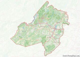
| County: | Morris County |
| Elevation: | 709 ft (216 m) |
| Total Area: | 1.35 sq mi (3.51 km²) |
| Land Area: | 1.19 sq mi (3.07 km²) |
| Water Area: | 0.17 sq mi (0.43 km²) 15.89% |
| Total Population: | 1,806 |
| Population Density: | 1,522.77/sq mi (587.92/km²) |
| FIPS code: | 3436720 |
| GNISfeature ID: | 02584005 |
Online Interactive Map
Click on ![]() to view map in "full screen" mode.
to view map in "full screen" mode.
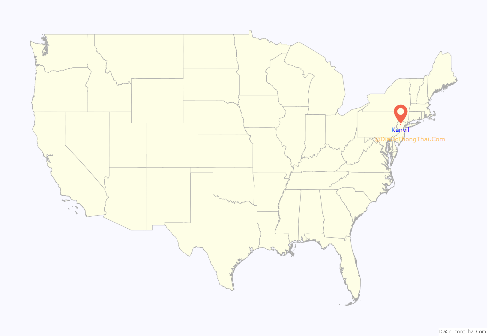
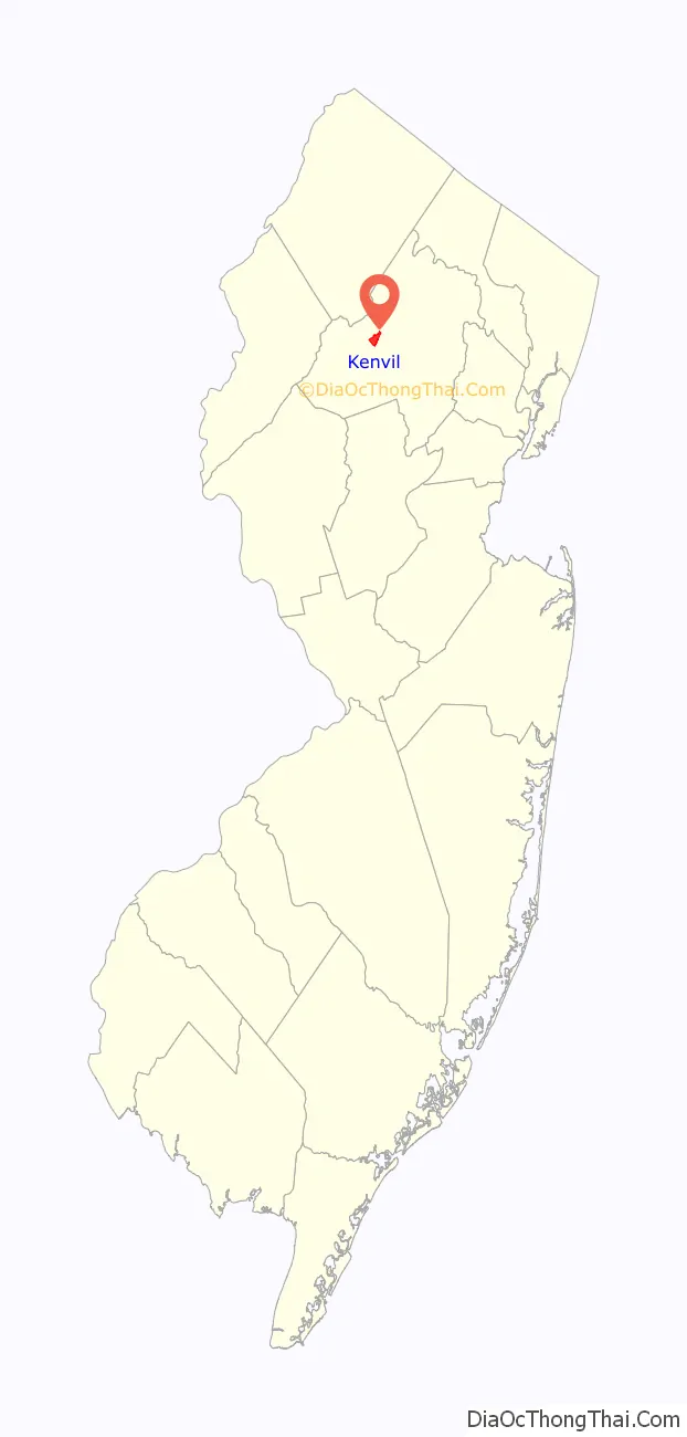
Kenvil location map. Where is Kenvil CDP?
History
The Kenvil section of Roxbury Township was originally called McCainsville.
Kenvil was home to the second dynamite plant in the US, established in 1872 by the Atlantic Giant Powder Company. After acquisition of the plant by the Hercules Powder Company in 1913, it also manufactured smokeless powder. The company experienced several major explosions, killing six people in 1934, 51 people in 1940, and shattering windows across town in 1989.
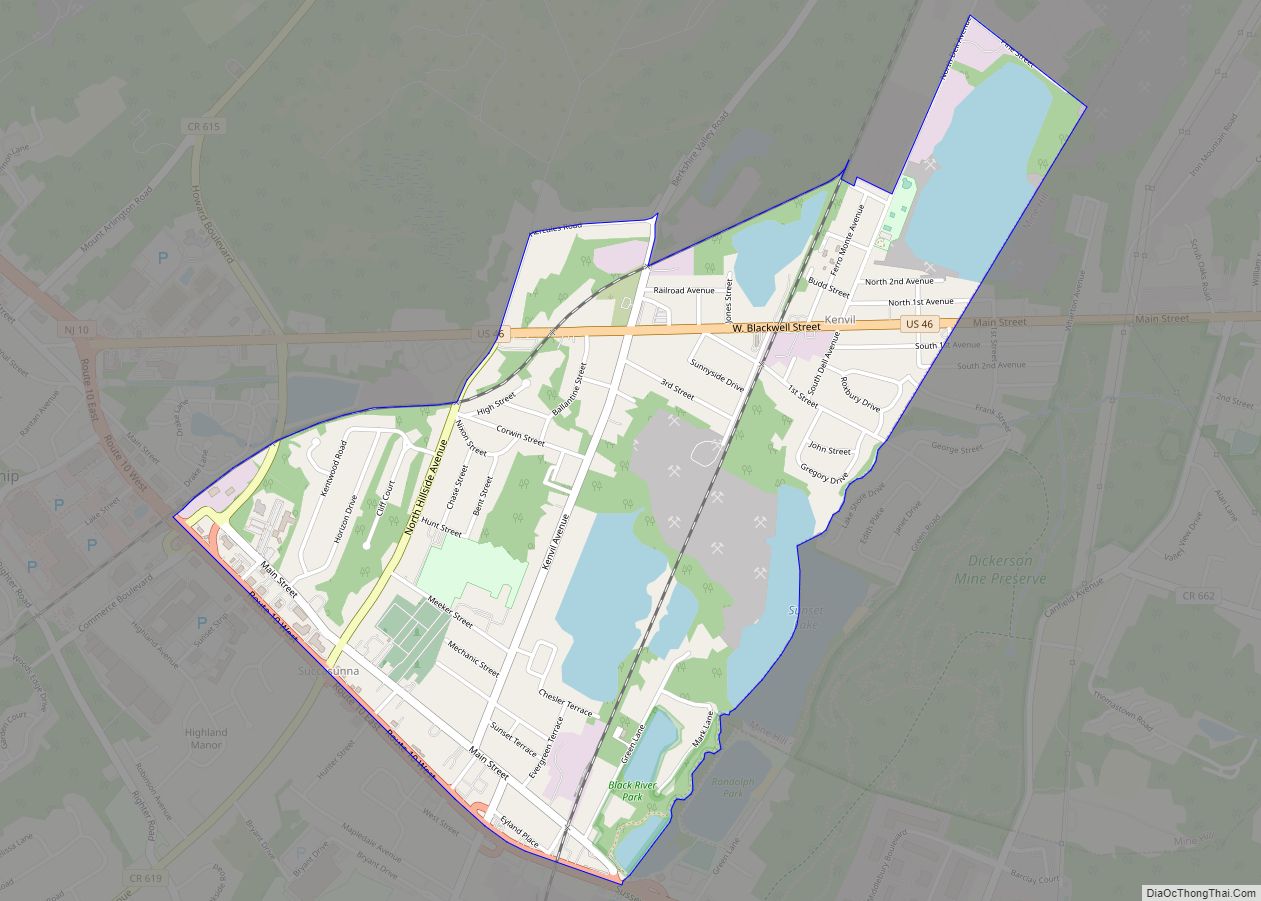
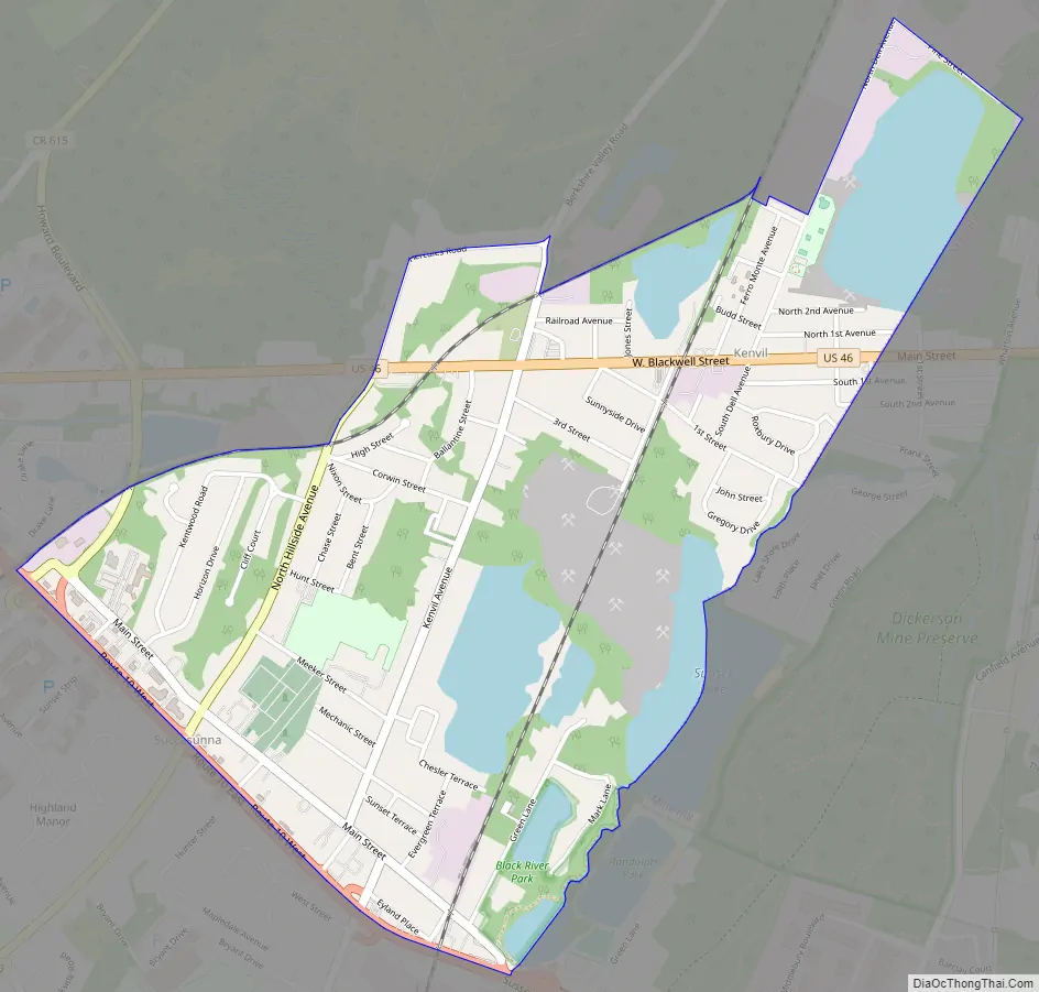
Kenvil Road Map
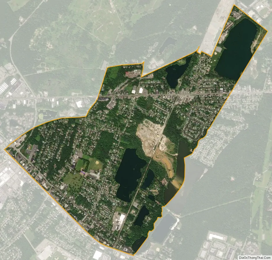
Kenvil city Satellite Map
Geography
According to the United States Census Bureau, the CDP had a total area of 1.581 square miles (4.095 km), including 1.330 square miles (3.444 km) of land and 0.251 square miles (0.651 km) of water (15.89%).
See also
Map of New Jersey State and its subdivision: Map of other states:- Alabama
- Alaska
- Arizona
- Arkansas
- California
- Colorado
- Connecticut
- Delaware
- District of Columbia
- Florida
- Georgia
- Hawaii
- Idaho
- Illinois
- Indiana
- Iowa
- Kansas
- Kentucky
- Louisiana
- Maine
- Maryland
- Massachusetts
- Michigan
- Minnesota
- Mississippi
- Missouri
- Montana
- Nebraska
- Nevada
- New Hampshire
- New Jersey
- New Mexico
- New York
- North Carolina
- North Dakota
- Ohio
- Oklahoma
- Oregon
- Pennsylvania
- Rhode Island
- South Carolina
- South Dakota
- Tennessee
- Texas
- Utah
- Vermont
- Virginia
- Washington
- West Virginia
- Wisconsin
- Wyoming