Kinnelon (/kɪnˌəlɒn/) is a borough in Morris County, in the U.S. state of New Jersey, located approximately 33 miles (53 km) west of New York City. As of the 2020 United States census, the borough’s population was 9,966, a decrease of 282 (−2.8%) from the 2010 census count of 10,248, which in turn reflected an increase of 883 (+9.4%) from the 9,365 counted in the 2000 census. It is a low-density, suburban community, with many parks and trails.
Once known as Charlotteburg, Kinnelon was formed as a borough by an act of the New Jersey Legislature on February 20, 1922, from portions of Pequannock Township, based on the results of a referendum passed on March 21, 1922. The borough’s name comes from Francis S. Kinney, who purchased 5,000 acres (20 km) of land in the 1880s for an estate that included Lake Kinnelon, and built St. Hubert’s Chapel in 1886 on an island in the lake.
Kinnelon is home to Smoke Rise, an upscale private gated community that describes itself as one of the oldest gated communities in the United States. It includes more than 900 unique homes located on 3,500 acres (1,400 ha) in addition to Lake Kinnelon and Kitty Ann Mountain.
In 2012, Forbes.com listed Kinnelon as 462nd in its listing of “America’s Most Expensive ZIP Codes”, with a median home price of $630,414.
The borough is one of the state’s highest-income communities. Based on data from the American Community Survey (ACS) for 2014–2018, Kinnelon residents had a median household income of $156,048, almost double the statewide median of $79,363.
| Name: | Kinnelon borough |
|---|---|
| LSAD Code: | 21 |
| LSAD Description: | borough (suffix) |
| State: | New Jersey |
| County: | Morris County |
| Incorporated: | March 21, 1922 |
| Elevation: | 699 ft (213 m) |
| Total Area: | 19.25 sq mi (49.86 km²) |
| Land Area: | 18.04 sq mi (46.73 km²) |
| Water Area: | 1.21 sq mi (3.13 km²) 6.27% |
| Total Population: | 9,966 |
| Population Density: | 552.8/sq mi (213.4/km²) |
| ZIP code: | 07405 |
| Area code: | 201 and 973 |
| FIPS code: | 3437110 |
| GNISfeature ID: | 0885269 |
| Website: | www.kinnelonboro.org |
Online Interactive Map
Click on ![]() to view map in "full screen" mode.
to view map in "full screen" mode.
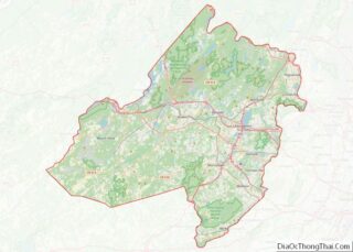
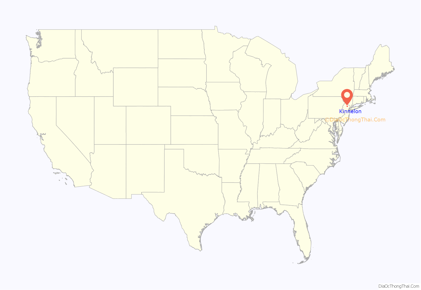
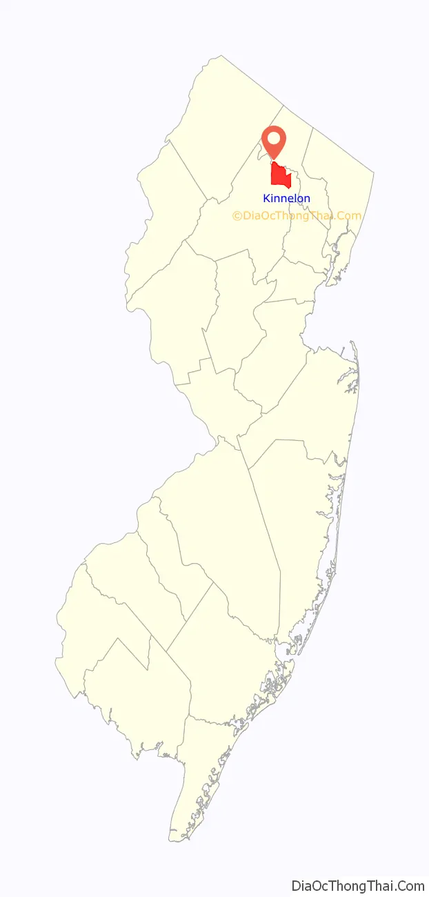
Kinnelon location map. Where is Kinnelon borough?
History
Once known as Charlotteburg (named after Charlotte, wife of King George III of Great Britain), Kinnelon was formed as a borough by an act of the New Jersey Legislature on February 20, 1922, from portions of Pequannock Township, based on the results of a referendum passed on March 21, 1922.
By the 1880s Francis Kinney, a 19th-century industrialist who founded Kinney Brothers Tobacco Company built an estate that dates back to 1884. Kinney purchased upwards of 5,000 acres (20 km) of land and built a colossal “summer cottage” known as Smoke Rise, which is a translation of the Pequannock Native American name for the mountainous area, where a heavy mist often rises at sunset. His son, Morris Kinney, for whom the borough of Kinnelon was named 41 years later, lived most of his life on the estate.
Upon Morris Kinney’s death in 1945, he left the estate to longtime friend John Talbot Sr., former mayor of the borough, and a founder of the Chilton Memorial Hospital, Pompton Plains (John Talbot Sr. was a real estate developer in New York City and a patron of the arts and was credited with the revival of ballet as a major art form in the United States in the 1930s), as a tribute to their lifetime friendship and mutually shared love of Smoke Rise.
Following the Second World War, the need for suburban housing became evident, John Talbot Sr. went on to create The Smoke Rise Club, one of the earliest community club plans in the United States. Unlike so many developers, he insisted that the land be kept in its natural state as far as possible. When friends asked to purchase land on the estate to build homes, Talbot decided to develop a planned community designed primarily to serve New York corporation executives. The Smoke Rise Club was the result in November 1946.
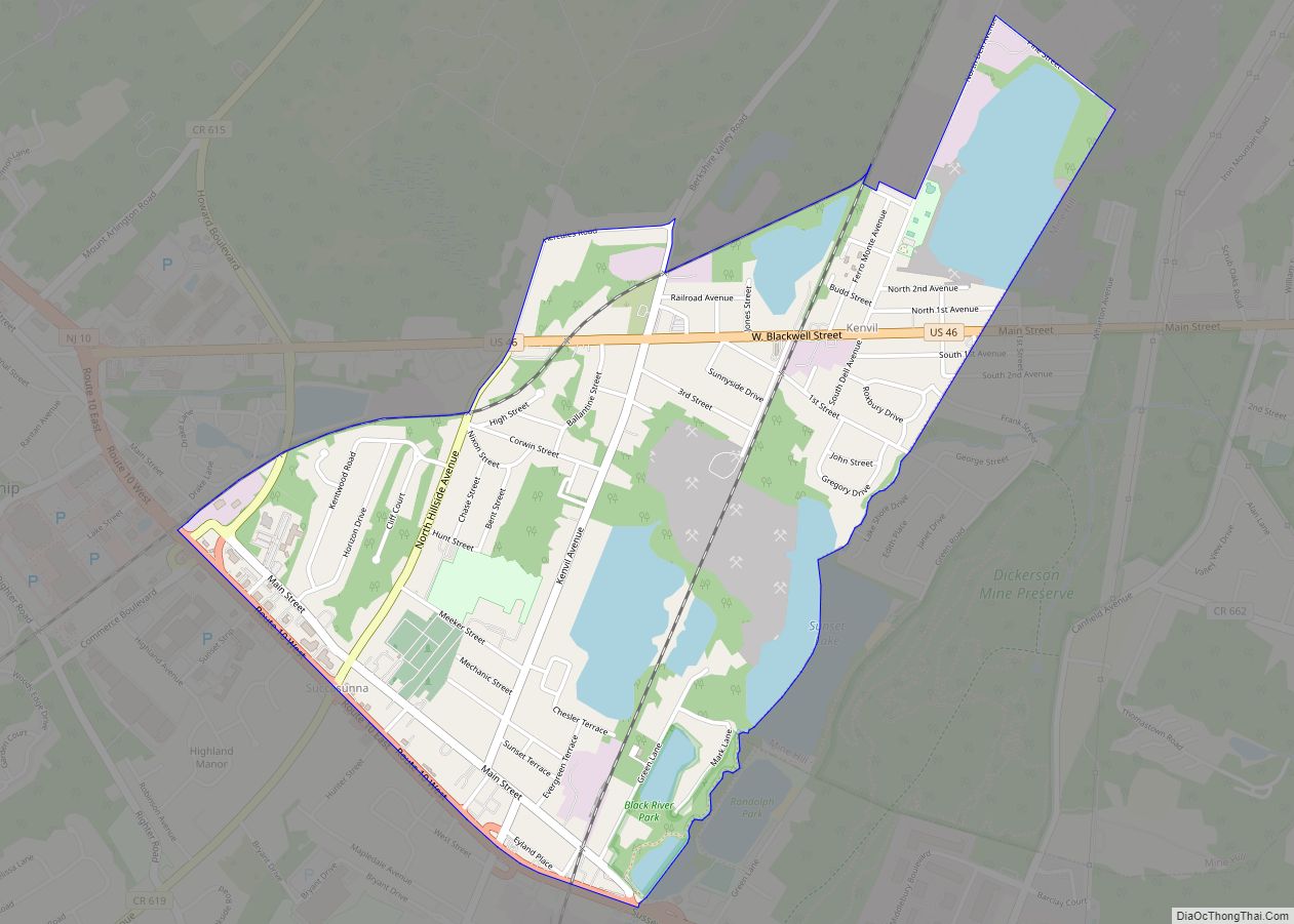
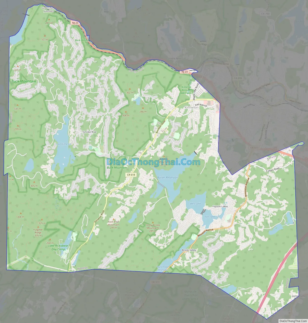
Kinnelon Road Map
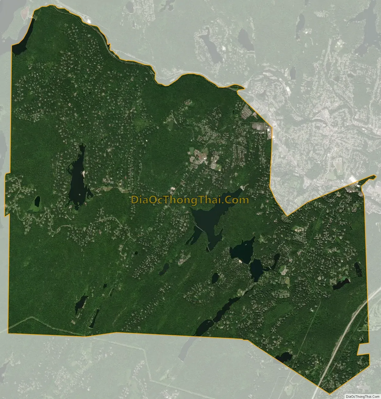
Kinnelon city Satellite Map
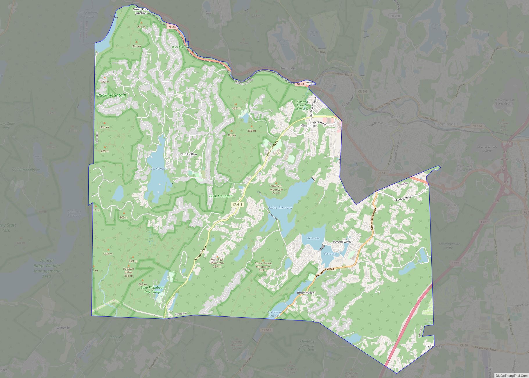
Geography
According to the United States Census Bureau, the borough had a total area of 19.24 square miles (49.82 km), including 18.03 square miles (46.70 km) of land and 1.21 square miles (3.13 km) of water (6.27%).
The borough is home to Silas Condict County Park, which covers 1,000 acres (400 ha) and was dedicated in 1964. Tripod Rock is located in Kinnelon’s Pyramid Mountain Natural Historical Area, portions of which are located in the borough. Its largest lake is Lake Kinnelon, which is within Smoke Rise, a private gated community of 900 homes located on 3,500 acres (1,400 ha).
Unincorporated communities, localities and place names located partially or completely within the township include Bald Hill, Brook Valley, Charlottesburg, Fayson Lakes, Ideal Lake, Jacksonville, Saw Mill Pond, Smoke Rise, Stickle Pond, Sun Tan Lake, Surprise Lake and Untermeyer Lake.
Splitrock Reservoir is 625 acres (2.53 km) of wilderness, located on the borders of Kinnelon and Rockaway Township.
The highest mountain in Kinnelon is Kitty Ann Mountain. Located in Smoke Rise, the mountain offers views of northern New Jersey at an elevation of 1,140 feet (350 m) from the Smoke Rise Tower.
Portions of the borough are owned by the City of Newark, Essex County, for their Pequannock River Watershed, which provides water to the city from an area of 35,000 acres (14,000 ha) that also includes portions of Hardyston Township, Jefferson Township, Rockaway Township, Vernon Township and West Milford.
Kinnelon borders the municipalities of Boonton Township, Butler, Lincoln Park, Montville, Pequannock Township, Riverdale and Rockaway Township in Morris County; and West Milford in Passaic County.
See also
Map of New Jersey State and its subdivision: Map of other states:- Alabama
- Alaska
- Arizona
- Arkansas
- California
- Colorado
- Connecticut
- Delaware
- District of Columbia
- Florida
- Georgia
- Hawaii
- Idaho
- Illinois
- Indiana
- Iowa
- Kansas
- Kentucky
- Louisiana
- Maine
- Maryland
- Massachusetts
- Michigan
- Minnesota
- Mississippi
- Missouri
- Montana
- Nebraska
- Nevada
- New Hampshire
- New Jersey
- New Mexico
- New York
- North Carolina
- North Dakota
- Ohio
- Oklahoma
- Oregon
- Pennsylvania
- Rhode Island
- South Carolina
- South Dakota
- Tennessee
- Texas
- Utah
- Vermont
- Virginia
- Washington
- West Virginia
- Wisconsin
- Wyoming