Leisure Village is an unincorporated community and census-designated place (CDP) located within Lakewood Township, in Ocean County, New Jersey, United States. As of the 2010 United States Census, the CDP’s population was 4,400. The sprawling active adult community is also locally known as “Original” Leisure Village because it was the first of three neighboring active adult communities bearing similar names. Leisure Village East, and Leisure Village West are the other two communities nearby. Original Leisure Village (OLV) is also referred to by the moniker “The Village of Seven Lakes.”
| Name: | Leisure Village CDP |
|---|---|
| LSAD Code: | 57 |
| LSAD Description: | CDP (suffix) |
| State: | New Jersey |
| County: | Ocean County |
| Elevation: | 49 ft (15 m) |
| Total Area: | 1.38 sq mi (3.58 km²) |
| Land Area: | 1.30 sq mi (3.38 km²) |
| Water Area: | 0.08 sq mi (0.20 km²) 6.00% |
| Total Population: | 4,966 |
| Population Density: | 3,808.28/sq mi (1,470.45/km²) |
| FIPS code: | 3439900 |
| GNISfeature ID: | 02390051 |
| Website: | www.leisurevillagenj.com |
Online Interactive Map
Click on ![]() to view map in "full screen" mode.
to view map in "full screen" mode.
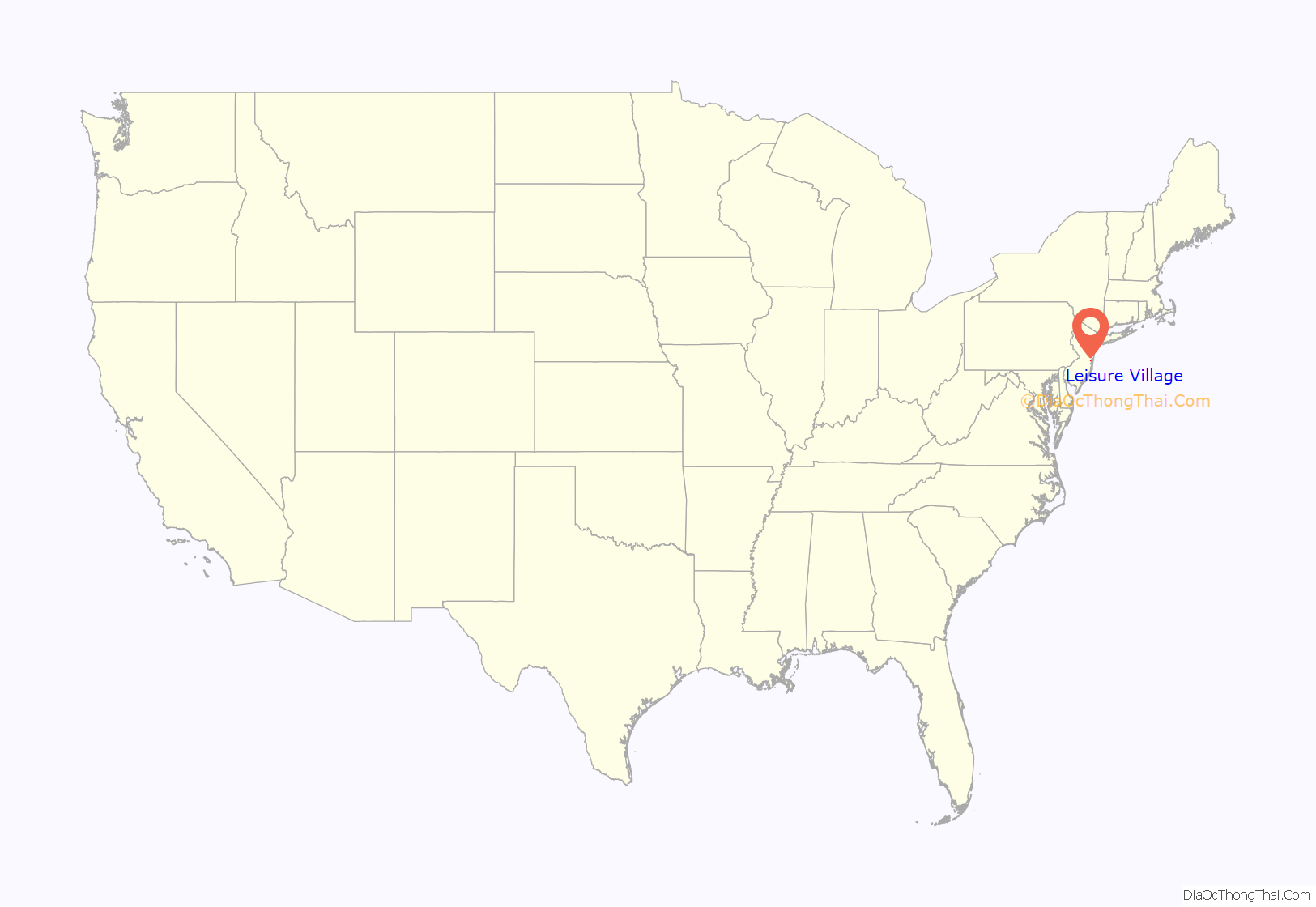
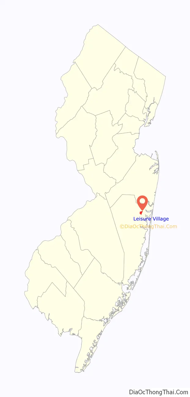
Leisure Village location map. Where is Leisure Village CDP?
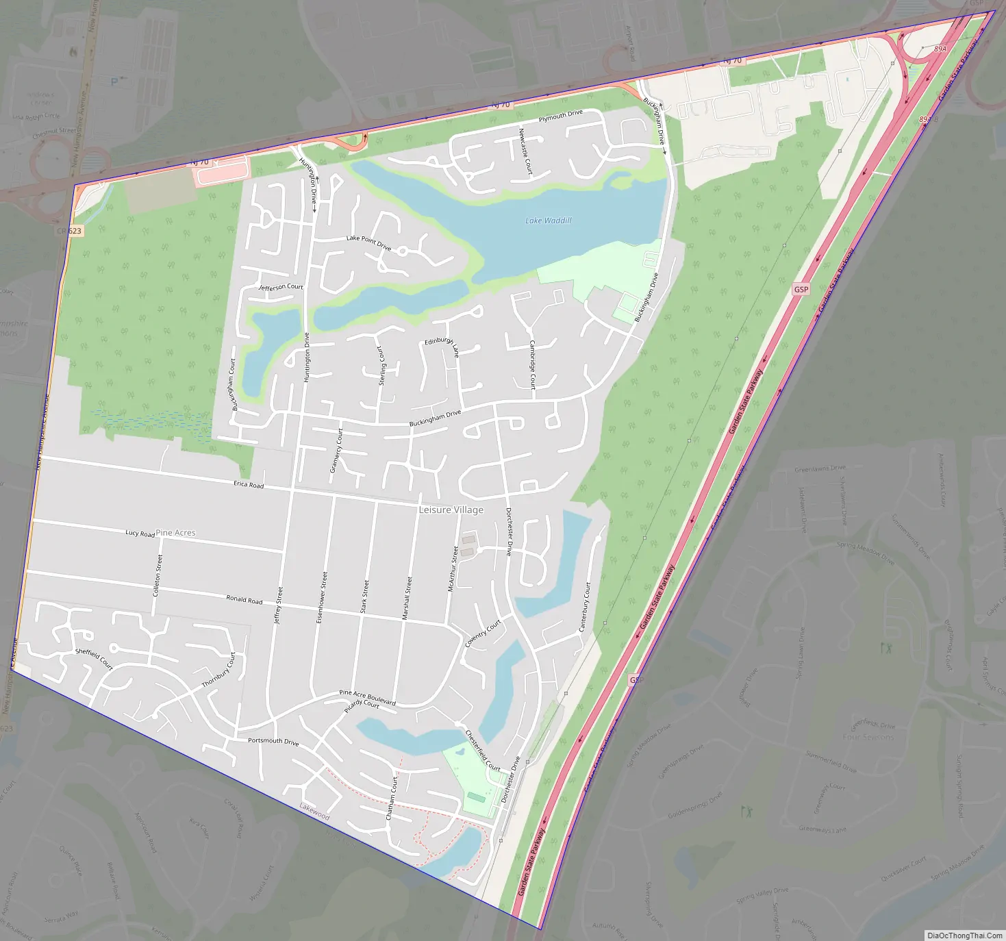
Leisure Village Road Map
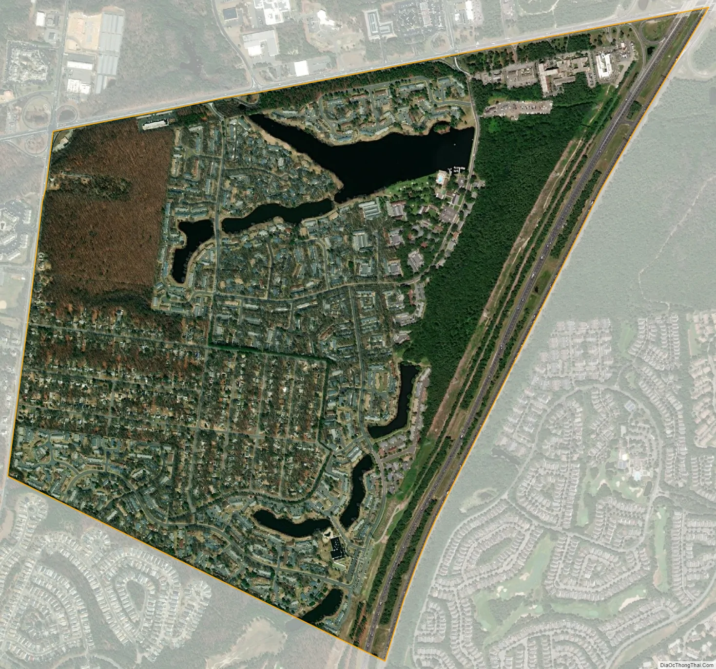
Leisure Village city Satellite Map
Geography
According to the United States Census Bureau, the CDP had a total area of 1.394 square miles (3.610 km), including 1.310 square miles (3.393 km) of land and 0.084 square miles (0.217 km) of water (6.00%).
See also
Map of New Jersey State and its subdivision: Map of other states:- Alabama
- Alaska
- Arizona
- Arkansas
- California
- Colorado
- Connecticut
- Delaware
- District of Columbia
- Florida
- Georgia
- Hawaii
- Idaho
- Illinois
- Indiana
- Iowa
- Kansas
- Kentucky
- Louisiana
- Maine
- Maryland
- Massachusetts
- Michigan
- Minnesota
- Mississippi
- Missouri
- Montana
- Nebraska
- Nevada
- New Hampshire
- New Jersey
- New Mexico
- New York
- North Carolina
- North Dakota
- Ohio
- Oklahoma
- Oregon
- Pennsylvania
- Rhode Island
- South Carolina
- South Dakota
- Tennessee
- Texas
- Utah
- Vermont
- Virginia
- Washington
- West Virginia
- Wisconsin
- Wyoming


