Madison is a borough in Morris County, in the U.S. state of New Jersey. As of the 2020 United States census, the borough’s population was 16,937, an increase of 1,092 (+6.9%) from the 2010 census count of 15,845, which in turn reflected a drop in population of 685 (−4.1%) from the 16,530 counted in the 2000 census.
Located along the Morris & Essex Lines, it is noted for Madison’s historic railroad station becoming one of America’s first commuter railroads, attracting well-to-do families from nearby Manhattan. It remains a popular commuter town for residents who work in New York City. The community maintains a population of nearly 18,000 residents. It is known as “The Rose City” and was named in honor of President James Madison.
Madison was ranked 33rd in Money Magazine’s 2011 ranking of the “Best Places to Live”, the 3rd highest-ranked place in New Jersey and second highest in Morris County behind Montville. New Jersey Monthly magazine ranked Madison first in the state in its 2019 rankings of the “Best Places to Live” in New Jersey.
Often regarded as a college town, along the Florham Park–Madison–Convent Station (Morris Township) border are three universities including Drew University, the Florham Campus of Fairleigh Dickinson University and the Saint Elizabeth University located in Convent Station. Madison is home to the Shakespeare Theatre of New Jersey, one of the largest professional Shakespeare companies in North America.
| Name: | Madison borough |
|---|---|
| LSAD Code: | 21 |
| LSAD Description: | borough (suffix) |
| State: | New Jersey |
| County: | Morris County |
| Incorporated: | December 27, 1889 |
| Elevation: | 266 ft (81 m) |
| Total Area: | 4.33 sq mi (11.20 km²) |
| Land Area: | 4.31 sq mi (11.17 km²) |
| Water Area: | 0.01 sq mi (0.03 km²) 0.30% |
| Total Population: | 16,937 |
| Population Density: | 3,926.6/sq mi (1,516.1/km²) |
| ZIP code: | 07940 |
| Area code: | 973 |
| FIPS code: | 3442510 |
| GNISfeature ID: | 0885287 |
| Website: | www.rosenet.org |
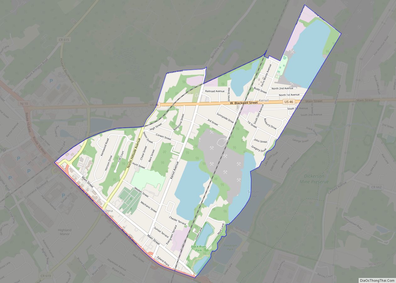
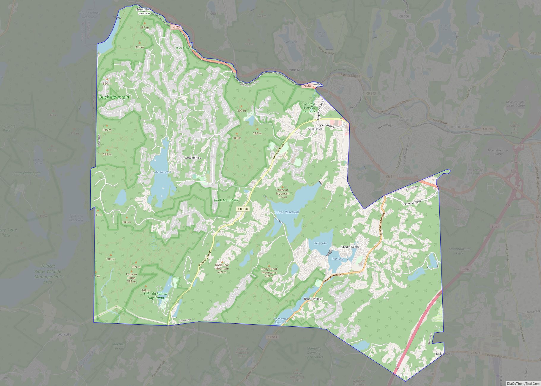
Online Interactive Map
Click on ![]() to view map in "full screen" mode.
to view map in "full screen" mode.
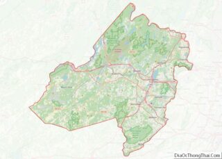
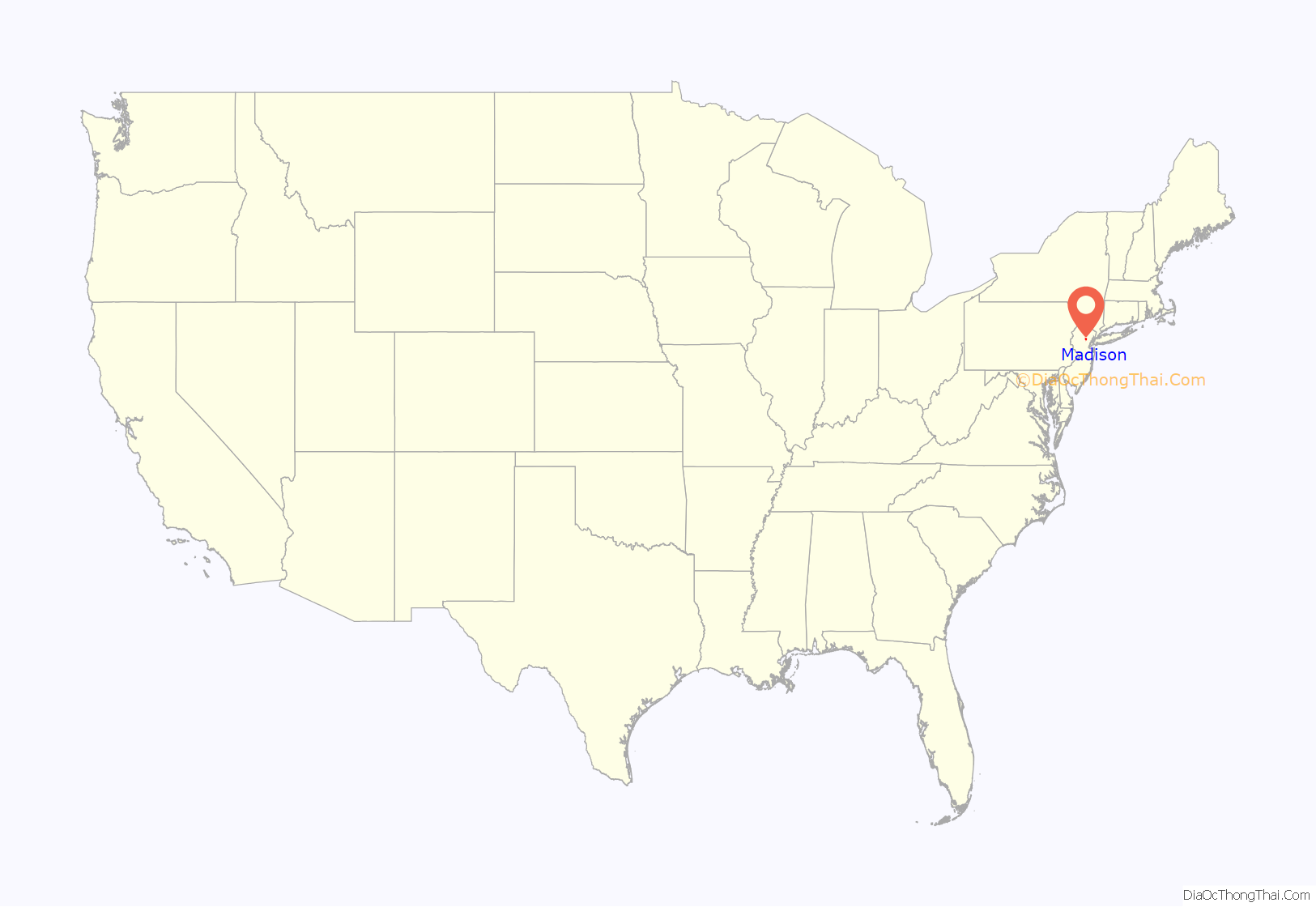
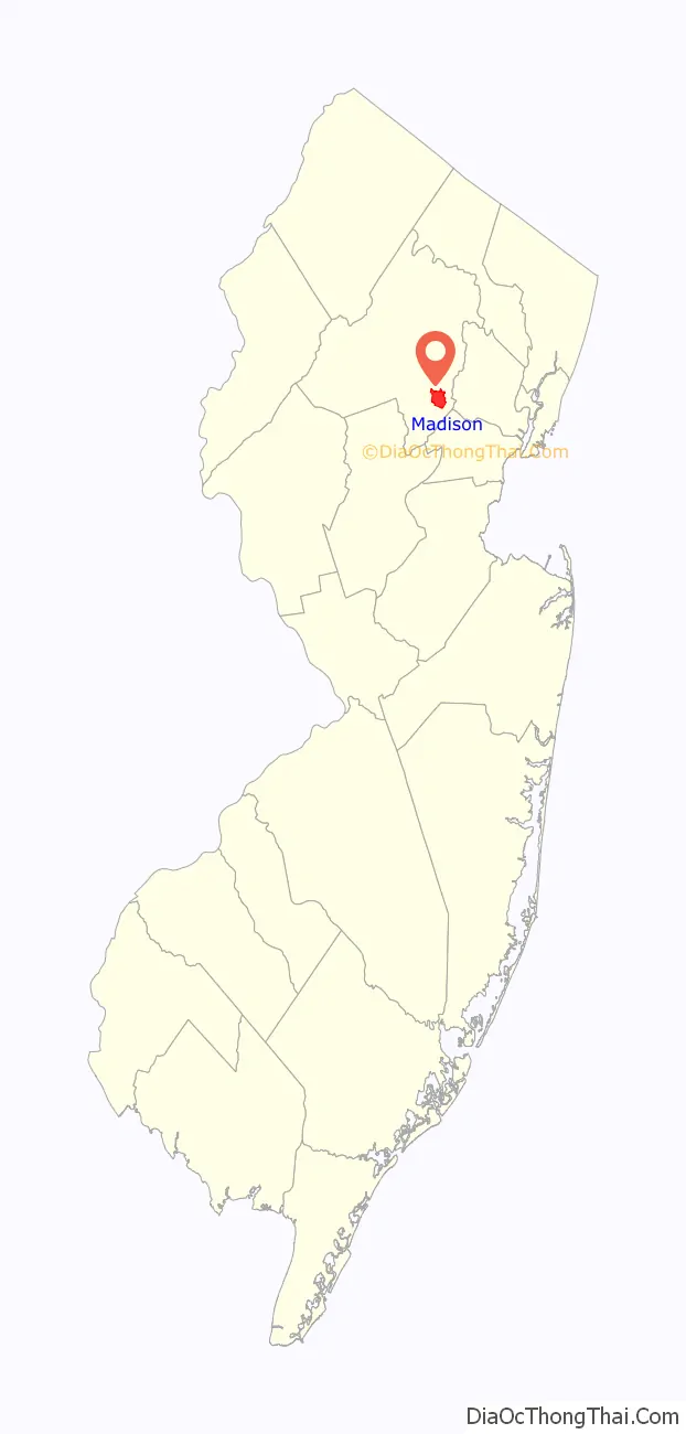
Madison location map. Where is Madison borough?
History
Native Americans occupied the areas that would become New Jersey, and Madison, following the retreat of the Wisconsin Glacier for many thousands of years. Settlements of the Lenape were agriculturally based following matrilineal lines. The protected lands nearby, Jockey Hollow, are what is remaining of the settlement. Occupation changed with the seasons, the variable nature of the climate, and to preserve the fertility of the rich soil. Their fishing and hunting territories were wide-ranging and similarly divided among the three clans of the matrilineal culture in this Eastern Woodland environment. Trade with these native peoples for food and furs was conducted by the Dutch during the period of colonization of New Netherland. Although the European principle of land ownership was not recognized by the Lenape, Dutch West India Company policy required their colonists to purchase land that they settled, but typically, trading relationships were established in this area, rather than Dutch settlements.
During the British colonial period, the earliest settlers of European descent arrived in this portion of the colony of New Jersey. Traditional native trails and pathways were followed as settlement began. Pressures upon the Lenape constantly drove them westward. About 1715 the village of Bottle Hill was established at the crossing of Ridgedale Avenue and Kings Road. Village governance principles followed the British model. The Luke Miller house at 105 Ridgedale Avenue is thought to be the oldest remaining home, having been built around 1730. During British colonial rule, Kings Road was a toll road that assessed fees levied by the government appointed by the English king. Farther south was the Shunpike, a road with a parallel path that was used by colonists to avoid the fees.
Morris County, created in 1739, was divided into three townships. The portion of the village north of Kings Road was put under the governance of Hanover Township and the portion to the south, under the governance of Morris Township. A meeting house for the Presbyterian Church of South Hanover, as Madison was then called, was started in 1747 where the Presbyterian Cemetery still exists between Kings Road and Madison Avenue. With the Treaty of Easton in 1758, the Lenape were required to vacate their lands in colonial New Jersey and to move westward. Their leaders allied with the colonists during the American Revolutionary War in hopes of regaining former lands, but those hopes were never realized.
Following the revolution, changes to governing the former colonies occurred gradually as the new nation organized. The state of New Jersey formed its government and debated best policies. During the reorganization of Morris County in 1806, Chatham Township was established and included all of present-day Chatham Township, along with the three existing pre-Revolutionary War villages (the municipalities of Chatham, Florham Park, and Madison) as well as all of the lands still governed by the Chatham Township, and thus the governmental division of Bottle Hill was ended.
In 1834, the name of the settlement was changed to Madison. As a tribute to the name every year there is a fair that is called Bottle Hill Day. On December 27, 1889, based on the results of a referendum passed on December 24, 1889, the village seceded from Chatham Township and adopted the newly created, borough government (when it first became available), to develop a local water supply system for its population of 3,250. Madison annexed additional portions of Chatham Township in 1891, and again each year from 1894 to 1898, which was followed by an exchange of certain lands in 1899 with Chatham Township.
Influence of early railroad
The Morris and Essex Railroad connected the town with Newark and Hoboken in 1838 and provided good transportation for farm produce grown at Madison. Later, the railroad made possible the establishment of a flourishing rose growing industry, still commemorated in Madison’s nickname, The Rose City. The rail service connected the commerce to the markets of Manhattan. Madison’s growth accelerated after the Civil War and the Morris and Essex Lines became one of America’s first commuter railroads, attracting well-to-do families from Manhattan (many of whom already owned large parcels land in the area for farming, hunting, and recreation) and contributing to the development of “Millionaire’s Row”, which stretched from downtown Madison to downtown Morristown. Greenhouses dotted the countryside. Talented horticulturalists were attracted to the area for employment at the many wealthy estates in the immediate area and to establish related businesses. One of the first grand houses to be built on “Millionaire’s Row” was the Ross Estate. In 1893, Florence Adele Vanderbilt and her husband Hamilton McKown Twombly began to built the impressive Florham estate. Home to Fairleigh Dickinson University, Florham is a Gilded Age mansion and the 9th largest house in the United States.
Madison’s historic railroad station was funded by the community, which passed an ordinance authorizing $159,000 for railroad improvement bonds. The result, with the cooperation of the D.L. & W.R.R. in the planning, was completed in 1916. The tracks were elevated through the downtown so that no established roadways were hindered by crossing delays. Mrs. D. Willis James financed much of the road grading caused by the elevation of the tracks. The station included baggage and cargo facilities readily accessible by wagon, as well as the stationmaster offices, a newsstand, and waiting facilities featuring extensive banks of high-backed wooden seating. Weeping mulberry trees were planted among the landscaping and in natural areas in the parking area.
The rose industry and the large estates in the area attracted working-class people of all kinds. As a result, Madison developed a diverse population very early, both in terms of socioeconomic status and ethnic background. The original settlers were of British stock; French settlers came after the American Revolution; African Americans have been members of the community from early in the nineteenth century; Irish came in the mid-nineteenth century; and then Germans and Italians arrived around the turn of the twentieth century. To this day there is a substantial population of Italian descent in Madison. Madison remains a diverse community, with recent newcomers arriving from Central America, South America, and Asia. Madison is a railroad suburb of New York City.
Madison Road Map

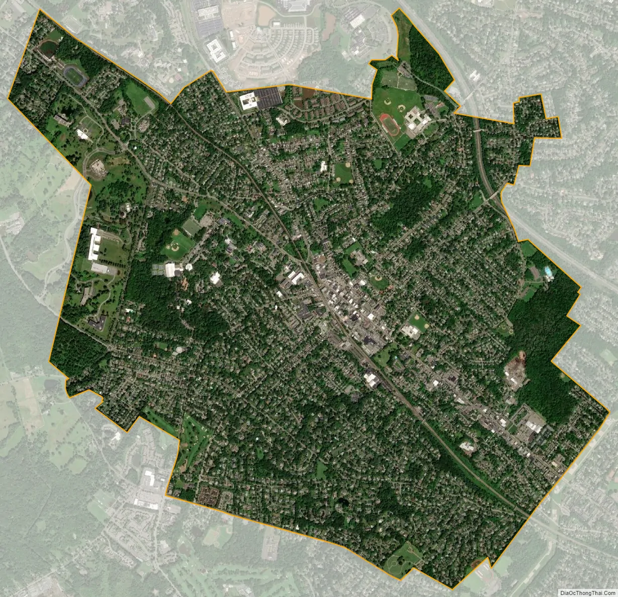
Madison city Satellite Map
Geography
According to the United States Census Bureau, the borough had a total area of 4.33 square miles (11.20 km), including 4.31 square miles (11.17 km) of land and 0.01 square miles (0.03 km) of water (0.30%). Madison is located about 25 miles (40 km) west of downtown Manhattan, and is a suburban town of New York City.
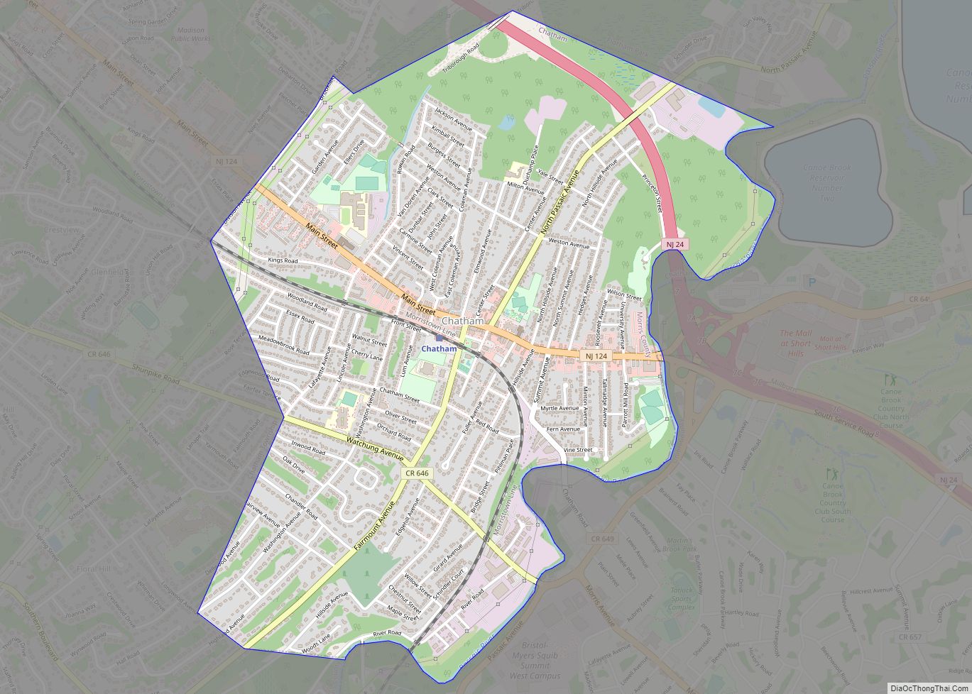
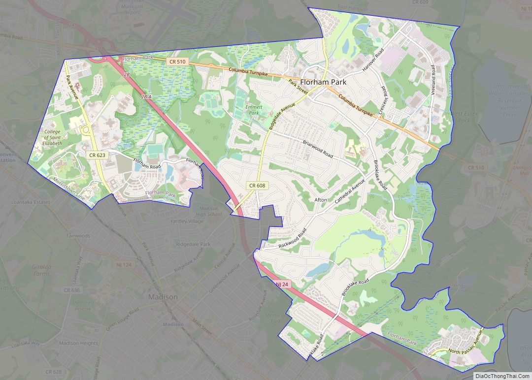
Madison borders the Morris County municipalities of Chatham Borough to the east, Chatham Township to the south, Harding Township and Morris Township to the west and Florham Park to the north.
Unincorporated communities, localities and place names located partially or completely within the borough include Brooklake Park, East Madison and North Park.
See also
Map of New Jersey State and its subdivision: Map of other states:- Alabama
- Alaska
- Arizona
- Arkansas
- California
- Colorado
- Connecticut
- Delaware
- District of Columbia
- Florida
- Georgia
- Hawaii
- Idaho
- Illinois
- Indiana
- Iowa
- Kansas
- Kentucky
- Louisiana
- Maine
- Maryland
- Massachusetts
- Michigan
- Minnesota
- Mississippi
- Missouri
- Montana
- Nebraska
- Nevada
- New Hampshire
- New Jersey
- New Mexico
- New York
- North Carolina
- North Dakota
- Ohio
- Oklahoma
- Oregon
- Pennsylvania
- Rhode Island
- South Carolina
- South Dakota
- Tennessee
- Texas
- Utah
- Vermont
- Virginia
- Washington
- West Virginia
- Wisconsin
- Wyoming