Mantoloking is a coastal borough in Ocean County, in the U.S. state of New Jersey. As of the 2020 United States census, the borough’s population was 331, an increase of 35 (+11.8%) from the 2010 census count of 296, which in turn reflected a decline of 127 (−30.0%) from the 423 counted at the 2000 census. The borough has an estimated summer population of approximately 5,000.
As of the 2000 census, Mantoloking was the highest-income community in the state of New Jersey with a per capita money income of $114,017 as of 1999, an increase of 29.8% from the $87,830 recorded in 1989. Based on data from the 2006–2010 American Community Survey, the borough had a per-capita income of $97,938, ranked 4th in the state. In the Forbes magazine 2012 rankings of “America’s Most Expensive ZIP Codes”, the borough was ranked 139th, with a median price of $1,403,349.
Mantoloking was incorporated as a borough by an act of the New Jersey Legislature on April 10, 1911, from portions of Brick Township. The name Mantoloking is derived from the Unami language of the Lenni Lenape Native Americans who once inhabited New Jersey. Various meanings have been attributed to the community’s name including “frog ground” or “sand place”.
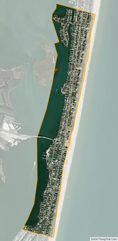
The borough is a Jersey Shore community situated on the Barnegat Peninsula, also known as Barnegat Bay Island, a long, narrow barrier island that separates Barnegat Bay from the Atlantic Ocean. The town is linked to the New Jersey-mainland via the Mantoloking Bridge, linking the town with Brick Township across the Barnegat Bay. Mantoloking is home to the Olympic-champion producing Mantoloking Yacht Club. Some old “summer cottages” in the borough were designed by architect Stanford White of McKim, Mead & White. Together with Bay Head to the north, Mantoloking is considered part of the Jersey Shore’s “Gold Coast”. It is a dry town where alcohol is not permitted to be sold by law.
| Name: | Mantoloking borough |
|---|---|
| LSAD Code: | 21 |
| LSAD Description: | borough (suffix) |
| State: | New Jersey |
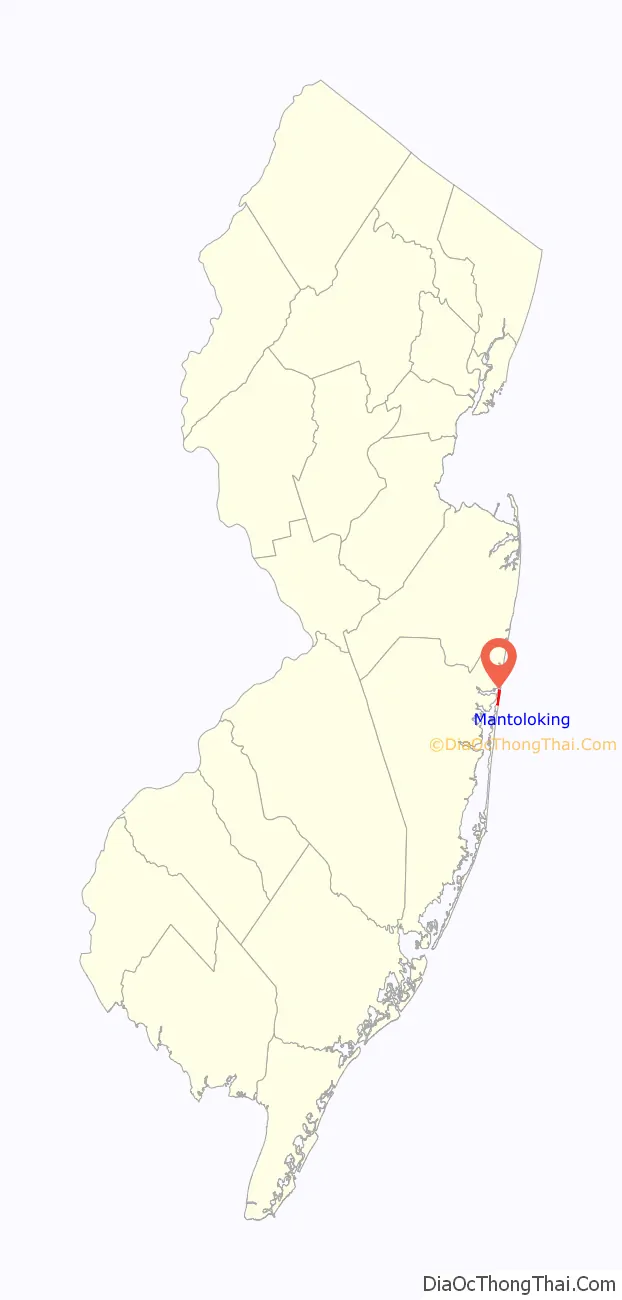
| County: | Ocean County |
| Incorporated: | April 10, 1911 |
| Elevation: | 0 ft (0 m) |
| Total Area: | 0.64 sq mi (1.66 km²) |
| Land Area: | 0.39 sq mi (1.00 km²) |
| Water Area: | 0.25 sq mi (0.66 km²) 39.69% |
| Total Population: | 331 |
| Population Density: | 857.0/sq mi (330.9/km²) |
| ZIP code: | 08738 |
| Area code: | 732 |
| FIPS code: | 3443380 |
| GNISfeature ID: | 0885290 |
| Website: | www.mantoloking.org |
Online Interactive Map
Click on ![]() to view map in "full screen" mode.
to view map in "full screen" mode.
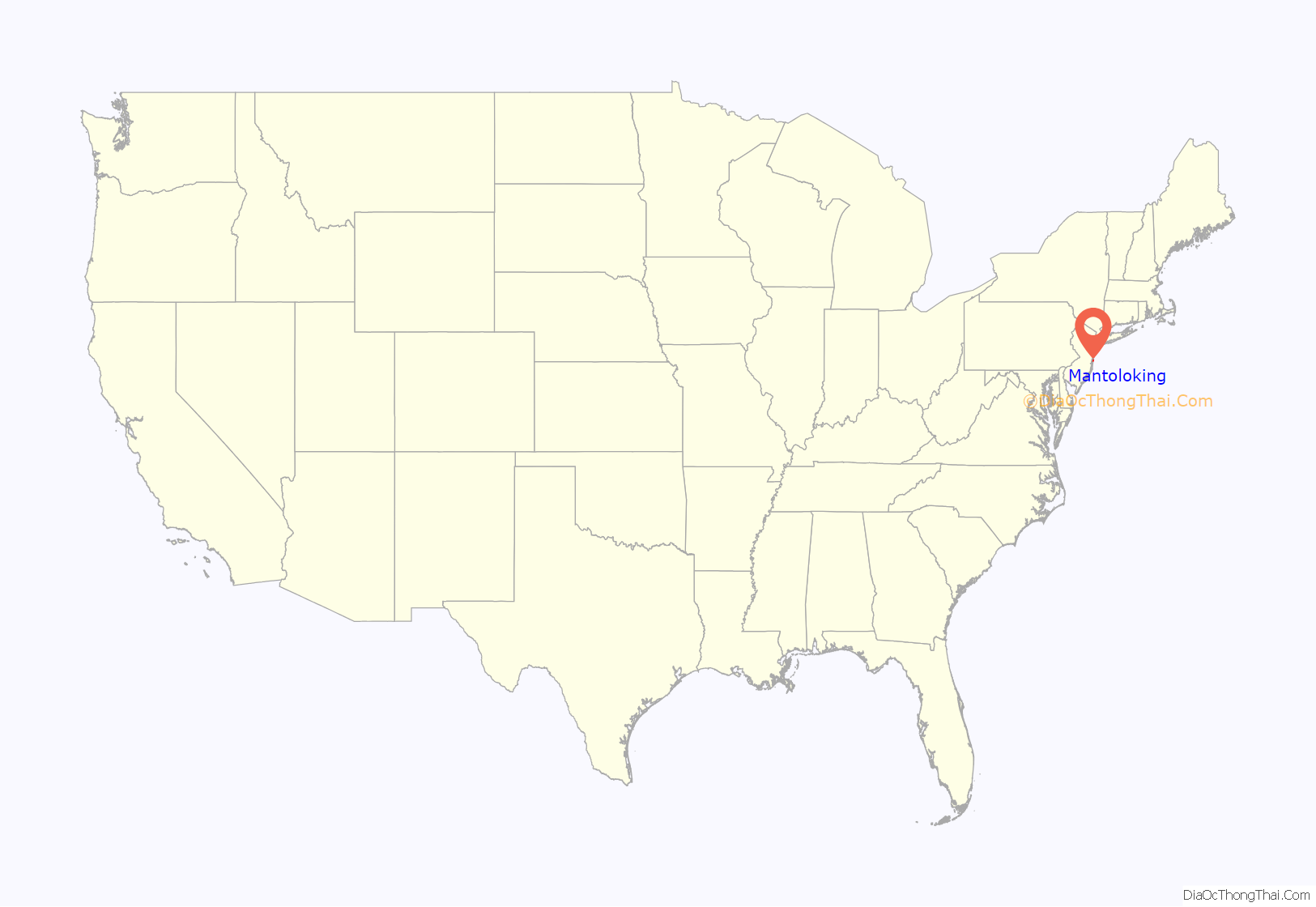
Mantoloking location map. Where is Mantoloking borough?
History
Impact of Hurricane Sandy
During Hurricane Sandy in 2012, storm surge damaged about 90% of the properties in Mantoloking with the largest damage occurring when a breach was formed between the Barnegat Bay and the Atlantic Ocean in the vicinity of Herbert Street (CR 528).
When Hurricane Sandy made landfall in New Jersey on October 29, 2012, the effects were severe, and Mantoloking was especially hard hit, with more than 50 homes requiring demolition, accounting for almost 10% of the housing units in the borough as of the 2010 Census. Verizon Communications announced in July 2013 that it won’t rebuild its copper-wire based plain old telephone service to Mantoloking residents, instead providing them with its Voice Link wireless service, an effort that brought protests from the AARP. Residents have complained that many calls don’t go through when dialed, that fax transmissions cannot be made, that 911 calls may be affected by network bottlenecks and that power outages would result in the loss of service.
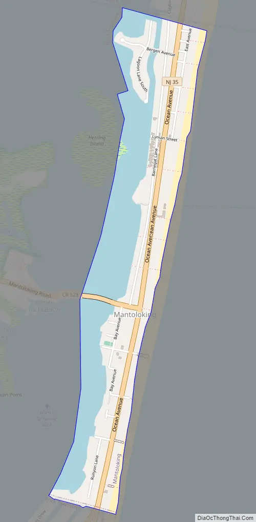
Mantoloking Road Map
Mantoloking city Satellite Map
Geography
According to the United States Census Bureau, the borough had a total area of 0.64 square miles (1.66 km), including 0.39 square miles (1.00 km) of land and 0.25 square miles (0.66 km) of water (39.69%).
The borough borders the Ocean County municipalities of Bay Head, Brick Township and Point Pleasant.
See also
Map of New Jersey State and its subdivision: Map of other states:- Alabama
- Alaska
- Arizona
- Arkansas
- California
- Colorado
- Connecticut
- Delaware
- District of Columbia
- Florida
- Georgia
- Hawaii
- Idaho
- Illinois
- Indiana
- Iowa
- Kansas
- Kentucky
- Louisiana
- Maine
- Maryland
- Massachusetts
- Michigan
- Minnesota
- Mississippi
- Missouri
- Montana
- Nebraska
- Nevada
- New Hampshire
- New Jersey
- New Mexico
- New York
- North Carolina
- North Dakota
- Ohio
- Oklahoma
- Oregon
- Pennsylvania
- Rhode Island
- South Carolina
- South Dakota
- Tennessee
- Texas
- Utah
- Vermont
- Virginia
- Washington
- West Virginia
- Wisconsin
- Wyoming


