| Name: | Millville city |
|---|---|
| LSAD Code: | 25 |
| LSAD Description: | city (suffix) |
| State: | New Jersey |
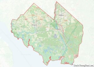
| County: | Cumberland County |
| Founded: | c. 1720 |
| Incorporated: | February 24, 1801 (as Township) |
| Elevation: | 43 ft (13 m) |
| Total Area: | 44.50 sq mi (115.25 km²) |
| Land Area: | 42.00 sq mi (108.78 km²) |
| Water Area: | 2.50 sq mi (6.47 km²) 5.62% |
| Total Population: | 27,491 |
| Population Density: | 654.6/sq mi (252.7/km²) |
| ZIP code: | 08332 |
| Area code: | 856 |
| FIPS code: | 3446680 |
| GNISfeature ID: | 0885304 |
| Website: | www.millvillenj.gov |
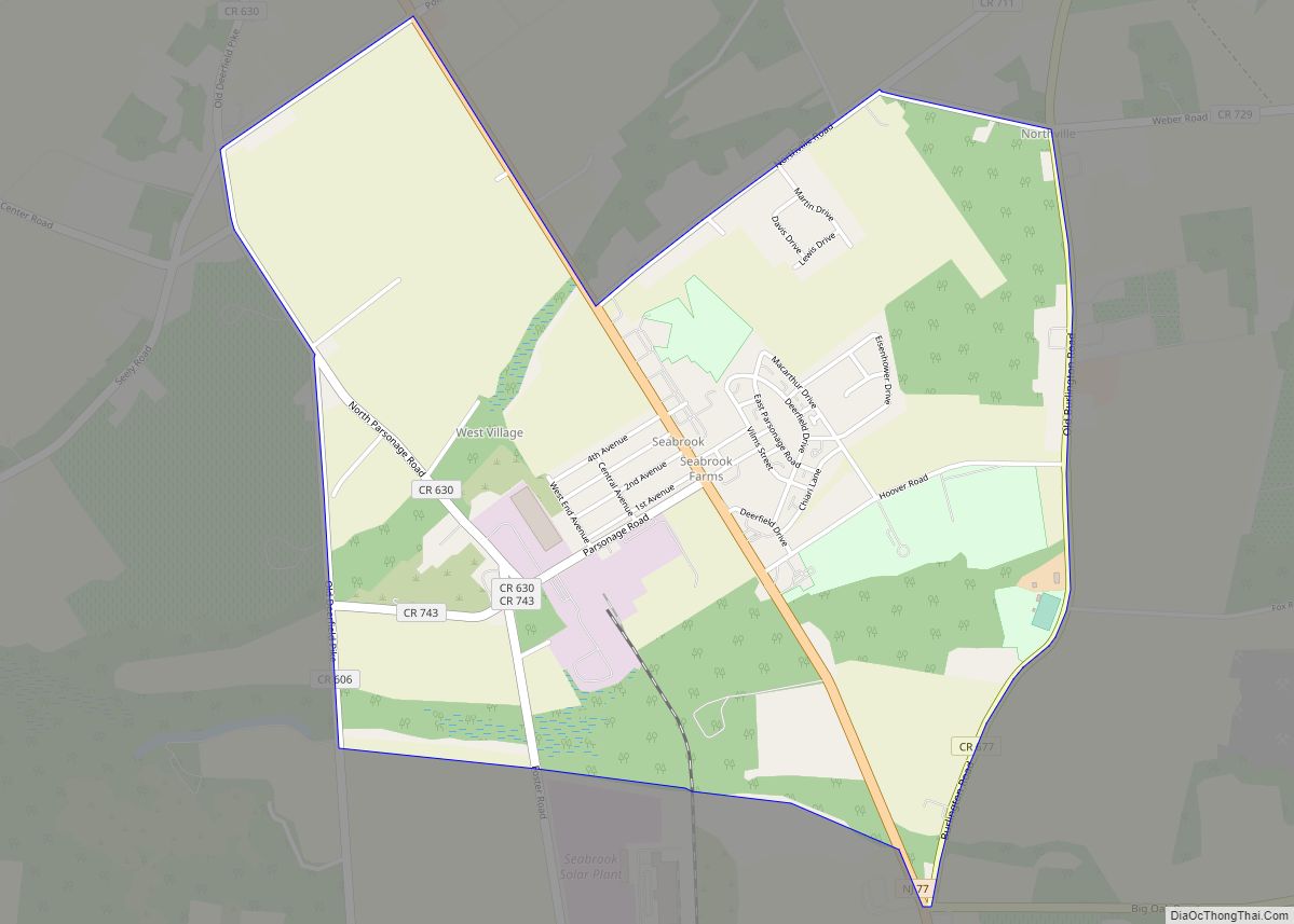
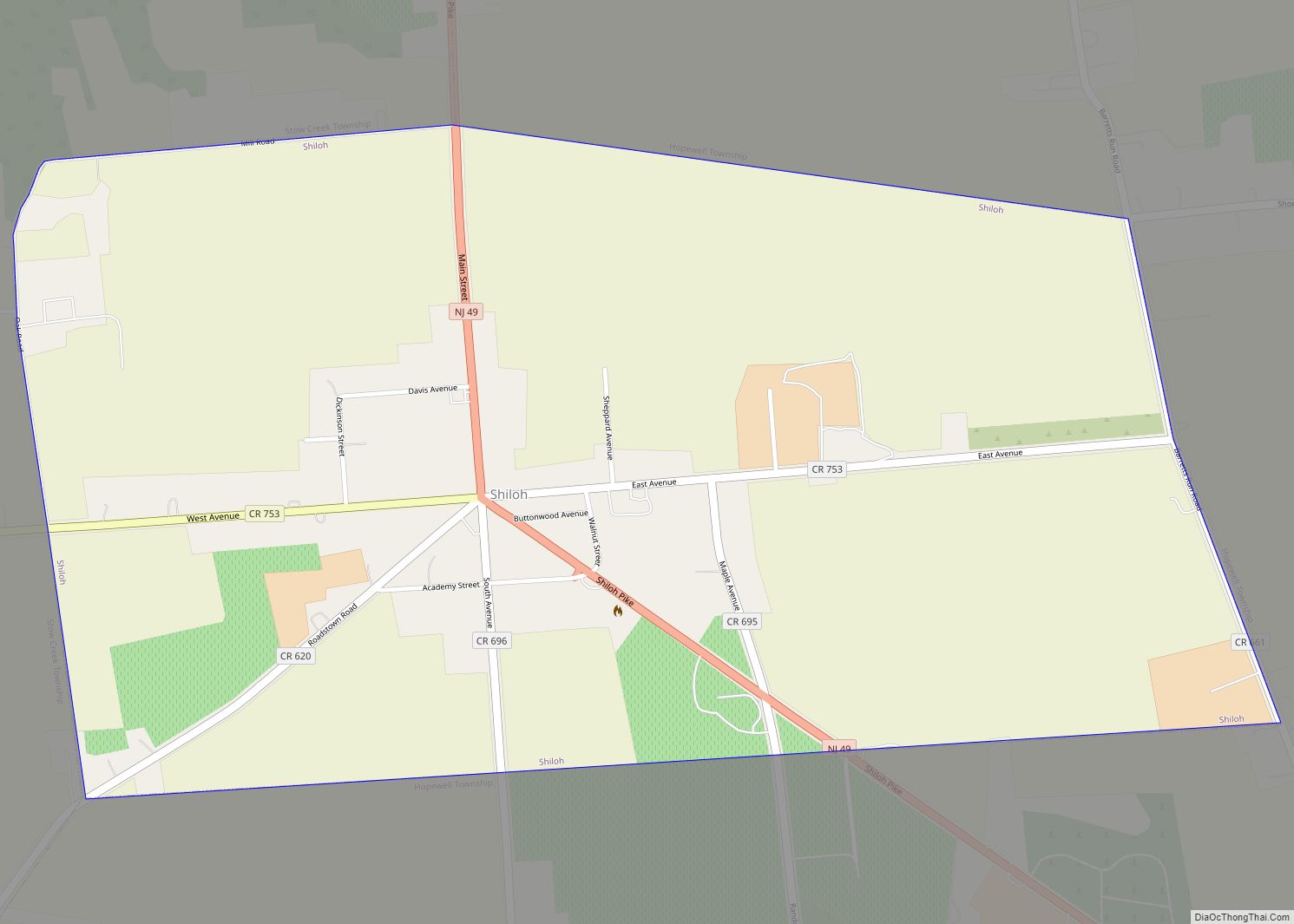
Online Interactive Map
Click on ![]() to view map in "full screen" mode.
to view map in "full screen" mode.
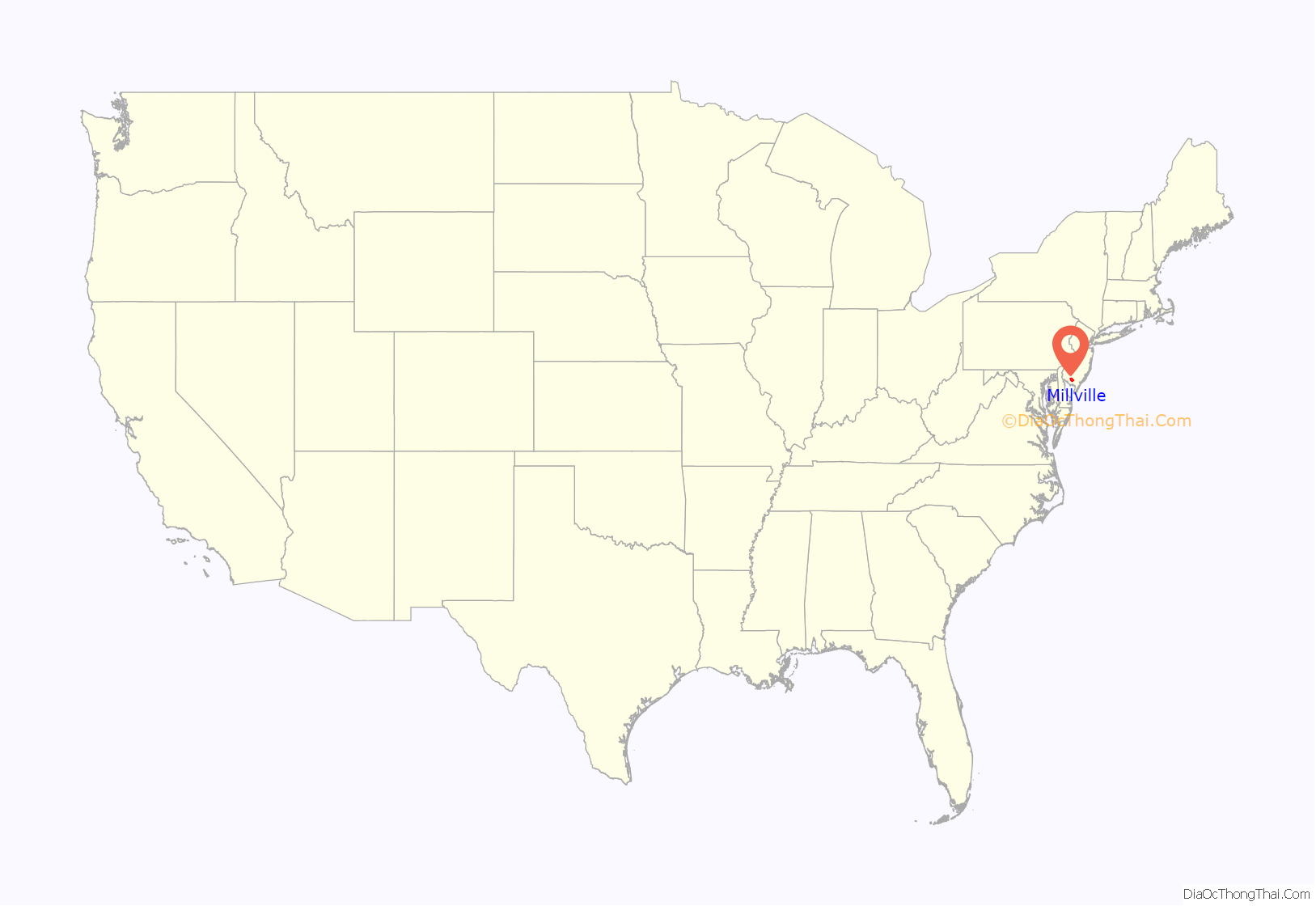
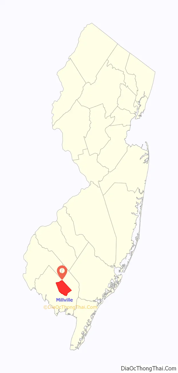
Millville location map. Where is Millville city?
History
Around 1720, a sawmill was believed to have existed at Leaming’s Mill, known as “Shingle Landing” in its earliest days. The area also had a public road, a boat landing, and a bridge-like structure.
In 1790, Joseph Smith and Henry Drinker purchased 24,000 acres (97 km) of land known as the Union Mills Tract. They formed the Union Estates Company, built lumber mills along the Maurice River and established a dam to power these new mills. Joseph Buck, an American Revolutionary War veteran who served under General George Washington, was part of a group that purchased the land in the area in 1795 and laid out the plans for what would become Millville.
In 1806, an Irish immigrant, James Lee, opened the area’s first glass factory, making use of the large amounts of silica sand and the ample wood that could be used to operate the plant.
In the early 1850s, the Smith and Wood Iron Foundry and New Jersey Mills were constructed. In 1860, a bleachery and dye house were added to New Jersey Mills, which then became Millville Manufacturing. David Wood then constructed a dam, forming the largest man-made lake in the state, which powered the entire manufacturing organization. By 1870, the mill had 600 employees, and in 40 years this number doubled.
In 1862, Charles K. Landis laid out the city of Vineland about 2.5 miles (4.0 km) east of the Maurice River. In 1864, Vineland was separated from Millville Township and joined the new Landis Township.
In 1936, the town was the site of Roosevelt Park, a project proposed by Effie Maud Aldrich Morrison as the country’s first housing development for the elderly. The retirement colony was built on land which had been repossessed by the town of Millville for back taxes, and became known as the “Roosevelt Colony”. It was later renamed to the “Roosevelt Park” old age colony, and was sometimes referred to as the Colony for the Aged at Roosevelt Park and Roosevelt Park Colony for Aged. When it opened on October 23, 1936, it became the first senior citizens retirement colony in the United States.
Millville Airport was dedicated “America’s First Defense Airport” on August 2, 1941, by local, state, and federal officials. In less than a year, construction of military base facilities began, and in January 1943, the Millville Army Air Field opened as a gunnery school for fighter pilots. Gunnery training began with Curtiss P-40 Warhawk aircraft, but after a few weeks was changed over to the Republic P-47 Thunderbolt. During its three-year existence, thousands of soldiers and civilians served here, with about 1,500 pilots receiving advanced fighter training in the Thunderbolt.
Following World War II, the airfield was declared excess to the government’s needs, and returned to the City of Millville. Most of the airport buildings were converted to apartments for the many veterans returning from the war. The last of the apartments vanished in the early 1970s, and the airport soon became a hub of industry and aviation for Southern New Jersey.
Up to the late 1990s the Millville downtown area was depressed and somewhat isolated, as illustrated by the abandoned Levoy Theatre and Wheaton Glass Factory, with investors reluctant to venture in its development. Major redevelopment has occurred in the past several years, establishing the scenic Riverfront and Downtown areas into an artists’ haven, including many studios, shops, and restaurants. Older abandoned buildings have been restored, and continued major development is planned.
Millville has an arts district named the Glasstown Arts District. A public art center with galleries and studios is the hub of activity, and is open six days a week. The district includes seven full-time galleries, along with ten part-time galleries and studios, which are open mostly on weekends and on the third Friday of each month. Wheaton Arts and the Creative Glass Center of America includes a major collection of early American glass with contemporary glass from CGCA Fellows and working glass artists in a restored 19th century glass factory. Opened in 1908 and closed in 1974 with declining numbers of customers, the Levoy Theatre re-opened in September 2012.
One of Millville’s claims to fame is an original paperweight making technique which originated there. Fine paperweights from the classic period (1845–1870) were made with one of three techniques: millefiori, lampwork or cameo incrustations (sulphides). In the first decade of the twentieth century, crimp flowers, mostly roses, originated in Millville, with several glassworkers making them in their off duty time. These paperweights are commonly called “Millville roses,” even when sometimes made elsewhere.
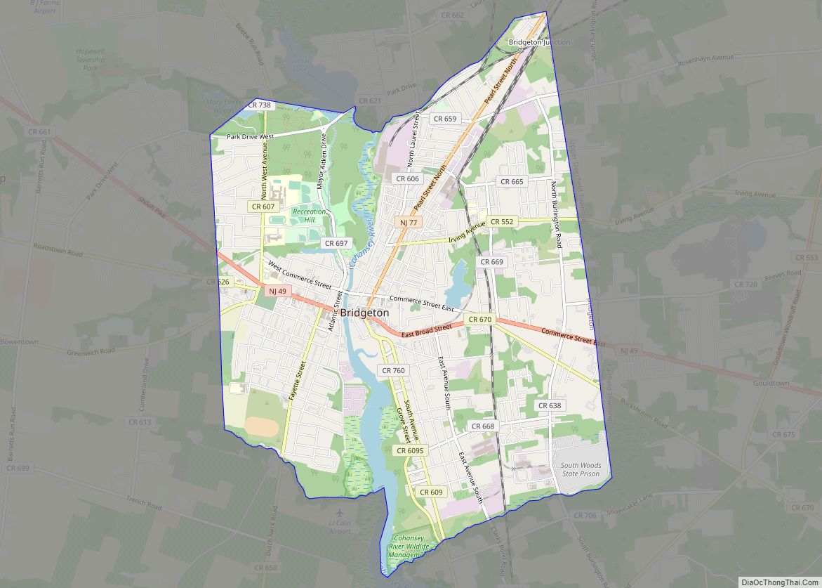
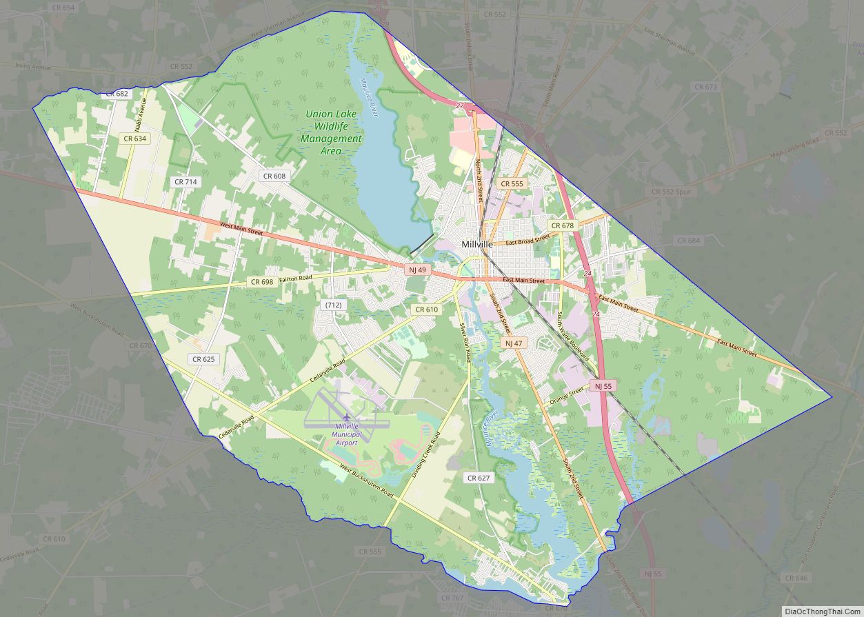
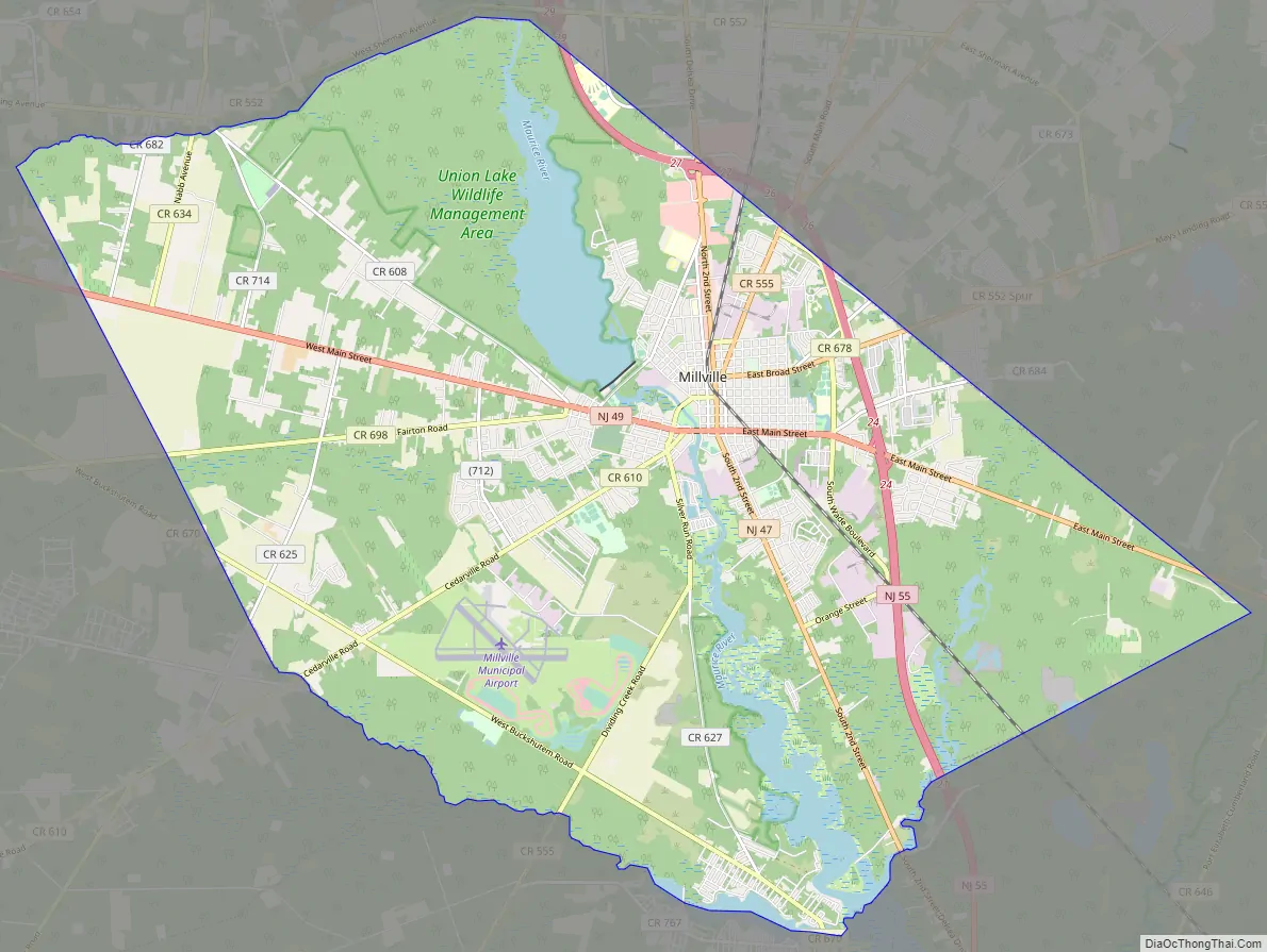
Millville Road Map
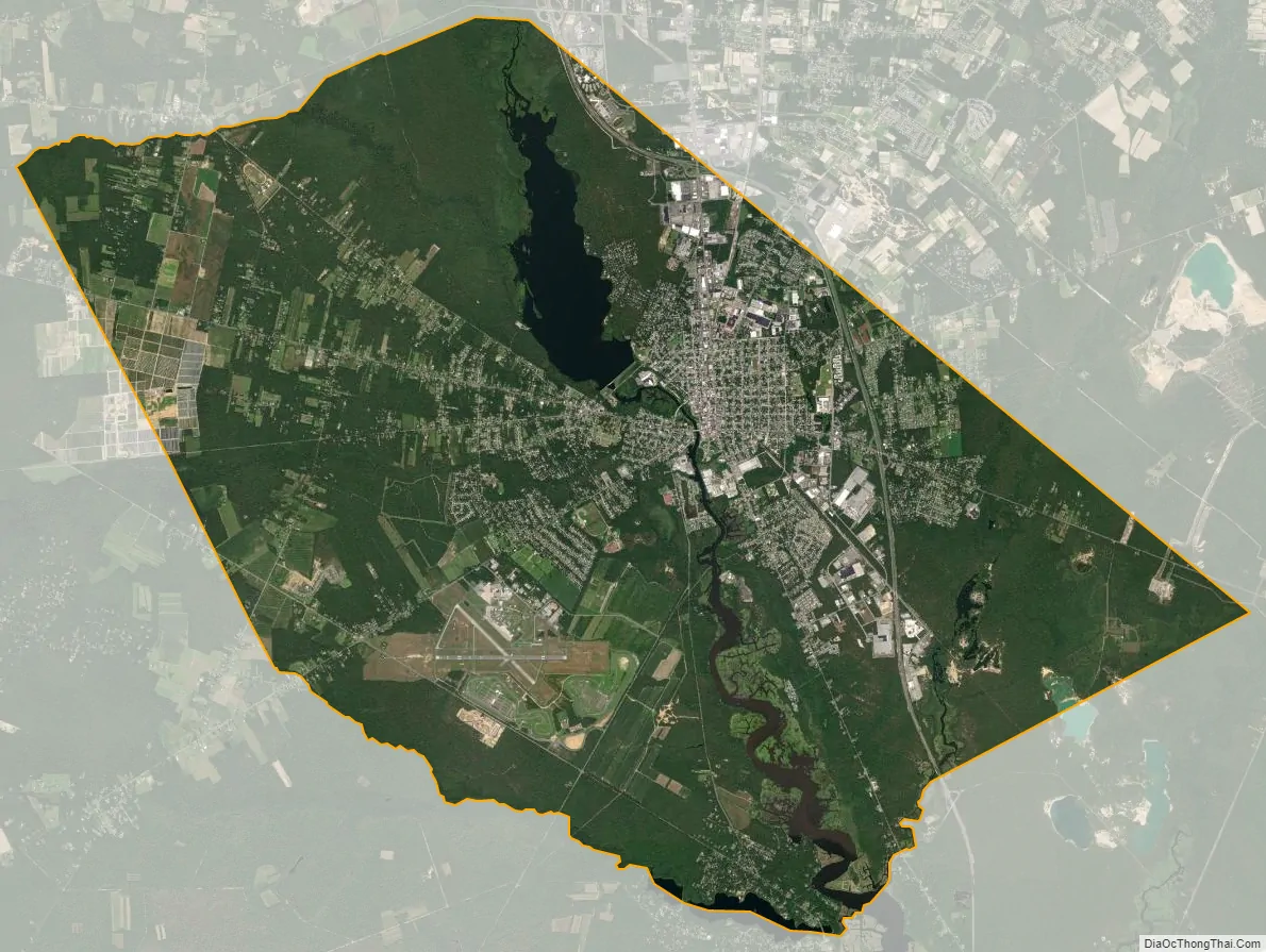
Millville city Satellite Map
Geography
According to the U.S. Census Bureau, the city had a total area of 44.50 square miles (115.25 km), including 42.00 square miles (108.78 km) of land and 2.50 square miles (6.47 km) of water (5.62%). Unincorporated communities, localities and place names located partially or completely within the city include Clarks Mill, Farmingdale, Manatico, North Newark and Union Lake.
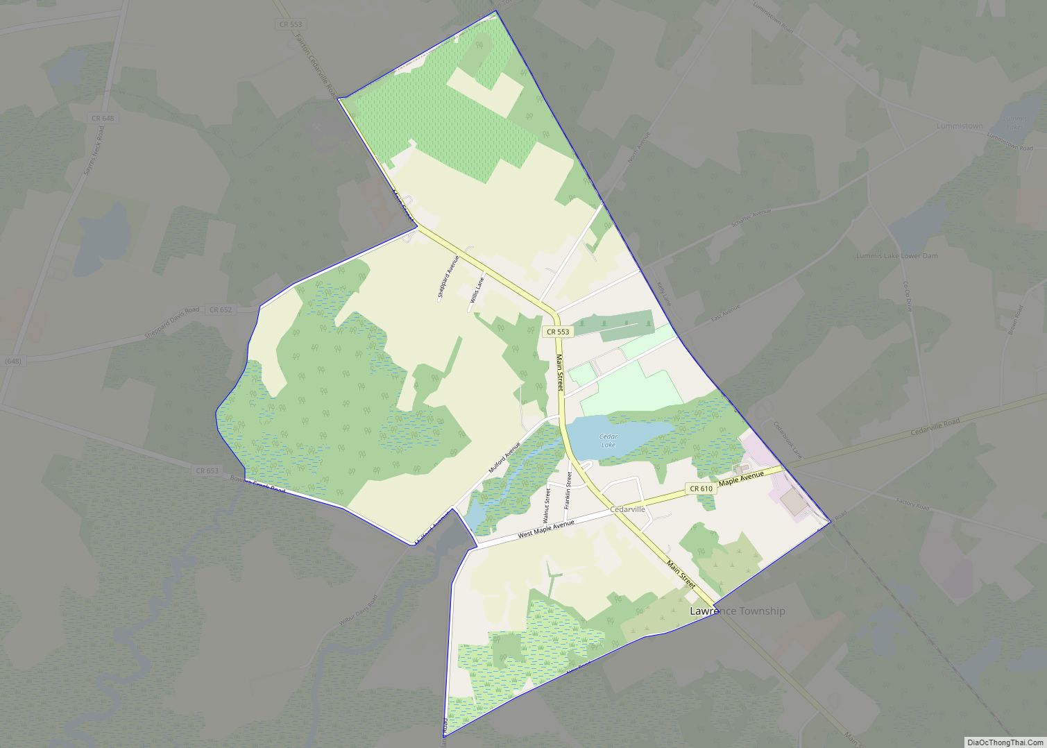
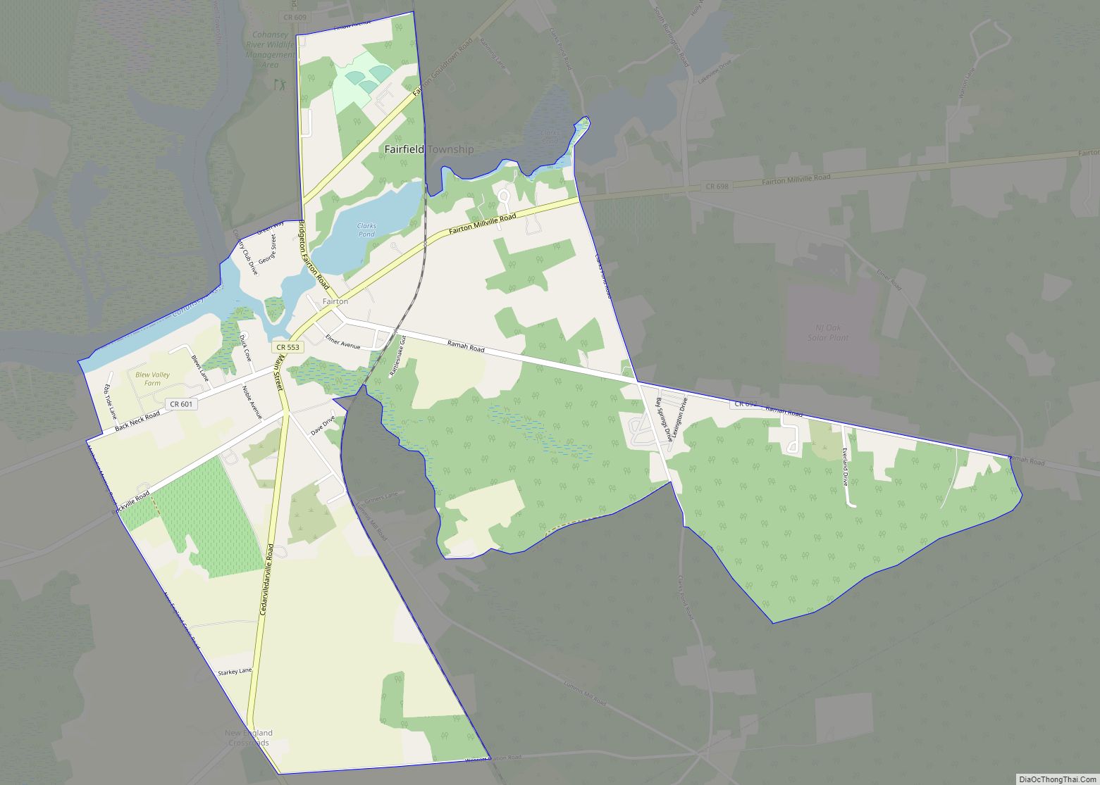
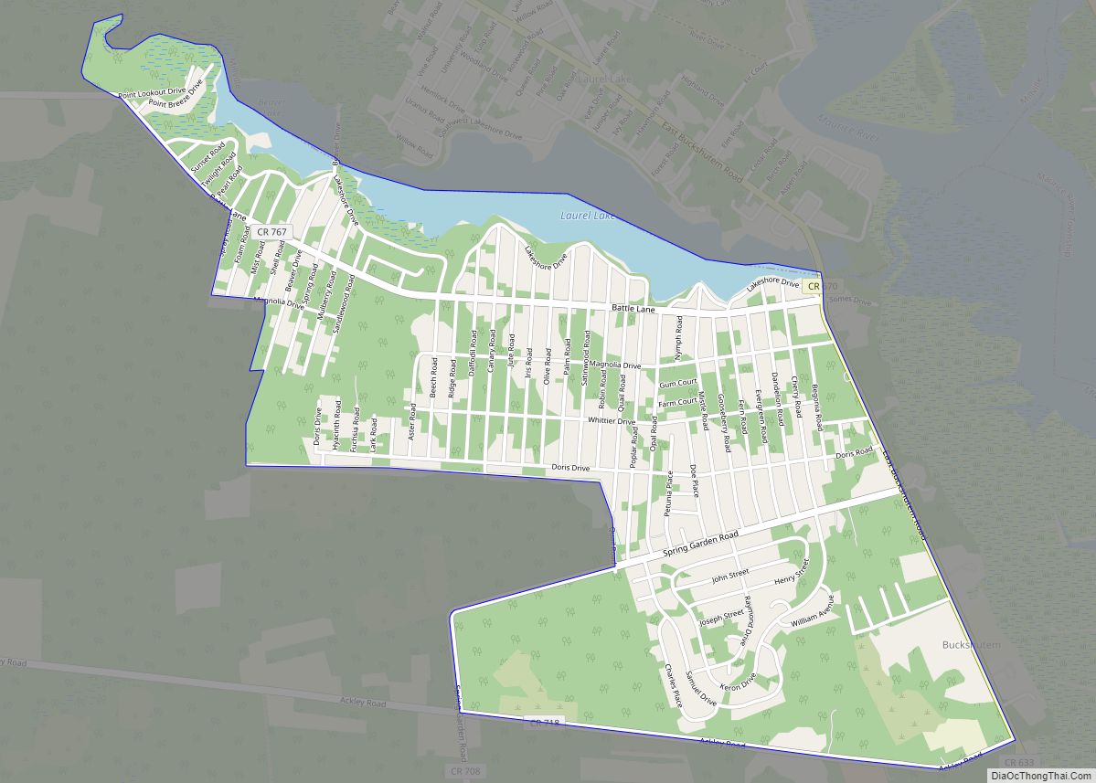
The city borders the Cumberland County municipalities of Commercial Township, Deerfield Township, Downe Township, Fairfield Township, Lawrence Township, Maurice River Township and Vineland.
Millville lies between the southern termini of the New Jersey Turnpike, the Garden State Parkway, Route 55 (which runs through the northeastern portion of the city) and the Atlantic City Expressway.
Climate
The city has a humid subtropical climate (Cfa) and the hardiness zone is 7a bordering 6b.
See also
Map of New Jersey State and its subdivision: Map of other states:- Alabama
- Alaska
- Arizona
- Arkansas
- California
- Colorado
- Connecticut
- Delaware
- District of Columbia
- Florida
- Georgia
- Hawaii
- Idaho
- Illinois
- Indiana
- Iowa
- Kansas
- Kentucky
- Louisiana
- Maine
- Maryland
- Massachusetts
- Michigan
- Minnesota
- Mississippi
- Missouri
- Montana
- Nebraska
- Nevada
- New Hampshire
- New Jersey
- New Mexico
- New York
- North Carolina
- North Dakota
- Ohio
- Oklahoma
- Oregon
- Pennsylvania
- Rhode Island
- South Carolina
- South Dakota
- Tennessee
- Texas
- Utah
- Vermont
- Virginia
- Washington
- West Virginia
- Wisconsin
- Wyoming