Vineland is a city in Cumberland County, in the U.S. state of New Jersey. Bridgeton and Vineland are the two principal cities of the Vineland-Bridgeton metropolitan statistical area, which encompasses those cities and all of Cumberland County for statistical purposes and which constitutes a part of the Delaware Valley (the Philadelphia metro area). The MSA had a population of 156,898 as of the 2010 census. As of the 2020 United States census, the city’s population was 60,780, an increase of 56 (+0.1%) from the 2010 census count of 60,724, which in turn reflected an increase of 4,453 (+7.9%) from the 56,271 counted in the 2000 census. The Census Bureau’s Population Estimates Program calculated that the city’s population was 61,156 in 2021, ranking the city the 630th-most-populous in the country.
Vineland was formed on July 1, 1952, through the merger of Landis Township and Vineland Borough, based on the results of a referendum held on February 5, 1952. Festivities on July 1, 1952, when the merger took effect, included a parade and speeches from such notables as Senator Estes Kefauver. The name is derived from the plans of its founder to use the land to grow grapes.
Geographically, the city is part of the South Jersey. It has large Italian-American and Hispanic-American populations.
| Name: | Vineland city |
|---|---|
| LSAD Code: | 25 |
| LSAD Description: | city (suffix) |
| State: | New Jersey |
| County: | Cumberland County |
| Incorporated: | February 5, 1952 |
| Elevation: | 98 ft (30 m) |
| Total Area: | 68.99 sq mi (178.68 km²) |
| Land Area: | 68.40 sq mi (177.16 km²) |
| Water Area: | 0.59 sq mi (1.52 km²) 0.86% |
| Total Population: | 60,780 |
| Population Density: | 888.7/sq mi (343.1/km²) |
| Area code: | 856 |
| FIPS code: | 3476070 |
| GNISfeature ID: | 0885428 |
| Website: | www.vinelandcity.org |
Online Interactive Map
Click on ![]() to view map in "full screen" mode.
to view map in "full screen" mode.
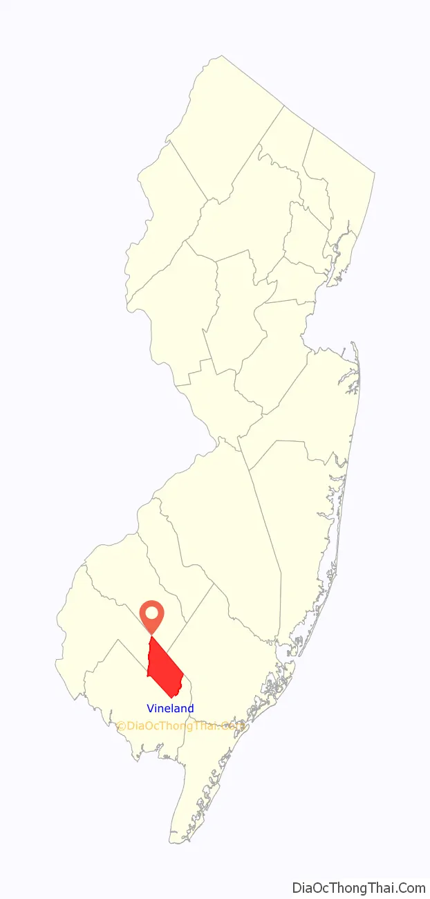
Vineland location map. Where is Vineland city?

History
Charles K. Landis purchased 30,000 acres (121 km) of land in 1861 and another 23,000 acres (93 km) in 1874, near Millville, and along the West Jersey railroad line with service between Camden and Cape May, to create his own alcohol-free utopian society based on agriculture and progressive thinking. The first houses were built in 1862, and train service was established to Philadelphia and New York City, with the population reaching 5,500 by 1865 and 11,000 by 1875.
Vineland was an early temperance town, where the sale of alcohol was prohibited. Landis required that buyers of land in Vineland build a house on the purchased property within a year of acquisition, that 2+1⁄2 acres (10,000 m) of the often heavily wooded land be cleared and farmed each year, and that adequate space be placed between houses and roads to allow for planting of flowers and shade trees along the routes through town. Landis Avenue was constructed as a 100-foot (30 m) wide and about 1-mile (2 km) long road running east–west through the center of the community, with other, narrower roads connecting at right angles to each other.
After determining that the Vineland soil was well-suited for growing grapes (hence the name), Landis started advertising to attract Italian grape growers to Vineland, offering 20 acres (81,000 m) of land that had to be cleared and used to grow grapes. Thomas Bramwell Welch founded Welch’s Grape Juice, and purchased the locally grown grapes to make “unfermented wine” (i.e. grape juice). The fertile ground also attracted the glass-making industry and was home to the Progresso soup company. Throughout the first half of the 20th century, most of the city was involved in the poultry industry, which led to the city being dubbed “The Egg Basket of America.”
Vineland Poultry Laboratories was started by Arthur Goldhaft. Dr. Goldhaft is credited with putting “a chicken in every pot” after developing the fowl pox chicken vaccine that saved millions of chickens from death. Dr. Goldhaft’s work at Vineland Poultry Laboratories in Vineland helped protect the world’s chicken supply from the fowl pox disease. Operations at the facility were closed by Lohmann Animal Health in 2007.
Vineland had New Jersey’s first school for the intellectually disabled, the Vineland Developmental Center, which now has an east and west campus. These institutions housed mentally handicapped women in fully staffed cottages. Henry H. Goddard, an American psychologist, coined the term “Moron” while directing the Research Laboratory at the Training School for Backward and Feeble-minded Children in Vineland. This facility was so sufficiently well known that one American Prison Association pamphlet in 1955 heralded Vineland as “famous for its contributions to our knowledge of the feebleminded”.
Vineland celebrated its 150th birthday in 2011. Mayor Robert Romano initially ordered a custom cake from Buddy Valastro of Carlo’s Bake Shop in Hoboken; the business is featured in the TLC reality television series Cake Boss. After outcry from local business owners, the order was canceled and five Vineland bakeries donated elaborate cakes for the event as well as over 1,000 servings of cake for the celebration.
Since the 1970s, the city has had an annual dandelion festival. Brought to the area by early Italian immigrants, the plant is grown as a crop by farms in Vineland.
Barbara Kingsolver’s 2018 novel Unsheltered is set in Vineland.
Vineland Road Map
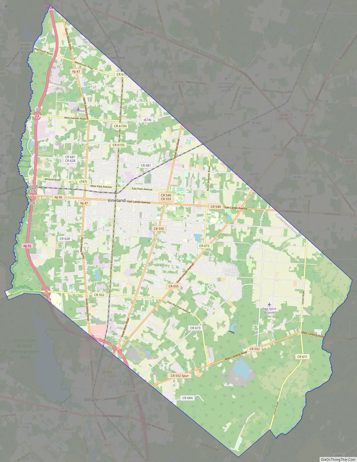
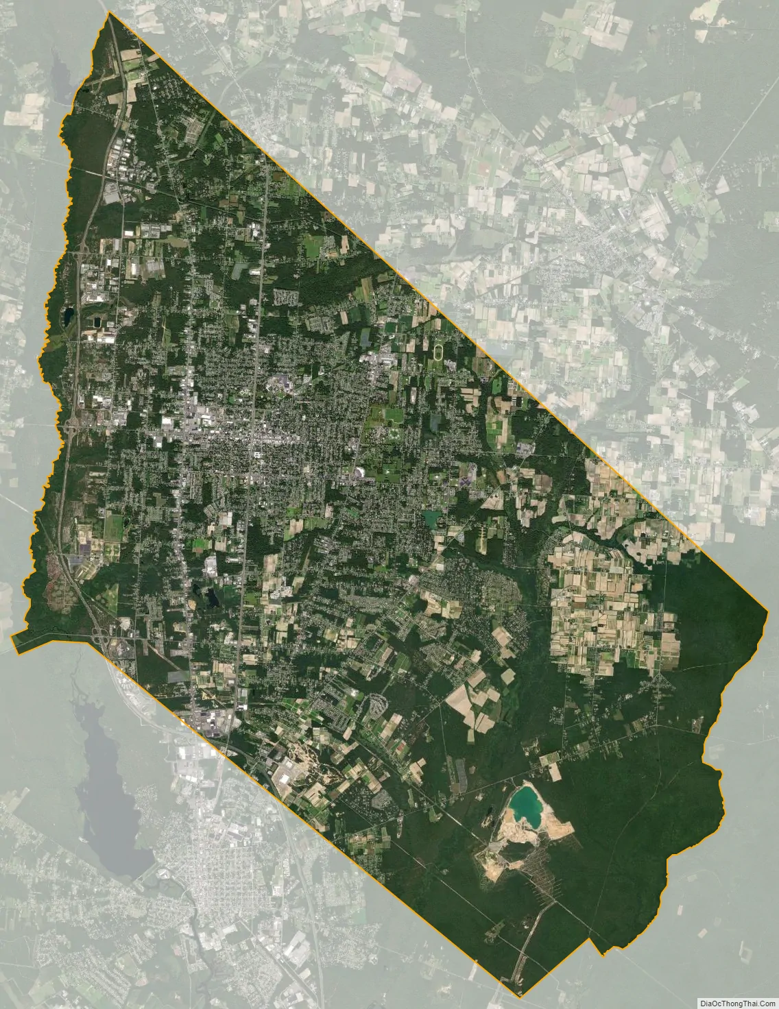
Vineland city Satellite Map
Geography
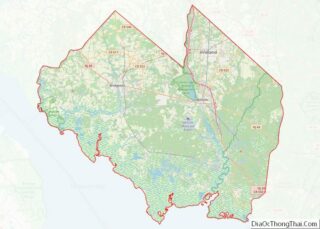
According to the U.S. Census Bureau, the city had a total area of 68.99 square miles (178.68 km), including 68.39 square miles (177.14 km) of land and 0.60 square miles (1.54 km) of water (0.86%). Of all the municipalities in New Jersey to hold the type of City, Vineland is the largest in total area. (Hamilton Township in Atlantic County is the largest municipality in New Jersey in terms of land area. Galloway Township, also in Atlantic County, is the largest municipality in total area, including open water within its borders.)
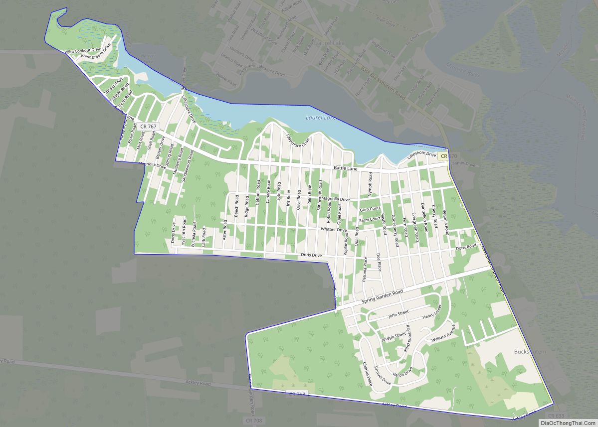
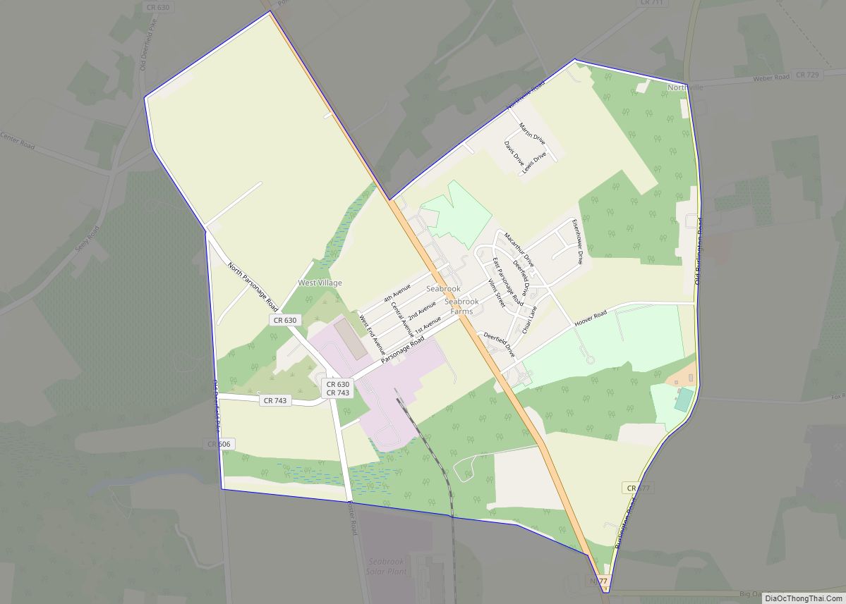
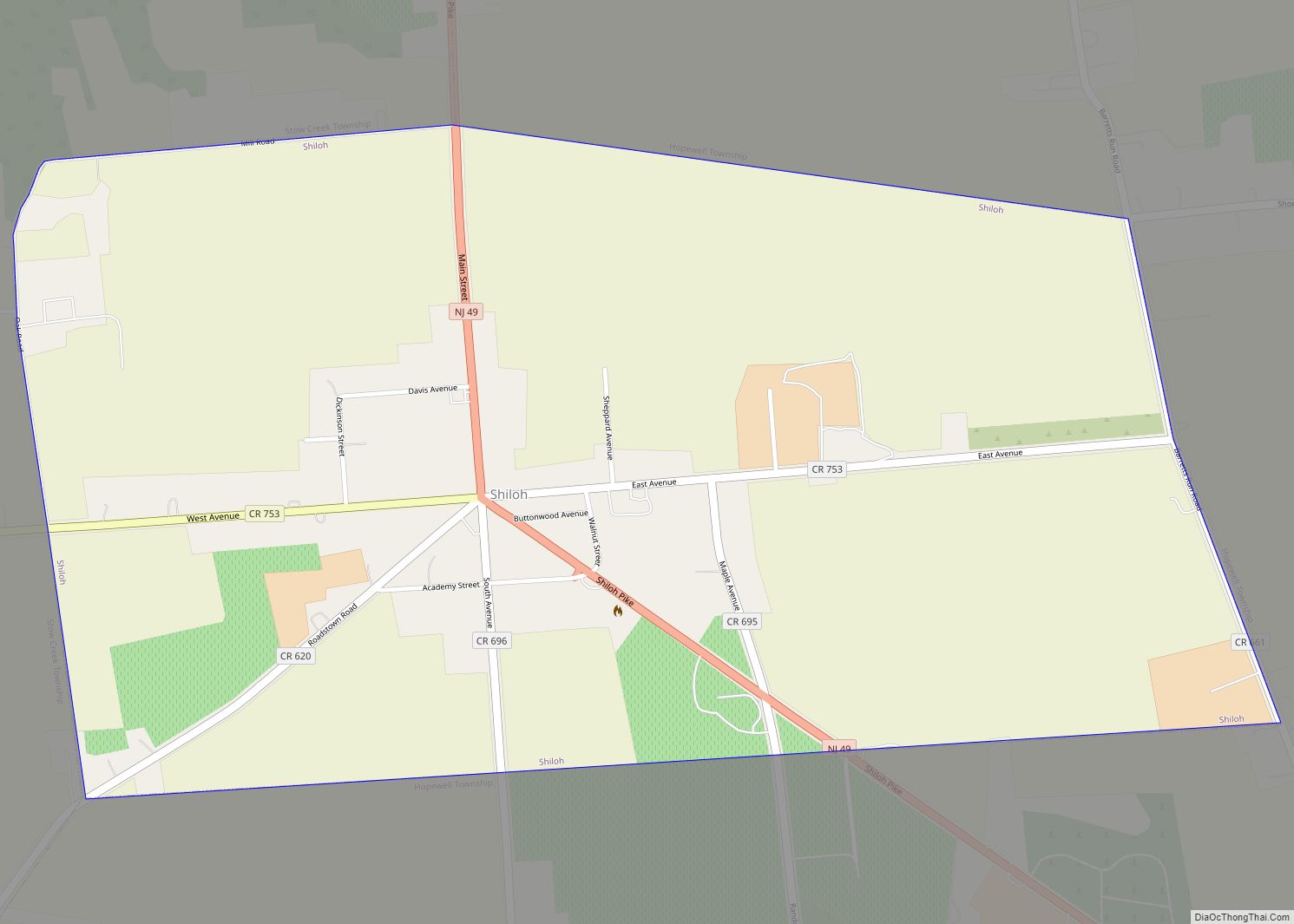
Unincorporated communities, localities and place names located partially or completely within the city include Clayville, Hances Bridge, Leamings Mill, Menantico, North Vineland, Parvins Branch, South Vineland, Willow Grove and Pleasantville. That last community (adjacent to Newfield Boro) is not to be confused with the City of Pleasantville in Atlantic County.
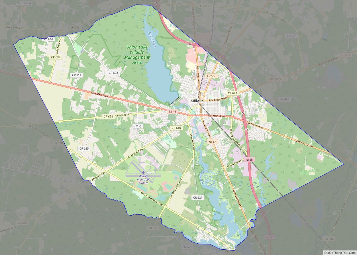
Vineland borders the municipalities of Deerfield Township, Millville, and Maurice River Township in Cumberland County; Buena and Buena Vista Township in Atlantic County; Franklin Township and Newfield Boro in Gloucester County; and Pittsgrove Township in Salem County. The city is approximately 38 miles (61 km) from the Atlantic Ocean.
See also
Map of New Jersey State and its subdivision: Map of other states:- Alabama
- Alaska
- Arizona
- Arkansas
- California
- Colorado
- Connecticut
- Delaware
- District of Columbia
- Florida
- Georgia
- Hawaii
- Idaho
- Illinois
- Indiana
- Iowa
- Kansas
- Kentucky
- Louisiana
- Maine
- Maryland
- Massachusetts
- Michigan
- Minnesota
- Mississippi
- Missouri
- Montana
- Nebraska
- Nevada
- New Hampshire
- New Jersey
- New Mexico
- New York
- North Carolina
- North Dakota
- Ohio
- Oklahoma
- Oregon
- Pennsylvania
- Rhode Island
- South Carolina
- South Dakota
- Tennessee
- Texas
- Utah
- Vermont
- Virginia
- Washington
- West Virginia
- Wisconsin
- Wyoming