Mystic Island (also called Mystic Islands or Mystic) is an unincorporated community and census-designated place (CDP) located within Little Egg Harbor Township, in Ocean County, New Jersey, United States. As of the 2010 United States Census, the CDP’s population was 8,493.
Mystic Island is a large, mostly waterfront development originally planned as a resort community that started in the early 1960s as a waterfront community with vacation bungalows. In the past few years, however, many of the original bungalows are slowly being replaced with much larger homes on pilings that are popular in nearby beach communities such as Long Beach Island.
| Name: | Mystic Island CDP |
|---|---|
| LSAD Code: | 57 |
| LSAD Description: | CDP (suffix) |
| State: | New Jersey |
| County: | Ocean County |
| Elevation: | 3 ft (1 m) |
| Total Area: | 7.71 sq mi (19.96 km²) |
| Land Area: | 6.92 sq mi (17.93 km²) |
| Water Area: | 0.78 sq mi (2.03 km²) 10.08% |
| Total Population: | 8,301 |
| Population Density: | 1,199.39/sq mi (463.08/km²) |
| FIPS code: | 3449560 |
| GNISfeature ID: | 02389525 |
Online Interactive Map
Click on ![]() to view map in "full screen" mode.
to view map in "full screen" mode.
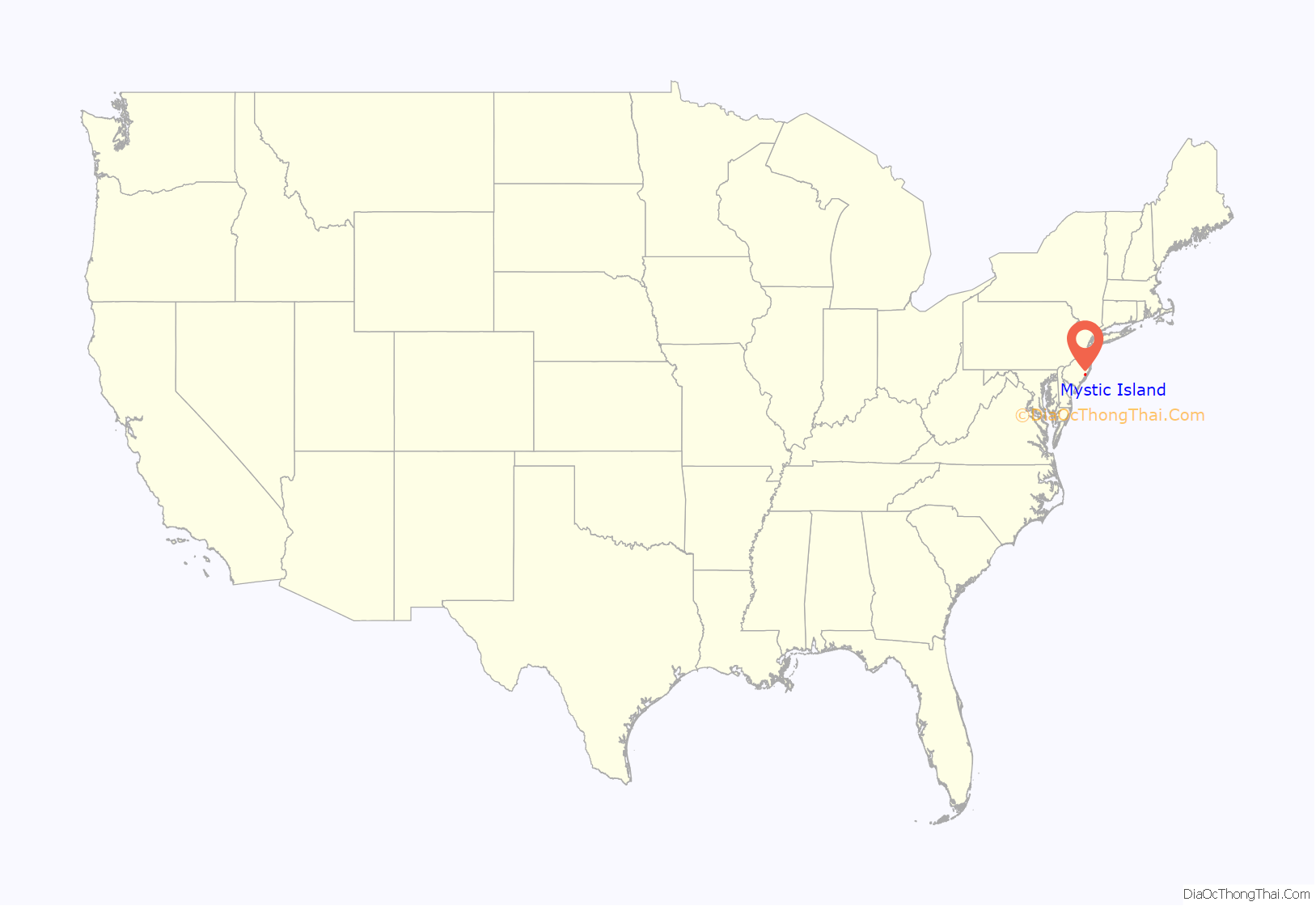
Mystic Island location map. Where is Mystic Island CDP?
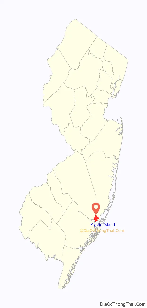
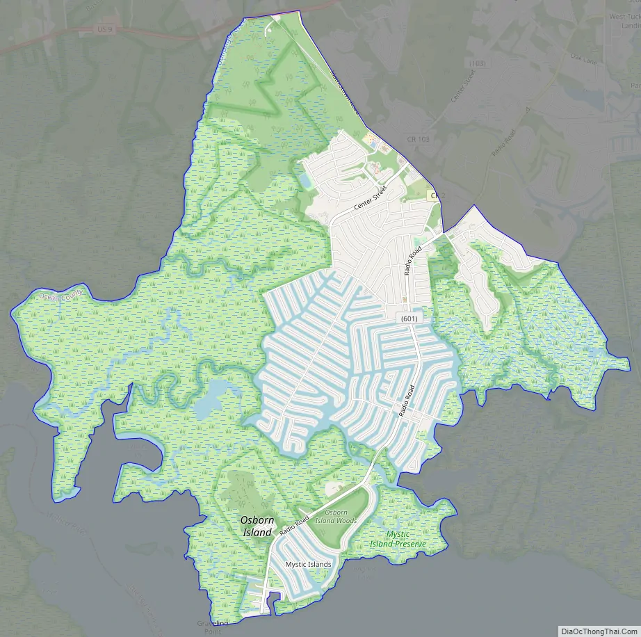
Mystic Island Road Map
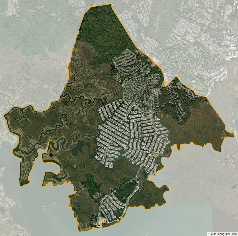
Mystic Island city Satellite Map
Geography
According to the United States Census Bureau, Mystic Island had a total area of 7.701 square miles (19.945 km), including 6.925 square miles (17.935 km) of land and 0.776 square miles (2.010 km) of water (10.08%).
See also
Map of New Jersey State and its subdivision: Map of other states:- Alabama
- Alaska
- Arizona
- Arkansas
- California
- Colorado
- Connecticut
- Delaware
- District of Columbia
- Florida
- Georgia
- Hawaii
- Idaho
- Illinois
- Indiana
- Iowa
- Kansas
- Kentucky
- Louisiana
- Maine
- Maryland
- Massachusetts
- Michigan
- Minnesota
- Mississippi
- Missouri
- Montana
- Nebraska
- Nevada
- New Hampshire
- New Jersey
- New Mexico
- New York
- North Carolina
- North Dakota
- Ohio
- Oklahoma
- Oregon
- Pennsylvania
- Rhode Island
- South Carolina
- South Dakota
- Tennessee
- Texas
- Utah
- Vermont
- Virginia
- Washington
- West Virginia
- Wisconsin
- Wyoming


