Netcong is a borough in Morris County, in the U.S. state of New Jersey. As of the 2020 United States census, the borough’s population was 3,375, an increase of 143 (+4.4%) from the 2010 census count of 3,232, which in turn reflected an increase of 652 (+25.3%) from the 2,580 counted at the 2000 census. Netcong lies on the shores of Lake Musconetcong.
Established as South Stanhope by workers employed as miners in Stanhope, the name “Netcong” was adopted for the community in 1889 when a post office used the name. Netcong was incorporated as a borough by an act of the New Jersey Legislature on October 23, 1894, from portions of both Mount Olive Township and Roxbury Township, based on the results of a referendum held the previous day.
| Name: | Netcong borough |
|---|---|
| LSAD Code: | 21 |
| LSAD Description: | borough (suffix) |
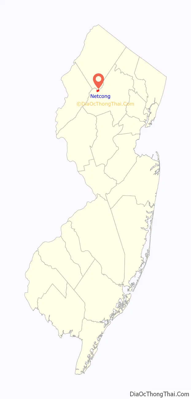
| State: | New Jersey |
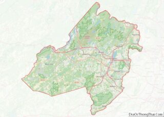
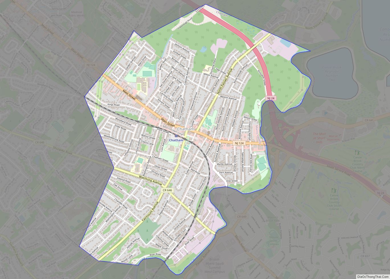
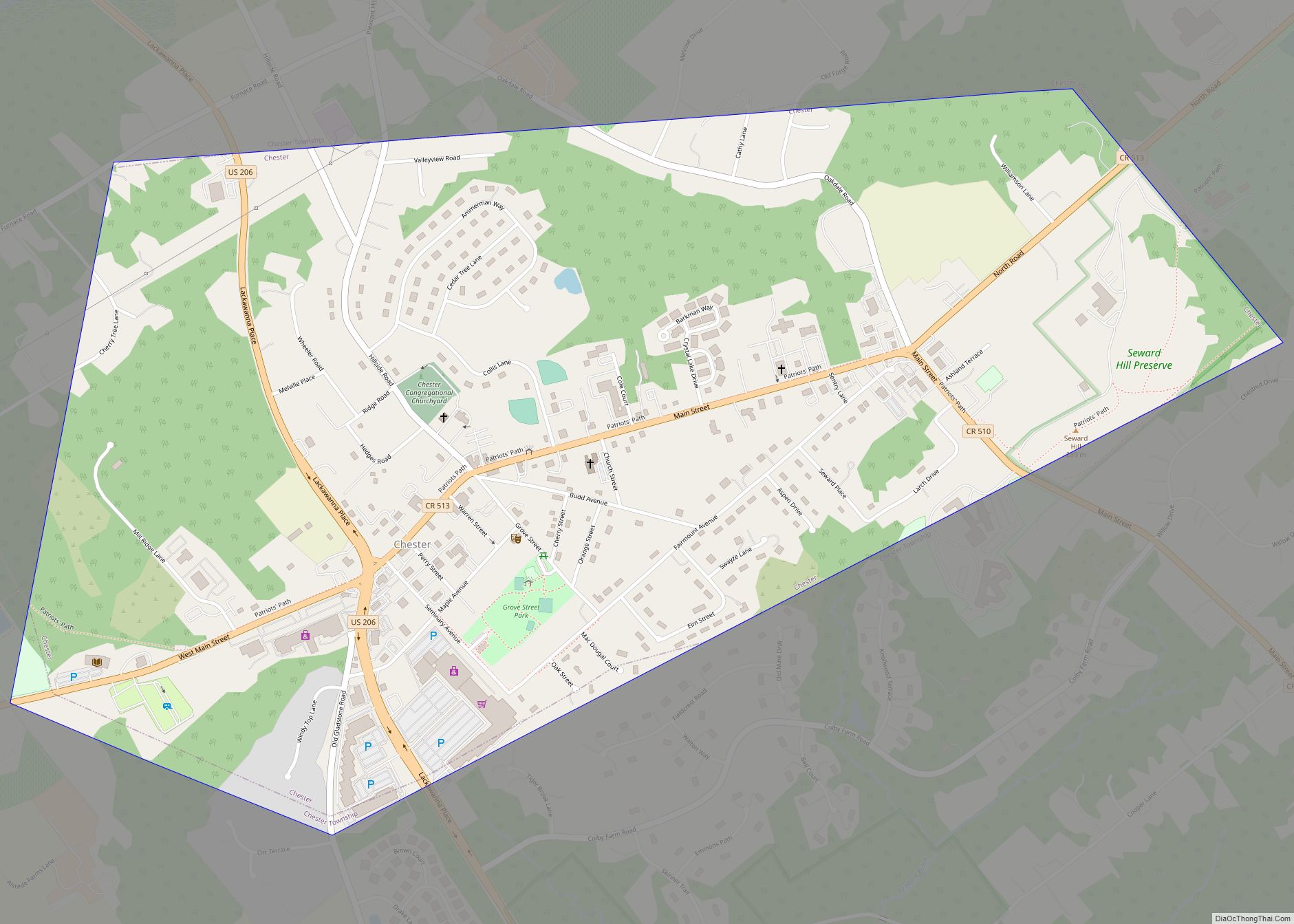
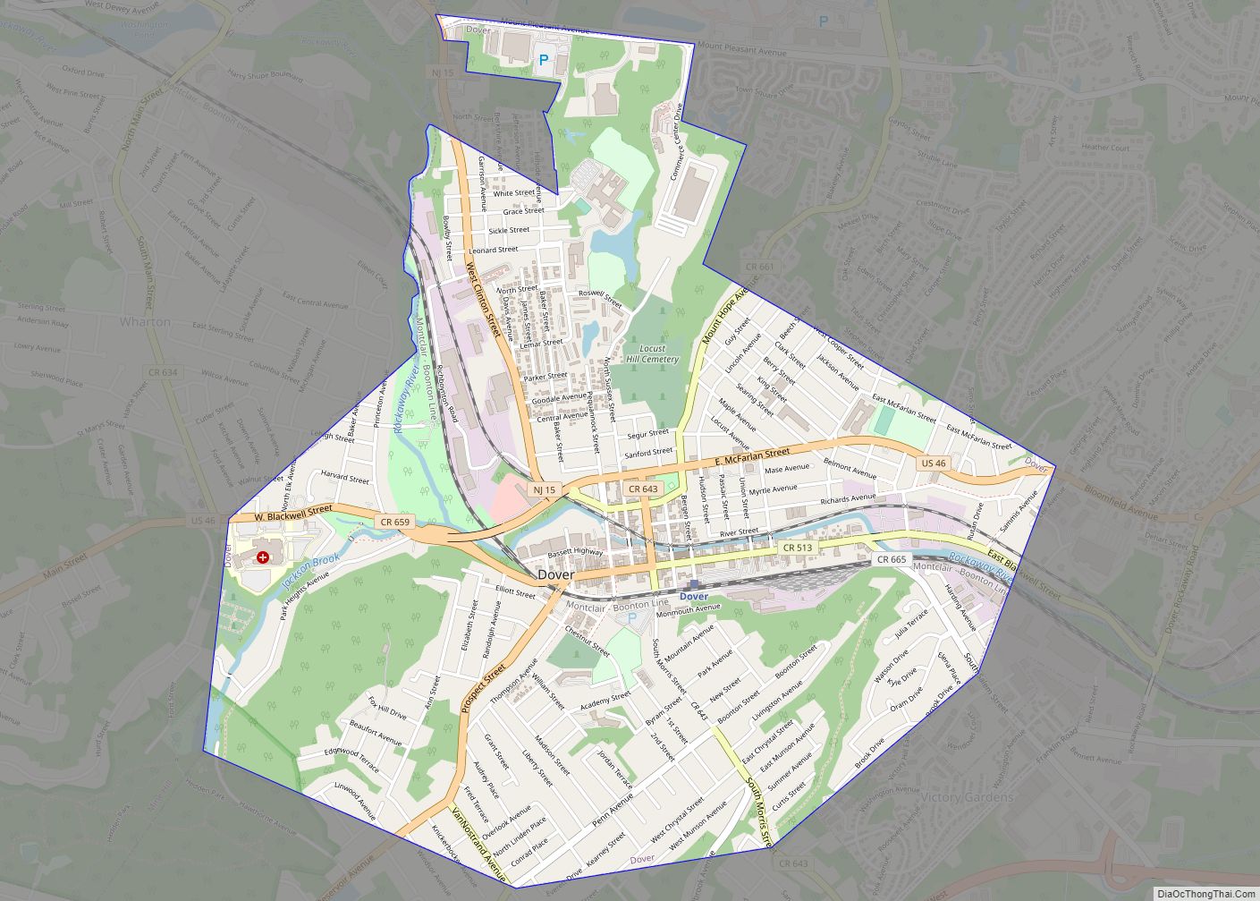
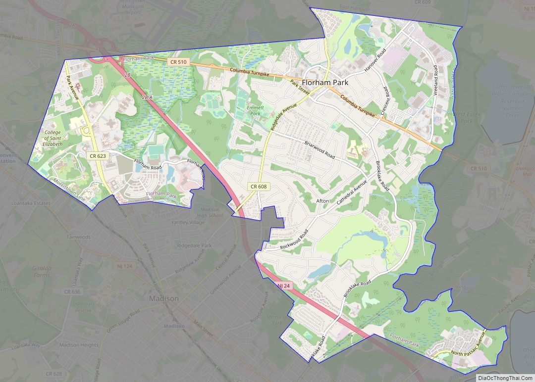
| County: | Morris County |
| Incorporated: | October 23, 1894 |
| Elevation: | 906 ft (276 m) |
| Total Area: | 0.96 sq mi (2.48 km²) |
| Land Area: | 0.83 sq mi (2.15 km²) |
| Water Area: | 0.12 sq mi (0.32 km²) 13.33% |
| Total Population: | 3,375 |
| Population Density: | 4,053.1/sq mi (1,564.9/km²) |
| ZIP code: | 07857 |
| Area code: | 973 |
| FIPS code: | 3450130 |
| GNISfeature ID: | 0885316 |
| Website: | www.netcong.org |
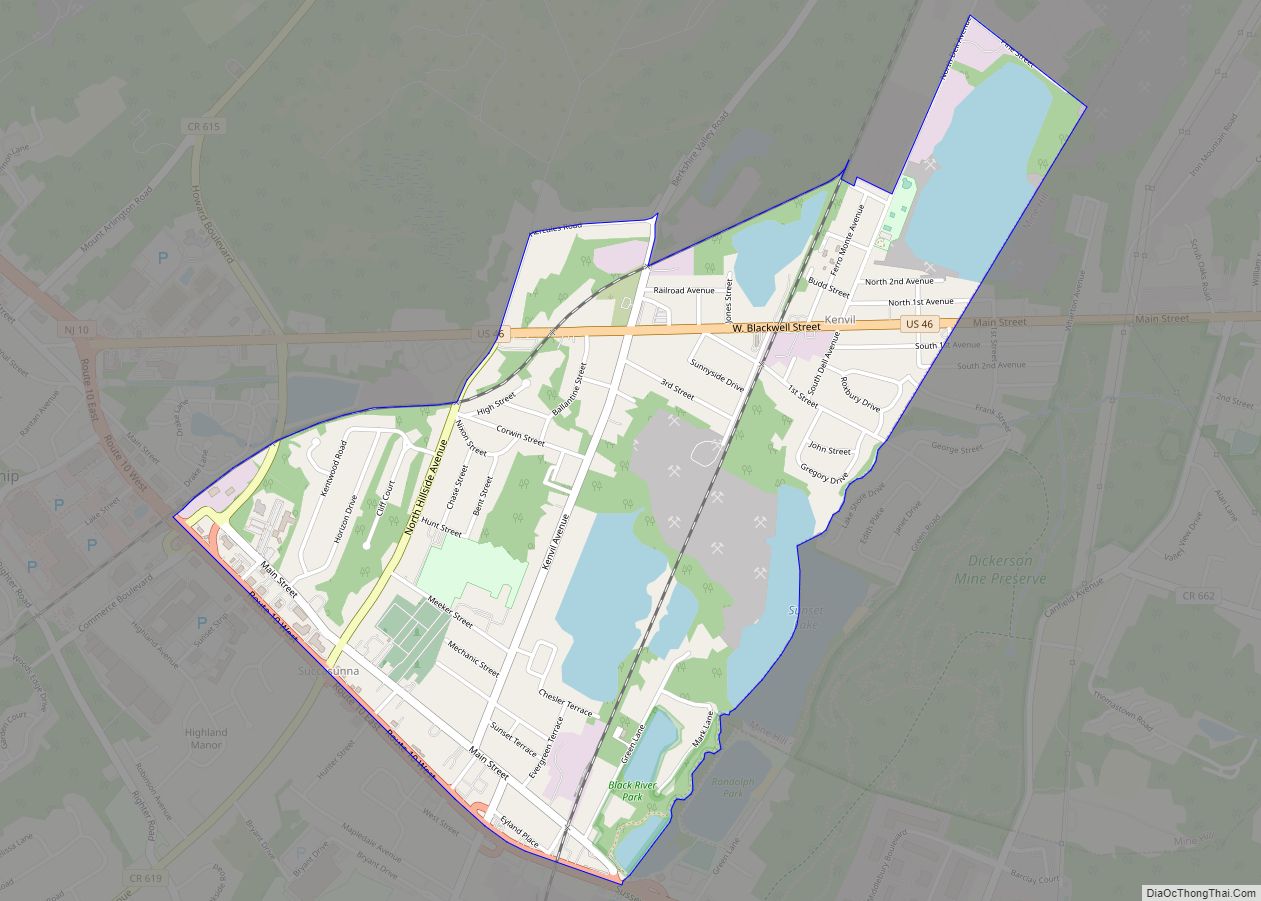
Online Interactive Map
Click on ![]() to view map in "full screen" mode.
to view map in "full screen" mode.
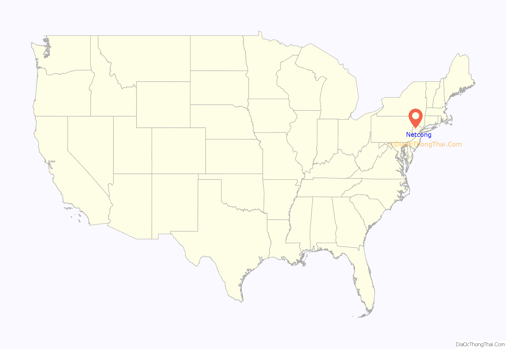
Netcong location map. Where is Netcong borough?
History
Netcong received its name from the Musconetcong River, named by the Lenape Native Americans and meaning “grass creek”, “swamp stream”, “rapid stream” or “clear stream place”. Along with the river, the proximity of the old Morris and Sussex Turnpike, which passed through the region shortly after 1801, and the coming of the Morris Canal, in 1831, made the site a favorable one for development.
After becoming a borough, the residents had to elect the first governing body. The first mayor was Abraham J. Drake, elected November 14, 1894. A census of Netcong taken July 1895 showed a population of 877 people.
Netcong derived much of its business from the Delaware, Lackawanna and Western Railroad, which had its last stop in Morris County in the heart of the borough. The DL&W’s Sussex Branch to Branchville also stopped at Netcong Station, with the Sussex Branch coming into the opposite side of the station from where NJ Transit’s line is today. The big railroad roundhouse in Port Morris also supplied many jobs for the town residents.
In 1968, AT&T announced that the company would be building a two-story building in the borough at the bottom of a hole 47 feet (14 m) underground. The facility, designed to connect a cable running between Boston and Miami, was designed to withstand a nuclear attack and continue 24-hour operations for as long as three weeks using supplies and generating capacity on the site.
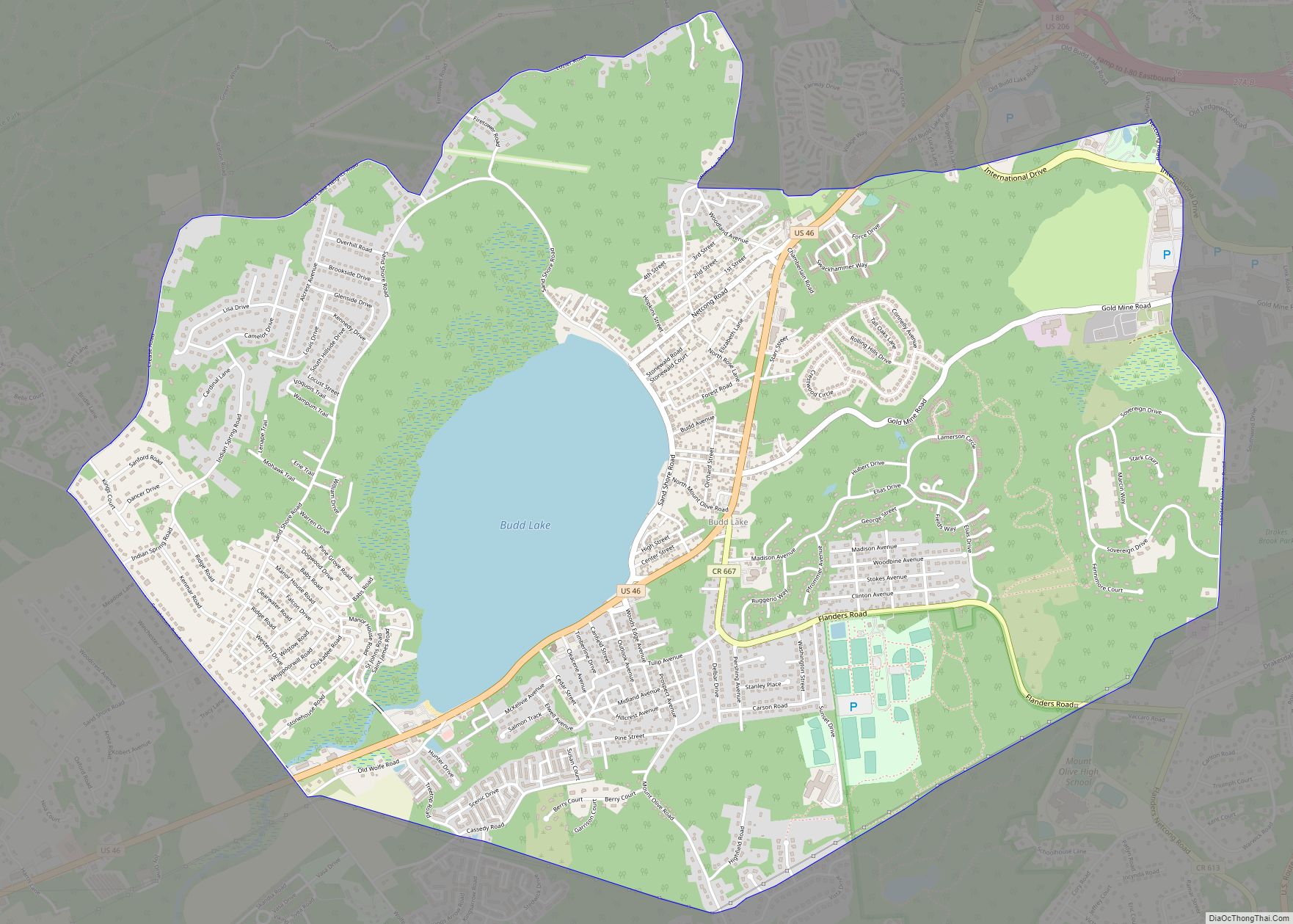
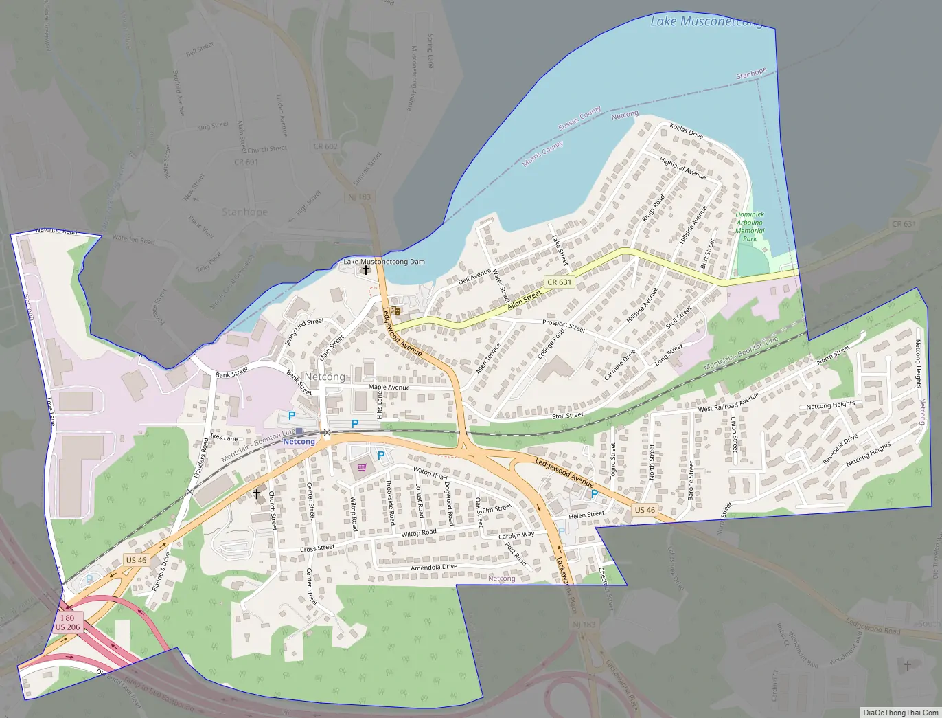
Netcong Road Map
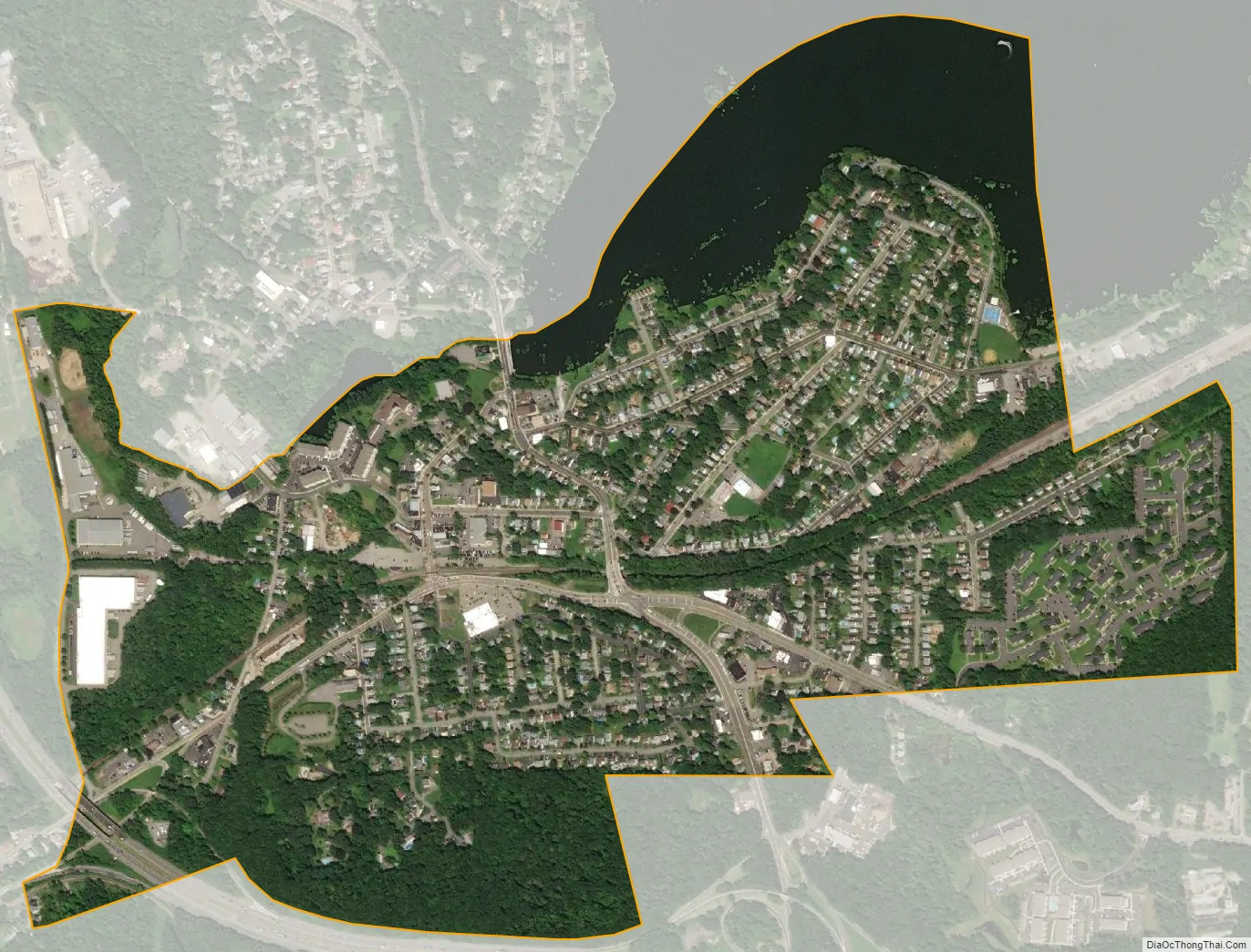
Netcong city Satellite Map
Geography
According to the United States Census Bureau, the borough had a total area of 0.96 square miles (2.49 km), including 0.83 square miles (2.16 km) of land and 0.13 square miles (0.33 km) of water (13.33%).
Netcong borders the municipalities of Mount Olive Township and Roxbury Township in Morris County; and Stanhope in Sussex County.
See also
Map of New Jersey State and its subdivision: Map of other states:- Alabama
- Alaska
- Arizona
- Arkansas
- California
- Colorado
- Connecticut
- Delaware
- District of Columbia
- Florida
- Georgia
- Hawaii
- Idaho
- Illinois
- Indiana
- Iowa
- Kansas
- Kentucky
- Louisiana
- Maine
- Maryland
- Massachusetts
- Michigan
- Minnesota
- Mississippi
- Missouri
- Montana
- Nebraska
- Nevada
- New Hampshire
- New Jersey
- New Mexico
- New York
- North Carolina
- North Dakota
- Ohio
- Oklahoma
- Oregon
- Pennsylvania
- Rhode Island
- South Carolina
- South Dakota
- Tennessee
- Texas
- Utah
- Vermont
- Virginia
- Washington
- West Virginia
- Wisconsin
- Wyoming