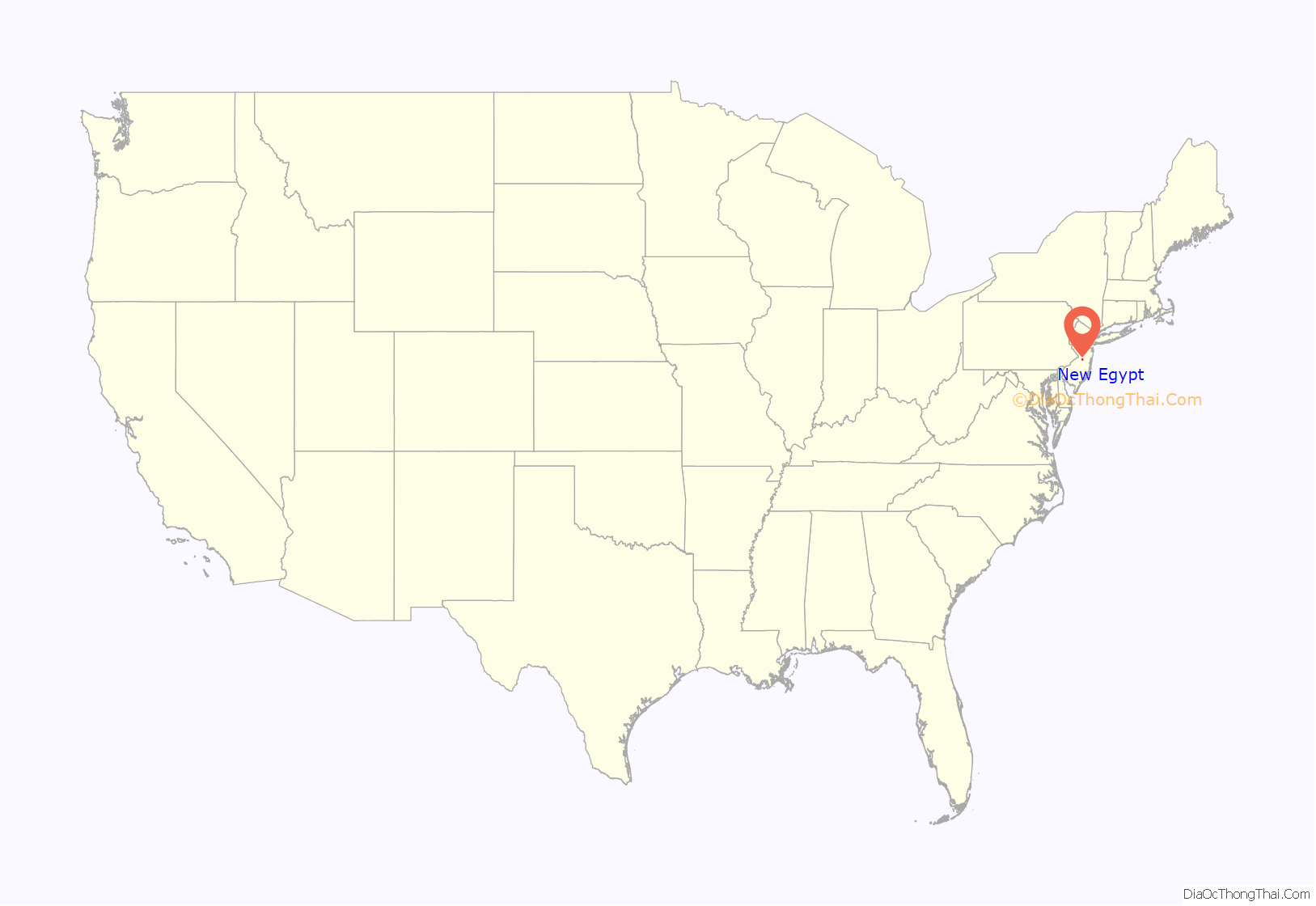
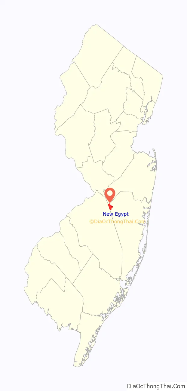
New Egypt is an unincorporated community and census-designated place (CDP) located within Plumsted Township, in Ocean County, in the U.S. state of New Jersey. As of the 2010 United States Census, the CDP’s population was 2,512. The community is located at the trijunction of Burlington County, Monmouth County and Ocean counties.
| Name: | New Egypt CDP |
|---|---|
| LSAD Code: | 57 |
| LSAD Description: | CDP (suffix) |
| State: | New Jersey |
| County: | Ocean County |
| Elevation: | 82 ft (25 m) |
| Total Area: | 4.03 sq mi (10.42 km²) |
| Land Area: | 3.97 sq mi (10.28 km²) |
| Water Area: | 0.06 sq mi (0.14 km²) 1.38% |
| Total Population: | 2,357 |
| Population Density: | 593.70/sq mi (229.23/km²) |
| ZIP code: | 08533 |
| Area code: | 609 |
| FIPS code: | 3451360 |
| GNISfeature ID: | 2389541 |
Online Interactive Map
Click on ![]() to view map in "full screen" mode.
to view map in "full screen" mode.
New Egypt location map. Where is New Egypt CDP?
History
There are several explanations for how New Egypt received its name. One possibility is it was a reference by George Washington in December 1776 after the victory at the Battle of Trenton. Joseph Curtis, Washington’s secretary, was sent to the town to retrieve grain for the army, and upon his return from the area, Washington exclaimed, “Joseph has been to Egypt and gotten the corn.” Having added ‘New’ sometime around 1845. Other references have that the town was originally given the name “Egypt” in 1793 and “New Egypt” in 1801, the name is believed to be a biblical allusion about “going to Egypt for corn” that was plentiful in the area.
Around 1890, the area was once known as Timmins Mill, a reference to the mill owner who owned most of the land in the area.
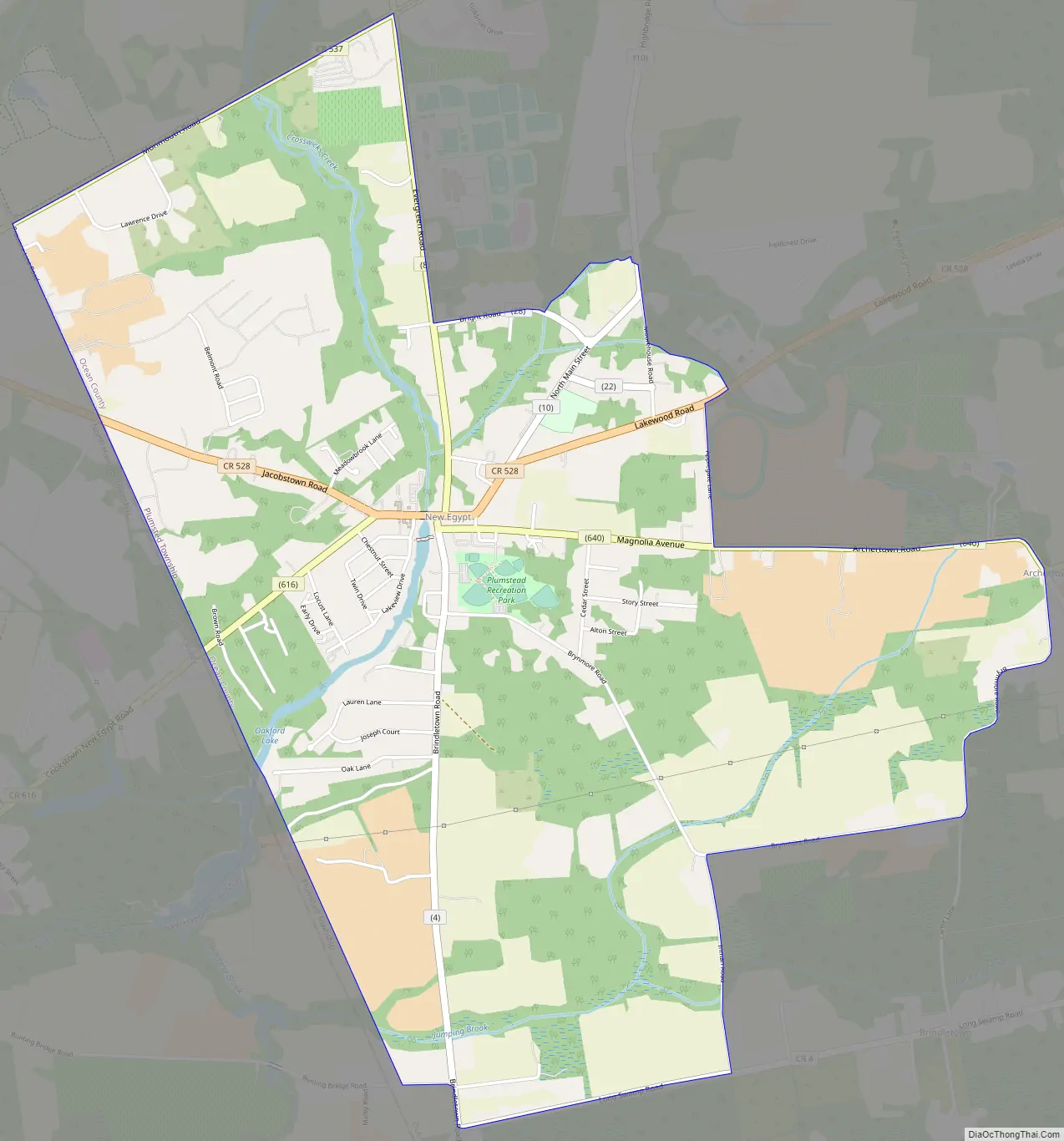
New Egypt Road Map
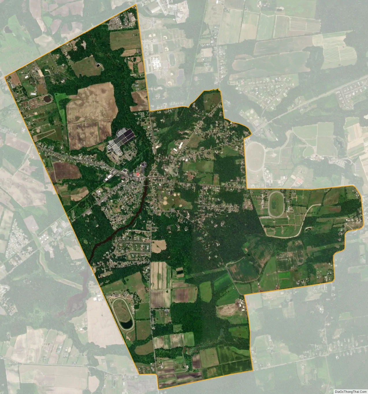
New Egypt city Satellite Map
Geography
According to the United States Census Bureau, the CDP had a total area of 4.071 square miles (10.543 km), including 4.015 square miles (10.398 km) is land and 0.056 square mile (0.145 km) of water (1.38%).
Author Henry Charlton Beck gave Timmins Mill the distinction of the approximate geographical center of New Jersey. Upon reading the estimate by Beck, a Christmas tree farmer used their own methods to approximate the geographic center of New Jersey to be on their farm. They have since placed a marker on the location they determined as the geographic center of New Jersey (Coordinates 40° 05’02” N Latitude 74° 32’ 01” W longitude). The marker is on their farm located across the street from the New Egypt High School.
See also
Map of New Jersey State and its subdivision: Map of other states:- Alabama
- Alaska
- Arizona
- Arkansas
- California
- Colorado
- Connecticut
- Delaware
- District of Columbia
- Florida
- Georgia
- Hawaii
- Idaho
- Illinois
- Indiana
- Iowa
- Kansas
- Kentucky
- Louisiana
- Maine
- Maryland
- Massachusetts
- Michigan
- Minnesota
- Mississippi
- Missouri
- Montana
- Nebraska
- Nevada
- New Hampshire
- New Jersey
- New Mexico
- New York
- North Carolina
- North Dakota
- Ohio
- Oklahoma
- Oregon
- Pennsylvania
- Rhode Island
- South Carolina
- South Dakota
- Tennessee
- Texas
- Utah
- Vermont
- Virginia
- Washington
- West Virginia
- Wisconsin
- Wyoming


