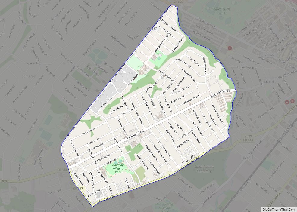
North Plainfield is a borough in Somerset County, in the U.S. state of New Jersey. It is located within the Raritan Valley region. As of the 2020 United States census, the borough’s population was 22,808, an increase of 872 (+4.0%) from the 2010 census count of 21,936, which in turn reflected an increase of 833 (+3.9%) from the 21,103 counted in the 2000 census.
North Plainfield Township was created from portions of Warren Township by an act of the New Jersey Legislature passed on April 2, 1872. The borough of North Plainfield became an independent municipality on June 9, 1885. The name derives from Plainfield, which derived its name from a local estate or from its scenic location.
In 1902, the New Jersey Legislature approved measures that would have allowed the borough to become part of Union County (a measure repealed in 1903) and to allow for a merger of North Plainfield with the City of Plainfield subject to the approval of a referendum by voters in both municipalities.
North Plainfield is home to the Washington Park Historic District, which was listed on the National Register of Historic Places in 1987.
| Name: | North Plainfield borough |
|---|---|
| LSAD Code: | 21 |
| LSAD Description: | borough (suffix) |
| State: | New Jersey |
| County: | Somerset County |
| Incorporated: | June 9, 1885 |
| Elevation: | 72 ft (22 m) |
| Total Area: | 2.82 sq mi (7.31 km²) |
| Land Area: | 2.81 sq mi (7.27 km²) |
| Water Area: | 0.01 sq mi (0.03 km²) 0.46% |
| Total Population: | 22,808 |
| Population Density: | 8,125.4/sq mi (3,137.2/km²) |
| ZIP code: | 07060, 07062, 07063 |
| Area code: | 732 and 908 |
| FIPS code: | 3453280 |
| GNISfeature ID: | 0885326 |
| Website: | northplainfield-nj.gov |
Online Interactive Map
Click on ![]() to view map in "full screen" mode.
to view map in "full screen" mode.
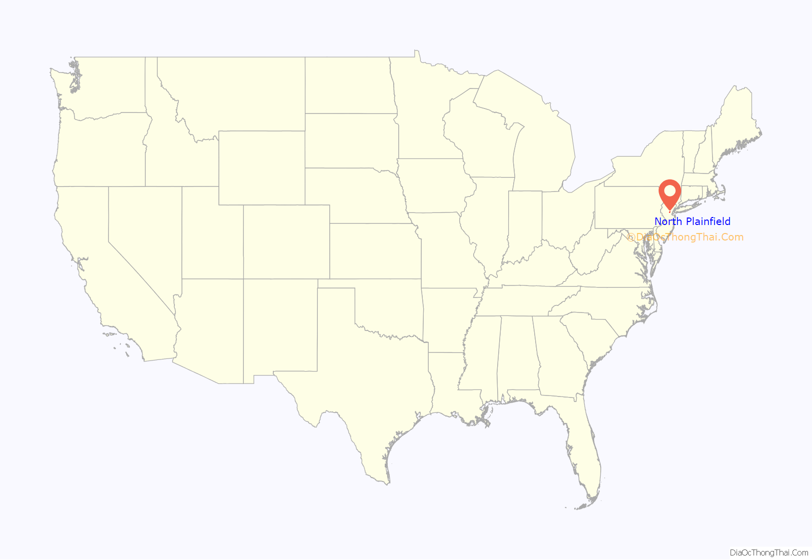
North Plainfield location map. Where is North Plainfield borough?
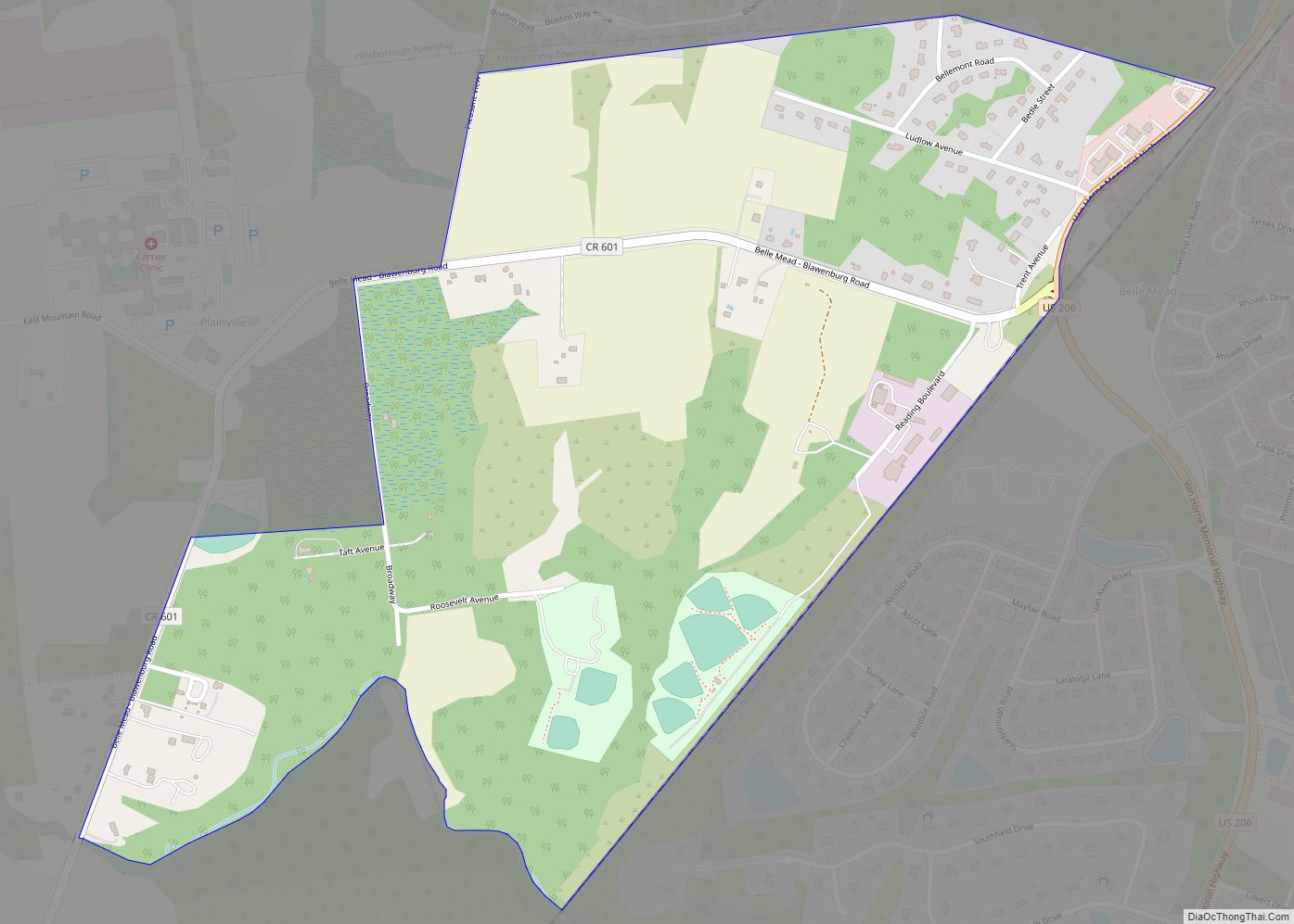
North Plainfield Road Map
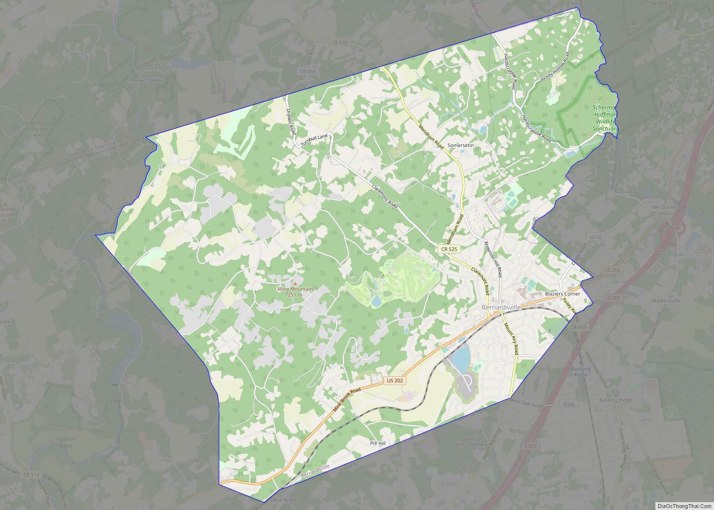
North Plainfield city Satellite Map
Geography
According to the United States Census Bureau, North Plainfield borough had a total area of 2.82 square miles (7.31 km), including 2.81 square miles (7.27 km) of land and 0.01 square miles (0.03 km) of water (0.46%).
The borough is bordered by the municipalities of Watchung to the north, Green Brook Township to the southwest, all in Somerset County; and to the south by Plainfield in Union County.
North Plainfield is in the northern division of the Raritan Valley along with Green Brook.
See also
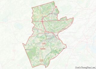
Map of New Jersey State and its subdivision: Map of other states:- Alabama
- Alaska
- Arizona
- Arkansas
- California
- Colorado
- Connecticut
- Delaware
- District of Columbia
- Florida
- Georgia
- Hawaii
- Idaho
- Illinois
- Indiana
- Iowa
- Kansas
- Kentucky
- Louisiana
- Maine
- Maryland
- Massachusetts
- Michigan
- Minnesota
- Mississippi
- Missouri
- Montana
- Nebraska
- Nevada
- New Hampshire
- New Jersey
- New Mexico
- New York
- North Carolina
- North Dakota
- Ohio
- Oklahoma
- Oregon
- Pennsylvania
- Rhode Island
- South Carolina
- South Dakota
- Tennessee
- Texas
- Utah
- Vermont
- Virginia
- Washington
- West Virginia
- Wisconsin
- Wyoming
