Ocean Gate is a borough in Ocean County, in the U.S. state of New Jersey. As of the 2020 United States census, the borough’s population was 1,932, a decrease of 79 (−3.9%) from the 2010 census count of 2,011, which in turn reflected a decline of 65 (−3.1%) from the 2,076 counted in the 2000 census.
| Name: | Ocean Gate borough |
|---|---|
| LSAD Code: | 21 |
| LSAD Description: | borough (suffix) |
| State: | New Jersey |
| County: | Ocean County |
| Incorporated: | February 28, 1918 |
| Elevation: | 7 ft (2 m) |
| Total Area: | 0.54 sq mi (1.41 km²) |
| Land Area: | 0.45 sq mi (1.17 km²) |
| Water Area: | 0.09 sq mi (0.24 km²) 17.22% |
| Total Population: | 1,932 |
| Population Density: | 4,294.1/sq mi (1,658.0/km²) |
| ZIP code: | 08740 |
| Area code: | 732 exchanges: 237, 269, 606 |
| FIPS code: | 3454450 |
| GNISfeature ID: | 885333 |
| Website: | www.oceangatenjgov.com |
Online Interactive Map
Click on ![]() to view map in "full screen" mode.
to view map in "full screen" mode.
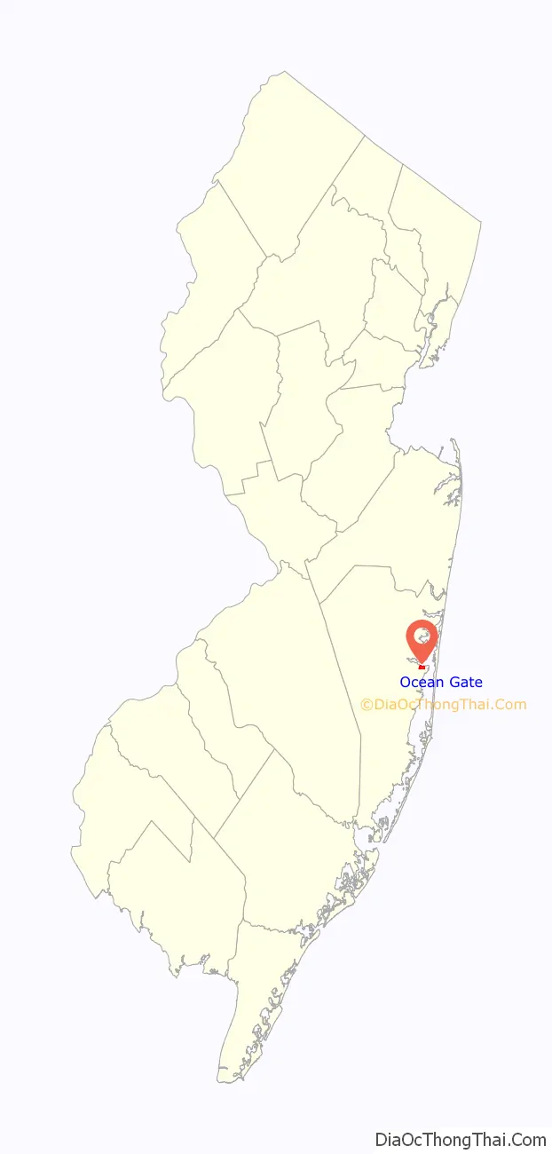
Ocean Gate location map. Where is Ocean Gate borough?

History
Trains operated to the area by Pennsylvania Railroad served what was called “Good Luck Point”, with visitors building cottages that were the start of the community that became Ocean Gate. AT&T operated a shortwave radio transmitting station after purchasing 175 acres (71 ha) in 1929.
The borough of Ocean Gate was incorporated by an act of the New Jersey Legislature on February 28, 1918, from portions of Berkeley Township. An additional portion of Berkeley Township was annexed on February 28, 1953.
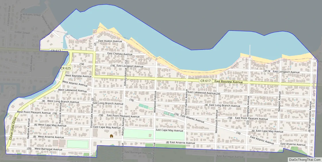
Ocean Gate Road Map
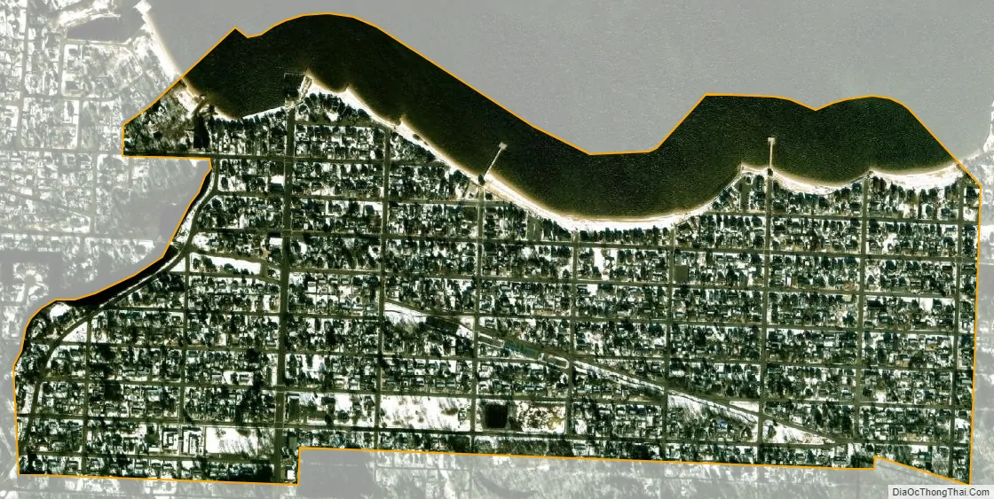
Ocean Gate city Satellite Map
Geography
According to the United States Census Bureau, the borough had a total area of 0.54 square miles (1.41 km), including 0.45 square miles (1.17 km) of land and 0.09 square miles (0.24 km) of water (17.22%).
The borough is bordered by the Ocean County municipality of Berkeley Township.
The borough, including its northern half, is one of 11 municipalities in Ocean County that are part of the Toms River watershed.
See also
Map of New Jersey State and its subdivision: Map of other states:- Alabama
- Alaska
- Arizona
- Arkansas
- California
- Colorado
- Connecticut
- Delaware
- District of Columbia
- Florida
- Georgia
- Hawaii
- Idaho
- Illinois
- Indiana
- Iowa
- Kansas
- Kentucky
- Louisiana
- Maine
- Maryland
- Massachusetts
- Michigan
- Minnesota
- Mississippi
- Missouri
- Montana
- Nebraska
- Nevada
- New Hampshire
- New Jersey
- New Mexico
- New York
- North Carolina
- North Dakota
- Ohio
- Oklahoma
- Oregon
- Pennsylvania
- Rhode Island
- South Carolina
- South Dakota
- Tennessee
- Texas
- Utah
- Vermont
- Virginia
- Washington
- West Virginia
- Wisconsin
- Wyoming


