Point Pleasant is a borough situated on the Jersey Shore, in northern Ocean County, in the U.S. state of New Jersey. As of the 2020 United States census, the borough’s population was 18,941, an increase of 549 (+3.0%) from the 2010 census count of 18,392, which in turn reflected a decline of 914 (−4.7%) from the 19,306 counted at 2000 census.
The borough is a Jersey Shore community situated south of the Manasquan River and north and east of the Beaverdam Creek and its confluence with the Metedeconk River.
Point Pleasant was incorporated as a borough by an act of the New Jersey Legislature on April 21, 1920, from portions of Brick Township, based on the results of a referendum held on May 19, 1920. The borough was reincorporated on March 12, 1928. Point Pleasant is distinct from Point Pleasant Beach, which is a separate community. The borough gets its name from Point Pleasant Beach, which gets its name from its location at the northern end of the Barnegat Peninsula, a long, narrow barrier peninsula that divides the Barnegat Bay from the Atlantic Ocean at the Manasquan Inlet.
| Name: | Point Pleasant borough |
|---|---|
| LSAD Code: | 21 |
| LSAD Description: | borough (suffix) |
| State: | New Jersey |
| County: | Ocean County |
| Incorporated: | May 19, 1920 |
| Elevation: | 13 ft (4 m) |
| Total Area: | 4.17 sq mi (10.79 km²) |
| Land Area: | 3.49 sq mi (9.04 km²) |
| Water Area: | 0.67 sq mi (1.74 km²) 16.16% |
| Total Population: | 18,941 |
| Population Density: | 5,425.7/sq mi (2,094.9/km²) |
| ZIP code: | 08742 |
| Area code: | 732 |
| FIPS code: | 3459880 |
| GNISfeature ID: | 0885357 |
| Website: | www.ptboro.com |
Online Interactive Map
Click on ![]() to view map in "full screen" mode.
to view map in "full screen" mode.
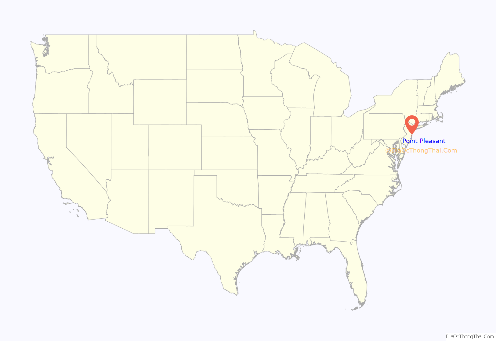
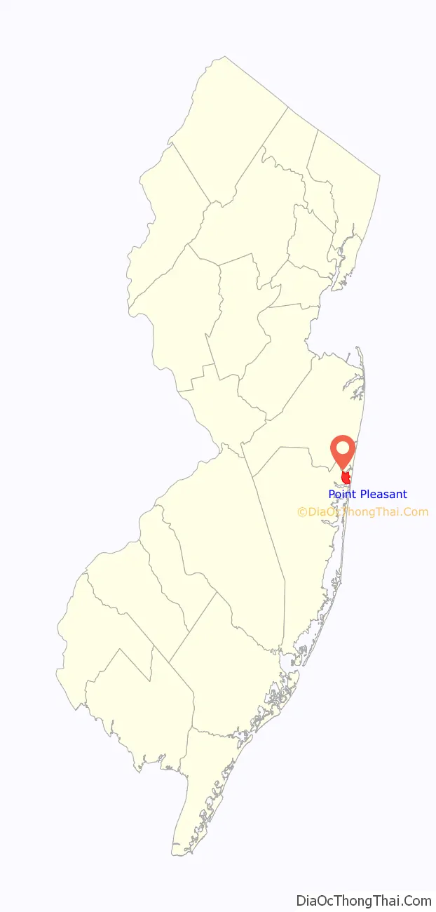
Point Pleasant location map. Where is Point Pleasant borough?
History
Around 1500, the area that included the future Point Pleasant was the ceremonial meeting place of the Lenape Native Americans, who called it the “Land of Tall Timber”. In approximately 1665, the first European settlers arrived in the area, mainly fishermen, farmers and boat builders.
On February 15, 1850, Governor Daniel Haines and the New Jersey Legislature separated Ocean County from Monmouth County, and created Brick Township, including the Point Pleasant area, which became independent of Brick Township in 1920, though the post office carried the designation “West Point Pleasant” until 1956. According to the town’s official website, many longtime residents still use that name. The town’s first mayor was Melville B. Parker, chosen after J.H. Harvey declined the position after being elected. The town was initially a logging town, although logging was never a significant part of the local economy.
In 1925, the Manasquan River-Bay Head Canal was completed as part of the inland waterway. The canal, which divides Point Pleasant in half, provides a passage for boats, and is the northernmost leg of the Intracoastal Waterway which traverses the East Coast of the United States along the Atlantic Ocean between New Jersey and Florida. In 1964, Senator Clifford P. Case introduced legislation that changed the canal’s name to the Point Pleasant Canal. The two lift bridges over the canal, at Route 88 and Bridge Avenue, can be opened as many as 300 times per day during the summer to allow boats to pass underneath as marine traffic has the right of way.
Though often regarded as a summer resort, the borough’s website emphasizes that it is a “year round community of approximately 19,000 residents”.
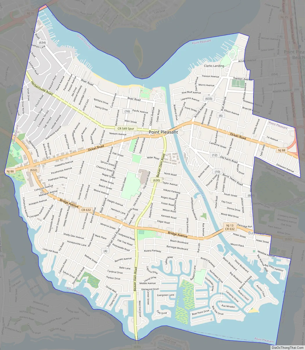
Point Pleasant Road Map
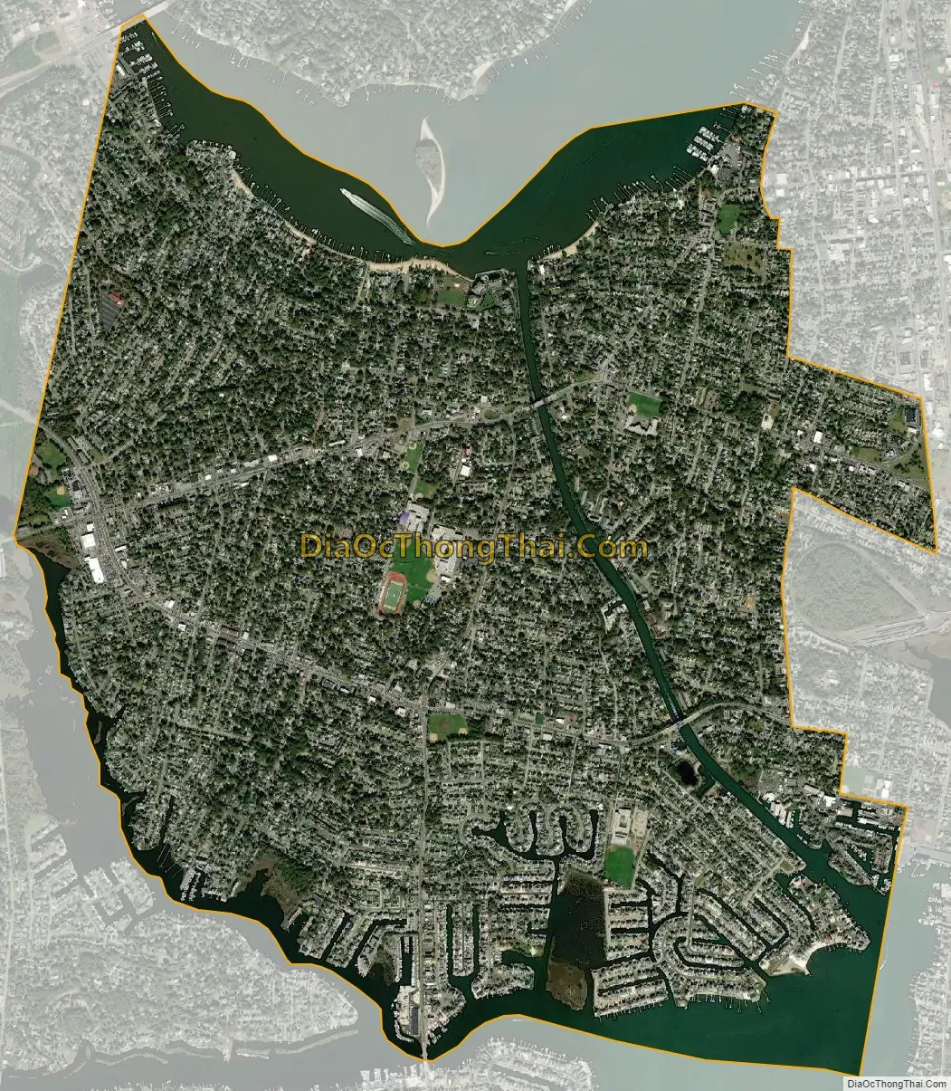
Point Pleasant city Satellite Map
Geography
According to the United States Census Bureau, the borough had a total area of 4.17 square miles (10.79 km), including 3.49 square miles (9.04 km) of land and 0.67 square miles (1.75 km) of water (16.16%).
The borough is bounded on the north by the Manasquan River, on the east by Point Pleasant Beach and Bay Head, on the south by Beaver Dam Creek and on the west by Brick Township; the borough also borders Mantoloking in Ocean County and Brielle in Monmouth County.
See also
Map of New Jersey State and its subdivision: Map of other states:- Alabama
- Alaska
- Arizona
- Arkansas
- California
- Colorado
- Connecticut
- Delaware
- District of Columbia
- Florida
- Georgia
- Hawaii
- Idaho
- Illinois
- Indiana
- Iowa
- Kansas
- Kentucky
- Louisiana
- Maine
- Maryland
- Massachusetts
- Michigan
- Minnesota
- Mississippi
- Missouri
- Montana
- Nebraska
- Nevada
- New Hampshire
- New Jersey
- New Mexico
- New York
- North Carolina
- North Dakota
- Ohio
- Oklahoma
- Oregon
- Pennsylvania
- Rhode Island
- South Carolina
- South Dakota
- Tennessee
- Texas
- Utah
- Vermont
- Virginia
- Washington
- West Virginia
- Wisconsin
- Wyoming


