Port Norris is an unincorporated community and census-designated place (CDP) located within Commercial Township, in Cumberland County, New Jersey, United States. It is part of the Vineland–Millville– Bridgeton Primary Metropolitan Statistical Area for statistical purposes. As of the 2000 United States Census, the CDP’s population was 1,377. Legislation was passed in 1911 allowing voters to choose to incorporate Port Norris as a borough, independent from Commercial Township, but it was defeated in a referendum.
| Name: | Port Norris CDP |
|---|---|
| LSAD Code: | 57 |
| LSAD Description: | CDP (suffix) |
| State: | New Jersey |
| County: | Cumberland County |
| Elevation: | 10 ft (3 m) |
| Total Area: | 6.92 sq mi (17.93 km²) |
| Land Area: | 6.38 sq mi (16.52 km²) |
| Water Area: | 0.55 sq mi (1.42 km²) 7.23% |
| Total Population: | 1,111 |
| Population Density: | 174.19/sq mi (67.26/km²) |
| ZIP code: | 08349 |
| Area code: | 856 |
| FIPS code: | 3460510 |
| GNISfeature ID: | 02389697 |
Online Interactive Map
Click on ![]() to view map in "full screen" mode.
to view map in "full screen" mode.
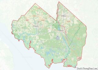
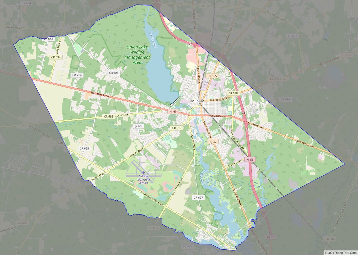
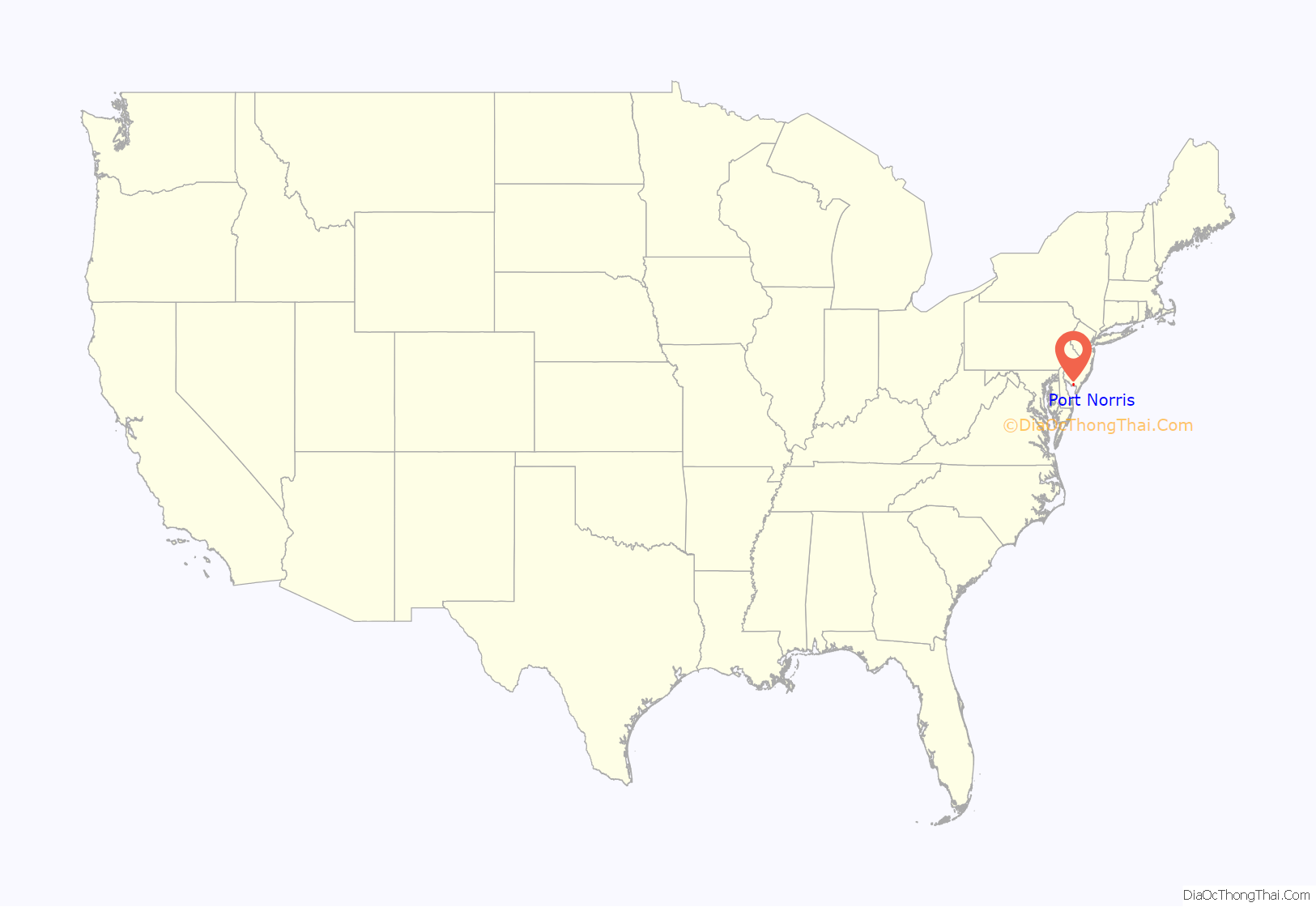
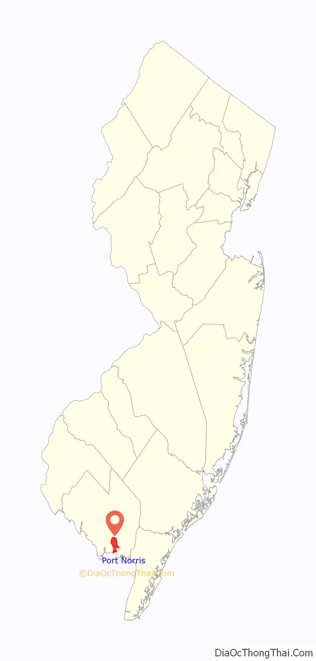
Port Norris location map. Where is Port Norris CDP?
History
On a late night in September 2007, an undercover operation to put a halt to the drag racing was commenced, and up to 62 people were caught participating in a major drag race gathering. About 208 summonses were issued and several cars were impounded.
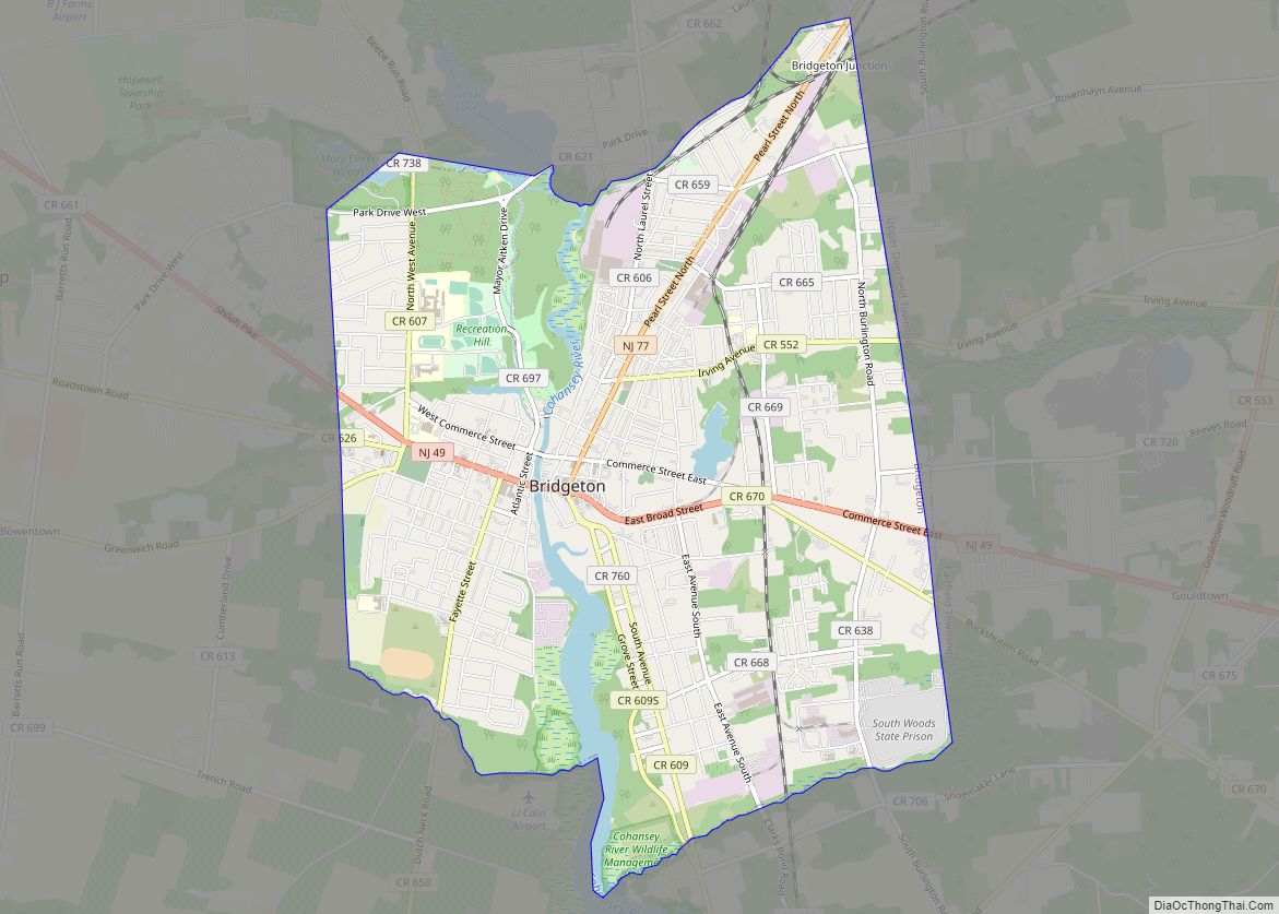
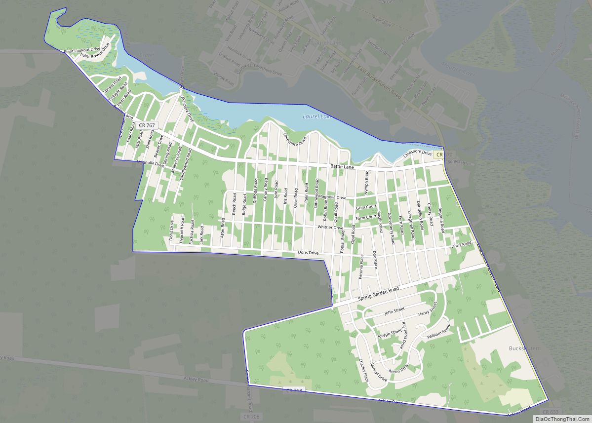
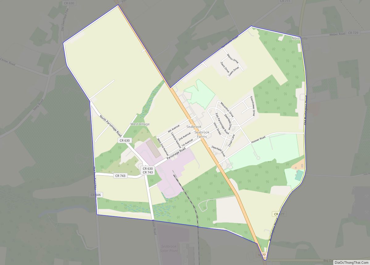
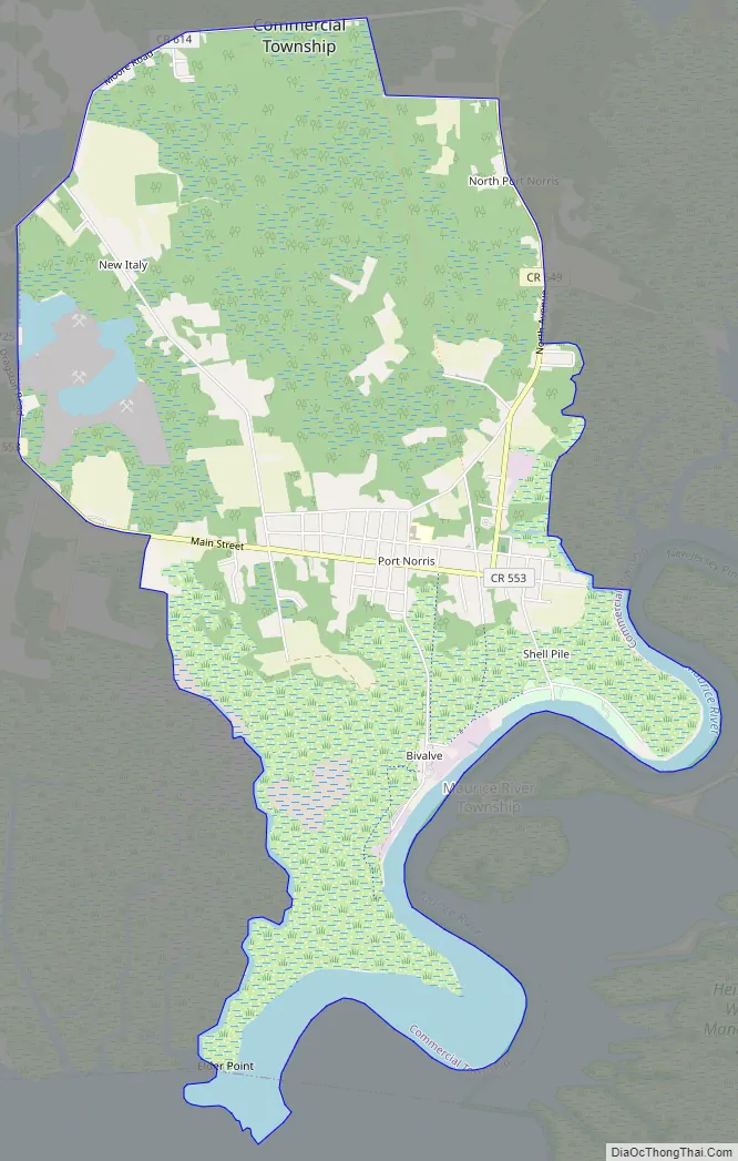
Port Norris Road Map
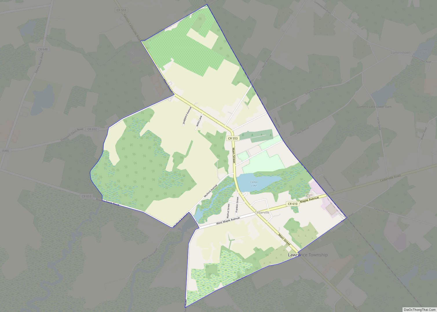
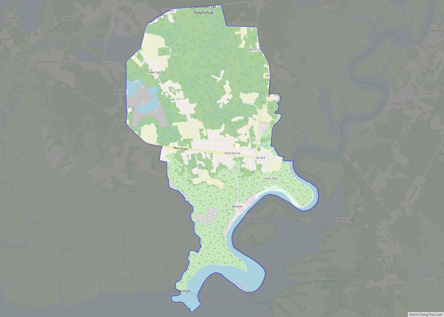
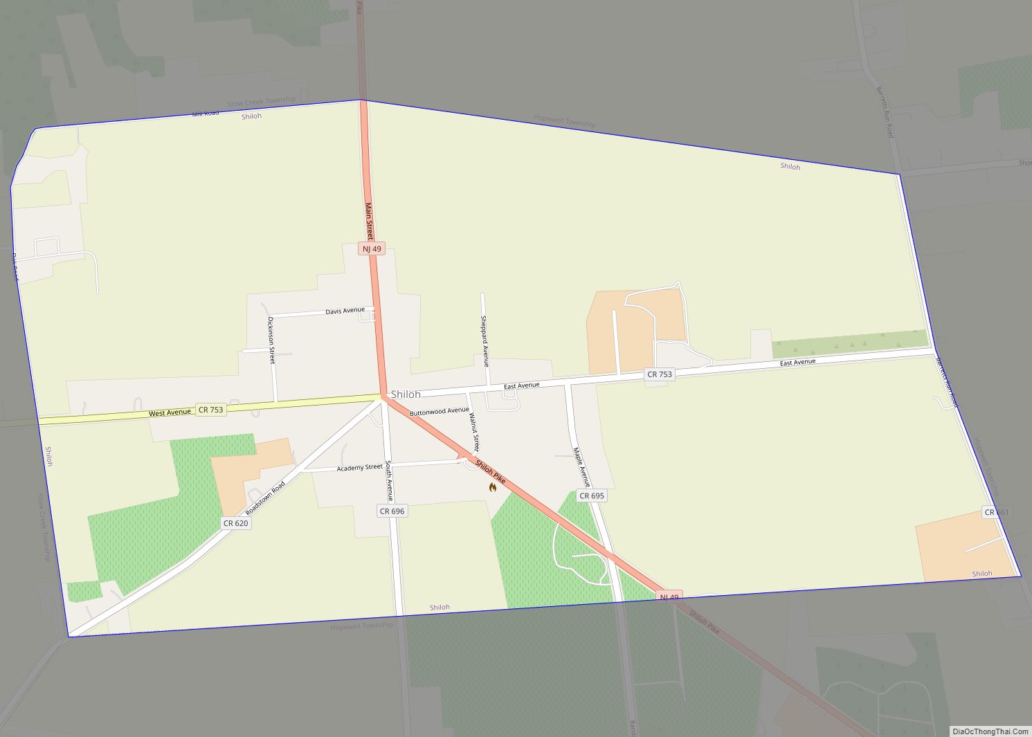
Port Norris city Satellite Map
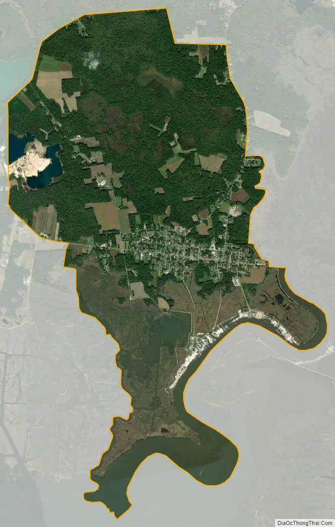
Geography
According to the United States Census Bureau, the CDP had a total area of 6.829 square miles (17.685 km), including 6.335 square miles (16.407 km) of land and 0.494 square miles (1.279 km) of water (7.23%). Port Norris is located near the mouth of the Maurice River.
See also
Map of New Jersey State and its subdivision: Map of other states:- Alabama
- Alaska
- Arizona
- Arkansas
- California
- Colorado
- Connecticut
- Delaware
- District of Columbia
- Florida
- Georgia
- Hawaii
- Idaho
- Illinois
- Indiana
- Iowa
- Kansas
- Kentucky
- Louisiana
- Maine
- Maryland
- Massachusetts
- Michigan
- Minnesota
- Mississippi
- Missouri
- Montana
- Nebraska
- Nevada
- New Hampshire
- New Jersey
- New Mexico
- New York
- North Carolina
- North Dakota
- Ohio
- Oklahoma
- Oregon
- Pennsylvania
- Rhode Island
- South Carolina
- South Dakota
- Tennessee
- Texas
- Utah
- Vermont
- Virginia
- Washington
- West Virginia
- Wisconsin
- Wyoming