Riverton is a borough located in Burlington County, in the U.S. state of New Jersey. As of the 2020 United States census, the borough’s population was 2,764, a decrease of 15 (−.5%) from the 2010 census count of 2,779, which in turn reflected an increase of 20 (+0.7%) from the 2,759 counted in the 2000 census. The borough, and all of Burlington County, is a part of the Philadelphia–Reading–Camden combined statistical area and the Delaware Valley.
Riverton was incorporated as a borough by an act of the New Jersey Legislature on December 18, 1893, from portions of Cinnaminson Township, based on the results of a referendum held six days earlier. Portions of the borough were taken to form Palmyra Township on April 19, 1894. The borough’s name is derived from The Riverton Improvement Company, which was established after a group of ten purchased a 120-acre (49 ha) that would be the site of a planned community with homes erected for many of the founders along the riverfront.
It is a dry town, where alcohol cannot be sold legally. The borough’s dry status was an early character of the borough, with a clause inserted starting in 1952 by the Riverton Improvement Company into deeds for all properties in the community that prohibited the sale or manufacture of alcoholic beverages.
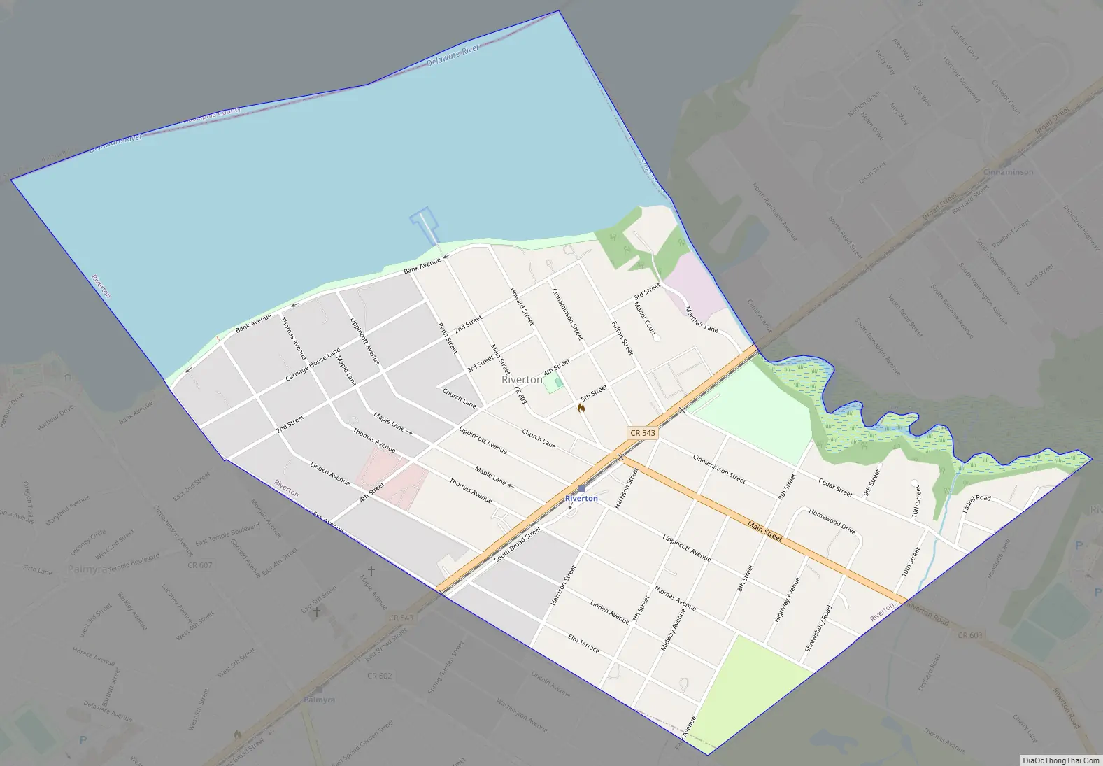
The borough is located on the Delaware River and is pedestrian-friendly, with sidewalks, gas lamps, and Victorian architecture. Riverton is home to the Riverton Yacht Club, one of the oldest active yacht clubs in the country. Many residents’ sailboats make their home at this landmark.
| Name: | Riverton borough |
|---|---|
| LSAD Code: | 21 |
| LSAD Description: | borough (suffix) |
| State: | New Jersey |
| County: | Burlington County |
| Incorporated: | December 18, 1893 |
| Elevation: | 13 ft (4 m) |
| Total Area: | 0.96 sq mi (2.50 km²) |
| Land Area: | 0.66 sq mi (1.71 km²) |
| Water Area: | 0.30 sq mi (0.78 km²) 31.46% |
| Total Population: | 2,764 |
| Population Density: | 4,176.6/sq mi (1,612.6/km²) |
| Area code: | 856 exchanges: 303, 786, 829 |
| FIPS code: | 3463660 |
| GNISfeature ID: | 0885373 |
| Website: | www.riverton-nj.com |
Online Interactive Map
Click on ![]() to view map in "full screen" mode.
to view map in "full screen" mode.
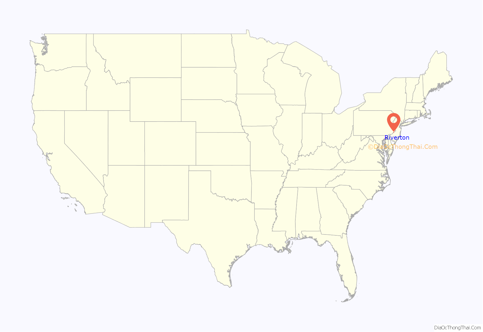
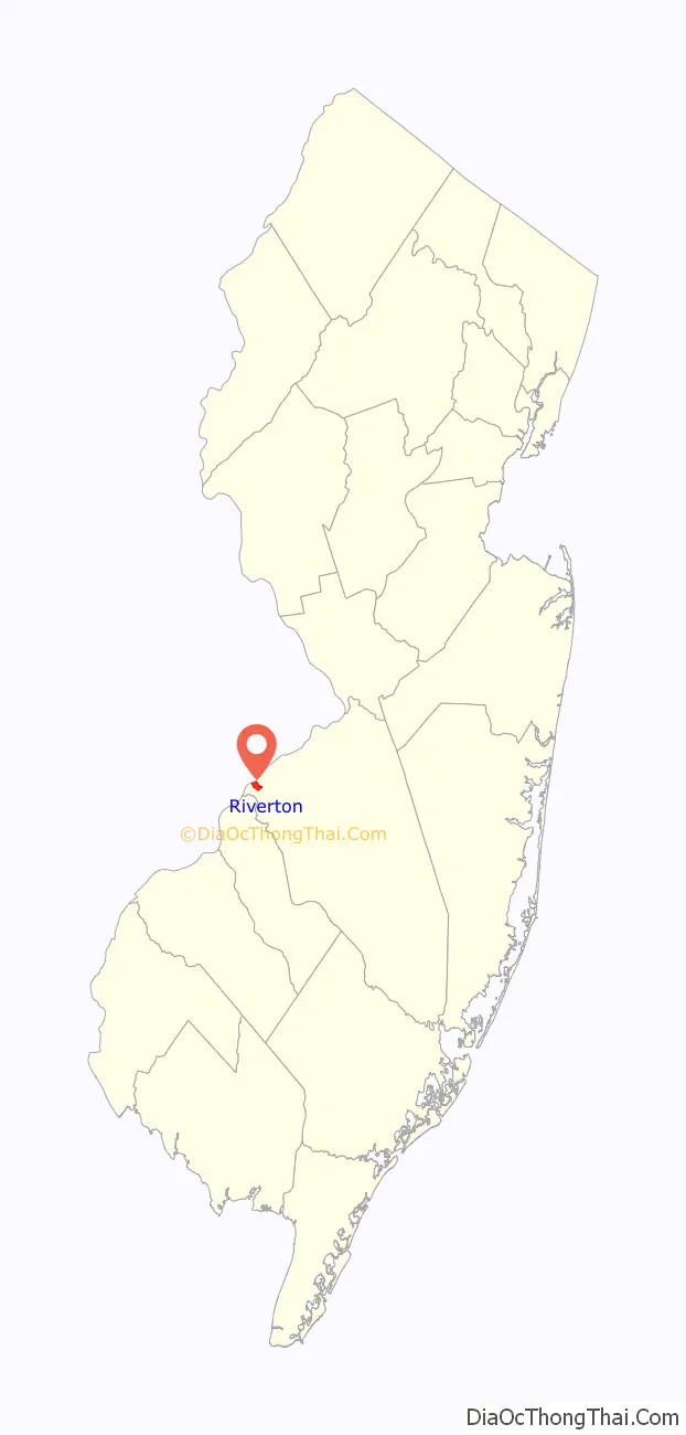
Riverton location map. Where is Riverton borough?
History
Riverton was established in 1851, along the Delaware River, having been laid out by Philadelphia architect Samuel Sloan. According to architectural historian Henry Russell Hitchcock, Riverton was one of the first totally planned residential subdivisions in the United States.
The Japanese beetle, now a widespread invasive insect pest in the United States, were first discovered in a nursery near Riverton in 1916.
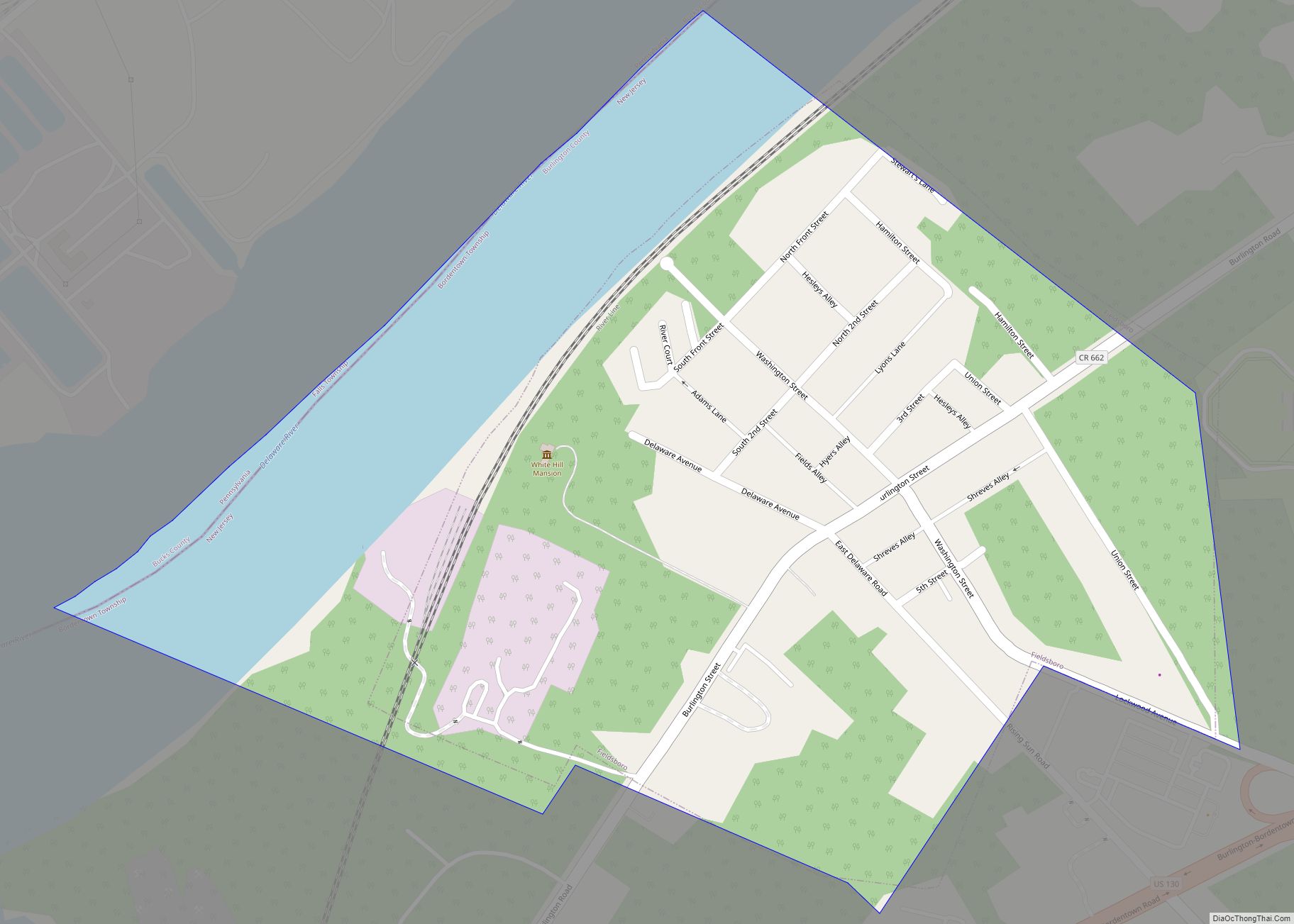
Riverton Road Map
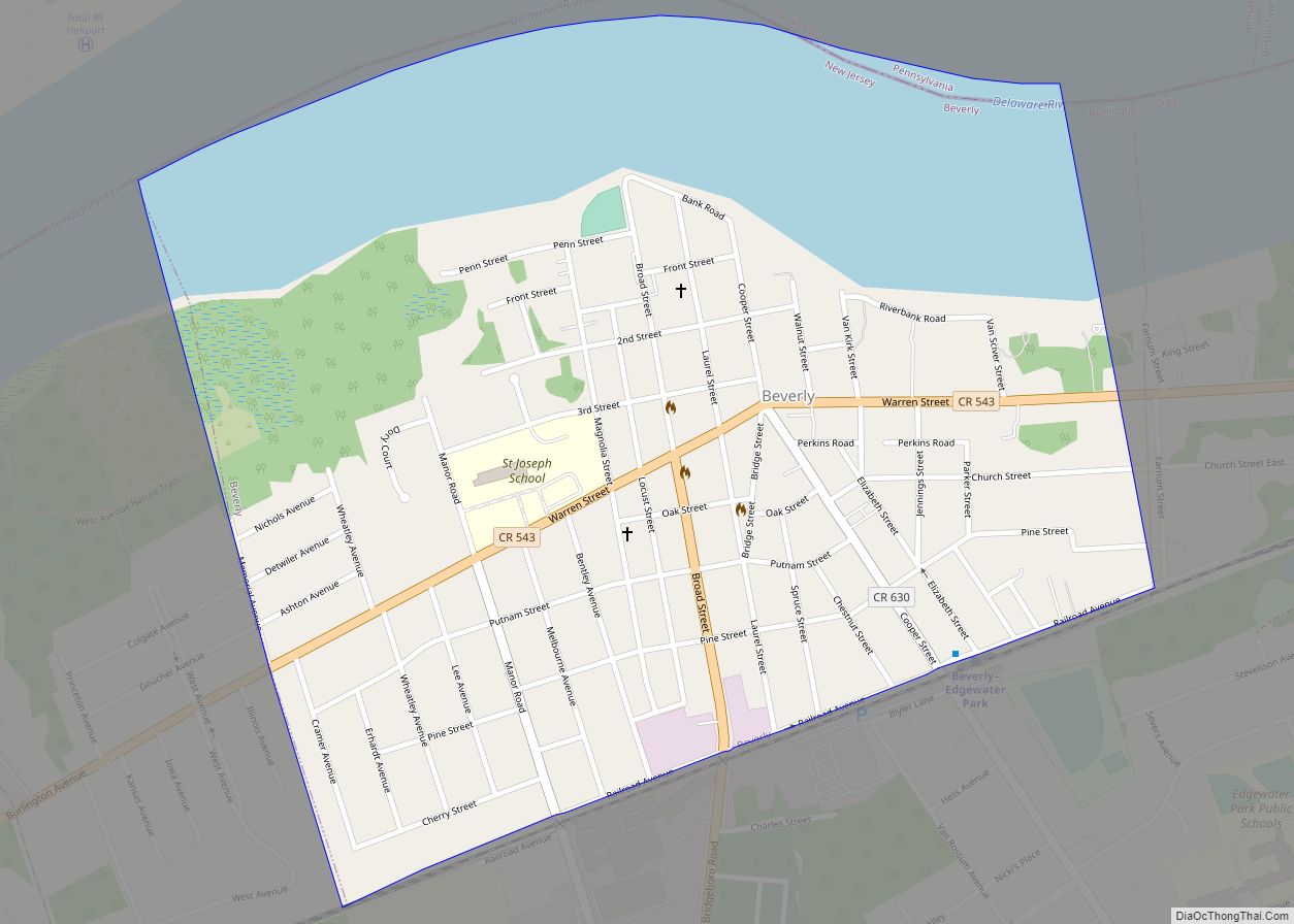
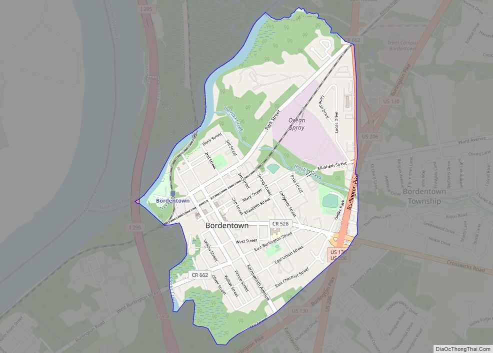
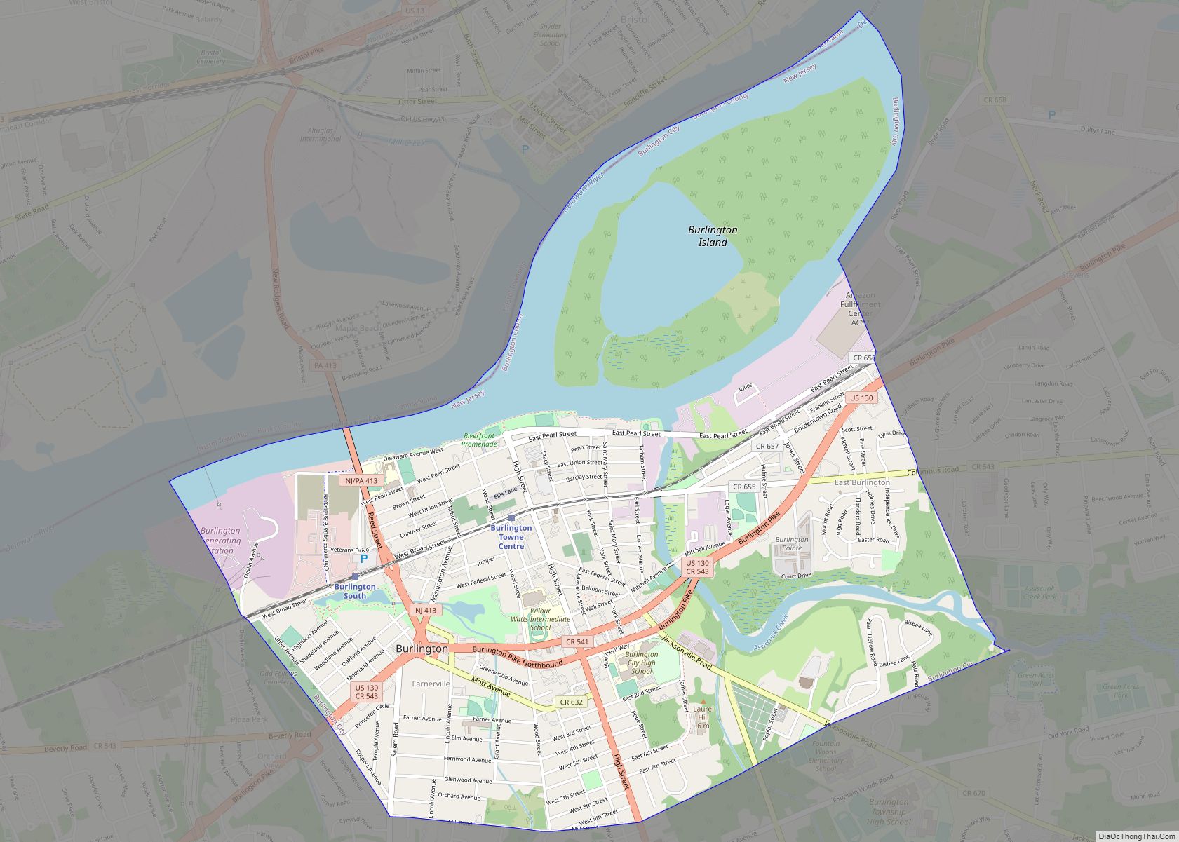
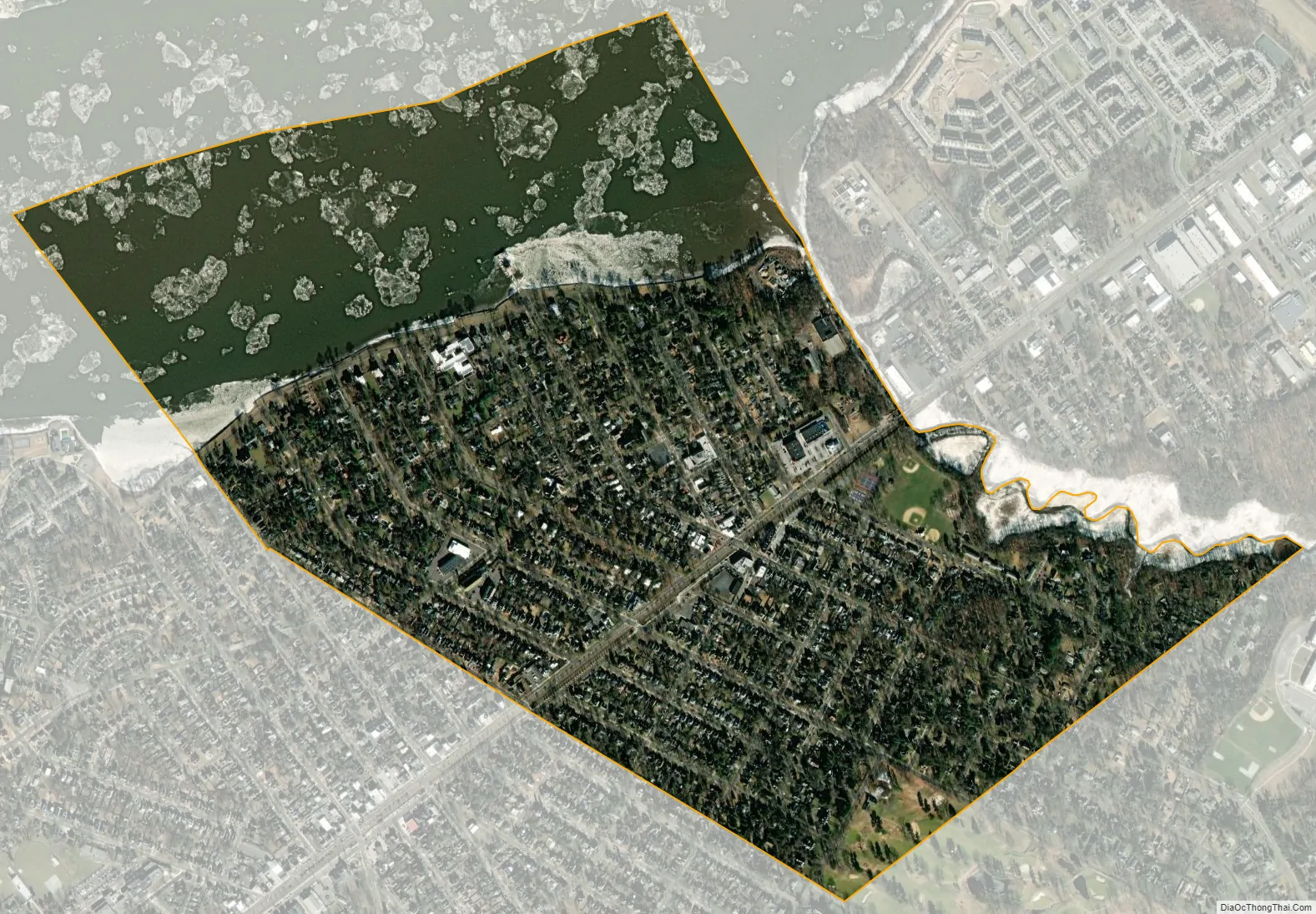
Riverton city Satellite Map
Geography
According to the United States Census Bureau, the borough had a total area of 0.96 square miles (2.50 km), including 0.66 square miles (1.71 km) of land and 0.30 square miles (0.78 km) of water (31.46%).
The borough borders Cinnaminson Township and Palmyra in Burlington County; and Philadelphia, across the Delaware River in Pennsylvania.
See also
Map of New Jersey State and its subdivision: Map of other states:- Alabama
- Alaska
- Arizona
- Arkansas
- California
- Colorado
- Connecticut
- Delaware
- District of Columbia
- Florida
- Georgia
- Hawaii
- Idaho
- Illinois
- Indiana
- Iowa
- Kansas
- Kentucky
- Louisiana
- Maine
- Maryland
- Massachusetts
- Michigan
- Minnesota
- Mississippi
- Missouri
- Montana
- Nebraska
- Nevada
- New Hampshire
- New Jersey
- New Mexico
- New York
- North Carolina
- North Dakota
- Ohio
- Oklahoma
- Oregon
- Pennsylvania
- Rhode Island
- South Carolina
- South Dakota
- Tennessee
- Texas
- Utah
- Vermont
- Virginia
- Washington
- West Virginia
- Wisconsin
- Wyoming