Seabrook Farms is an unincorporated community and census-designated place (CDP) located within Seabrook, which is in turn located in Upper Deerfield Township, in Cumberland County, in the U.S. state of New Jersey. It is part of the Vineland–Bridgeton metropolitan statistical area for statistical purposes. At the 2010 census, Seabrook Farms’s population was 1,484. Seabrook Farms is named after Charles F. Seabrook, a businessman who ran a truck farm that was one of the state’s largest.
| Name: | Seabrook Farms CDP |
|---|---|
| LSAD Code: | 57 |
| LSAD Description: | CDP (suffix) |
| State: | New Jersey |
| County: | Cumberland County |
| Elevation: | 108 ft (33 m) |
| Total Area: | 2.18 sq mi (5.64 km²) |
| Land Area: | 2.17 sq mi (5.61 km²) |
| Water Area: | 0.01 sq mi (0.03 km²) 0.47% |
| Total Population: | 1,508 |
| Population Density: | 695.89/sq mi (268.64/km²) |
| FIPS code: | 3466300 |
| GNISfeature ID: | 02390267 |
Online Interactive Map
Click on ![]() to view map in "full screen" mode.
to view map in "full screen" mode.
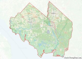
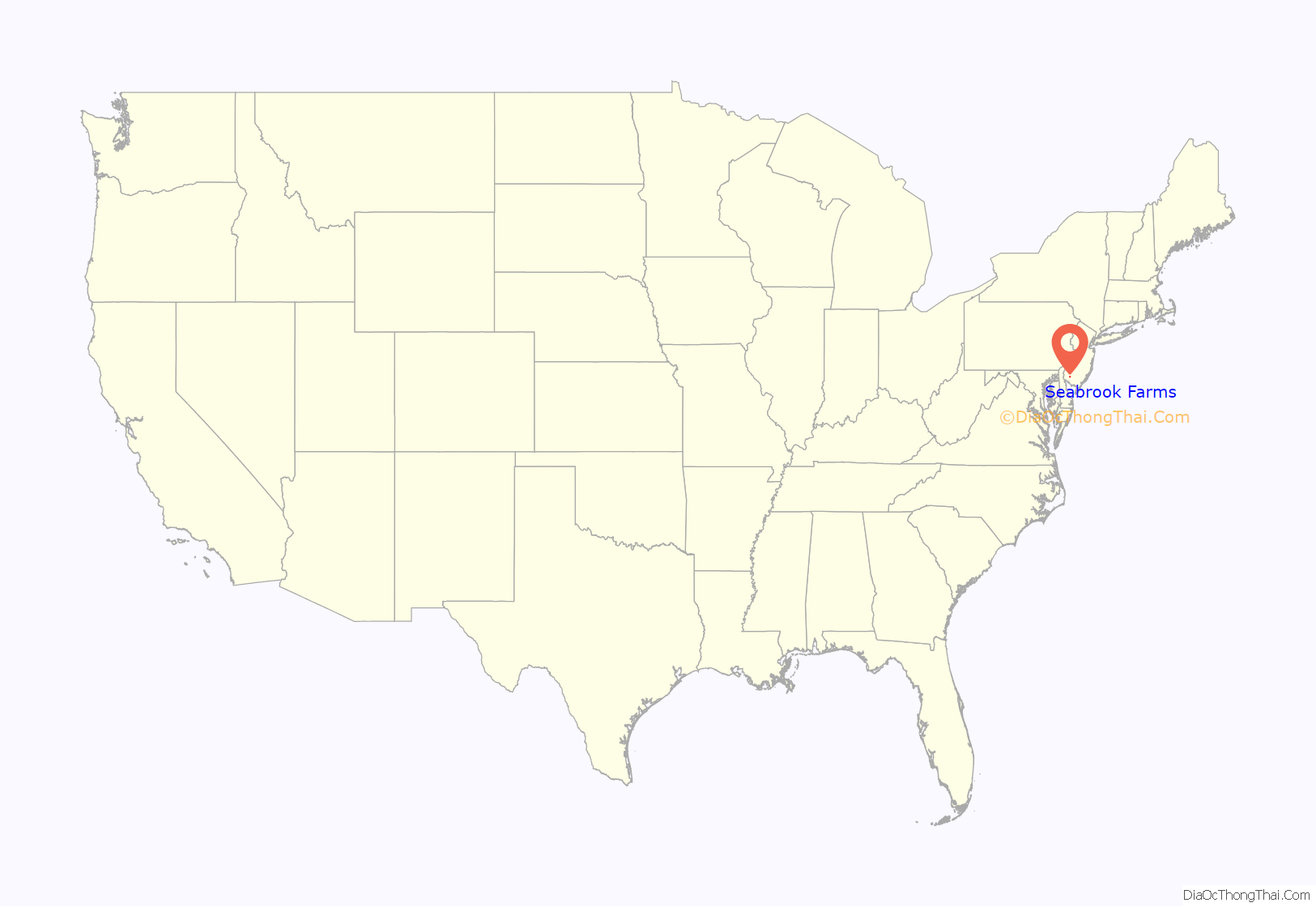
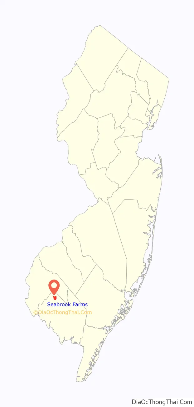
Seabrook Farms location map. Where is Seabrook Farms CDP?
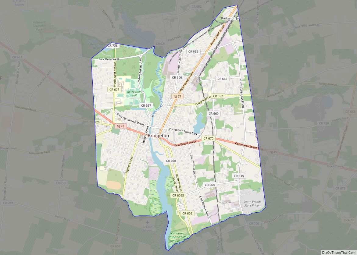
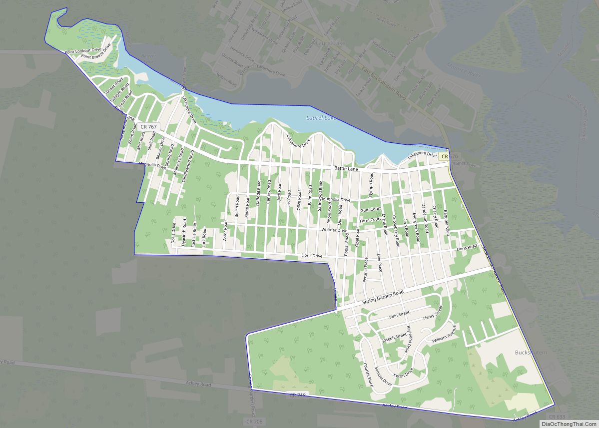
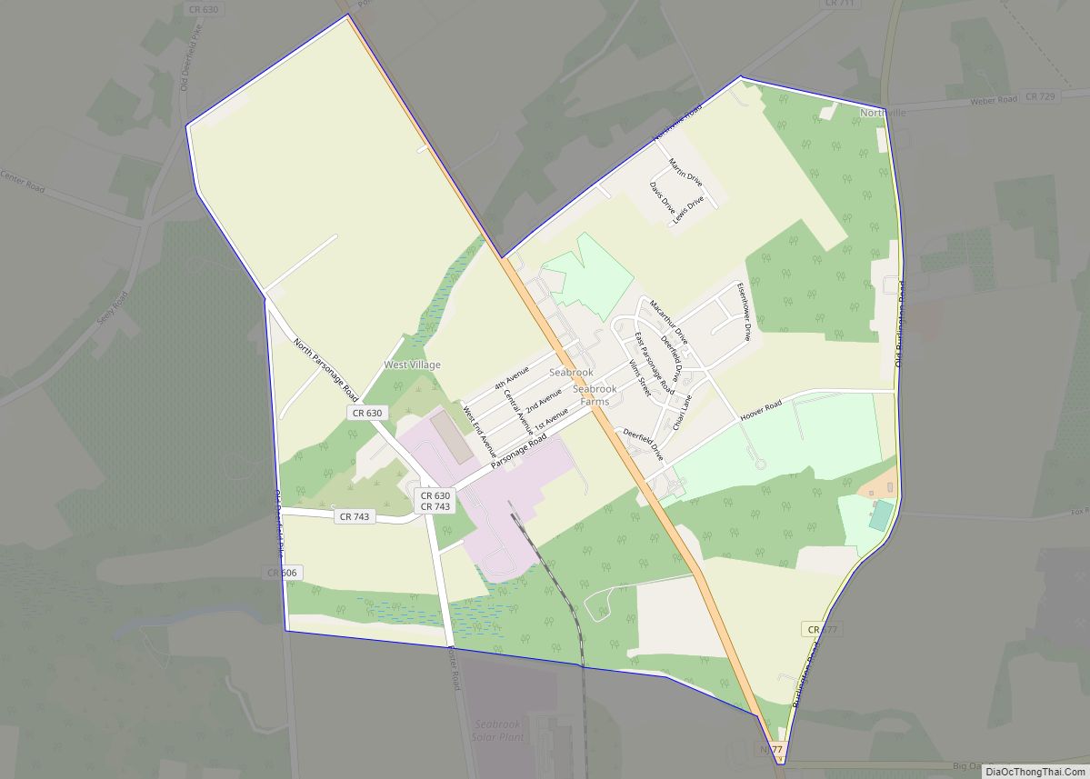
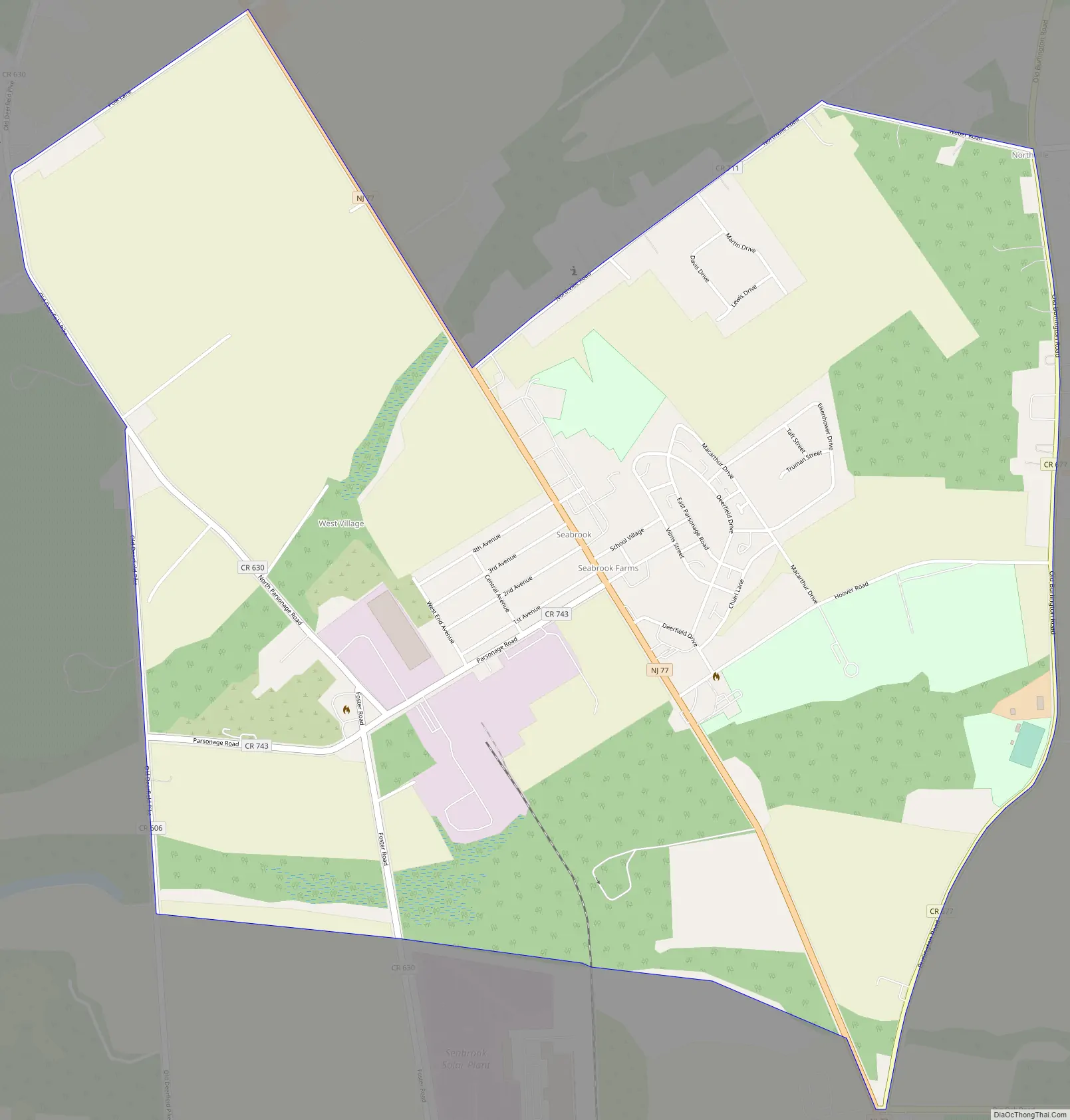
Seabrook Farms Road Map
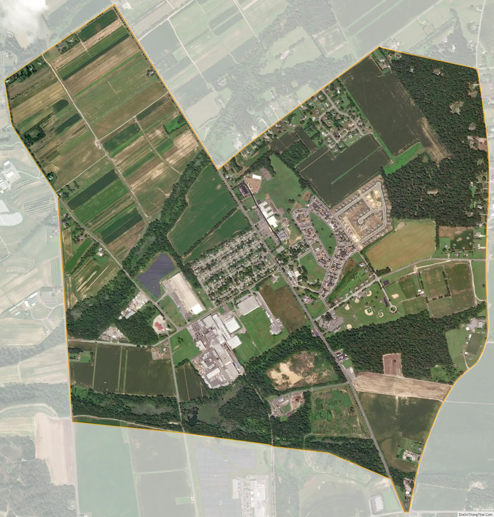
Seabrook Farms city Satellite Map
Geography
According to the United States Census Bureau, Seabrook Farms had a total area of 2.177 square miles (5.640 km), including 2.167 square miles (5.614 km) of it is land and 0.010 square miles (0.026 km) of water (0.47%) is water.
See also
Map of New Jersey State and its subdivision: Map of other states:- Alabama
- Alaska
- Arizona
- Arkansas
- California
- Colorado
- Connecticut
- Delaware
- District of Columbia
- Florida
- Georgia
- Hawaii
- Idaho
- Illinois
- Indiana
- Iowa
- Kansas
- Kentucky
- Louisiana
- Maine
- Maryland
- Massachusetts
- Michigan
- Minnesota
- Mississippi
- Missouri
- Montana
- Nebraska
- Nevada
- New Hampshire
- New Jersey
- New Mexico
- New York
- North Carolina
- North Dakota
- Ohio
- Oklahoma
- Oregon
- Pennsylvania
- Rhode Island
- South Carolina
- South Dakota
- Tennessee
- Texas
- Utah
- Vermont
- Virginia
- Washington
- West Virginia
- Wisconsin
- Wyoming