Shiloh is a borough in Cumberland County, in the U.S. state of New Jersey. It is part of the Vineland–Bridgeton metropolitan statistical area for statistical purposes. As of the 2020 United States census, the borough’s population was 444, a decrease of 72 (−14.0%) from the 2010 census count of 516, which in turn reflected a decline of 18 (−3.4%) from the 534 counted in the 2000 census.
Shiloh was incorporated as a borough by an act of the New Jersey Legislature on April 9, 1929, from portions of Hopewell Township and Stow Creek Township, based on the results of a referendum held on May 16, 1929. The borough was named for the Civil War Battle of Shiloh.
It is a dry town, where alcohol is not permitted to be sold by law, though alcohol is available at the winery in the borough.
| Name: | Shiloh borough |
|---|---|
| LSAD Code: | 21 |
| LSAD Description: | borough (suffix) |
| State: | New Jersey |
| County: | Cumberland County |
| Incorporated: | April 9, 1929 |
| Elevation: | 112 ft (34 m) |
| Total Area: | 1.20 sq mi (3.12 km²) |
| Land Area: | 1.20 sq mi (3.12 km²) |
| Water Area: | 0.00 sq mi (0.00 km²) 0.08% |
| Total Population: | 444 |
| Population Density: | 369.0/sq mi (142.5/km²) |
| ZIP code: | 08353 |
| Area code: | 856 exchanges: 451, 455 |
| FIPS code: | 3467020 |
| GNISfeature ID: | 0885393 |
| Website: | www.shilohborough.com |
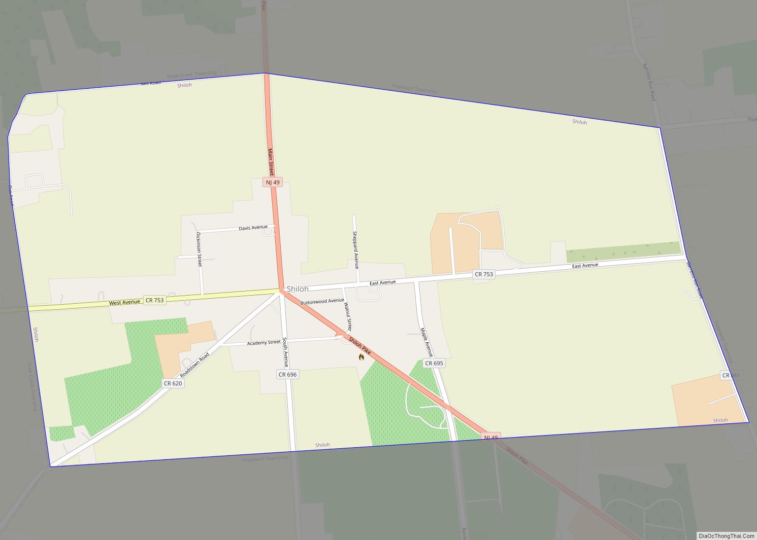
Online Interactive Map
Click on ![]() to view map in "full screen" mode.
to view map in "full screen" mode.
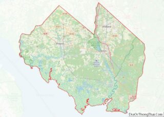
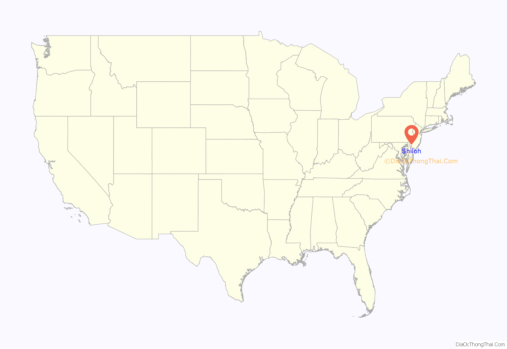
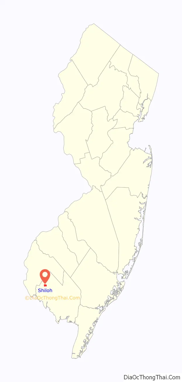
Shiloh location map. Where is Shiloh borough?
History
The settlement of Shiloh was founded in 1705 by Robert Ayars, who brought over 2,000 Seventh Day Baptists from Rhode Island to be free of religious persecution. Known as Cohansey Crossing when a church was formed in the area in 1737, the name Shiloh was adopted in 1771.
When Cumberland County, New Jersey, was formed in 1748, the community of Shiloh was divided between Hopewell Township and Stow Creek Township.
As part of a political battle over the site of the county seat for Cumberland County, Columbia Township was formed on March 12, 1844, from portions of Hopewell and Stow Creek Townships; the short-lived municipality included all of present-day Shiloh, in addition to extensive additional land, but all was returned to its original home when Columbia Township was dissolved on March 11, 1845, surviving as an independent municipality for a day short of one year.
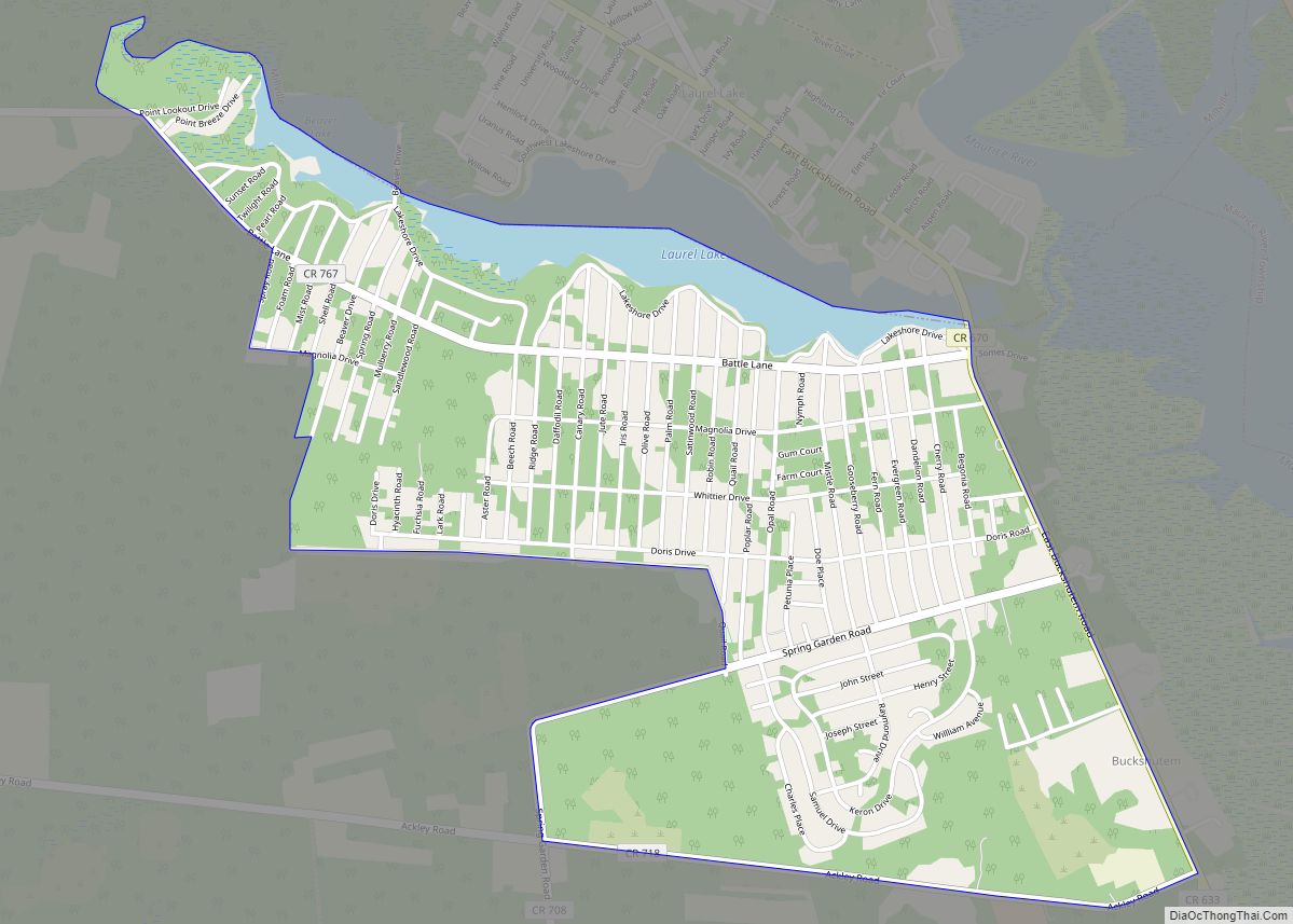
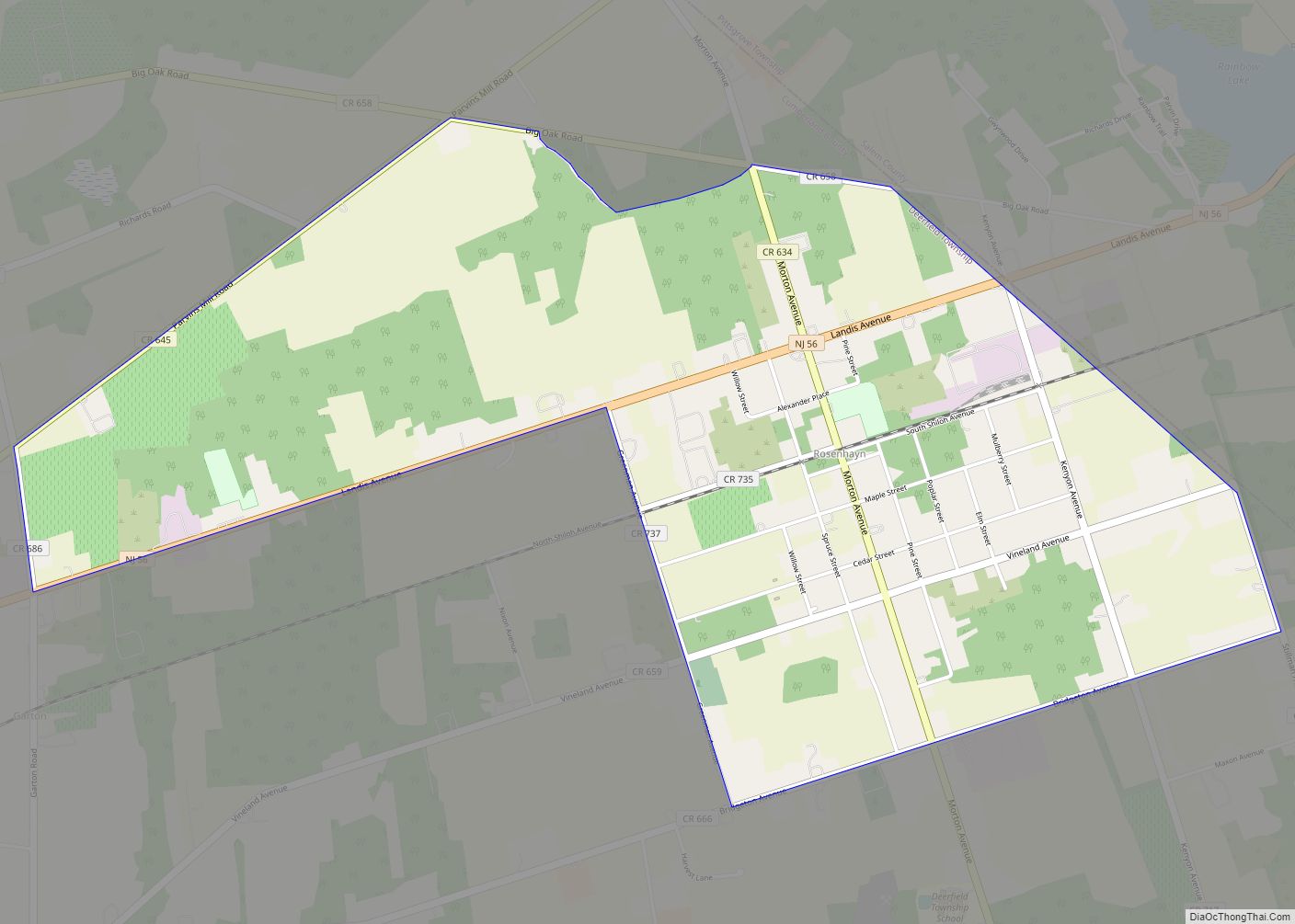
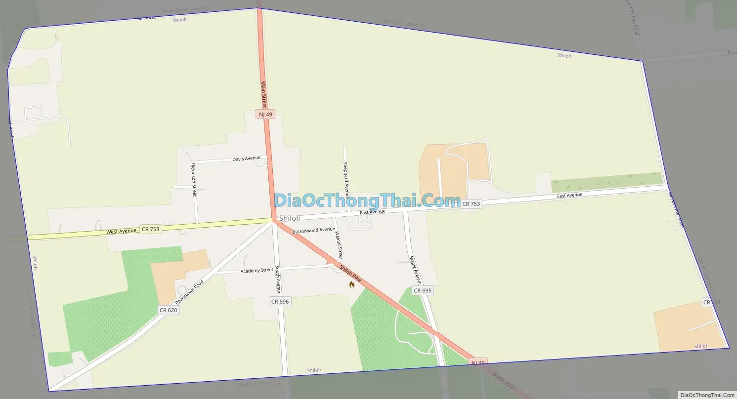
Shiloh Road Map
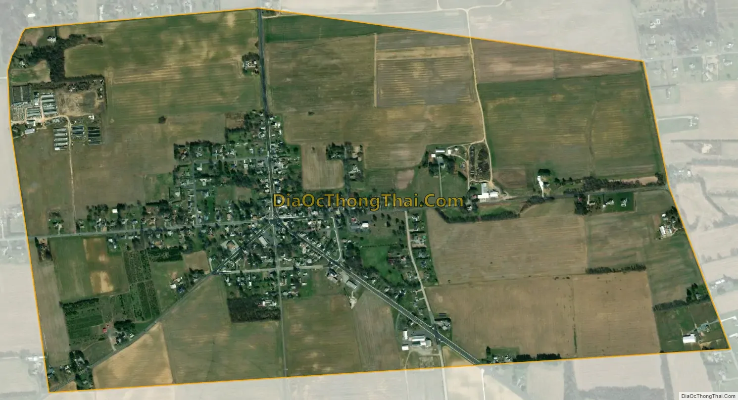
Shiloh city Satellite Map
Geography
According to the United States Census Bureau, the borough had a total area of 1.20 square miles (3.12 km), including 1.20 square miles (3.12 km) of land and <0.01 square miles (<0.01 km) of water (0.08%).
Shiloh borders Hopewell Township and Stow Creek Township.
See also
Map of New Jersey State and its subdivision: Map of other states:- Alabama
- Alaska
- Arizona
- Arkansas
- California
- Colorado
- Connecticut
- Delaware
- District of Columbia
- Florida
- Georgia
- Hawaii
- Idaho
- Illinois
- Indiana
- Iowa
- Kansas
- Kentucky
- Louisiana
- Maine
- Maryland
- Massachusetts
- Michigan
- Minnesota
- Mississippi
- Missouri
- Montana
- Nebraska
- Nevada
- New Hampshire
- New Jersey
- New Mexico
- New York
- North Carolina
- North Dakota
- Ohio
- Oklahoma
- Oregon
- Pennsylvania
- Rhode Island
- South Carolina
- South Dakota
- Tennessee
- Texas
- Utah
- Vermont
- Virginia
- Washington
- West Virginia
- Wisconsin
- Wyoming