Tuckerton is a borough situated on the Jersey Shore, within Ocean County in the U.S. state of New Jersey. As of the 2020 United States census, the borough’s population was 3,577, its highest decennial count ever and an increase of 230 (+6.9%) from the 3,347 recorded at the 2010 census, which in turn had reflected a decline of 170 (−4.8%) from the 3,517 counted at the 2000 census.
Tuckerton was incorporated as a borough by an act of the New Jersey Legislature on February 18, 1901, from portions of Little Egg Harbor Township.
The borough is surrounded by Little Egg Harbor Township, but is politically independent. Because Tuckerton and Little Egg Harbor share the same 08087 ZIP code and Little Egg Harbor has no true “downtown” area, many refer to Little Egg Harbor and surrounding suburbs as “Tuckerton”.
Tuckerton is home to the Tuckerton Seaport, a working maritime museum and village.
| Name: | Tuckerton borough |
|---|---|
| LSAD Code: | 21 |
| LSAD Description: | borough (suffix) |
| State: | New Jersey |
| County: | Ocean County |
| Incorporated: | February 18, 1901 |
| Elevation: | 0 ft (0 m) |
| Total Area: | 3.81 sq mi (9.87 km²) |
| Land Area: | 3.36 sq mi (8.71 km²) |
| Water Area: | 0.45 sq mi (1.16 km²) 11.76% |
| Total Population: | 3,577 |
| Population Density: | 1,063.8/sq mi (410.7/km²) |
| ZIP code: | 08087 |
| Area code: | 609 Exchanges: 294, 296, 812 |
| FIPS code: | 3474210 |
| GNISfeature ID: | 885422 |
| Website: | www.tuckertonborough.com |
Online Interactive Map
Click on ![]() to view map in "full screen" mode.
to view map in "full screen" mode.
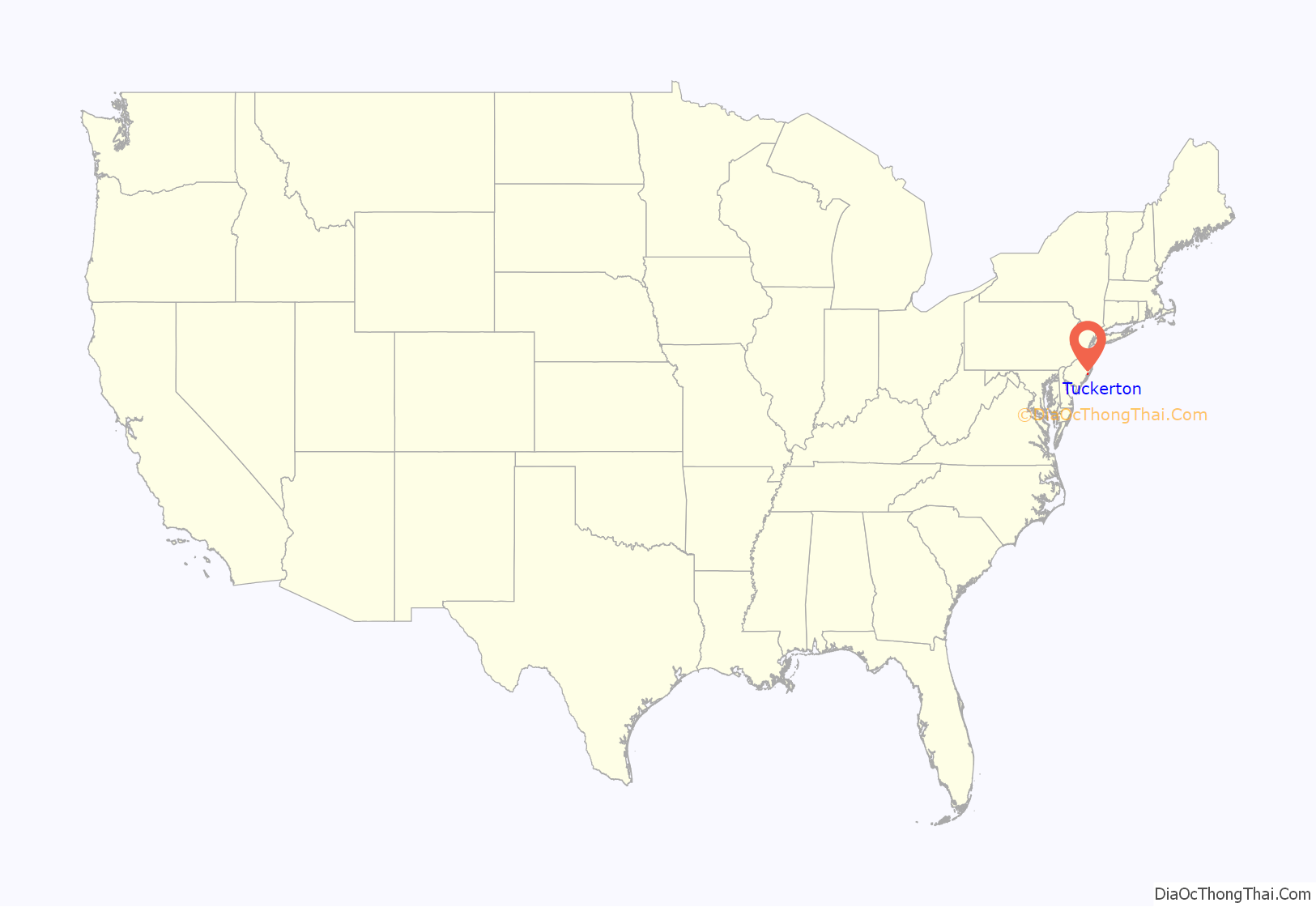
Tuckerton location map. Where is Tuckerton borough?
History
The area that is now Tuckerton was settled in 1698. Some of the early settlers were Andrews, Falkinburgs, Shourds, Ongs, Willets and Osborns. Edward Andrews, settled on the east side of Pohatcong Creek; his brother, Mordecai Andrews settled on the west side of the same creek. Edward, tired of going to Mount Holly Township with his grain, constructed a cedar log grist mill on the site of a dam built by beavers at the mouth of what is known as Tuckerton Creek. He built the grist mill in 1704, and it still stands to this day.
Tuckerton became a Port of Entry of the United States, but not the third port as is commonly believed. The community was named for founder Ebenezer Tucker (1758–1845), who was appointed Collector, his commission bearing the date March 21, 1791, signed by George Washington and Thomas Jefferson. Six years later, Tuckerton became a post-town with Reuben Tucker as its first postmaster.
Former names of the town included “Andrew Mills”, “Middle-of-the-Shore”, “Clamtown”, “Quakertown”, and “Fishtown”. In March 1789, Ebenezer Tucker hosted a feast at the then-named Clamtown for the residents, at which time they officially changed the name to Tuckerton.
In 1816, Isaac Jenkins established the first stage line between Tuckerton and Philadelphia, making one trip a week, each trip taking two days to travel each way. John D. Thompson bought the line in 1828 and ran the stages each way in a day and carried the mail. The stages and vessels were the only public conveyances to the cities until the Tuckerton Railroad was built in 1871.
What was probably New Jersey’s first summer resort was on Tucker’s Island offshore from Little Egg Harbor. The island sported boarding houses, private cottages, and a school. In 1848 a Lighthouse was erected there, with Eben Rider as its first lightkeeper. In 1869 the Little Egg Harbor Lifesaving’s Station was constructed there. Also known as Sea Haven, the island contained two hotels. The island was wiped away in a storm, including its lighthouse, which fell into the sea. At the Tuckerton Seaport Museum, a re-created lighthouse has been built as well as other re-created buildings that were on Tuckers Island. In the lighthouse, there are several wall-mounted pictures showing the instant that the original lighthouse fell into the sea. The original island remains underwater.
The area surrounding present-day Tuckerton was part of Burlington County until 1891 when it joined with Ocean County. Tuckerton was established in March 1901, with its first mayor being Frank R. Austin.
By the turn of the 1800s, Tuckerton was home to a robust downtown area of shops, boarding houses, and hotels. Around 1800, Ebenezer Tucker built the “Union House” on the corner of Main Street & Green Street, which served as a post office, stagecoach stop, and lodge. The Union House was later known as the “Carlton House”, which operated as an inn and tavern until it was destroyed by fire in 1964. The “Everett House” was built in the 1870s as a first-class temperance hotel to serve railroad passengers; the building, on Main Street between Green Street and Water Street, was demolished by the mid-20th Century. The Lakeside Hotel, situated on Main Street next to Lake Pohatcong, operated well into the 20th Century before its closure and demolition; a plaque commemorating World War I veterans on the side of the building was moved to its current site in Greenwood Cemetery.
The Tuckerton Methodist Episcopal Church was originally established in 1797. In 1868, the congregation broke ground on an elaborate Colonial-style church building featuring a slate-covered steeple, forged stained glass windows, a town clock, bell, and pipe organ. The building was constructed by shipwrights, as the boro was a bustling shipping and fishing village at the time.
In 1921, Reuben Gerber opened Gerber’s Department Store on Main Street. The store’s art deco interior was modeled after the Macy’s Herald Square flagship store in New York City. Gerber’s served as Tuckerton’s main general store and was an authorized dealership for early Ford vehicles. The building remains and is currently known as the “Tuckerton Emporium”, which houses a consortium of local vendors.
On May 7, 1979, a large wind-driven fire destroyed the century-old Tuckerton United Methodist Church, two stores, and several homes on Main Street, leaving 23 people homeless. The conflagration started in the Tuckerton Variety Store on 25 W. Main Street and spread to a vacant storefront and two second-floor apartments next door; 20-mph sea breeze winds carried embers 200 yards to the church, which quickly burned out of control. The embers also ignited fires in five homes on N. Green Street and several brush fires, all of which were quickly extinguished. Eighteen fire departments from Ocean and Burlington counties responded to the blaze.
Tuckerton received extensive damage after Superstorm Sandy struck the borough on October 28, 2012. Almost 300 homes suffered extensive damage, while 32 homes were completely destroyed. Floodwaters also ravaged businesses along South Green Street and flooded some buildings in the Tuckerton Seaport.
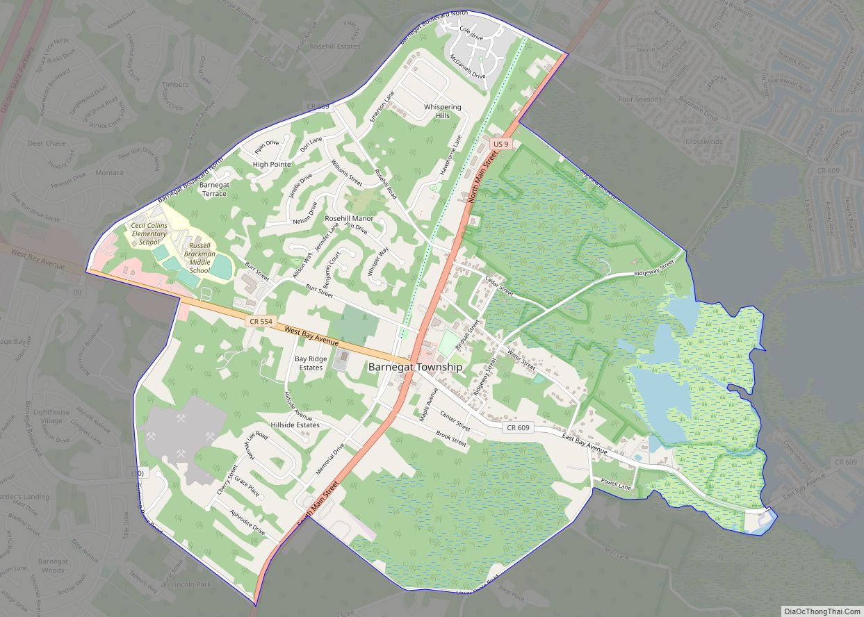
Tuckerton Road Map
Tuckerton city Satellite Map
Geography
According to the United States Census Bureau, the borough had a total area of 3.81 square miles (9.87 km), including 3.36 square miles (8.71 km) of land and 0.45 square miles (1.16 km) of water (11.76%).
The borough borders the Ocean County municipality of Little Egg Harbor Township.
Climate
The climate in this area is characterized by hot, humid summers and generally mild to cool winters. According to the Köppen Climate Classification system, Tuckerton has a humid subtropical climate, abbreviated “Cfa” on climate maps.
See also
Map of New Jersey State and its subdivision: Map of other states:- Alabama
- Alaska
- Arizona
- Arkansas
- California
- Colorado
- Connecticut
- Delaware
- District of Columbia
- Florida
- Georgia
- Hawaii
- Idaho
- Illinois
- Indiana
- Iowa
- Kansas
- Kentucky
- Louisiana
- Maine
- Maryland
- Massachusetts
- Michigan
- Minnesota
- Mississippi
- Missouri
- Montana
- Nebraska
- Nevada
- New Hampshire
- New Jersey
- New Mexico
- New York
- North Carolina
- North Dakota
- Ohio
- Oklahoma
- Oregon
- Pennsylvania
- Rhode Island
- South Carolina
- South Dakota
- Tennessee
- Texas
- Utah
- Vermont
- Virginia
- Washington
- West Virginia
- Wisconsin
- Wyoming
