Westville is a borough in Gloucester County, in the U.S. state of New Jersey. As of the 2020 United States census, the borough’s population was 4,264, a decrease of 24 (−0.6%) from the 2010 census count of 4,288, which in turn reflected a decline of 212 (−4.7%) from the 4,500 counted in the 2000 census. Westville has been called “The Gateway to South Jersey!”
Westville was formed as a borough by an act of the New Jersey Legislature on April 7, 1914, from portions of Deptford Township and West Deptford Township, based on the results of a referendum held on April 28, 1914. The borough was reincorporated on March 8, 1924. Legislation had been passed in 1900 to create Westville, but it had to have a majority vote in favor of the new municipality in both Deptford and West Deptford. The borough was named for Thomas West, who built a home in the area in 1775 that still stands.
The borough had the 17th-highest property tax rate in New Jersey, with an equalized rate of 4.502% in 2020, compared to 3.212% in the county as a whole and a statewide average of 2.279%.
| Name: | Westville borough |
|---|---|
| LSAD Code: | 21 |
| LSAD Description: | borough (suffix) |
| State: | New Jersey |
| County: | Gloucester County |
| Incorporated: | April 28, 1914 |
| Elevation: | 23 ft (7 m) |
| Total Area: | 1.38 sq mi (3.58 km²) |
| Land Area: | 1.02 sq mi (2.65 km²) |
| Water Area: | 0.36 sq mi (0.93 km²) 25.94% |
| Total Population: | 4,264 |
| Population Density: | 4,165.2/sq mi (1,608.2/km²) |
| ZIP code: | 08093 |
| Area code: | 856 |
| FIPS code: | 3480120 |
| GNISfeature ID: | 0885440 |
| Website: | westville-nj.com |
Online Interactive Map
Click on ![]() to view map in "full screen" mode.
to view map in "full screen" mode.
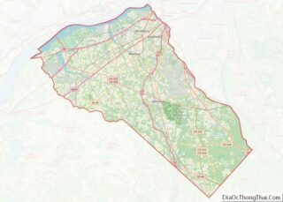
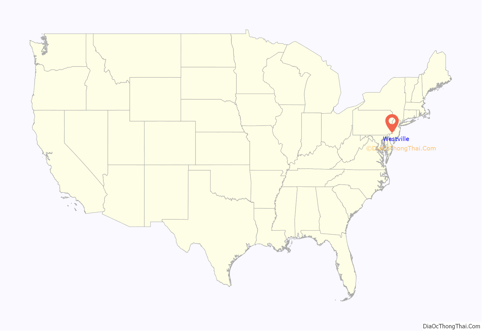
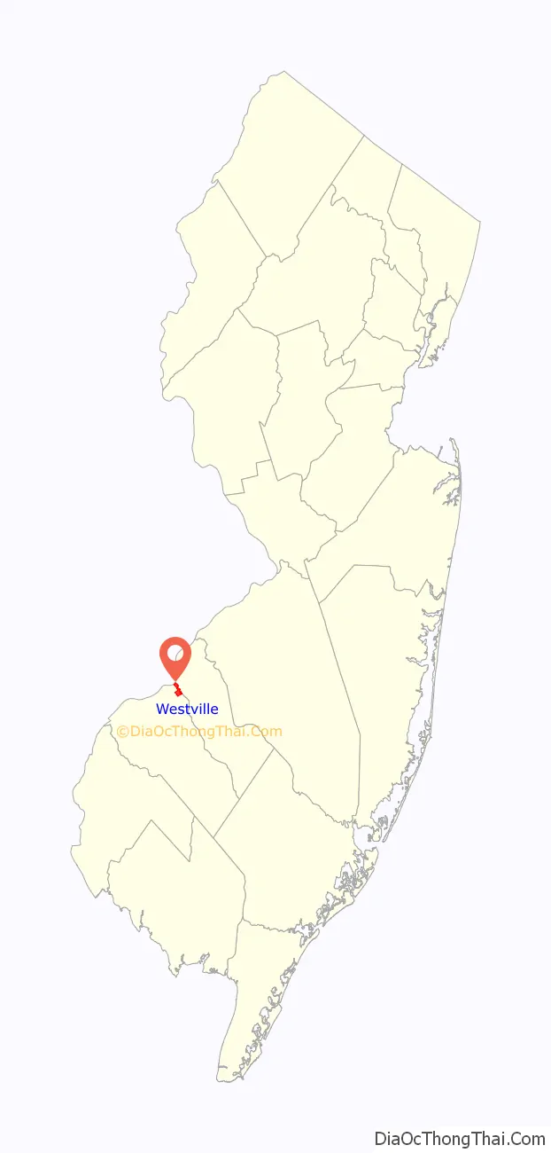
Westville location map. Where is Westville borough?
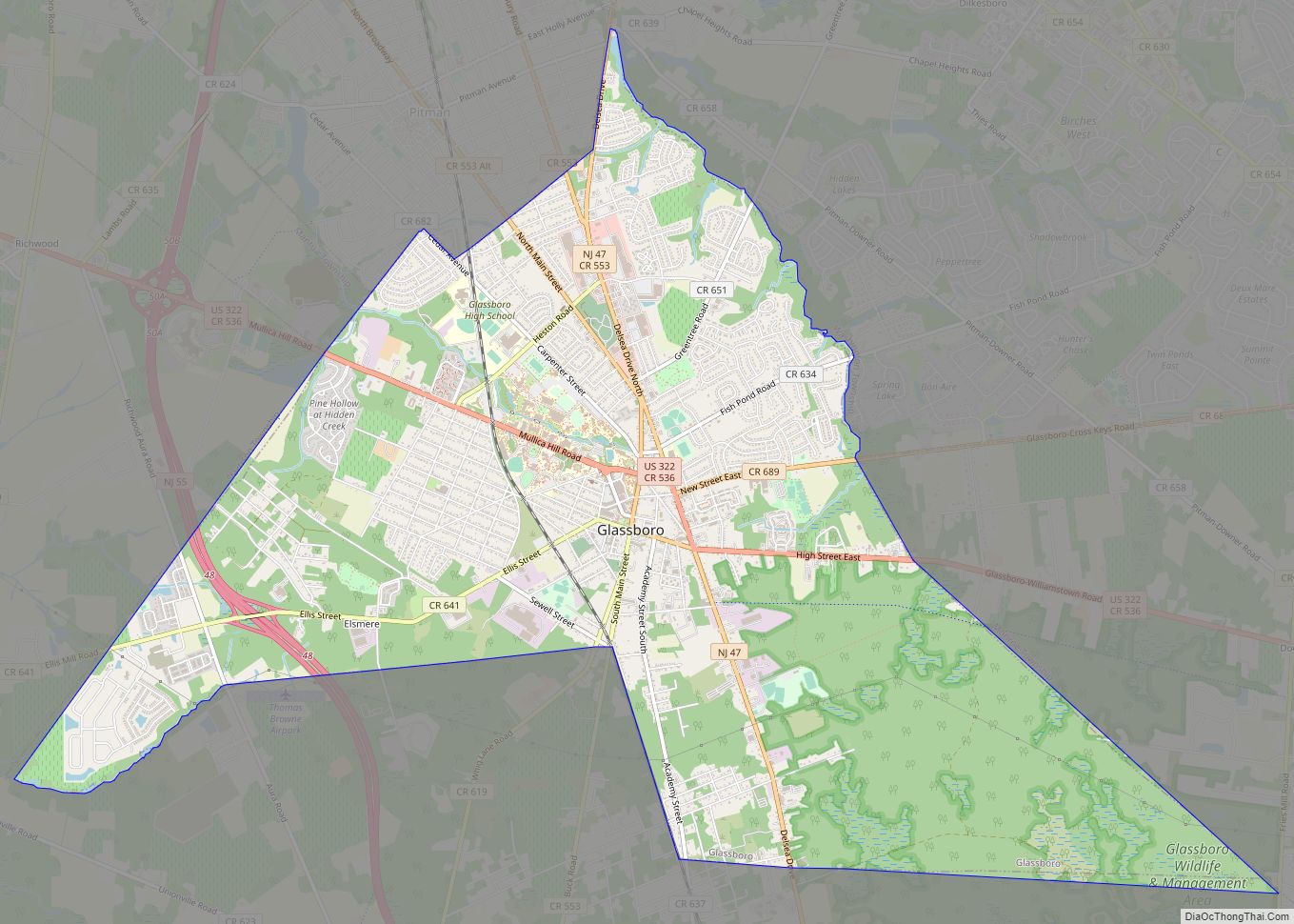
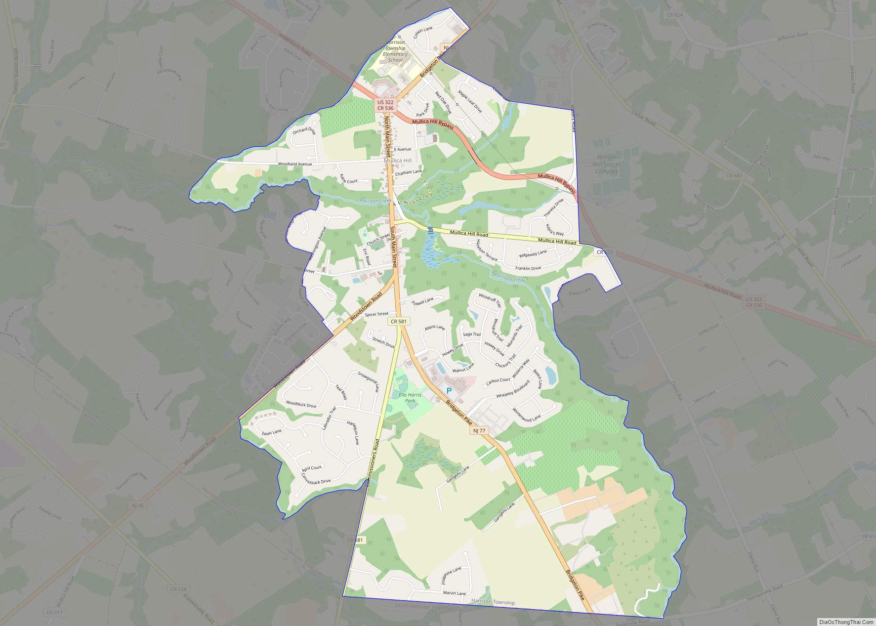
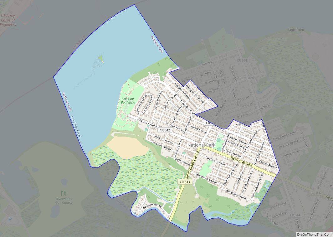
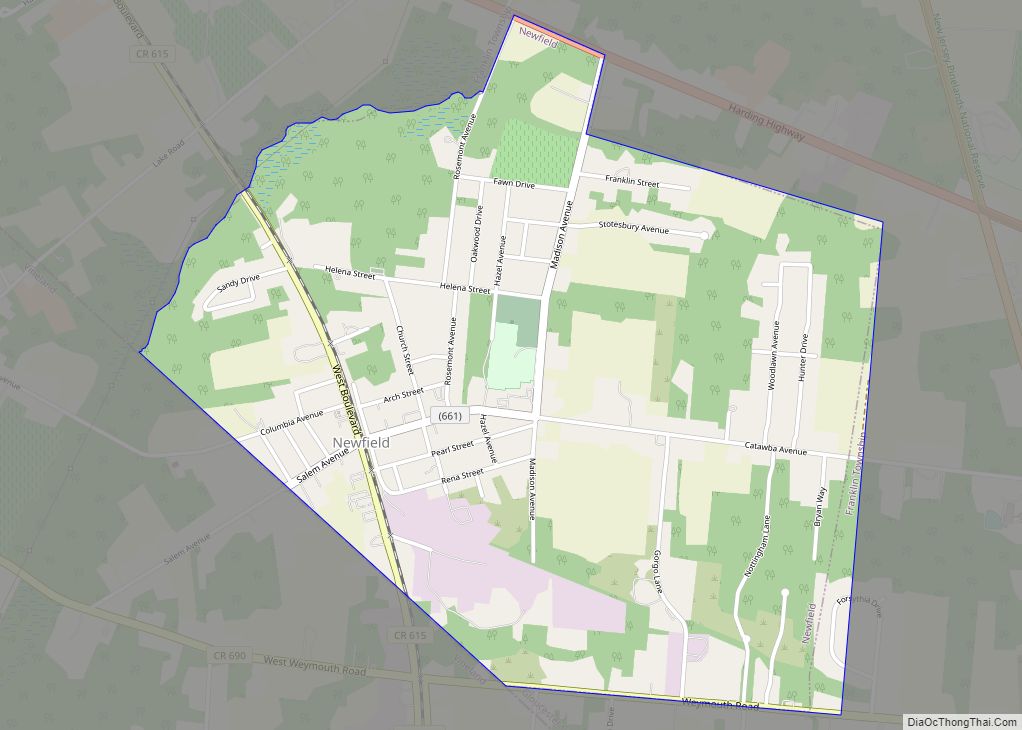
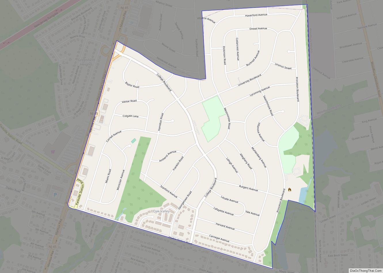
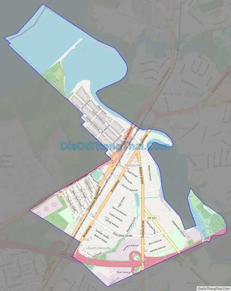
Westville Road Map
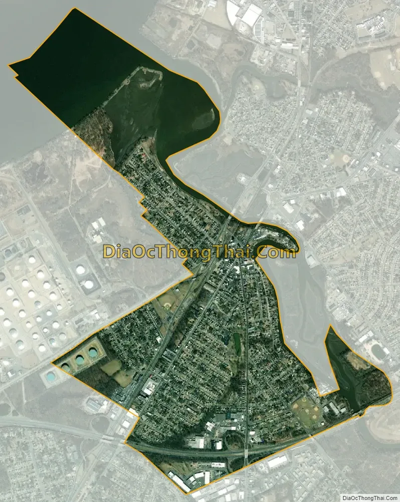
Westville city Satellite Map
Geography
According to the U.S. Census Bureau, the borough had a total area of 1.38 square miles (3.58 km), including 1.02 square miles (2.65 km) of land and 0.36 square miles (0.93 km) of water (25.94%). Unincorporated communities, localities and place names located partially or completely within the borough include Newbold, South Westville and Westville Manor.
The borough borders the municipalities of Deptford Township and West Deptford Township in Gloucester County, Bellmawr, Brooklawn, and Gloucester City in Camden County, and Philadelphia, located across the Delaware River in Pennsylvania.
See also
Map of New Jersey State and its subdivision: Map of other states:- Alabama
- Alaska
- Arizona
- Arkansas
- California
- Colorado
- Connecticut
- Delaware
- District of Columbia
- Florida
- Georgia
- Hawaii
- Idaho
- Illinois
- Indiana
- Iowa
- Kansas
- Kentucky
- Louisiana
- Maine
- Maryland
- Massachusetts
- Michigan
- Minnesota
- Mississippi
- Missouri
- Montana
- Nebraska
- Nevada
- New Hampshire
- New Jersey
- New Mexico
- New York
- North Carolina
- North Dakota
- Ohio
- Oklahoma
- Oregon
- Pennsylvania
- Rhode Island
- South Carolina
- South Dakota
- Tennessee
- Texas
- Utah
- Vermont
- Virginia
- Washington
- West Virginia
- Wisconsin
- Wyoming