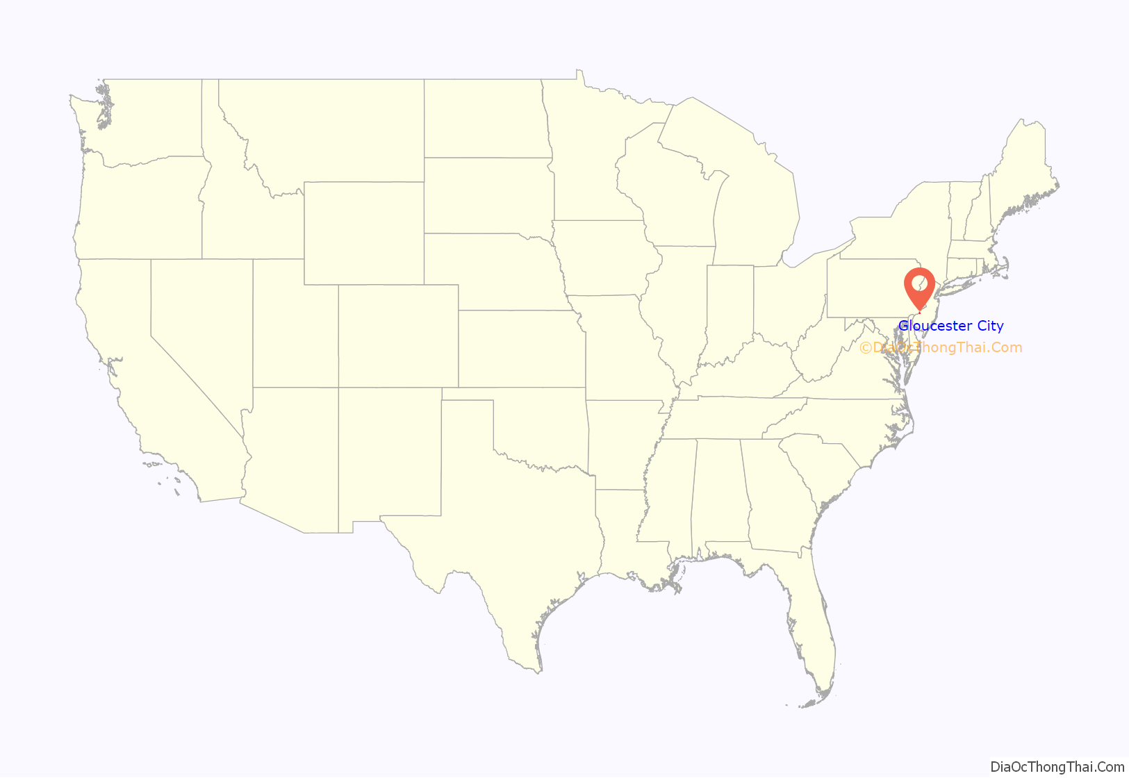
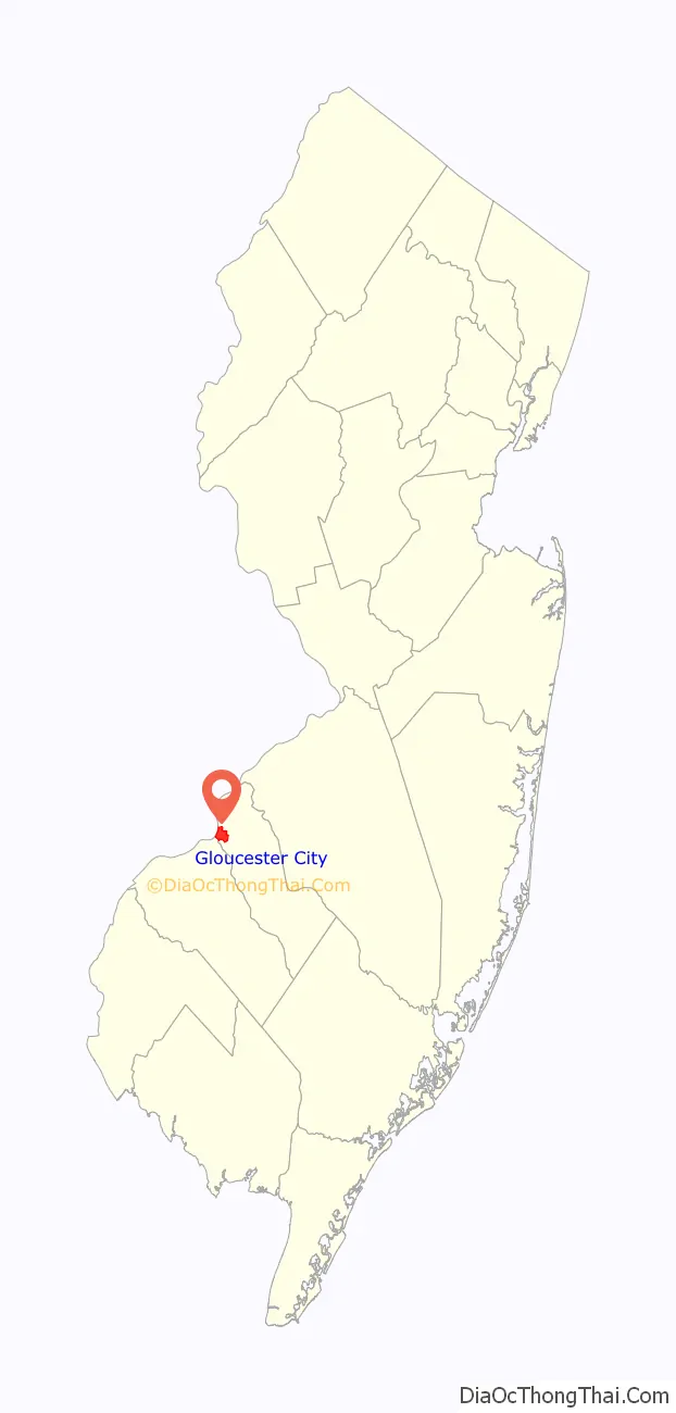
Gloucester City is a city in Camden County, in the U.S. state of New Jersey. As of the 2020 United States census, the city’s population was 11,484, an increase of 28 (+0.2%) from the 2010 census count of 11,456, which in turn reflected a decline of 28 (−0.2%) from the 11,484 counted in the 2000 census. It is located directly across the Delaware River from Philadelphia and the Port of Philadelphia.
Gloucester City was incorporated by an act of the New Jersey Legislature on February 25, 1868, from the remaining portions of Union Township, which was then dissolved. Additional territory was annexed in 1925 from Centre Township and in 1927 from Haddon Township. The city’s name derives from Gloucester, England.
Gloucester City is known for its Irish American population, which was ninth-highest in the United States by percentage in the 2000 Census.
The city had the 23rd-highest property tax rate in New Jersey, with an equalized rate of 4.343% in 2020, compared to 3.470% in the county as a whole and a statewide average of 2.279%.
| Name: | Gloucester City city |
|---|---|
| LSAD Code: | 25 |
| LSAD Description: | city (suffix) |
| State: | New Jersey |
| County: | Camden County |
| Incorporated: | February 25, 1868 |
| Elevation: | 23 ft (7 m) |
| Total Area: | 2.76 sq mi (7.15 km²) |
| Land Area: | 2.31 sq mi (6.00 km²) |
| Water Area: | 0.45 sq mi (1.16 km²) 16.41% |
| Total Population: | 11,484 |
| Population Density: | 4,960.7/sq mi (1,915.3/km²) |
| Area code: | 856 exchanges: 456, 742 |
| FIPS code: | 3426820 |
| GNISfeature ID: | 0885234 |
| Website: | www.cityofgloucester.org |
Online Interactive Map
Click on ![]() to view map in "full screen" mode.
to view map in "full screen" mode.
Gloucester City location map. Where is Gloucester City city?
History
The name Fort Nassau was used by the Dutch in the 17th century for several fortifications, mostly trading stations, named for the House of Orange-Nassau. The one built in the 1620s at today’s Gloucester City was for trade, mostly in beaver pelts, with the indigenous population of Susquehannock and Lenape. The region along the Delaware River and its bay was called the Zuyd Rivier and marked the southern flank of the province of New Netherland.
From 1638 to 1655 the area was part of New Sweden, which had been established by Peter Minuit, who had been Director of New Netherland, and was responsible for the famous purchase of the island of Manhattan. The location was disadvantageous since the richest fur-trapping area was on the west side of the river, where Swedish could intercept trade with the natives. In 1651, Peter Stuyvesant, director-general of New Netherland, dismantled the structure and relocated to a position on the other side of the river, in part to menace the Swedish, calling it Fort Casimir.
After the arrival of English Quakers on the Delaware, in 1677, a permanent settlement, at first called Axwamus, was established on the site of the present city. This was surveyed and laid out as a town in 1689. In 1868 it was chartered as a city.
Gloucester City Road Map

Gloucester City city Satellite Map

Geography
According to the United States Census Bureau, the city had a total area of 2.76 square miles (7.15 km), including 2.31 square miles (5.98 km) of land and 0.45 square miles (1.17 km) of water (16.41%).
Unincorporated communities, localities and place names located partially or completely within the city include Cloversdale, Gloucester Heights, Highland Park and Newbold.
The city borders the municipalities of Bellmawr, Brooklawn, Camden, Haddon Township, and Mount Ephraim. Gloucester City also borders Westville in Gloucester County and the city of Philadelphia in Pennsylvania, across the Delaware River.
See also
Map of New Jersey State and its subdivision: Map of other states:- Alabama
- Alaska
- Arizona
- Arkansas
- California
- Colorado
- Connecticut
- Delaware
- District of Columbia
- Florida
- Georgia
- Hawaii
- Idaho
- Illinois
- Indiana
- Iowa
- Kansas
- Kentucky
- Louisiana
- Maine
- Maryland
- Massachusetts
- Michigan
- Minnesota
- Mississippi
- Missouri
- Montana
- Nebraska
- Nevada
- New Hampshire
- New Jersey
- New Mexico
- New York
- North Carolina
- North Dakota
- Ohio
- Oklahoma
- Oregon
- Pennsylvania
- Rhode Island
- South Carolina
- South Dakota
- Tennessee
- Texas
- Utah
- Vermont
- Virginia
- Washington
- West Virginia
- Wisconsin
- Wyoming


