Anton Chico, or Anton Chico Abajo or Anton Chico de Abajo, is a census-designated place in Guadalupe County, New Mexico, United States. Its population was 188 as of the 2010 census, of which 167 were Hispanic in origin. Anton Chico has a post office with ZIP code 87711. New Mexico State Road 386 passes through the community. Anton Chico is listed in the National Register of Historic Places.
| Name: | Anton Chico CDP |
|---|---|
| LSAD Code: | 57 |
| LSAD Description: | CDP (suffix) |
| State: | New Mexico |
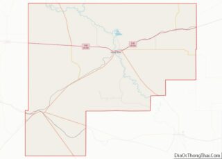
| County: | Guadalupe County |
| Elevation: | 5,253 ft (1,601 m) |
| Total Area: | 1.79 sq mi (4.63 km²) |
| Land Area: | 1.79 sq mi (4.63 km²) |
| Water Area: | 0.00 sq mi (0.00 km²) |
| Total Population: | 161 |
| Population Density: | 90.15/sq mi (34.81/km²) |
| ZIP code: | 87711 |
| Area code: | 575 |
| FIPS code: | 3503890 |
| GNISfeature ID: | 903205 |
Online Interactive Map
Click on ![]() to view map in "full screen" mode.
to view map in "full screen" mode.
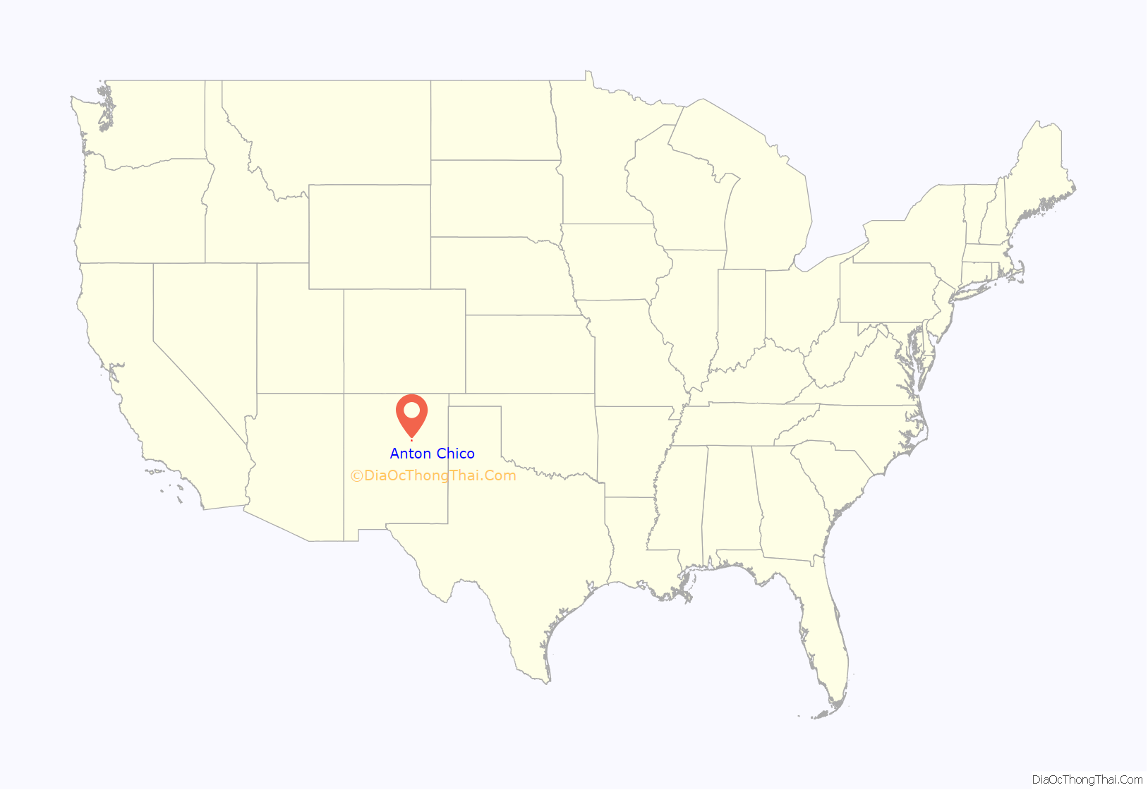
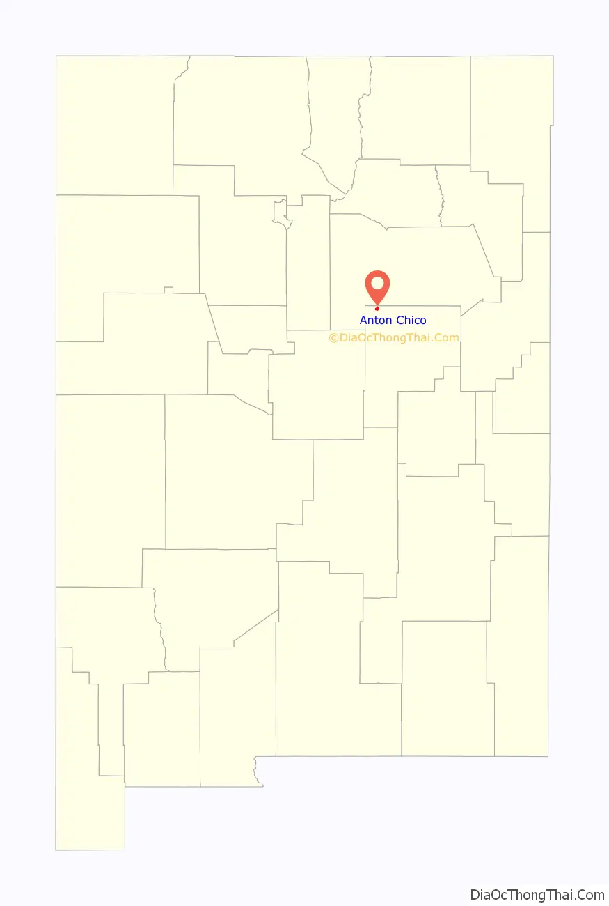
Anton Chico location map. Where is Anton Chico CDP?
History
Prior to 1786, when a peace treaty was concluded with the Comanches, Spanish settlements in New Mexico were confined to the Rio Grande valley and nearby. The reduced threat from the Comanches, the most numerous and dangerous of the Indian peoples surrounding the New Mexican settlements, permitted the expansion of the Spanish eastward into the Pecos River valley and onto the Great Plains. The motivation for the Pecos Valley settlements was the growing population of New Mexico plus the need to defend the Spanish and Puebloan settlements in the Rio Grande valley from raids by Apache and other Indian peoples.
In 1822 the government of New Mexico created the Anton Chico Land Grant, 378,537 acres (153,188 ha) in size. Salvador Tapia and 36 others petitioned the government for the grant. In exchange they promised to take up residence in the grant area, to hold the land in common for themselves and future settlers, and to obtain firearms and bows and arrows to defend the settlement against Indian attacks. The initial settlers came to Anton Chico from La Cuesta (now called Villanueva), 20 kilometres (12 mi) upstream on the Pecos River. However, Indian raids caused the abandonment of the settlement in 1827. Anton Chico was resettled in 1834, this time with success
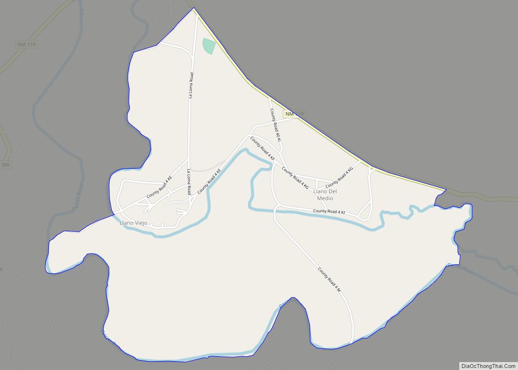
Seven settlements grew along 12 kilometres (7.5 mi) of the Pecos River. From north to south (upstream to downstream) they were Tecolotito, Upper Anton Chico, Anton Chico, Llano Viejo, La Loma, Llano del Medio, Dilia, and Colonias. Anton Chico is the largest settlement of the seven. It was described in 1841-1842 as having a population of 200 to 300 people and built around a plaza designed for defense. The houses, surrounded by high walls, were described as follows:
As one of the closest New Mexican settlements to the Great Plains with its bison herds and Plains Indians, many Ciboleros (bison hunters) and Comancheros (traders with the Plains Indians) originated from Anton Chico and other Hispano communities along the Pecos River in the 19th century.
Anton Chico achieved its maximum prominence about 1890 when it had a population of 900 people, all or nearly all Hispanic, and was a mercantile center for much of eastern New Mexico. Subsequently, with out-migration the population and economic activity declined. A factor in its decline was the re-routing of Route 66 which before 1937 crossed the Pecos River near Anton Chico. Subsequently, Anton Chico was distant from major transportation routes.
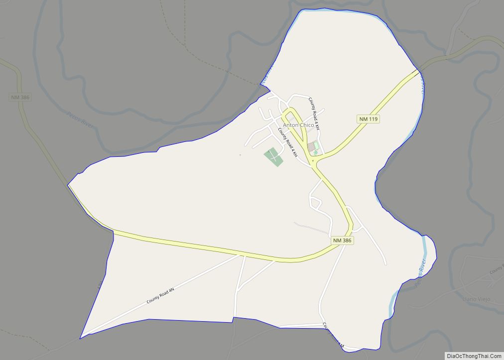
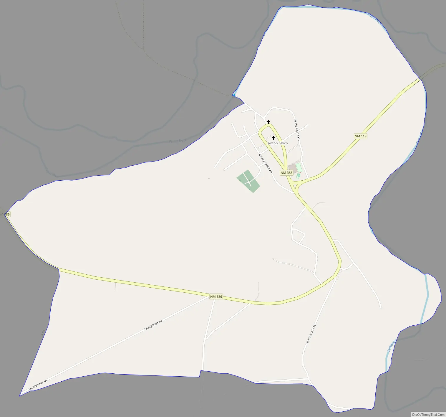
Anton Chico Road Map
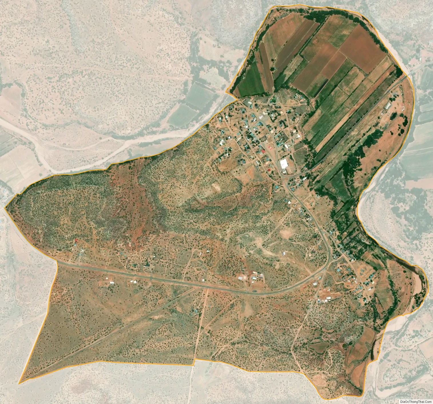
Anton Chico city Satellite Map
Geography
Anton Chico is located at 35°11′42″N 105°08′38″W / 35.194866°N 105.143895°W / 35.194866; -105.143895. According to the U.S. Census Bureau, the community has an area of 1.784 square miles (4.62 km), all land.
In 1958 tin roofs rather than adobe were on the majority of houses.
See also
Map of New Mexico State and its subdivision: Map of other states:- Alabama
- Alaska
- Arizona
- Arkansas
- California
- Colorado
- Connecticut
- Delaware
- District of Columbia
- Florida
- Georgia
- Hawaii
- Idaho
- Illinois
- Indiana
- Iowa
- Kansas
- Kentucky
- Louisiana
- Maine
- Maryland
- Massachusetts
- Michigan
- Minnesota
- Mississippi
- Missouri
- Montana
- Nebraska
- Nevada
- New Hampshire
- New Jersey
- New Mexico
- New York
- North Carolina
- North Dakota
- Ohio
- Oklahoma
- Oregon
- Pennsylvania
- Rhode Island
- South Carolina
- South Dakota
- Tennessee
- Texas
- Utah
- Vermont
- Virginia
- Washington
- West Virginia
- Wisconsin
- Wyoming