Dixon is an unincorporated community located in Rio Arriba County, New Mexico, United States, on New Mexico State Road 75, just east of New Mexico State Road 68, in the north-central part of the state, and is approximately 20 miles (32 km) southwest of Taos. The elevation of Dixon is 6,028 feet (1,837 m) above sea level. It is on the banks of the Embudo Creek, a tributary of the Rio Grande. Embudo Creek flows into the Rio Grande two miles (3.2 km) downstream from Dixon. The town is home to the largest population of organic farmers in the state, as well as several wineries.
According to the 2010 Census the population is 926, with 70% of residents identifying as Hispanic. Many non-Hispanics have made their homes here since the mid-1960s.
| Name: | Dixon CDP |
|---|---|
| LSAD Code: | 57 |
| LSAD Description: | CDP (suffix) |
| State: | New Mexico |
| County: | Rio Arriba County |
| Elevation: | 6,028 ft (1,837 m) |
| Total Area: | 11.61 sq mi (30.06 km²) |
| Land Area: | 11.53 sq mi (29.87 km²) |
| Water Area: | 0.07 sq mi (0.19 km²) |
| Total Population: | 938 |
| Population Density: | 81.32/sq mi (31.40/km²) |
| ZIP code: | 87527 |
| FIPS code: | 3520830 |
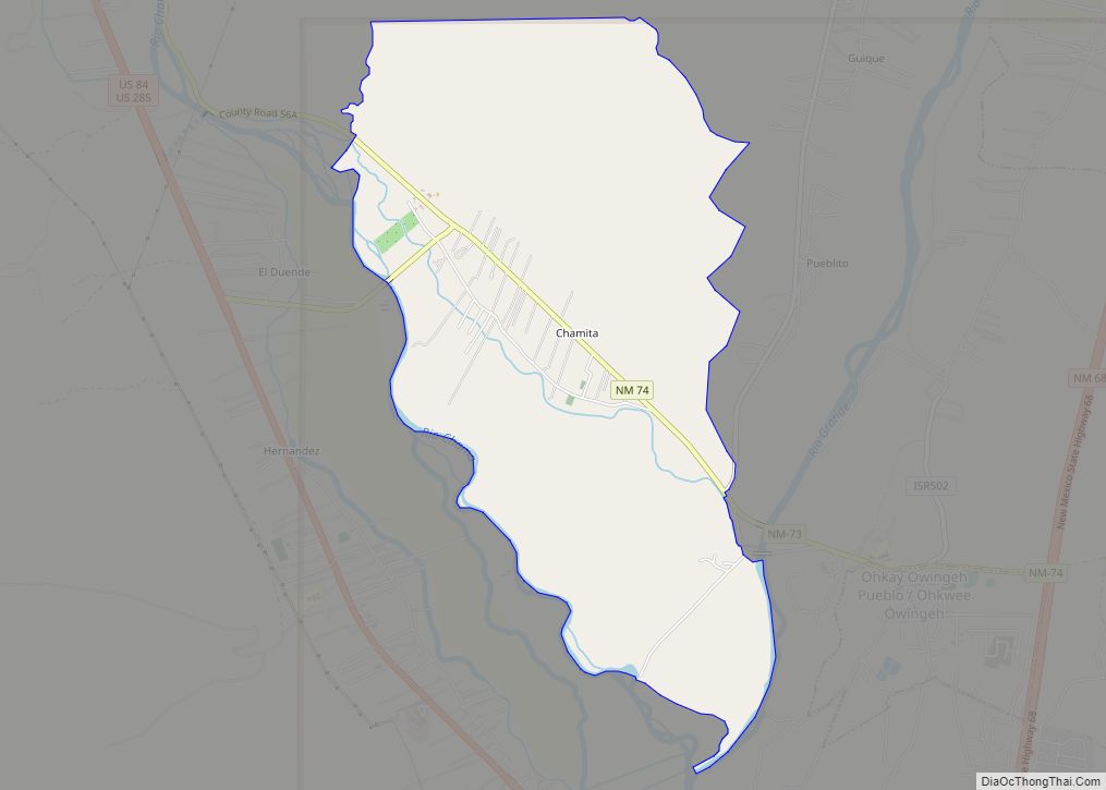
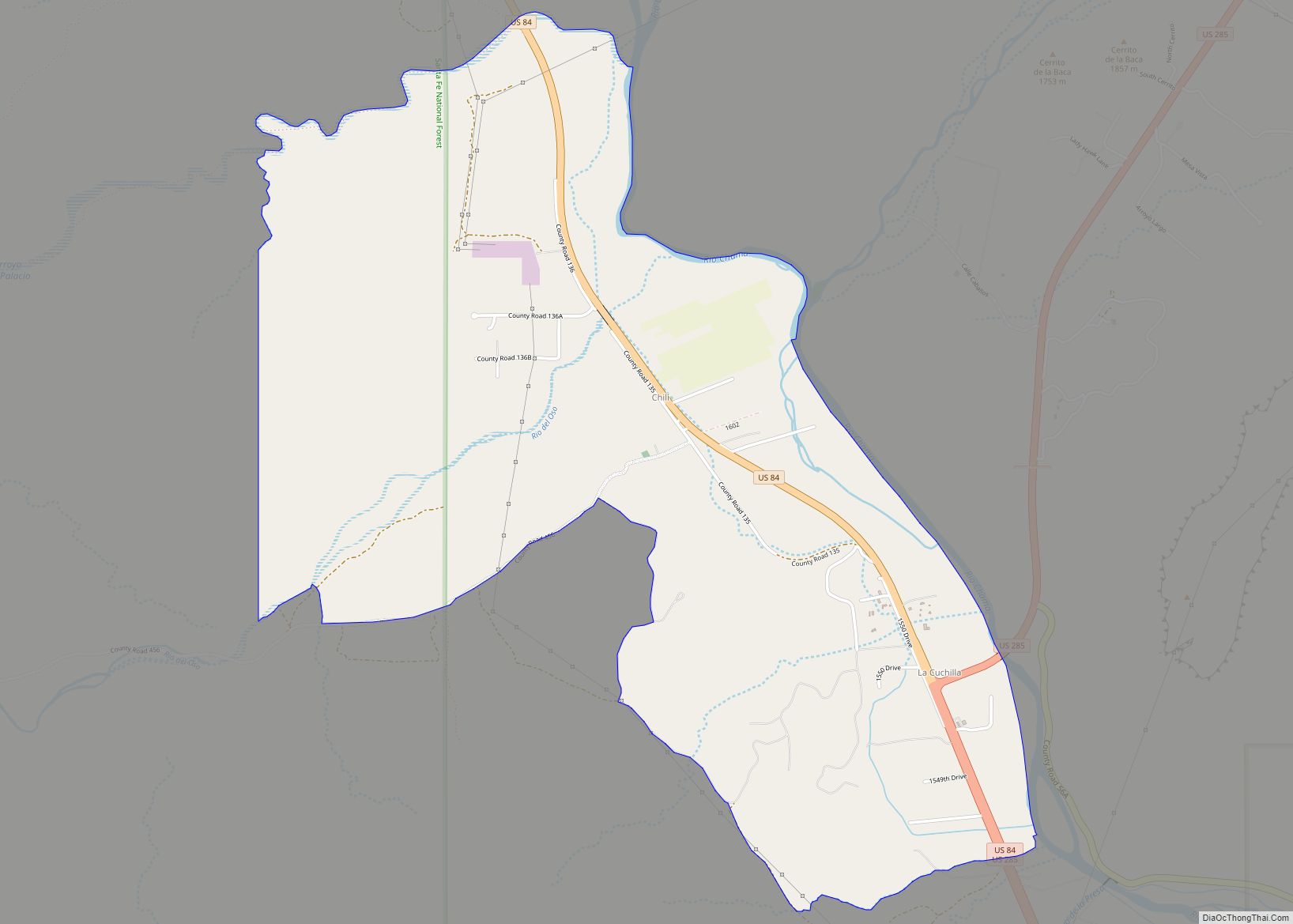
Online Interactive Map
Click on ![]() to view map in "full screen" mode.
to view map in "full screen" mode.
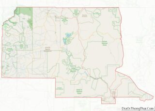
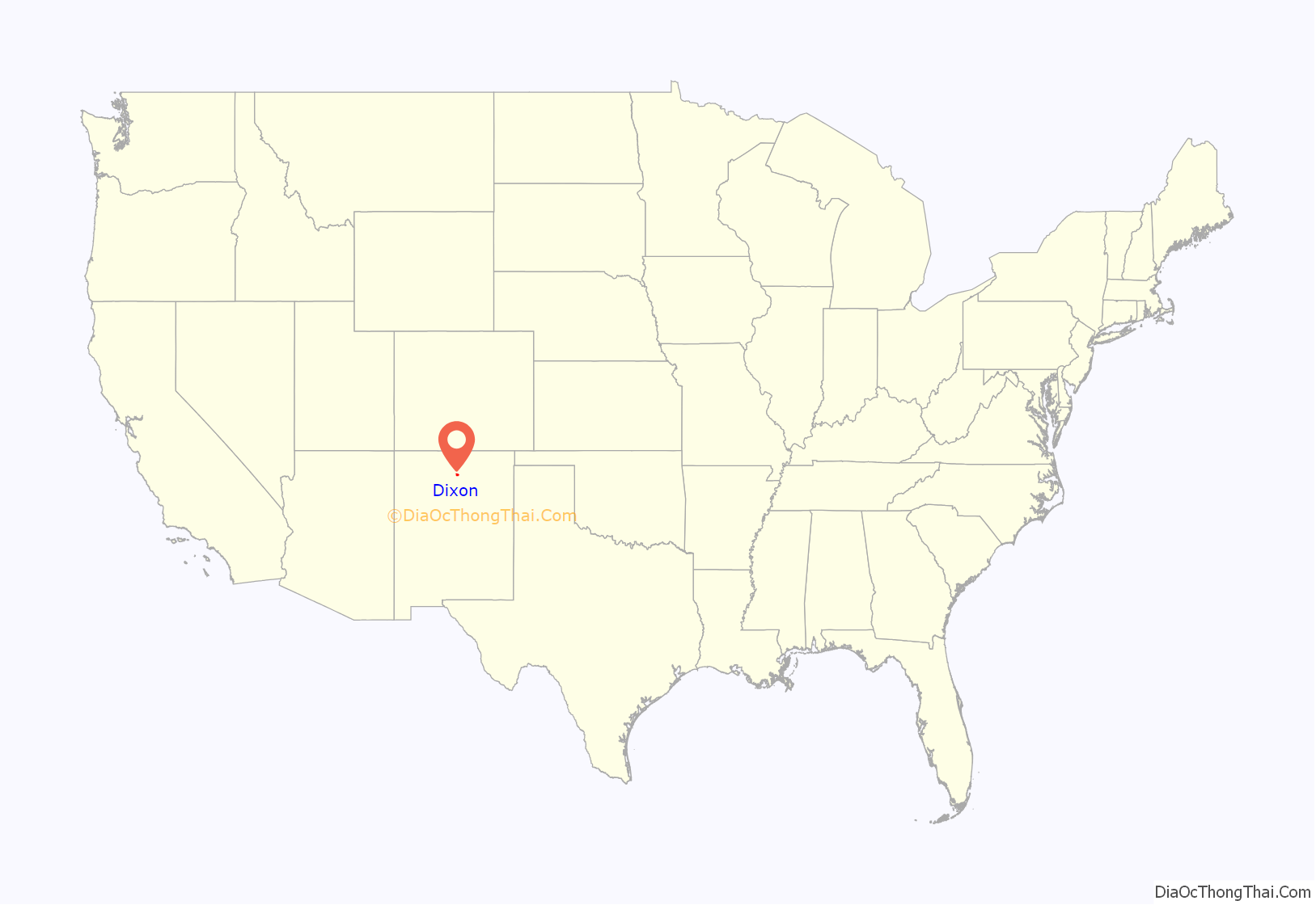
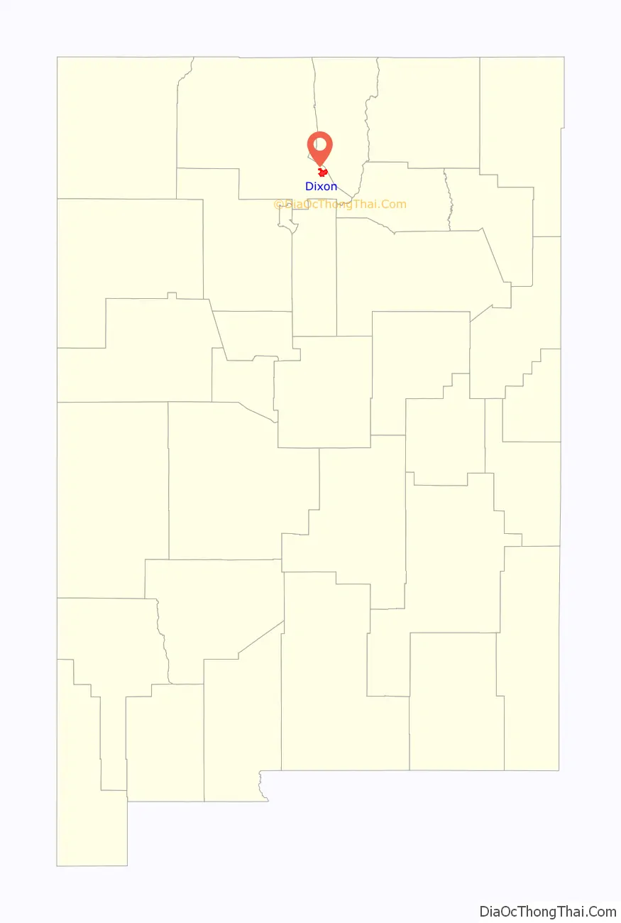
Dixon location map. Where is Dixon CDP?
History
The area was inhabited by Tiwa peoples from nearby Picuris Pueblo, then settled by Spanish colonists under the 1725 Embudo Land Grant. The original name was El Puerto del Embudo de Nuestro Señor San Antonio and the grant was made in 1725, to Francisco Martín, Lázaro Córdova and Juan Márquez. The acequias (irrigation canals) were the first public works project of any land grant, so they were started immediately after settlement, on September 20, 1725, and there are 10 Historic Acequias with senior water rights on the Embudo River and one with junior water rights. On the Rio Grande there are two with senior rights and two with junior water rights. The aldea was known as San Antonio del Embudo until around 1900 when a post office was established and the name was changed to Dixon, reputedly to honor Collins Dixon, a school teacher who taught here in the late 19th century; one tradition has him being a Civil War army deserter; his descendants live around nearby Española.
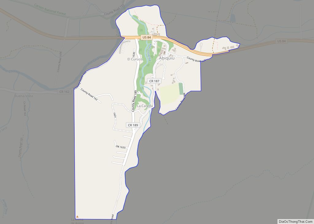
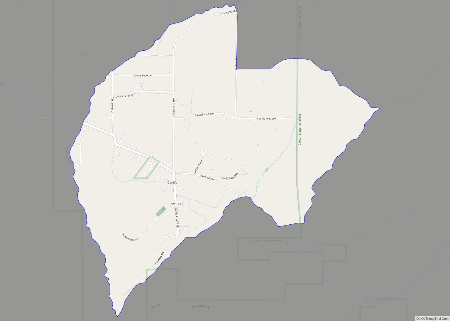
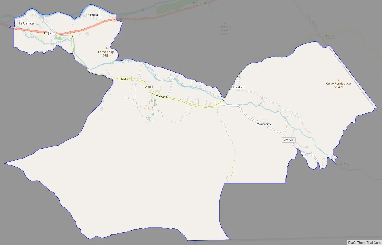
Dixon Road Map
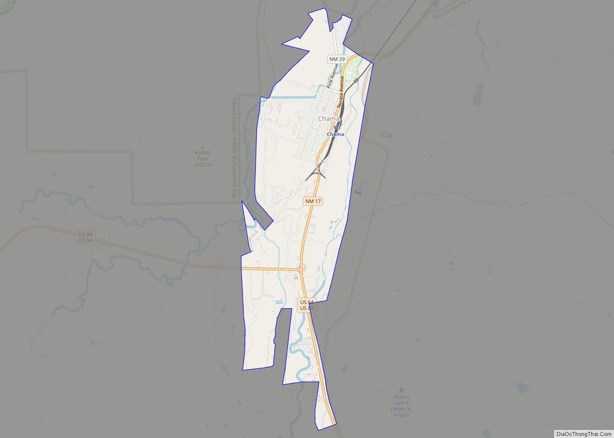
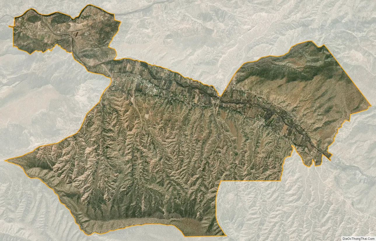
Dixon city Satellite Map
See also
Map of New Mexico State and its subdivision: Map of other states:- Alabama
- Alaska
- Arizona
- Arkansas
- California
- Colorado
- Connecticut
- Delaware
- District of Columbia
- Florida
- Georgia
- Hawaii
- Idaho
- Illinois
- Indiana
- Iowa
- Kansas
- Kentucky
- Louisiana
- Maine
- Maryland
- Massachusetts
- Michigan
- Minnesota
- Mississippi
- Missouri
- Montana
- Nebraska
- Nevada
- New Hampshire
- New Jersey
- New Mexico
- New York
- North Carolina
- North Dakota
- Ohio
- Oklahoma
- Oregon
- Pennsylvania
- Rhode Island
- South Carolina
- South Dakota
- Tennessee
- Texas
- Utah
- Vermont
- Virginia
- Washington
- West Virginia
- Wisconsin
- Wyoming