Duran is a census-designated place in Torrance County, New Mexico, United States. Duran is located at the junction of U.S. Route 54 and New Mexico State Road 3, 14 miles (23 km) southwest of Vaughn. As of the 2010 census, its population was 35.
| Name: | Duran CDP |
|---|---|
| LSAD Code: | 57 |
| LSAD Description: | CDP (suffix) |
| State: | New Mexico |
| County: | Torrance County |
| Elevation: | 6,276 ft (1,913 m) |
| Total Area: | 4.69 sq mi (12.15 km²) |
| Land Area: | 4.69 sq mi (12.15 km²) |
| Water Area: | 0.00 sq mi (0.00 km²) |
| Total Population: | 44 |
| Population Density: | 9.38/sq mi (3.62/km²) |
| Area code: | 575 |
| FIPS code: | 3521810 |
| GNISfeature ID: | 898762 |
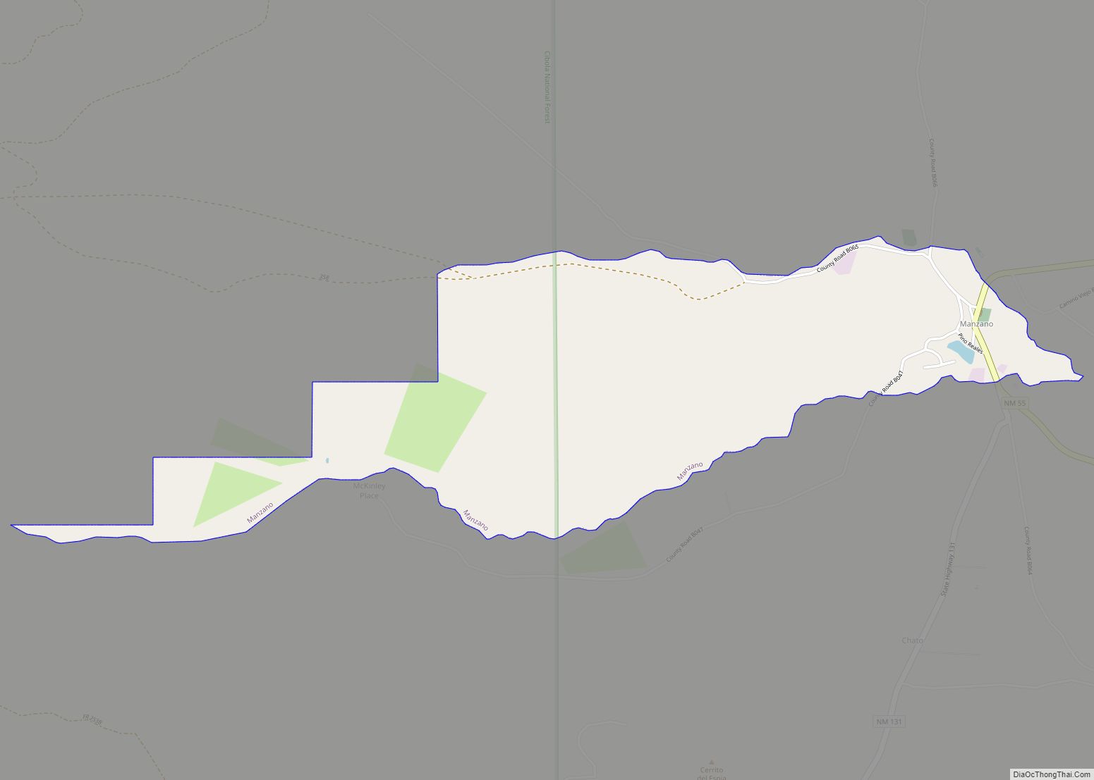
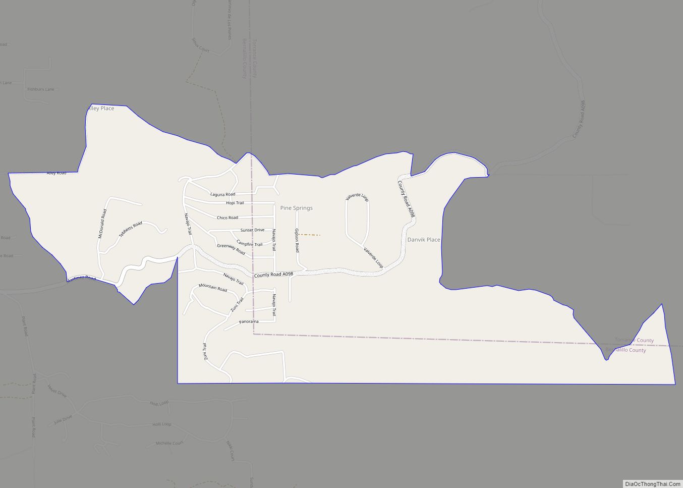
Online Interactive Map
Click on ![]() to view map in "full screen" mode.
to view map in "full screen" mode.
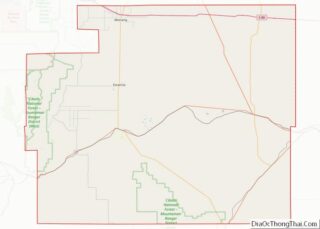
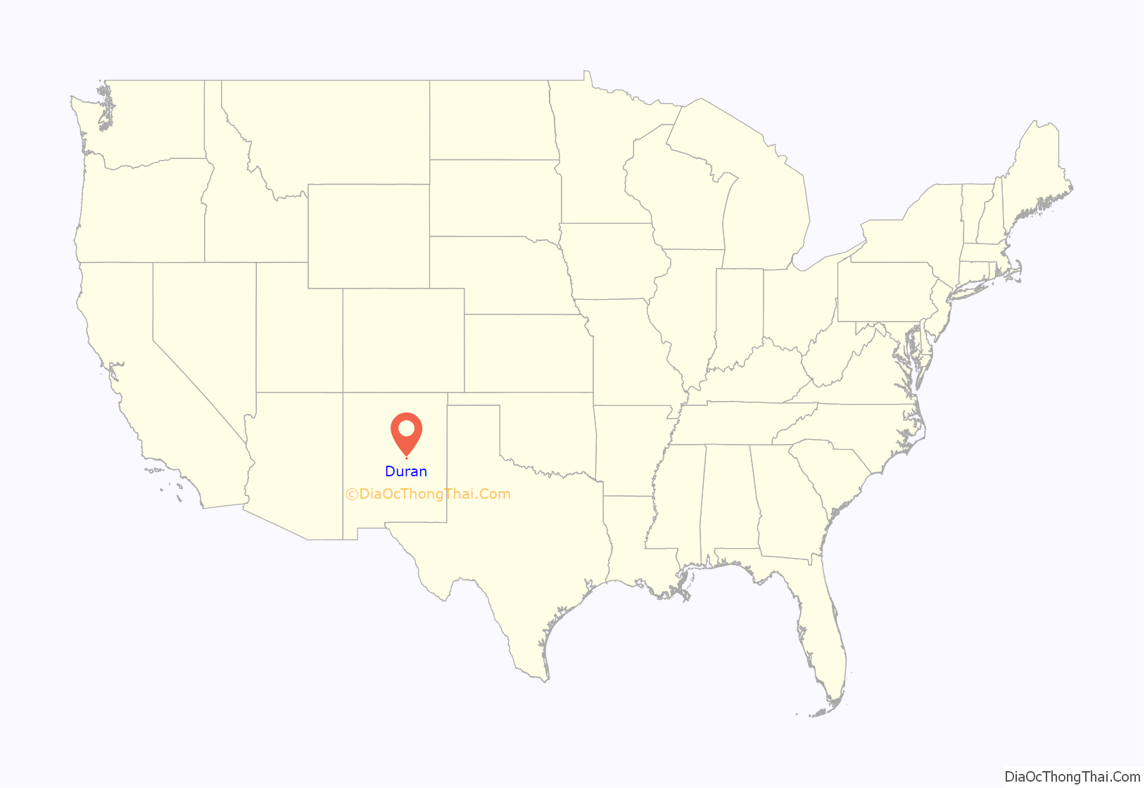
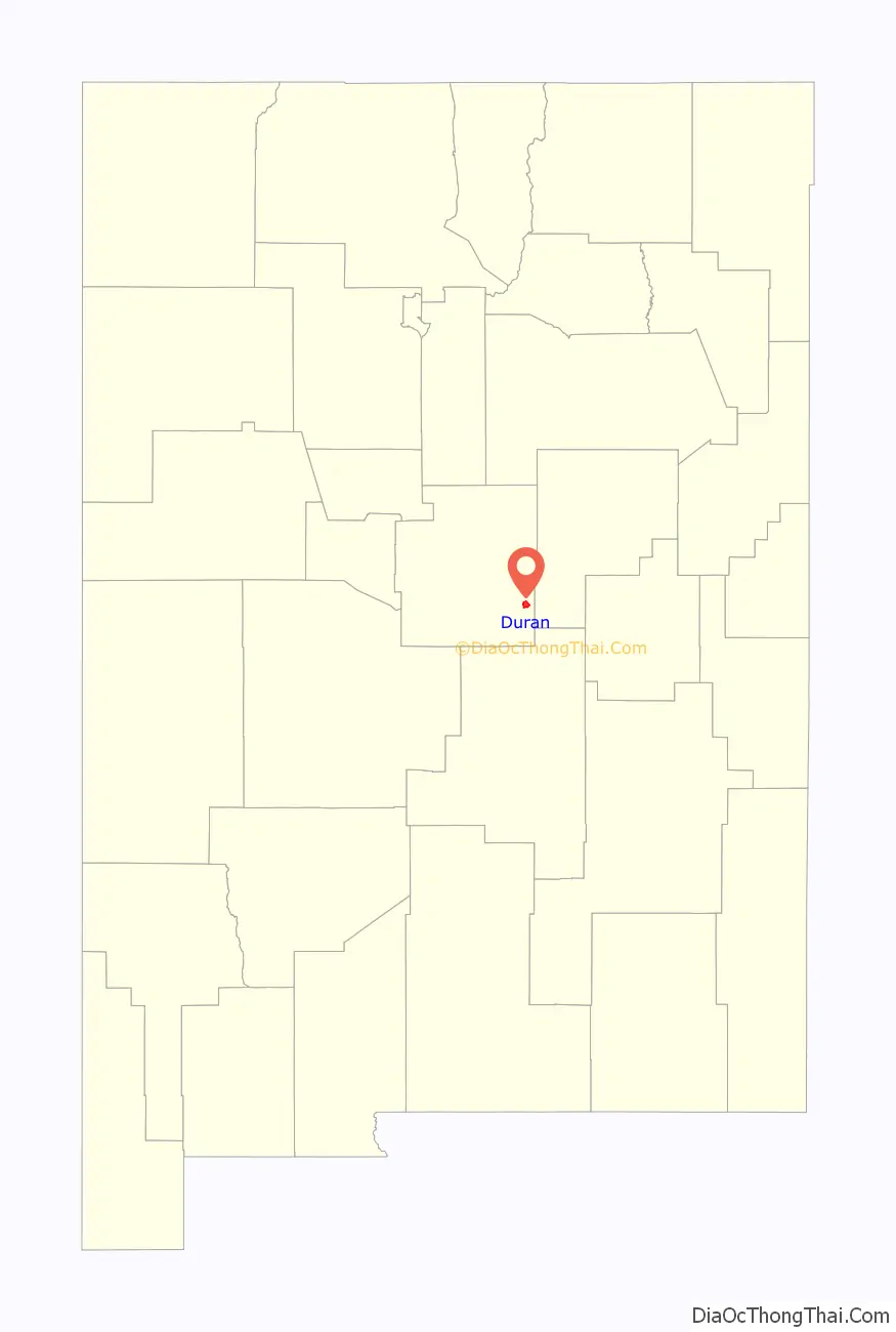
Duran location map. Where is Duran CDP?
History
Duran was laid out in 1902 when the railroad was extended to that point. A post office has been in operation at Duran since 1902.
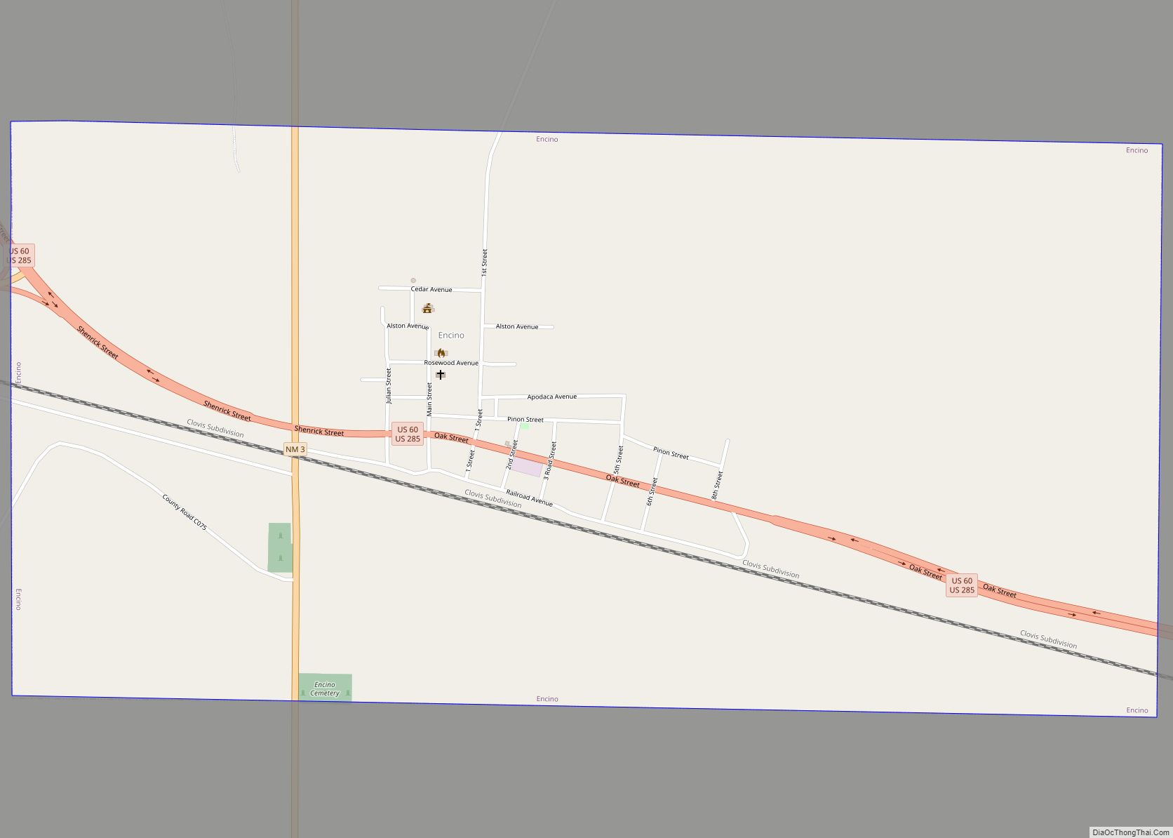
Duran Road Map
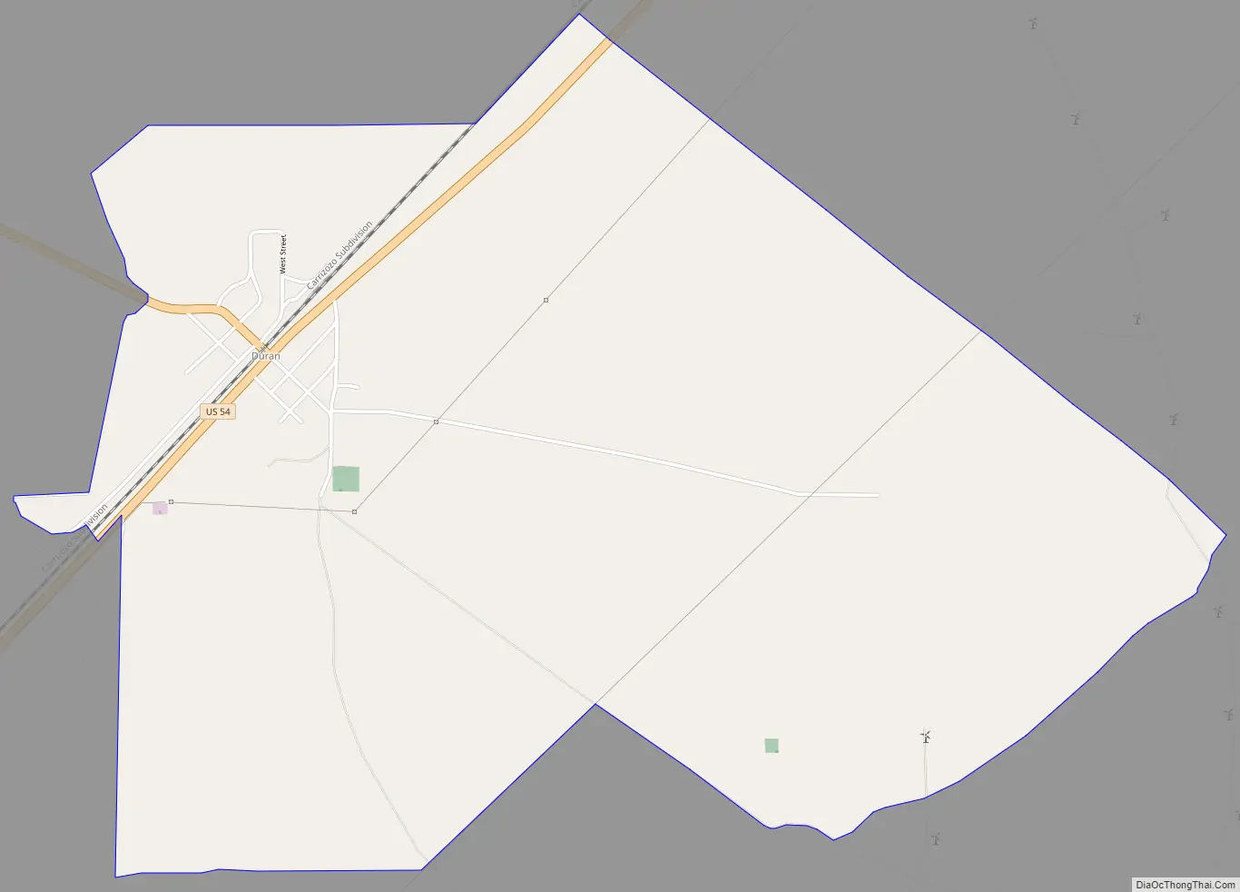
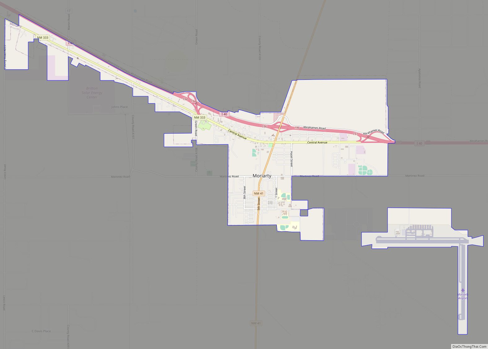
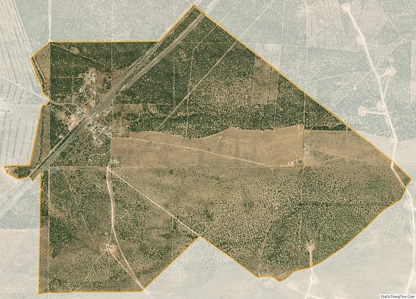
Duran city Satellite Map
See also
Map of New Mexico State and its subdivision: Map of other states:- Alabama
- Alaska
- Arizona
- Arkansas
- California
- Colorado
- Connecticut
- Delaware
- District of Columbia
- Florida
- Georgia
- Hawaii
- Idaho
- Illinois
- Indiana
- Iowa
- Kansas
- Kentucky
- Louisiana
- Maine
- Maryland
- Massachusetts
- Michigan
- Minnesota
- Mississippi
- Missouri
- Montana
- Nebraska
- Nevada
- New Hampshire
- New Jersey
- New Mexico
- New York
- North Carolina
- North Dakota
- Ohio
- Oklahoma
- Oregon
- Pennsylvania
- Rhode Island
- South Carolina
- South Dakota
- Tennessee
- Texas
- Utah
- Vermont
- Virginia
- Washington
- West Virginia
- Wisconsin
- Wyoming