Eunice is a city in Lea County, New Mexico, United States. The population was 2,922 at the 2010 census.
| Name: | Eunice city |
|---|---|
| LSAD Code: | 25 |
| LSAD Description: | city (suffix) |
| State: | New Mexico |
| County: | Lea County |
| Elevation: | 3,484 ft (1,062 m) |
| Total Area: | 4.10 sq mi (10.63 km²) |
| Land Area: | 4.09 sq mi (10.60 km²) |
| Water Area: | 0.01 sq mi (0.02 km²) |
| Total Population: | 3,056 |
| Population Density: | 746.46/sq mi (288.19/km²) |
| ZIP code: | 88231 |
| Area code: | 575 |
| FIPS code: | 3525450 |
| GNISfeature ID: | 2410462 |
| Website: | www.cityofeunice.org |
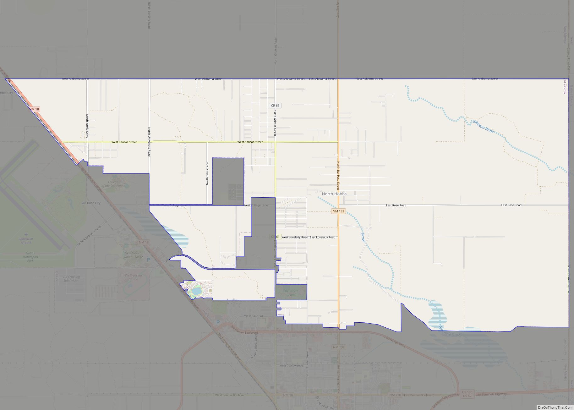
Online Interactive Map
Click on ![]() to view map in "full screen" mode.
to view map in "full screen" mode.
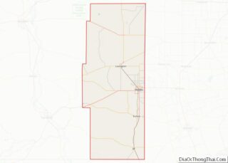
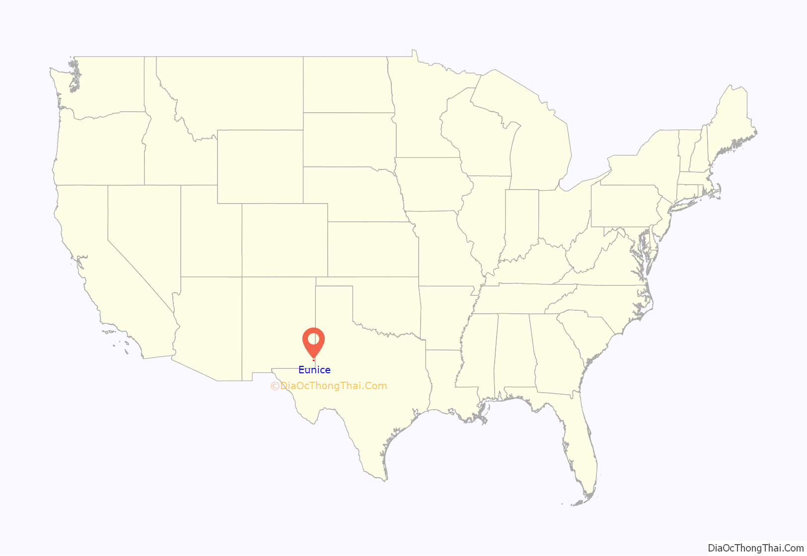
Eunice location map. Where is Eunice city?
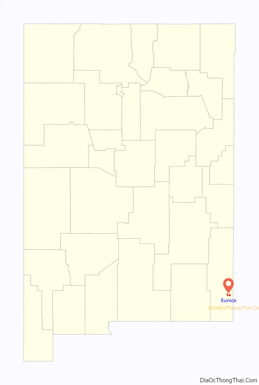
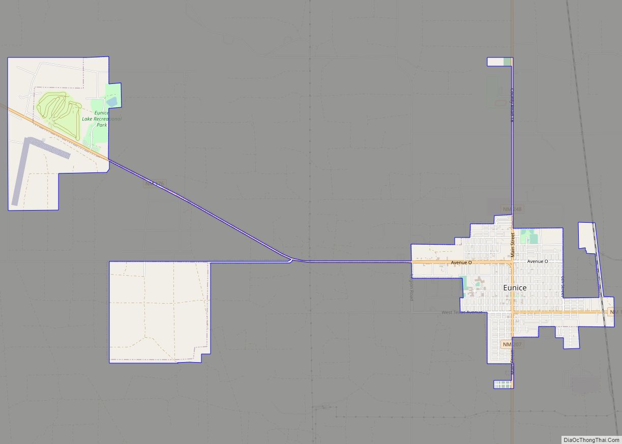
Eunice Road Map
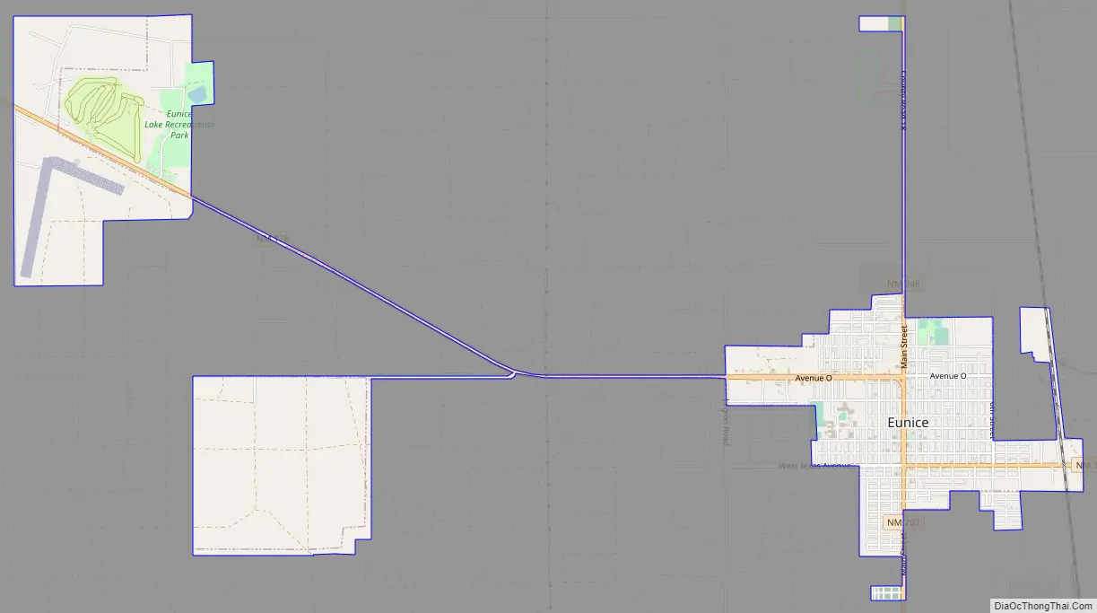
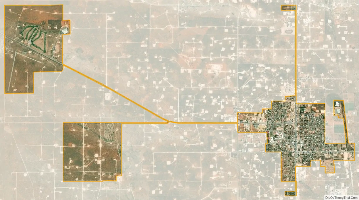
Eunice city Satellite Map
Geography
Eunice is located in southeastern Lea County. It is bypassed to the east by New Mexico State Road 18, which leads north 19 miles (31 km) to Hobbs, the largest city in the county, and south 23 miles (37 km) to Jal. State Road 176 runs east-west through the center of Eunice. Carlsbad is 68 miles (109 km) to the west, and the Texas border is 5.5 miles (8.9 km) to the east. Andrews, Texas, is 37 miles (60 km) east of Eunice via NM-176 and Texas State Highway 176.
According to the United States Census Bureau, Eunice has a total area of 3.9 square miles (10.2 km), of which 0.01 square miles (0.02 km), or 0.22%, are water.
See also
Map of New Mexico State and its subdivision: Map of other states:- Alabama
- Alaska
- Arizona
- Arkansas
- California
- Colorado
- Connecticut
- Delaware
- District of Columbia
- Florida
- Georgia
- Hawaii
- Idaho
- Illinois
- Indiana
- Iowa
- Kansas
- Kentucky
- Louisiana
- Maine
- Maryland
- Massachusetts
- Michigan
- Minnesota
- Mississippi
- Missouri
- Montana
- Nebraska
- Nevada
- New Hampshire
- New Jersey
- New Mexico
- New York
- North Carolina
- North Dakota
- Ohio
- Oklahoma
- Oregon
- Pennsylvania
- Rhode Island
- South Carolina
- South Dakota
- Tennessee
- Texas
- Utah
- Vermont
- Virginia
- Washington
- West Virginia
- Wisconsin
- Wyoming