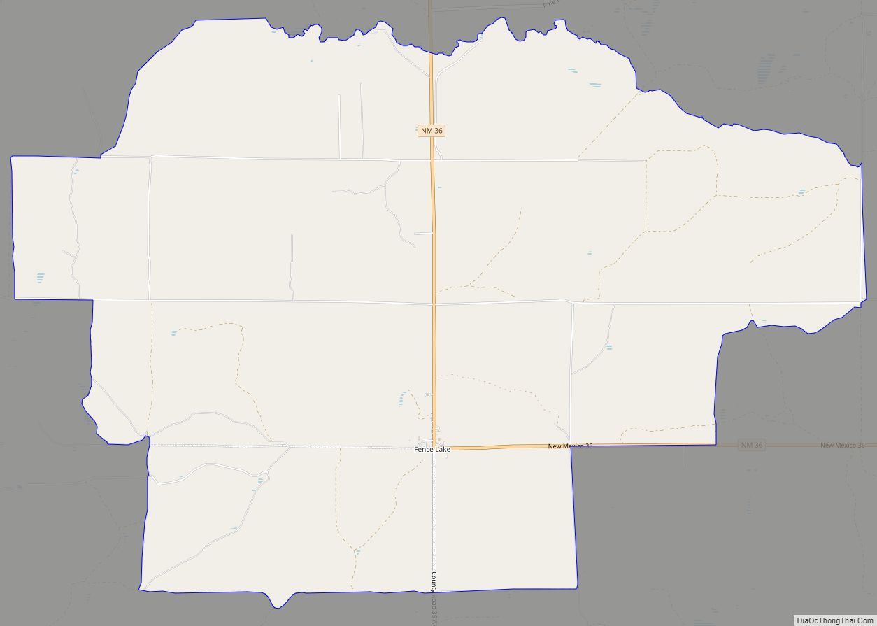
Fence Lake is a census-designated place located in southwestern Cibola County, New Mexico, United States. Designated in 1980 by the United States Census Bureau, Fence Lake had a population of 42 as of the 2010 census. The area is largely ranchland, and there are few businesses there. It was named after a small village which is contained within its boundaries.
| Name: | Fence Lake CDP |
|---|---|
| LSAD Code: | 57 |
| LSAD Description: | CDP (suffix) |
| State: | New Mexico |
| County: | Cibola County |
| Elevation: | 7,070 ft (2,150 m) |
| Total Area: | 3.00 sq mi (7.77 km²) |
| Land Area: | 3.00 sq mi (7.77 km²) |
| Water Area: | 0.00 sq mi (0.00 km²) |
| Total Population: | 17 |
| Population Density: | 5.66/sq mi (2.19/km²) |
| ZIP code: | 87315 |
| Area code: | 505 |
| FIPS code: | 3526010 |
| GNISfeature ID: | 0898775 |
Online Interactive Map
Click on ![]() to view map in "full screen" mode.
to view map in "full screen" mode.
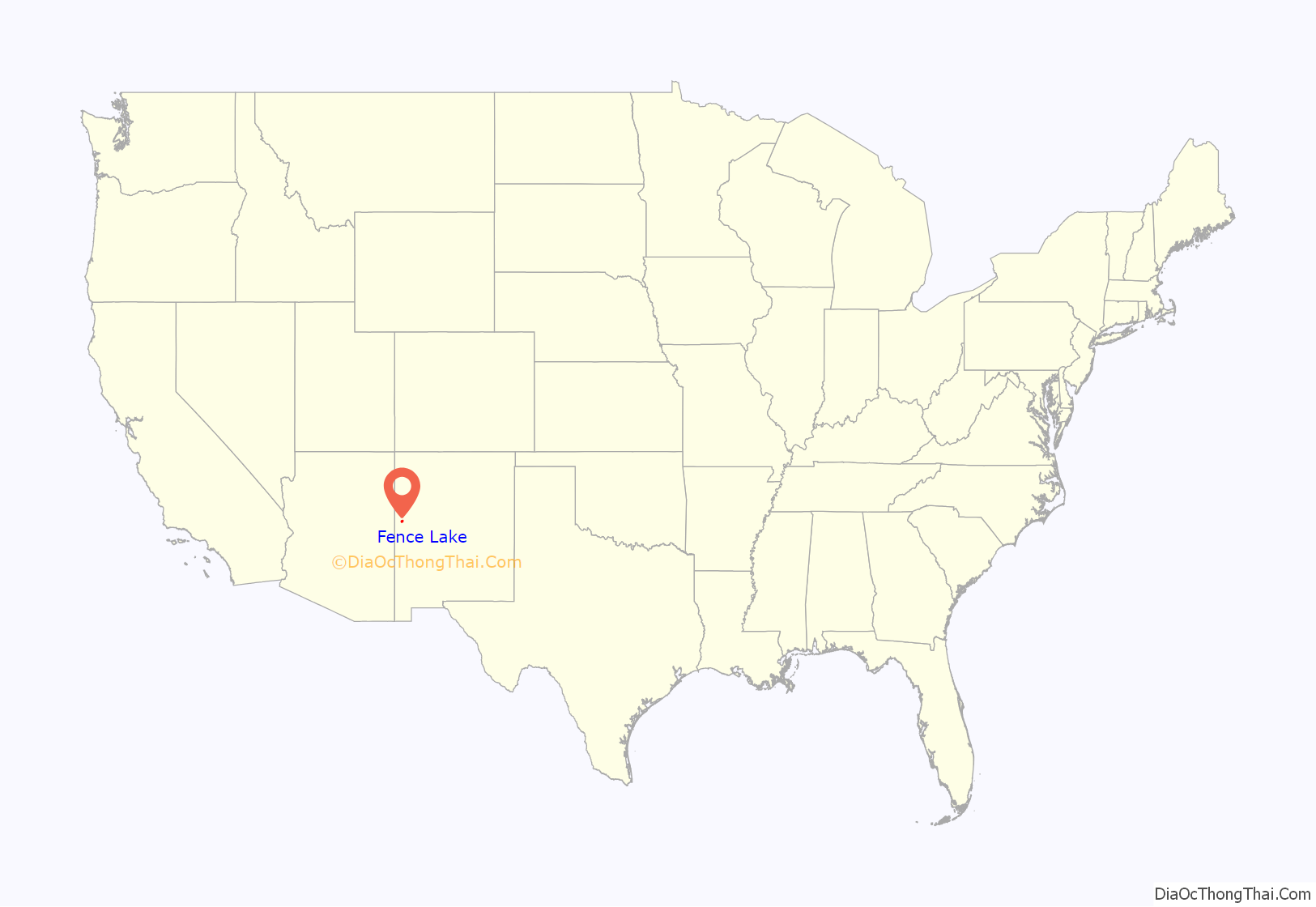
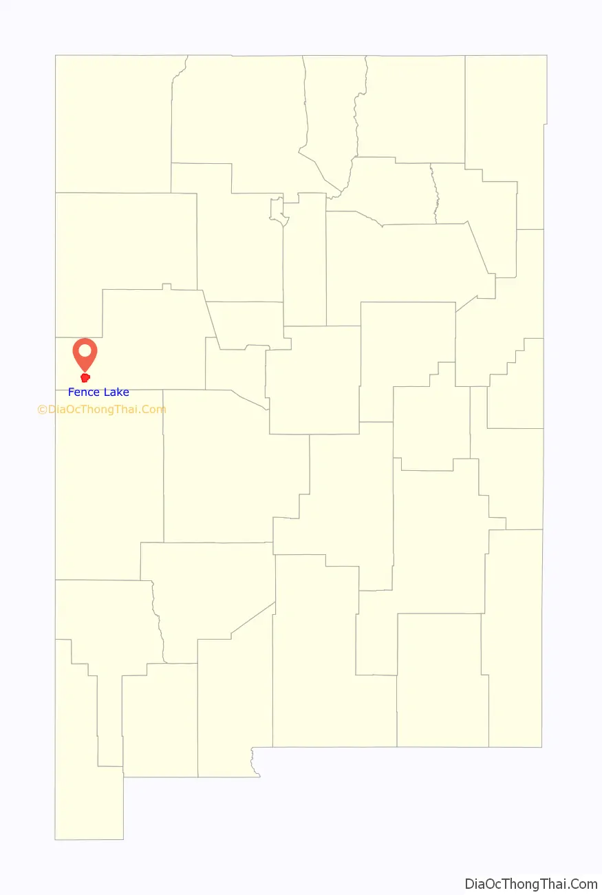
Fence Lake location map. Where is Fence Lake CDP?
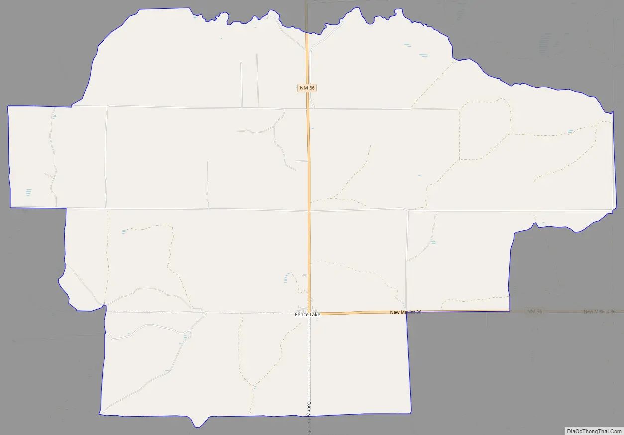
Fence Lake Road Map
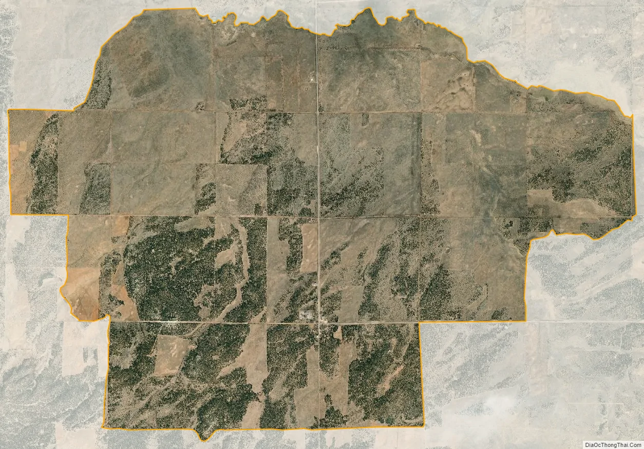
Fence Lake city Satellite Map
Geography
Fence Lake is located along New Mexico State Road 36, 33 miles (53 km) south of NM 53. It is 63 miles (101 km) south of Gallup and 40 miles (64 km) northwest of Quemado. Its coordinates are 34°39′12″N 108°40′36″W / 34.65333°N 108.67667°W / 34.65333; -108.67667.
Average rainfall, inches: January 1.1; February 1.1; March 1.2; April 0.7; May 0.7; June 0.5; July 2.4; August 2.6; September 1.6; October 0.9; November 0.9; December 1.0; Year 14.8
Post office
There is a post office located in the village of Fence Lake, serving the zip code 87315.
See also
Map of New Mexico State and its subdivision: Map of other states:- Alabama
- Alaska
- Arizona
- Arkansas
- California
- Colorado
- Connecticut
- Delaware
- District of Columbia
- Florida
- Georgia
- Hawaii
- Idaho
- Illinois
- Indiana
- Iowa
- Kansas
- Kentucky
- Louisiana
- Maine
- Maryland
- Massachusetts
- Michigan
- Minnesota
- Mississippi
- Missouri
- Montana
- Nebraska
- Nevada
- New Hampshire
- New Jersey
- New Mexico
- New York
- North Carolina
- North Dakota
- Ohio
- Oklahoma
- Oregon
- Pennsylvania
- Rhode Island
- South Carolina
- South Dakota
- Tennessee
- Texas
- Utah
- Vermont
- Virginia
- Washington
- West Virginia
- Wisconsin
- Wyoming