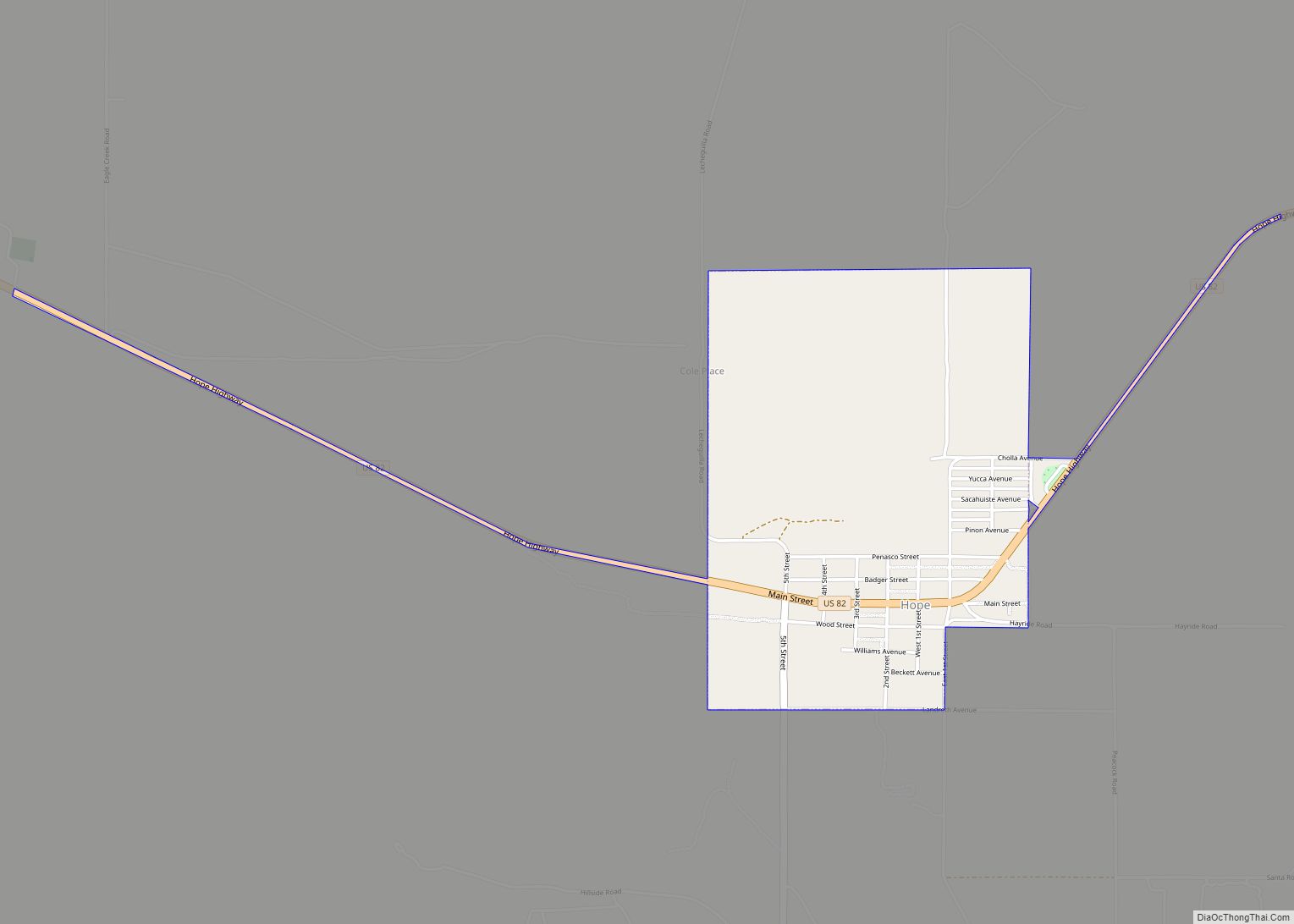
Hope is a village in Eddy County, New Mexico, United States. It is located approximately 20 miles (32 km) west of Artesia on U.S. Route 82. It has had a post office since 1890. As of the 2010 census, the village’s population was 105.
| Name: | Hope village |
|---|---|
| LSAD Code: | 47 |
| LSAD Description: | village (suffix) |
| State: | New Mexico |
| County: | Eddy County |
| Elevation: | 4,095 ft (1,248 m) |
| Total Area: | 1.22 sq mi (3.17 km²) |
| Land Area: | 1.22 sq mi (3.17 km²) |
| Water Area: | 0.00 sq mi (0.00 km²) |
| Total Population: | 113 |
| Population Density: | 92.40/sq mi (35.66/km²) |
| ZIP code: | 88250 |
| Area code: | 575 |
| FIPS code: | 3533290 |
| GNISfeature ID: | 2413559 |
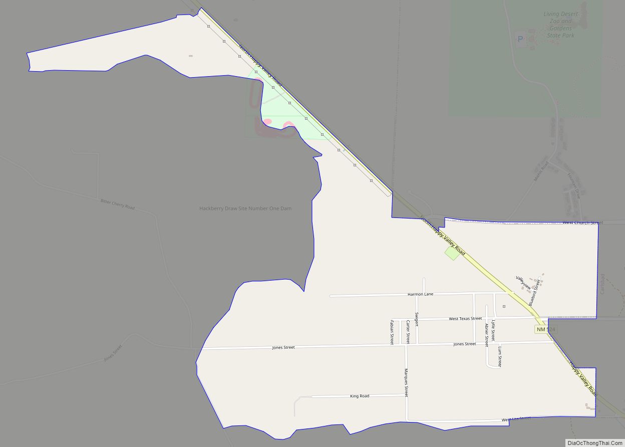
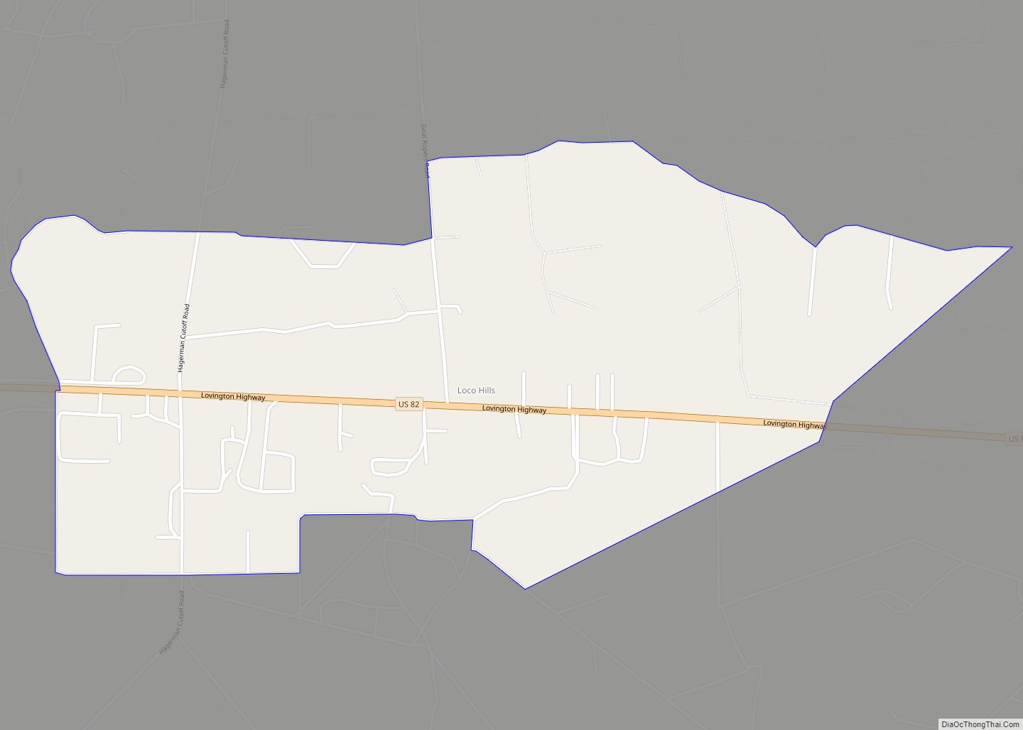
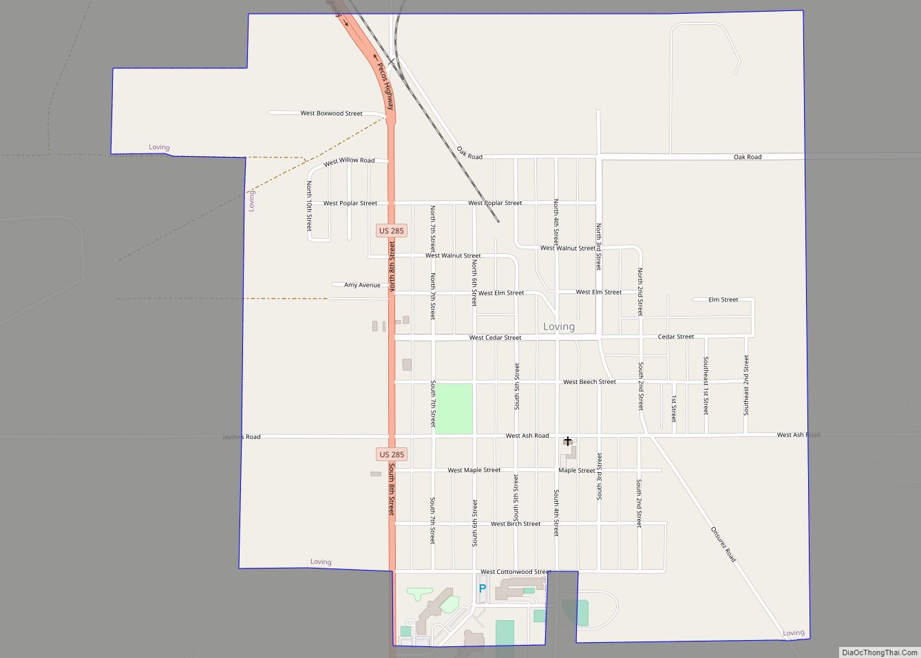
Online Interactive Map
Click on ![]() to view map in "full screen" mode.
to view map in "full screen" mode.
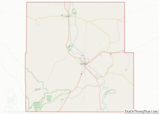
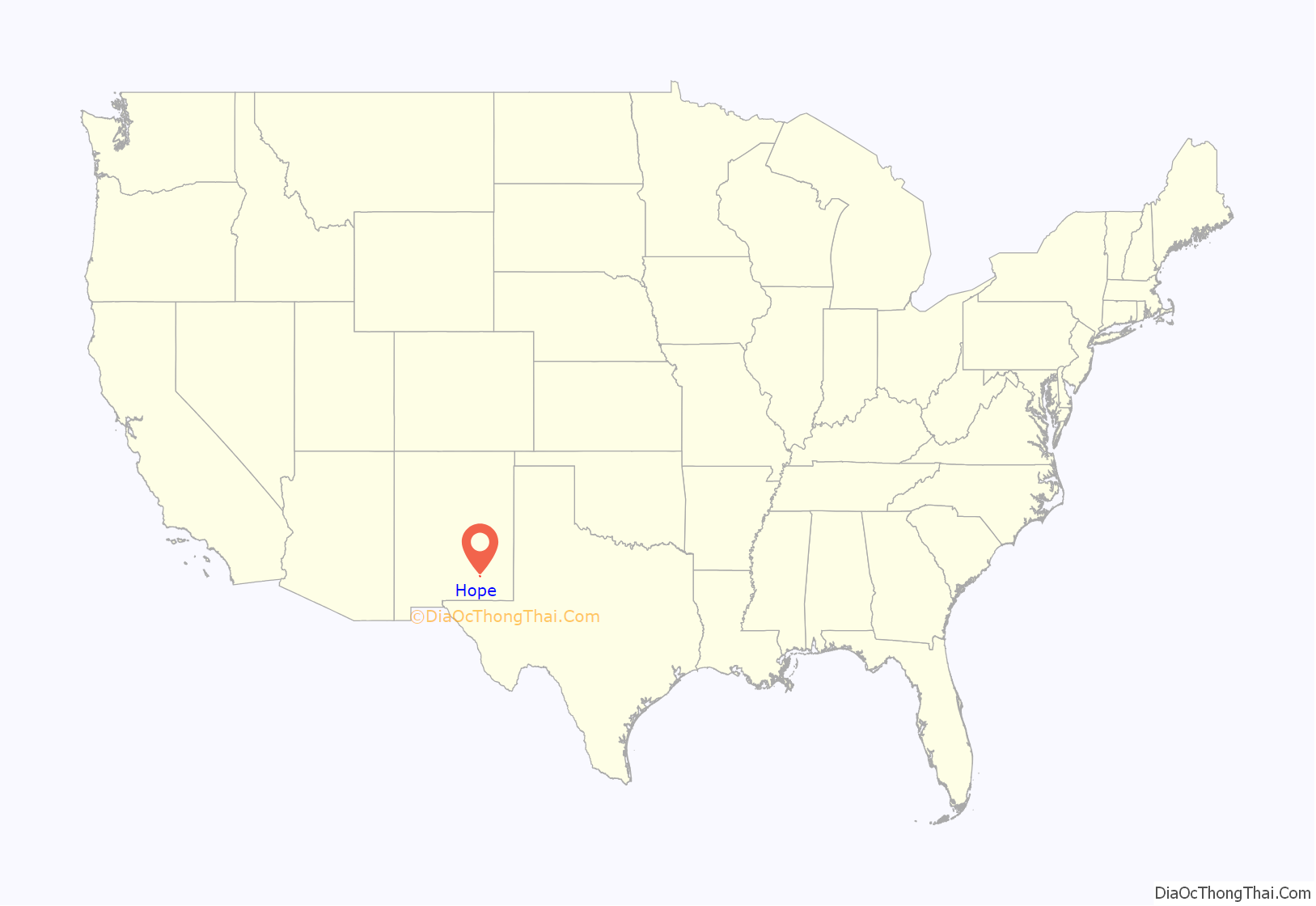
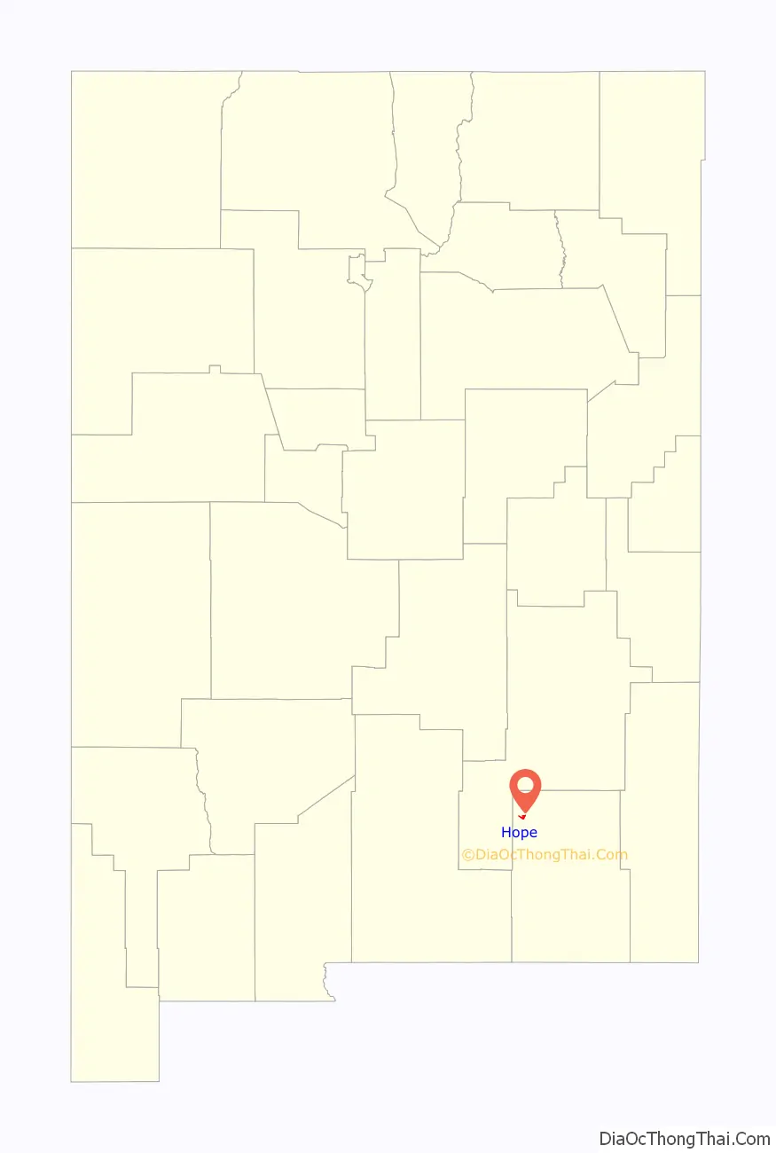
Hope location map. Where is Hope village?
History
Founded in 1884 as “Badgerville”, the name was changed in 1890 for post office purposes.
The town was featured in Life magazine on May 29, 1950, with an account of the newly elected Petticoat City Government under Mayor Ethel Altman.
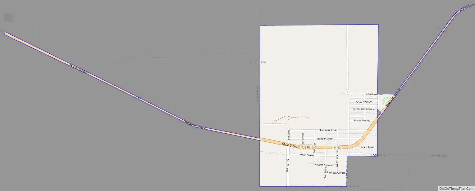
Hope Road Map
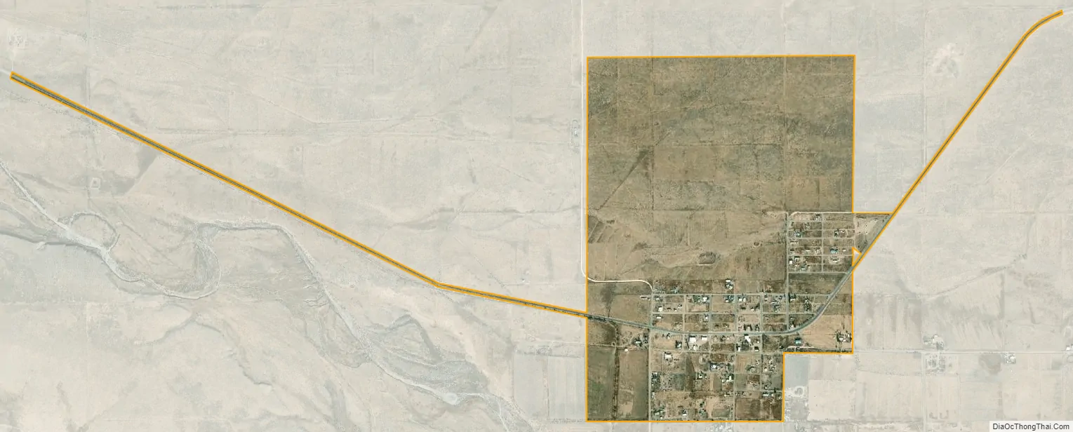
Hope city Satellite Map
Geography
Hope is located in northwestern Eddy County at 32°48′43″N 104°44′01″W / 32.811916°N 104.733565°W / 32.811916; -104.733565. US 82 passes through the center of the village, leading east 20 miles (32 km) to Artesia and west 90 miles (140 km) over the Sacramento Mountains to Alamogordo.
According to the United States Census Bureau, the village has a total area of 1.22 square miles (3.17 km), all land.
See also
Map of New Mexico State and its subdivision: Map of other states:- Alabama
- Alaska
- Arizona
- Arkansas
- California
- Colorado
- Connecticut
- Delaware
- District of Columbia
- Florida
- Georgia
- Hawaii
- Idaho
- Illinois
- Indiana
- Iowa
- Kansas
- Kentucky
- Louisiana
- Maine
- Maryland
- Massachusetts
- Michigan
- Minnesota
- Mississippi
- Missouri
- Montana
- Nebraska
- Nevada
- New Hampshire
- New Jersey
- New Mexico
- New York
- North Carolina
- North Dakota
- Ohio
- Oklahoma
- Oregon
- Pennsylvania
- Rhode Island
- South Carolina
- South Dakota
- Tennessee
- Texas
- Utah
- Vermont
- Virginia
- Washington
- West Virginia
- Wisconsin
- Wyoming