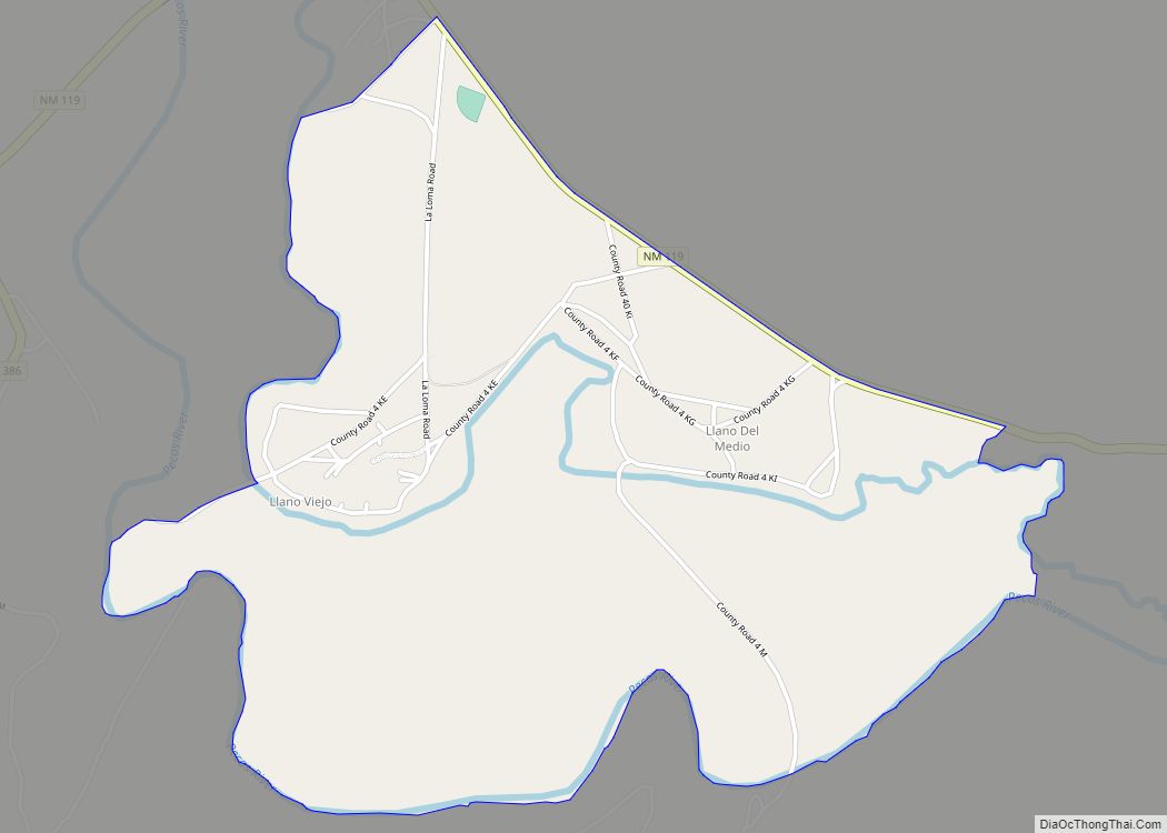
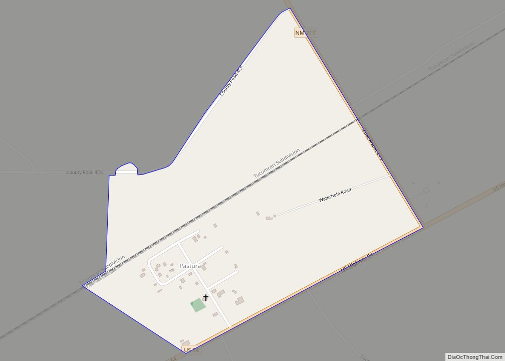
Llano del Medio is an unincorporated community and census-designated place in Guadalupe County, New Mexico, United States. Its population was 118 as of the 2010 census, of which 111 people were Hispanic in origin. New Mexico State Road 119 passes through the community.
| Name: | Llano del Medio CDP |
|---|---|
| LSAD Code: | 57 |
| LSAD Description: | CDP (suffix) |
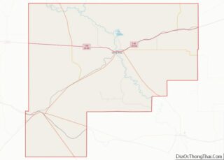
| State: | New Mexico |
| County: | Guadalupe County |
| Elevation: | 5,239 ft (1,597 m) |
| Total Area: | 1.91 sq mi (4.95 km²) |
| Land Area: | 1.91 sq mi (4.95 km²) |
| Water Area: | 0.00 sq mi (0.00 km²) |
| Total Population: | 76 |
| Population Density: | 39.75/sq mi (15.35/km²) |
| Area code: | 575 |
| FIPS code: | 3541620 |
| GNISfeature ID: | 918232 |
Online Interactive Map
Click on ![]() to view map in "full screen" mode.
to view map in "full screen" mode.
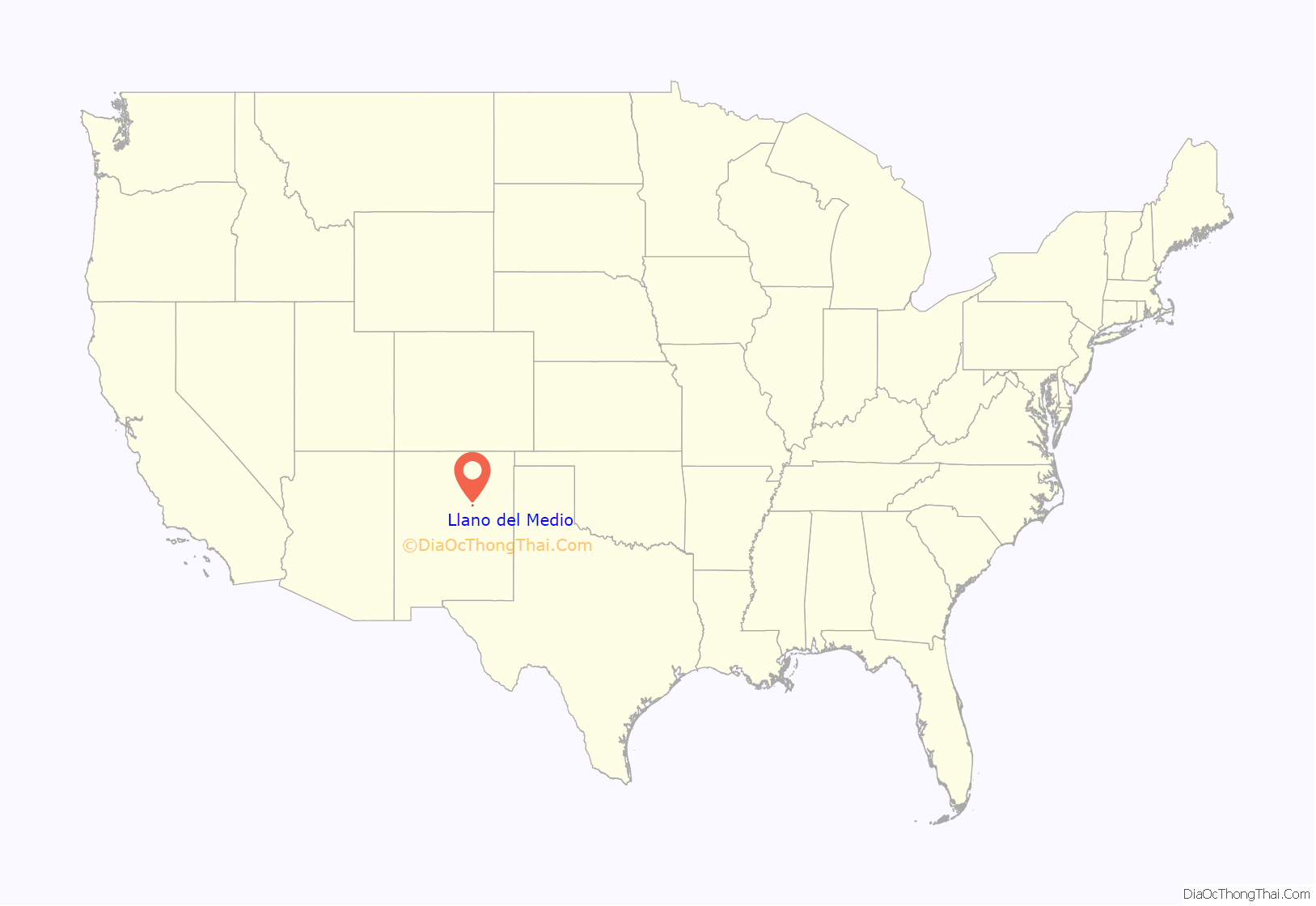
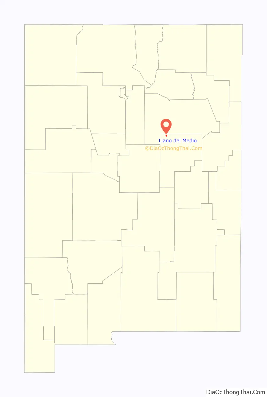
Llano del Medio location map. Where is Llano del Medio CDP?
History
Llano del Medio is one of several settlements located along the Pecos River in the Anton Chico Land Grant created by the government of New Mexico in 1822. The early inhabitants were Hispanics and genizaros who migrated to LLano del Medio to attain land for growing crops and raising livestock. Llano del Medio served as one of the eastern outposts of New Mexico to defend against Indian raids on settlements in the Rio Grande valley. Many of the ciboleros (bison hunters) and comancheros (traders with the Plains Indians) of the 19th century came from the settlements along the Pecos River.
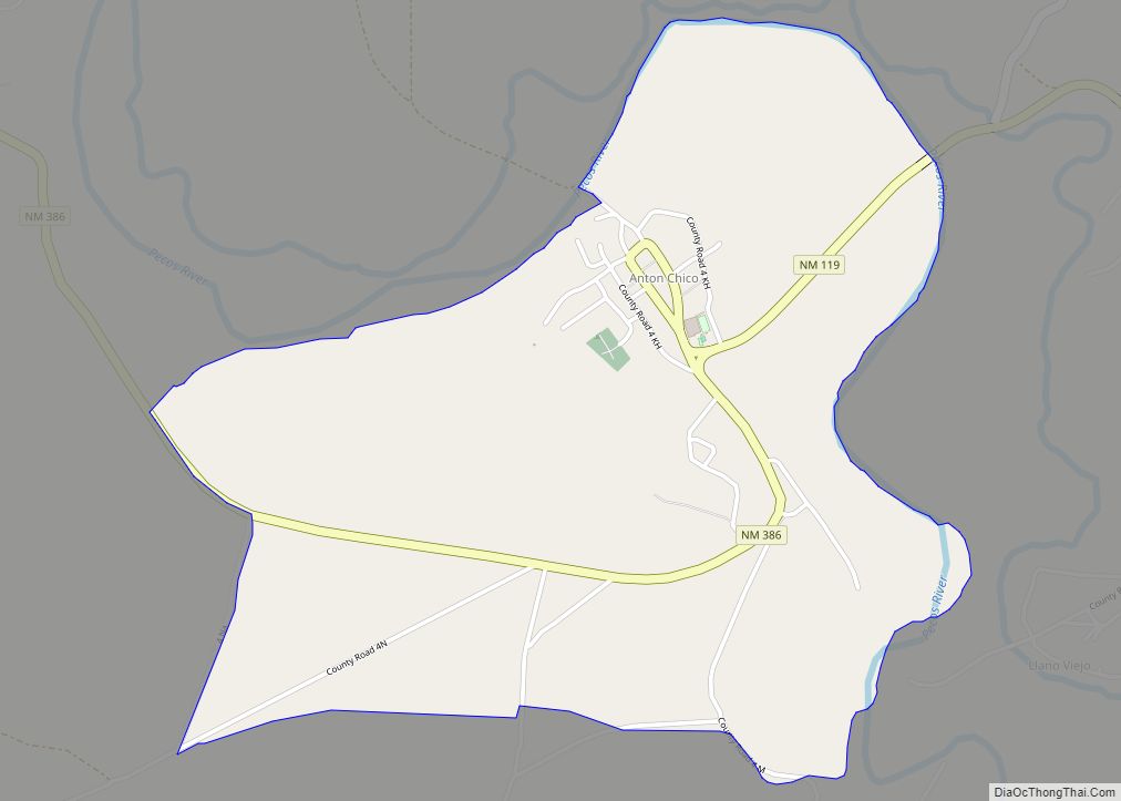
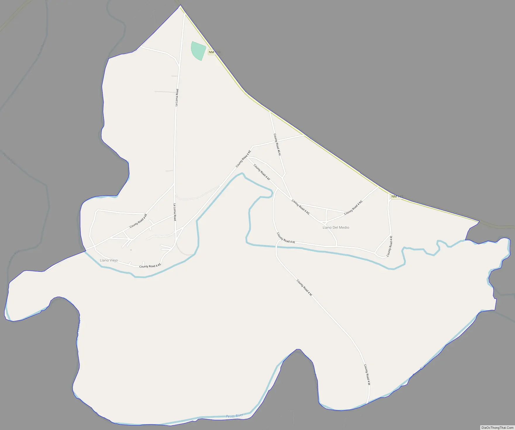
Llano del Medio Road Map
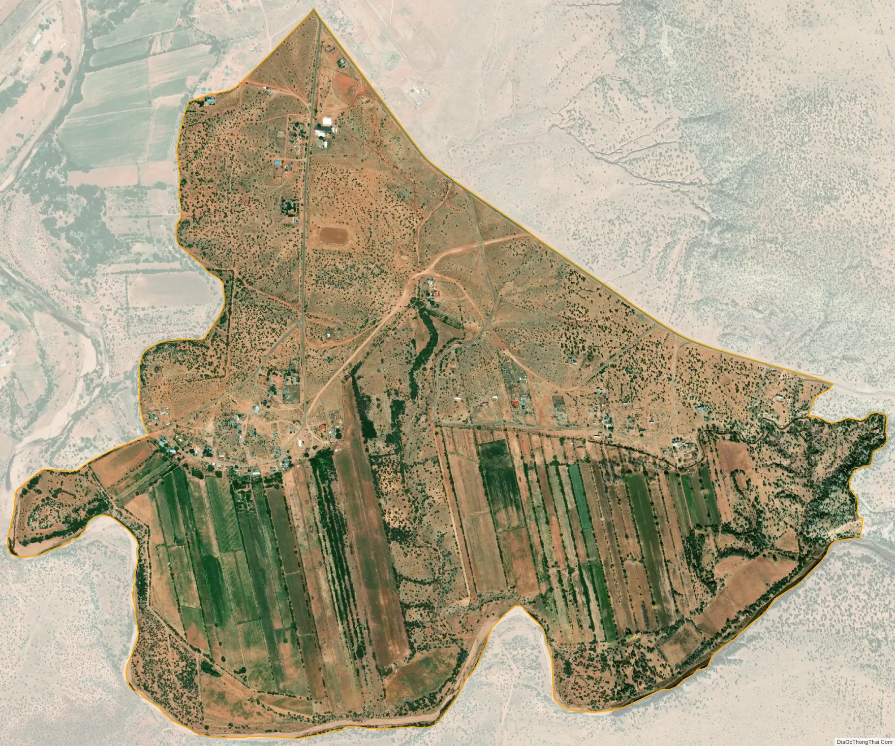
Llano del Medio city Satellite Map
Geography
Llano del Medio is located at 35°11′23″N 105°06′35″W / 35.1897732°N 105.1097233°W / 35.1897732; -105.1097233. According to the U.S. Census Bureau, the community has an area of 1.907 square miles (4.94 km), all land.
See also
Map of New Mexico State and its subdivision: Map of other states:- Alabama
- Alaska
- Arizona
- Arkansas
- California
- Colorado
- Connecticut
- Delaware
- District of Columbia
- Florida
- Georgia
- Hawaii
- Idaho
- Illinois
- Indiana
- Iowa
- Kansas
- Kentucky
- Louisiana
- Maine
- Maryland
- Massachusetts
- Michigan
- Minnesota
- Mississippi
- Missouri
- Montana
- Nebraska
- Nevada
- New Hampshire
- New Jersey
- New Mexico
- New York
- North Carolina
- North Dakota
- Ohio
- Oklahoma
- Oregon
- Pennsylvania
- Rhode Island
- South Carolina
- South Dakota
- Tennessee
- Texas
- Utah
- Vermont
- Virginia
- Washington
- West Virginia
- Wisconsin
- Wyoming