Mescalero (Mescalero-Chiricahua: Mashgal) is a census-designated place (CDP) in Otero County, New Mexico, United States, located on the Mescalero Apache Reservation. The population was 1,338 at the 2010 census.
| Name: | Mescalero CDP |
|---|---|
| LSAD Code: | 57 |
| LSAD Description: | CDP (suffix) |
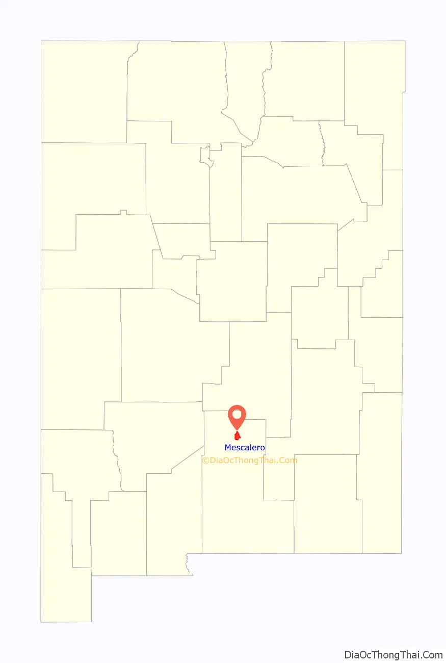
| State: | New Mexico |
| County: | Otero County |
| Elevation: | 6,611 ft (2,015 m) |
| Total Area: | 17.90 sq mi (46.36 km²) |
| Land Area: | 17.89 sq mi (46.33 km²) |
| Water Area: | 0.01 sq mi (0.03 km²) |
| Total Population: | 1,480 |
| Population Density: | 82.74/sq mi (31.95/km²) |
| ZIP code: | 88340 |
| Area code: | 575 |
| FIPS code: | 3547920 |
| GNISfeature ID: | 0923626 |
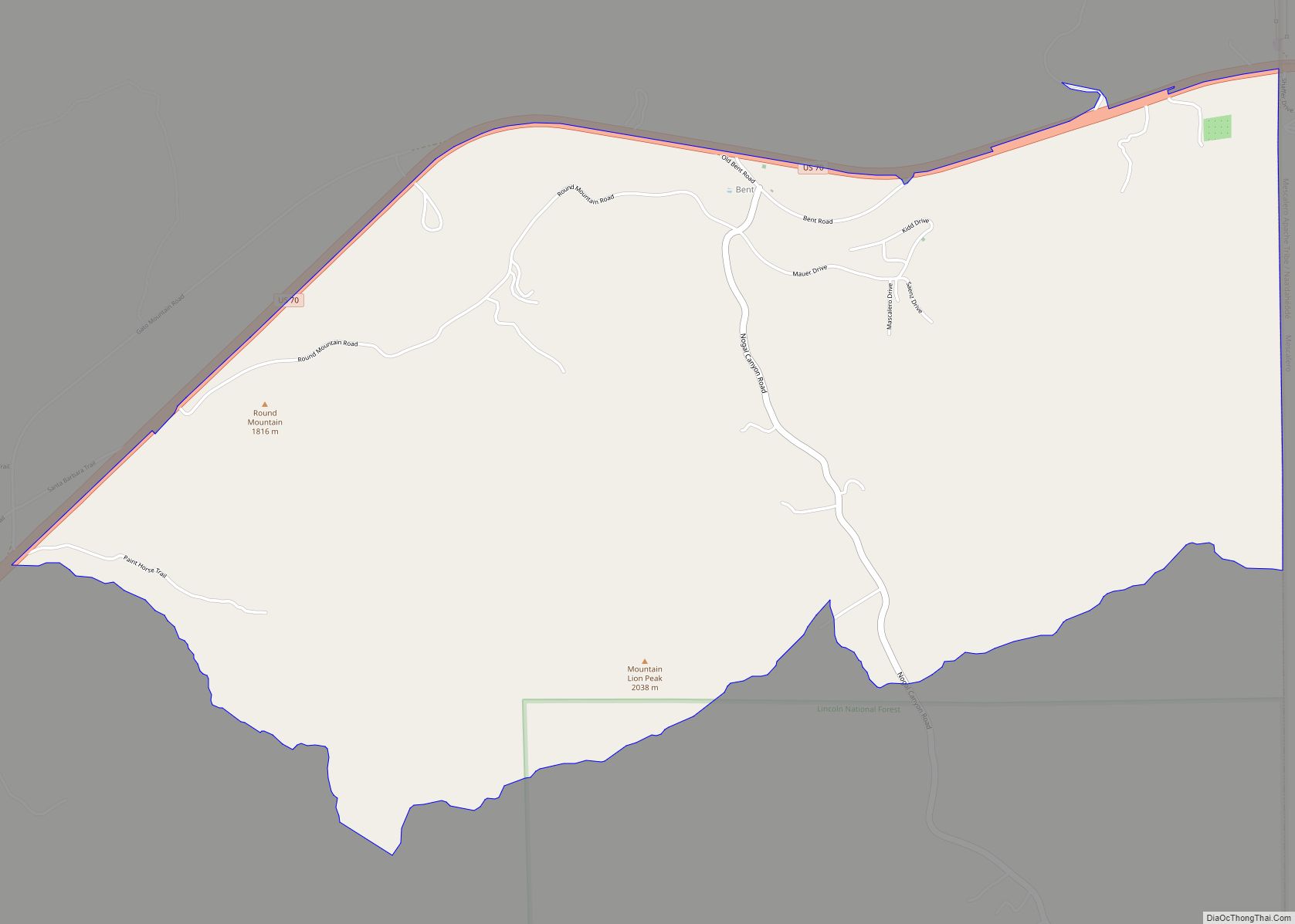
Online Interactive Map
Click on ![]() to view map in "full screen" mode.
to view map in "full screen" mode.
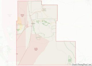
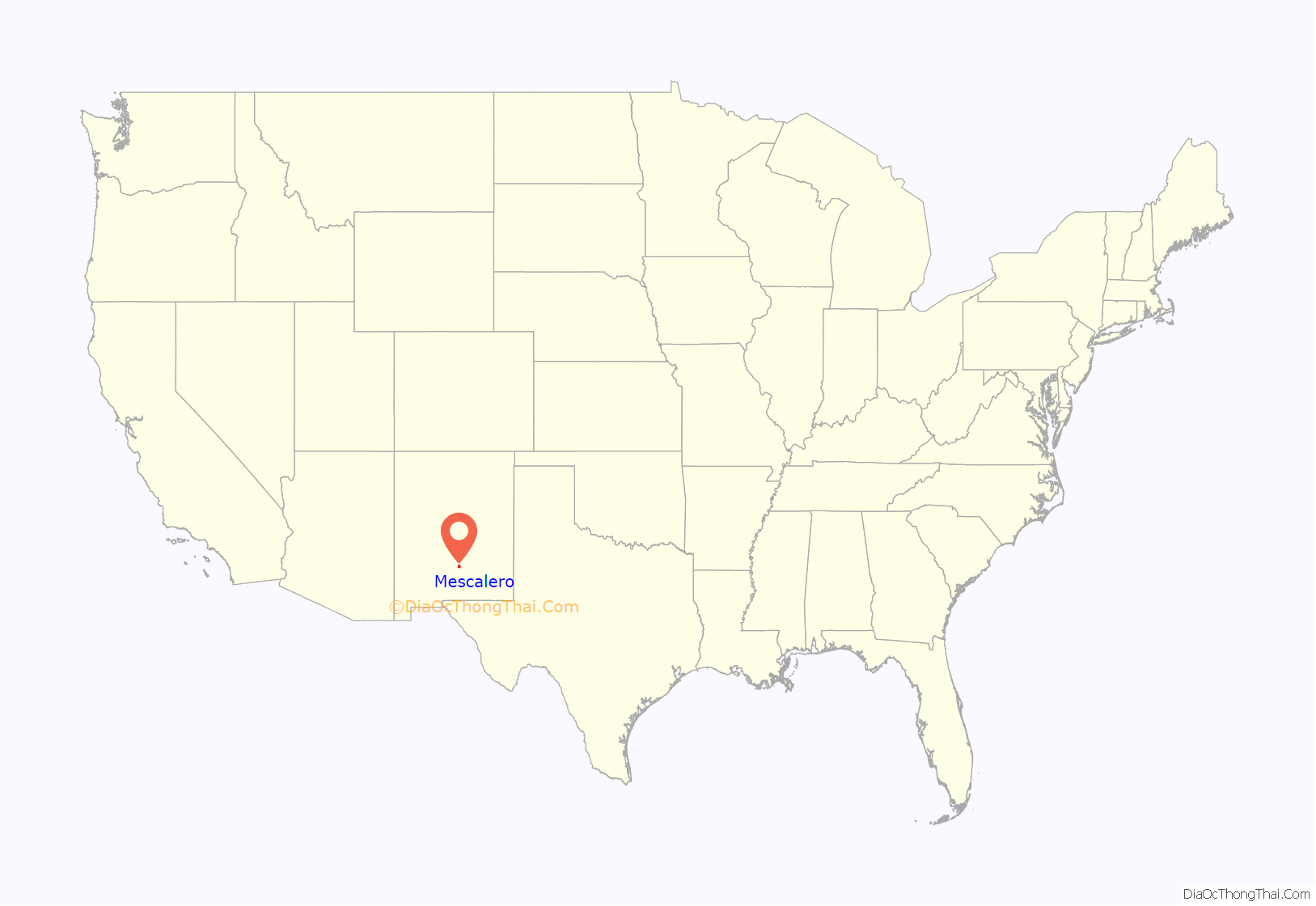
Mescalero location map. Where is Mescalero CDP?
History
The settlement was originally called Blazer’s Mill, the location of a famous gunfight during the Lincoln County War.
Mescalero Road Map
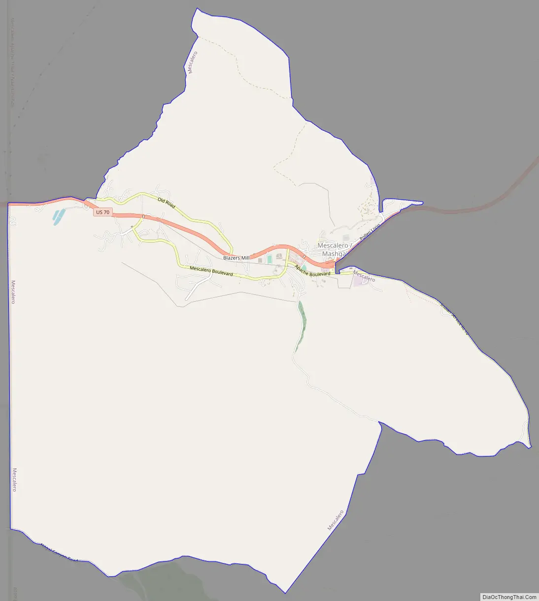
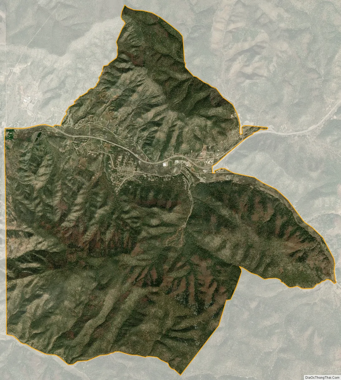
Mescalero city Satellite Map
Geography
Mescalero is located at 33°9′27″N 105°46′50″W / 33.15750°N 105.78056°W / 33.15750; -105.78056 (33.157440, -105.780482).
According to the United States Census Bureau, the CDP has a total area of 17.9 square miles (46 km) 17.9 square miles (46.3 km), all land.
See also
Map of New Mexico State and its subdivision: Map of other states:- Alabama
- Alaska
- Arizona
- Arkansas
- California
- Colorado
- Connecticut
- Delaware
- District of Columbia
- Florida
- Georgia
- Hawaii
- Idaho
- Illinois
- Indiana
- Iowa
- Kansas
- Kentucky
- Louisiana
- Maine
- Maryland
- Massachusetts
- Michigan
- Minnesota
- Mississippi
- Missouri
- Montana
- Nebraska
- Nevada
- New Hampshire
- New Jersey
- New Mexico
- New York
- North Carolina
- North Dakota
- Ohio
- Oklahoma
- Oregon
- Pennsylvania
- Rhode Island
- South Carolina
- South Dakota
- Tennessee
- Texas
- Utah
- Vermont
- Virginia
- Washington
- West Virginia
- Wisconsin
- Wyoming