Ponderosa Pine is a census-designated place (CDP) in Bernalillo County, New Mexico, United States. The population was 1,195 at the 2010 census. It is part of the Albuquerque Metropolitan Statistical Area.
| Name: | Ponderosa Pine CDP |
|---|---|
| LSAD Code: | 57 |
| LSAD Description: | CDP (suffix) |
| State: | New Mexico |
| County: | Bernalillo County |
| Elevation: | 7,440 ft (2,270 m) |
| Total Area: | 8.07 sq mi (20.91 km²) |
| Land Area: | 8.07 sq mi (20.91 km²) |
| Water Area: | 0.00 sq mi (0.01 km²) |
| Total Population: | 1,092 |
| Population Density: | 135.28/sq mi (52.23/km²) |
| Area code: | 505 |
| FIPS code: | 3559120 |
| GNISfeature ID: | 0909790 |
Online Interactive Map
Click on ![]() to view map in "full screen" mode.
to view map in "full screen" mode.
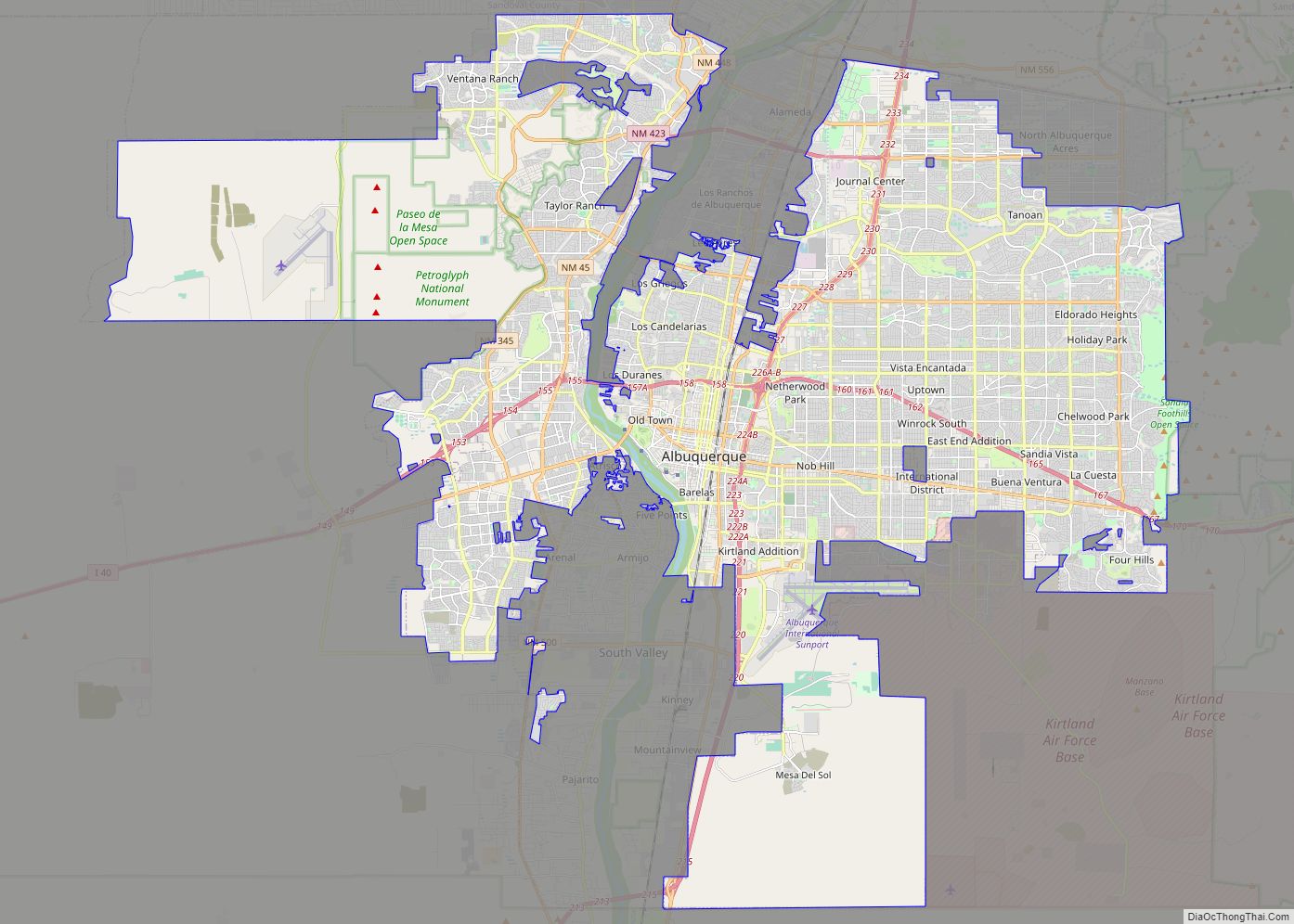
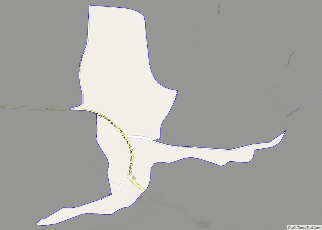
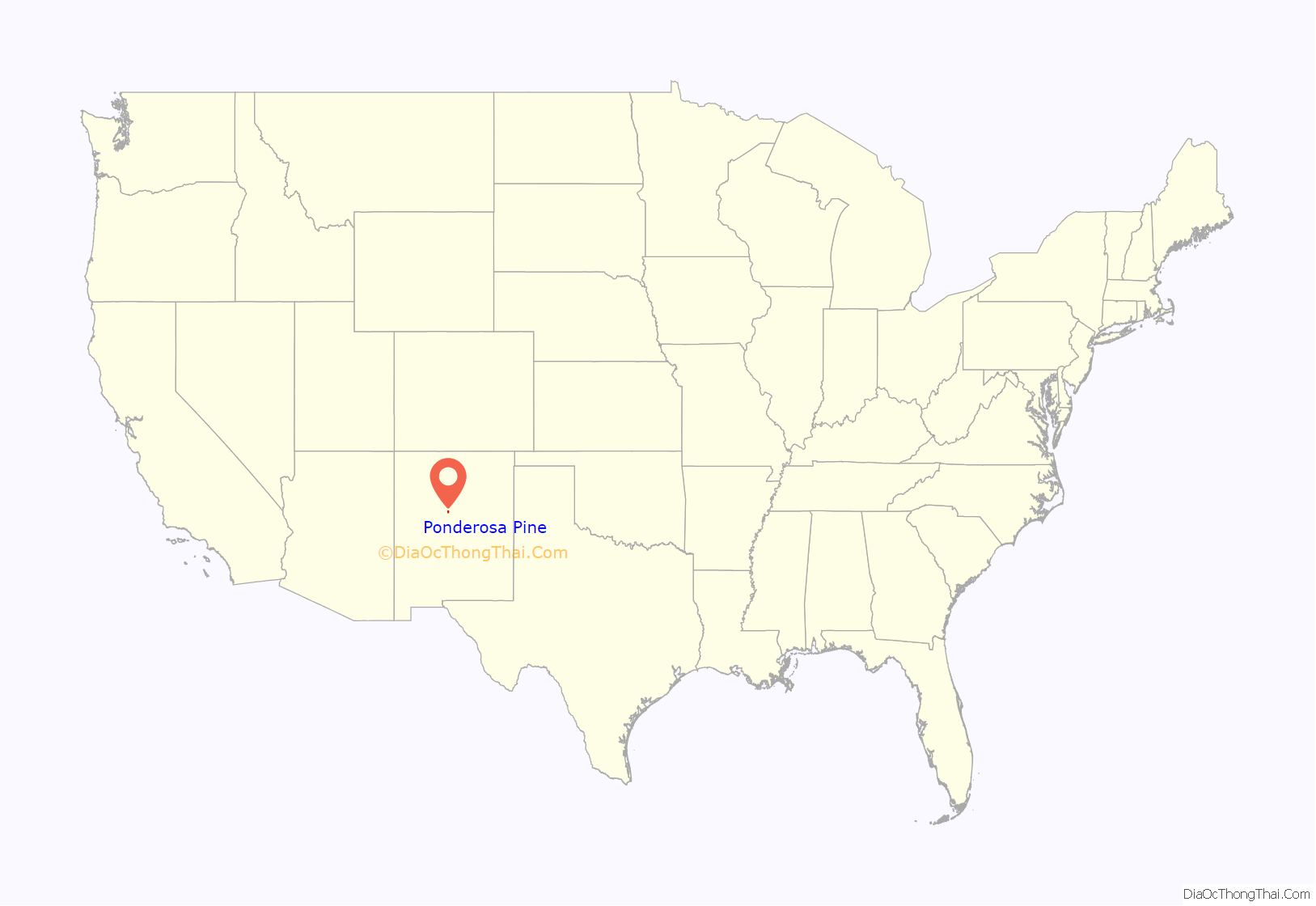
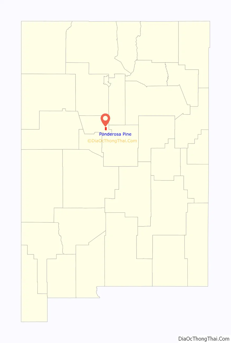
Ponderosa Pine location map. Where is Ponderosa Pine CDP?
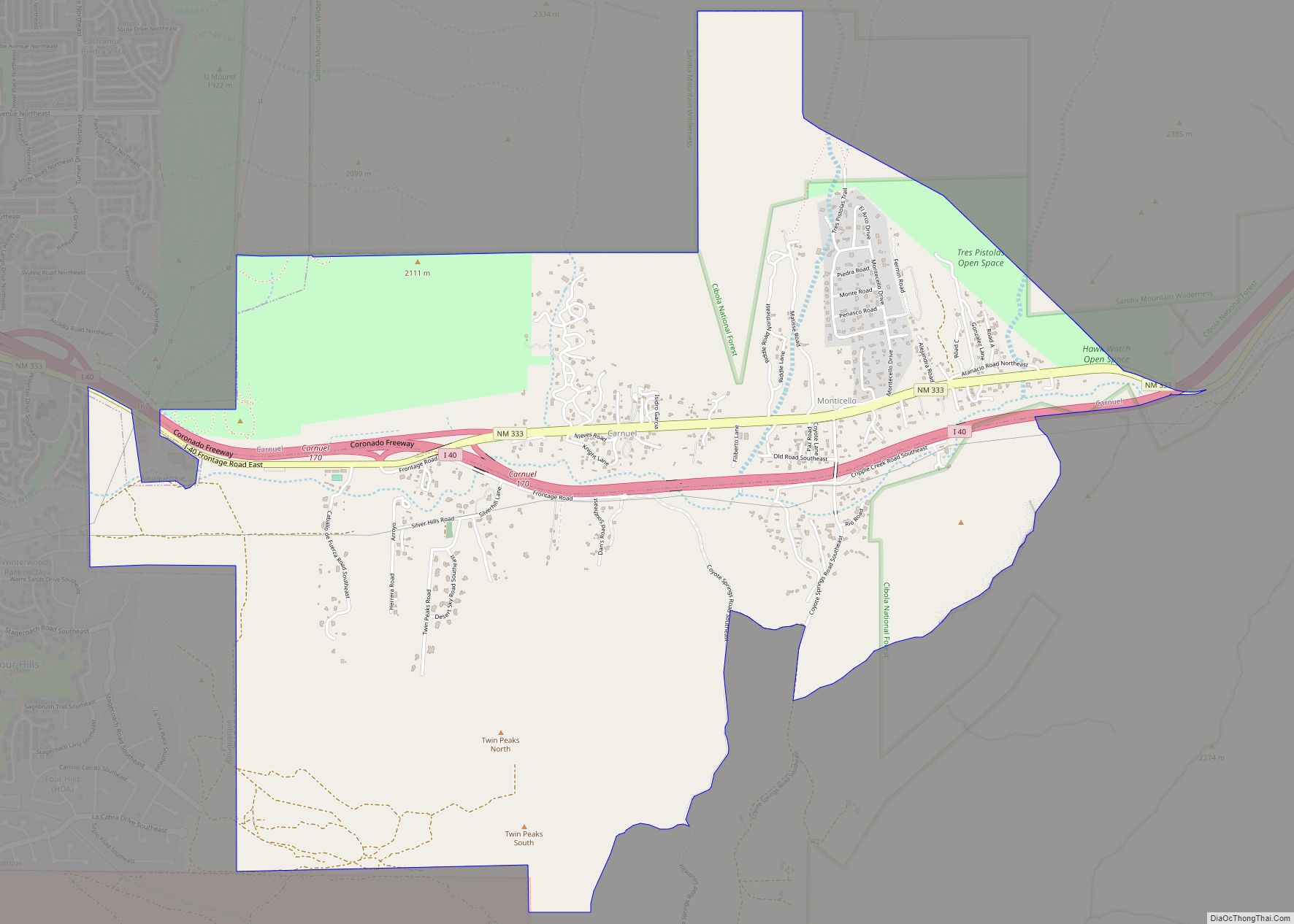
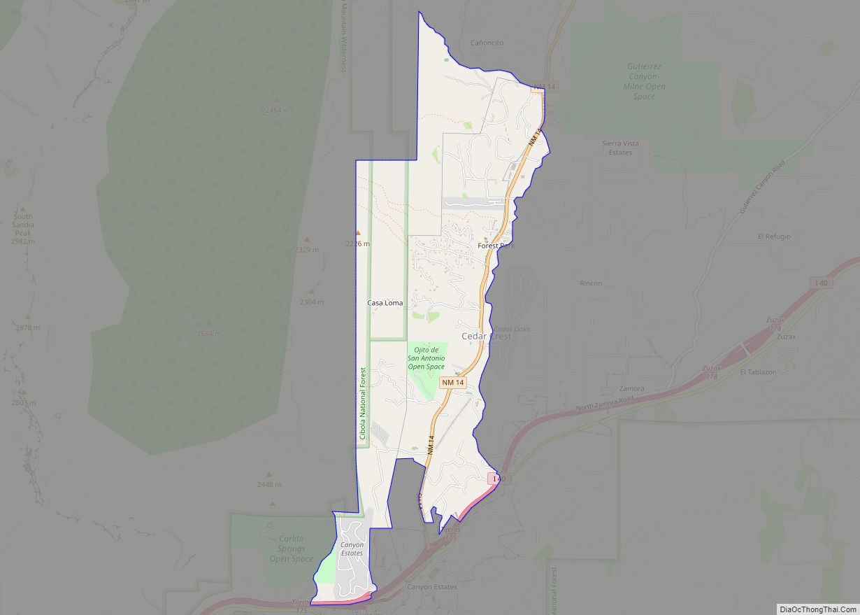
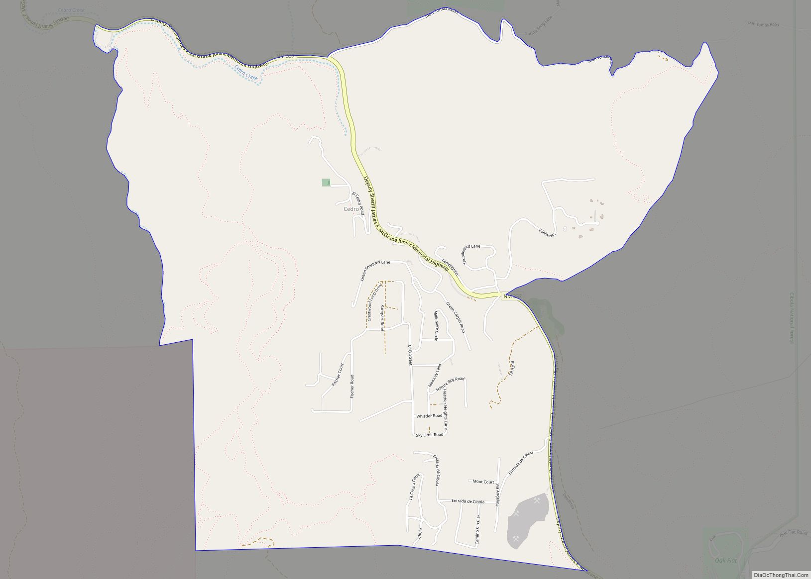
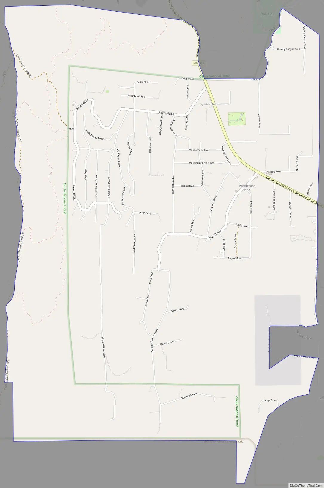
Ponderosa Pine Road Map
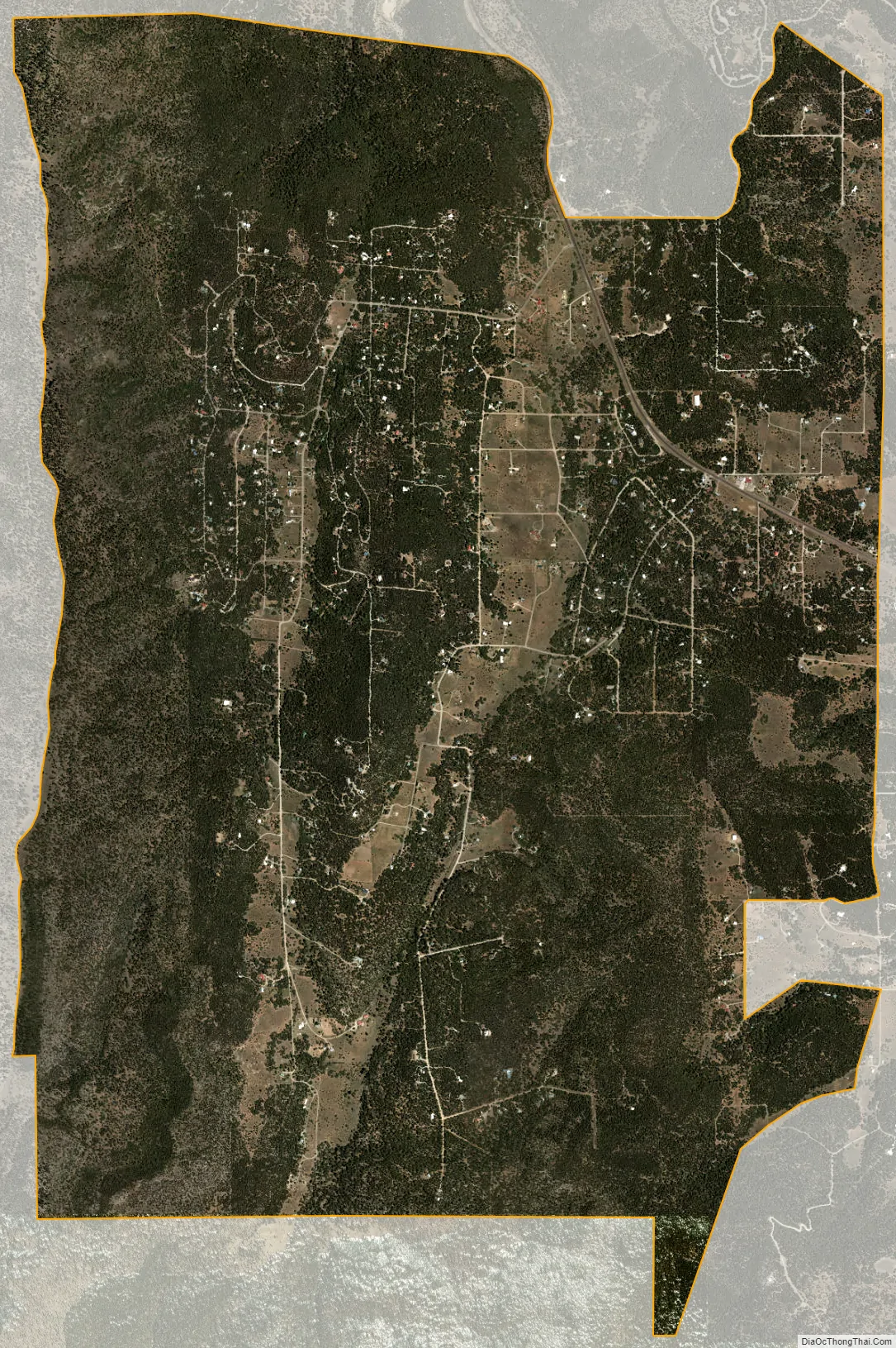
Ponderosa Pine city Satellite Map
Geography
Ponderosa Pine is located in southeastern Bernalillo County. It is bordered to the north by the Cedro census-designated place, and to the west by Cibola National Forest. New Mexico State Road 337 leads through the community, leading north 10 miles (16 km) to Tijeras and Interstate 40.
According to the United States Census Bureau, the Ponderosa Pine CDP has a total area of 8.1 square miles (20.9 km), all land.
See also
Map of New Mexico State and its subdivision: Map of other states:- Alabama
- Alaska
- Arizona
- Arkansas
- California
- Colorado
- Connecticut
- Delaware
- District of Columbia
- Florida
- Georgia
- Hawaii
- Idaho
- Illinois
- Indiana
- Iowa
- Kansas
- Kentucky
- Louisiana
- Maine
- Maryland
- Massachusetts
- Michigan
- Minnesota
- Mississippi
- Missouri
- Montana
- Nebraska
- Nevada
- New Hampshire
- New Jersey
- New Mexico
- New York
- North Carolina
- North Dakota
- Ohio
- Oklahoma
- Oregon
- Pennsylvania
- Rhode Island
- South Carolina
- South Dakota
- Tennessee
- Texas
- Utah
- Vermont
- Virginia
- Washington
- West Virginia
- Wisconsin
- Wyoming