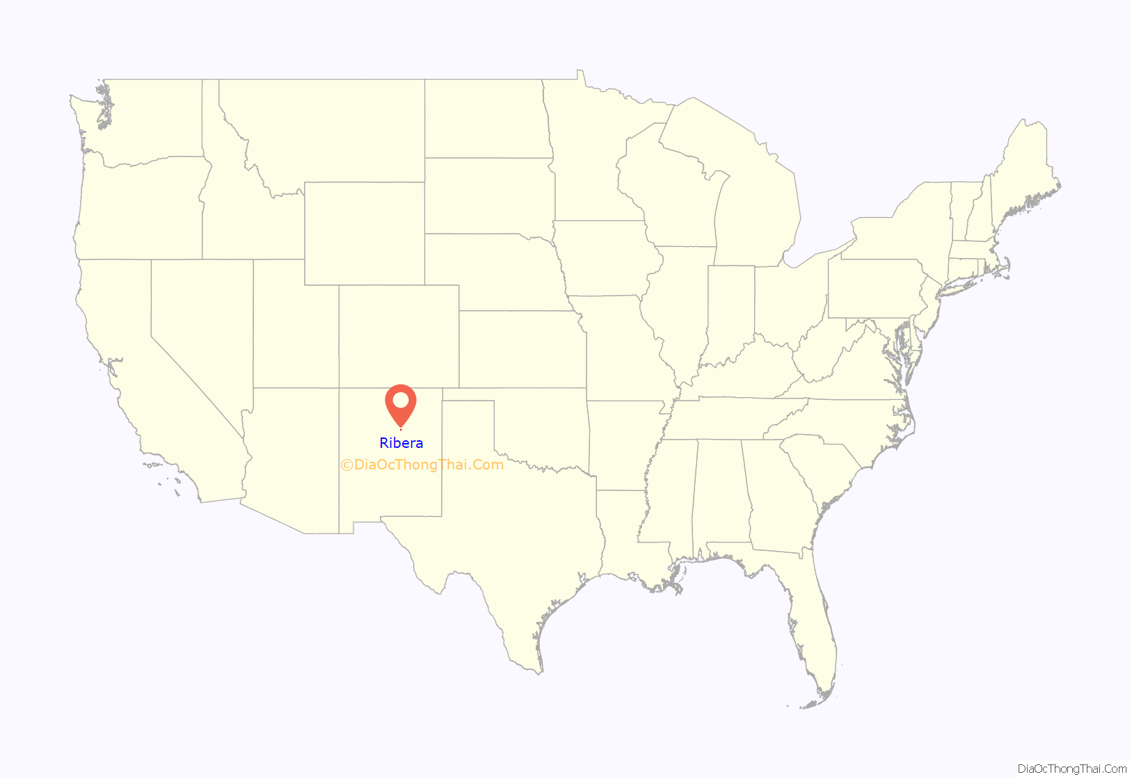
Ribera is an unincorporated community and census-designated place in San Miguel County, New Mexico. Located in the northern part of the state, it is at the foot of Rowe Mesa and along the Pecos River, 50 miles (80 km) southeast of Santa Fe.
| Name: | Ribera CDP |
|---|---|
| LSAD Code: | 57 |
| LSAD Description: | CDP (suffix) |
| State: | New Mexico |
| County: | San Miguel County |
| Total Area: | 2.52 sq mi (6.52 km²) |
| Land Area: | 2.52 sq mi (6.52 km²) |
| Water Area: | 0.00 sq mi (0.00 km²) |
| Total Population: | 314 |
| Population Density: | 124.75/sq mi (48.17/km²) |
| FIPS code: | 3562760 |
Online Interactive Map
Click on ![]() to view map in "full screen" mode.
to view map in "full screen" mode.
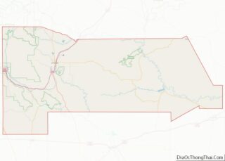
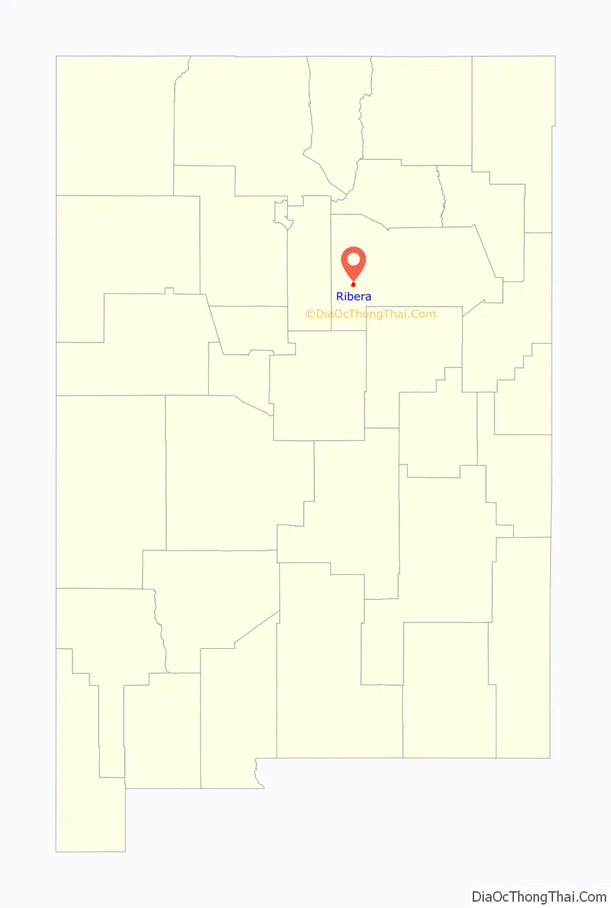
Ribera location map. Where is Ribera CDP?
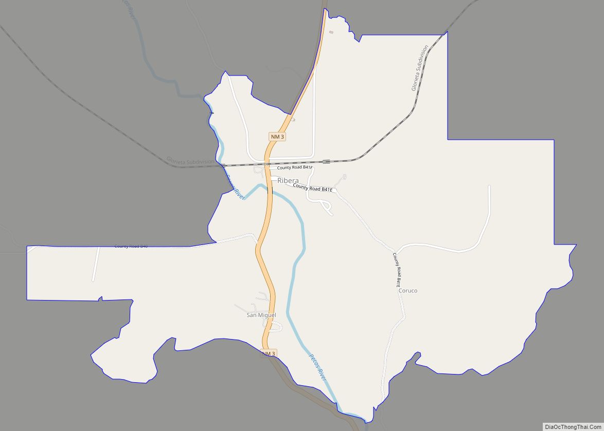
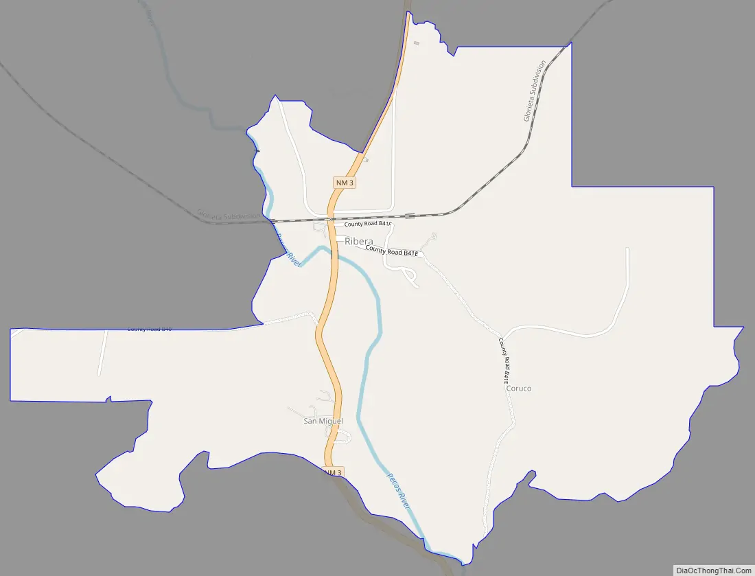
Ribera Road Map
Ribera city Satellite Map
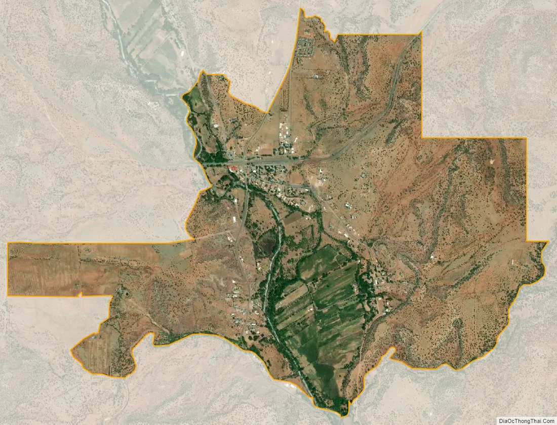
Geography
The town is divided by Interstate 25 and Route 3, which was along the original Route 66, and a great deal of evidence from the famous motor-tourist route still remains in the form of old rusted cars and long abandoned structures. The area is home to many artists and ranchers. The town has a now closed gas station and general store called Sunshine Station. The town had one restaurant that is a well-known landmark throughout the surrounding area named La Risa Cafe (formerly known as the Sad Cafe), as well as a nearby general store of the same name; the hours of operation are sporadic.
East of Ribera is the site of the Imus Ranch, a non-profit organization that from 1999 to 2014 helped children of all ages afflicted with cancer. The FOX Business program Imus in the Morning regularly broadcast from the Imus Ranch.
South of Ribera is San Miguel del Vado, an even smaller unincorporated community and a former stop on the Santa Fe Trail. West of Ribera is the Glorieta Mesa portion of the Santa Fe National Forest.
See also
Map of New Mexico State and its subdivision: Map of other states:- Alabama
- Alaska
- Arizona
- Arkansas
- California
- Colorado
- Connecticut
- Delaware
- District of Columbia
- Florida
- Georgia
- Hawaii
- Idaho
- Illinois
- Indiana
- Iowa
- Kansas
- Kentucky
- Louisiana
- Maine
- Maryland
- Massachusetts
- Michigan
- Minnesota
- Mississippi
- Missouri
- Montana
- Nebraska
- Nevada
- New Hampshire
- New Jersey
- New Mexico
- New York
- North Carolina
- North Dakota
- Ohio
- Oklahoma
- Oregon
- Pennsylvania
- Rhode Island
- South Carolina
- South Dakota
- Tennessee
- Texas
- Utah
- Vermont
- Virginia
- Washington
- West Virginia
- Wisconsin
- Wyoming