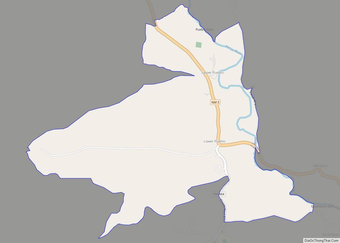
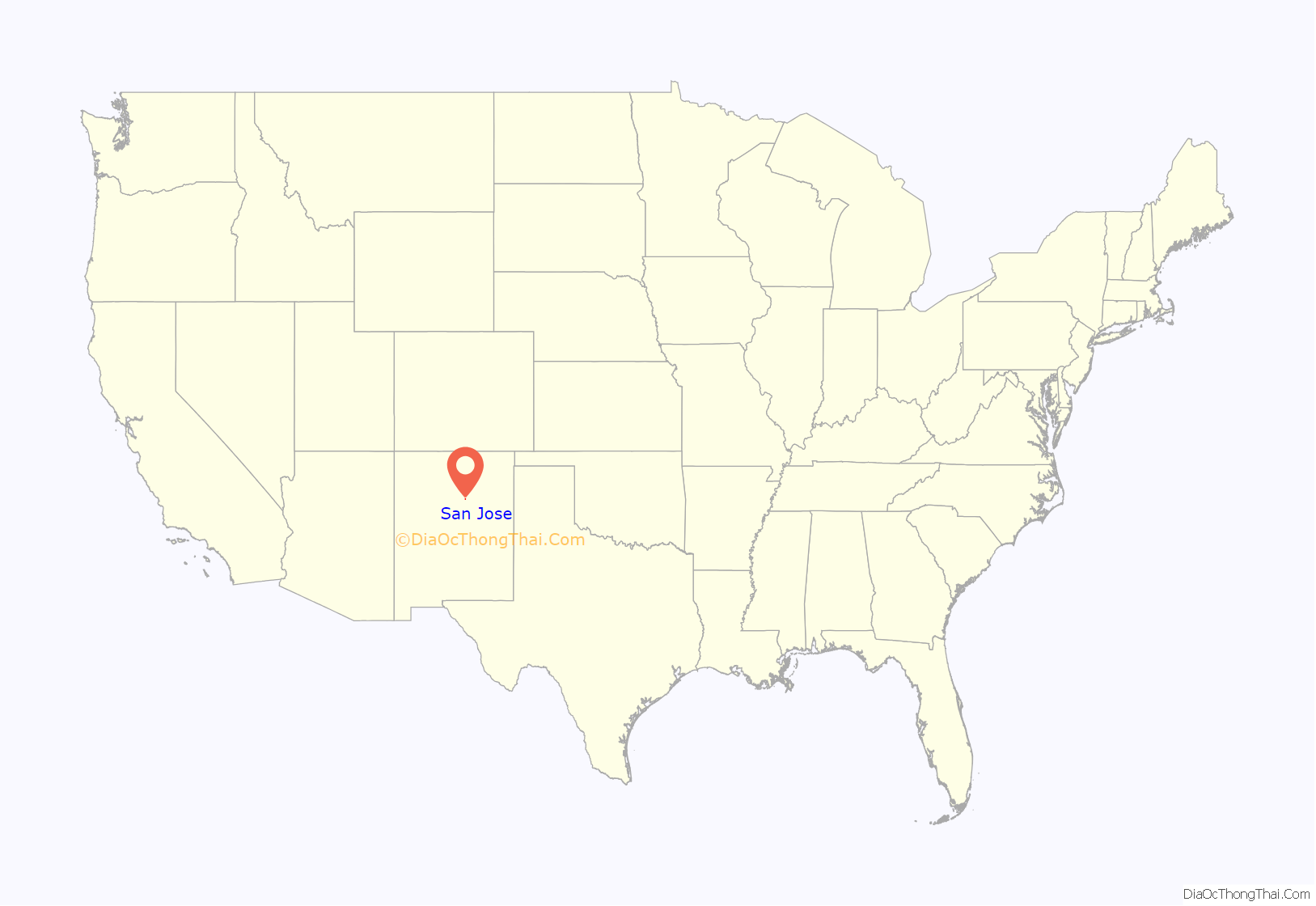
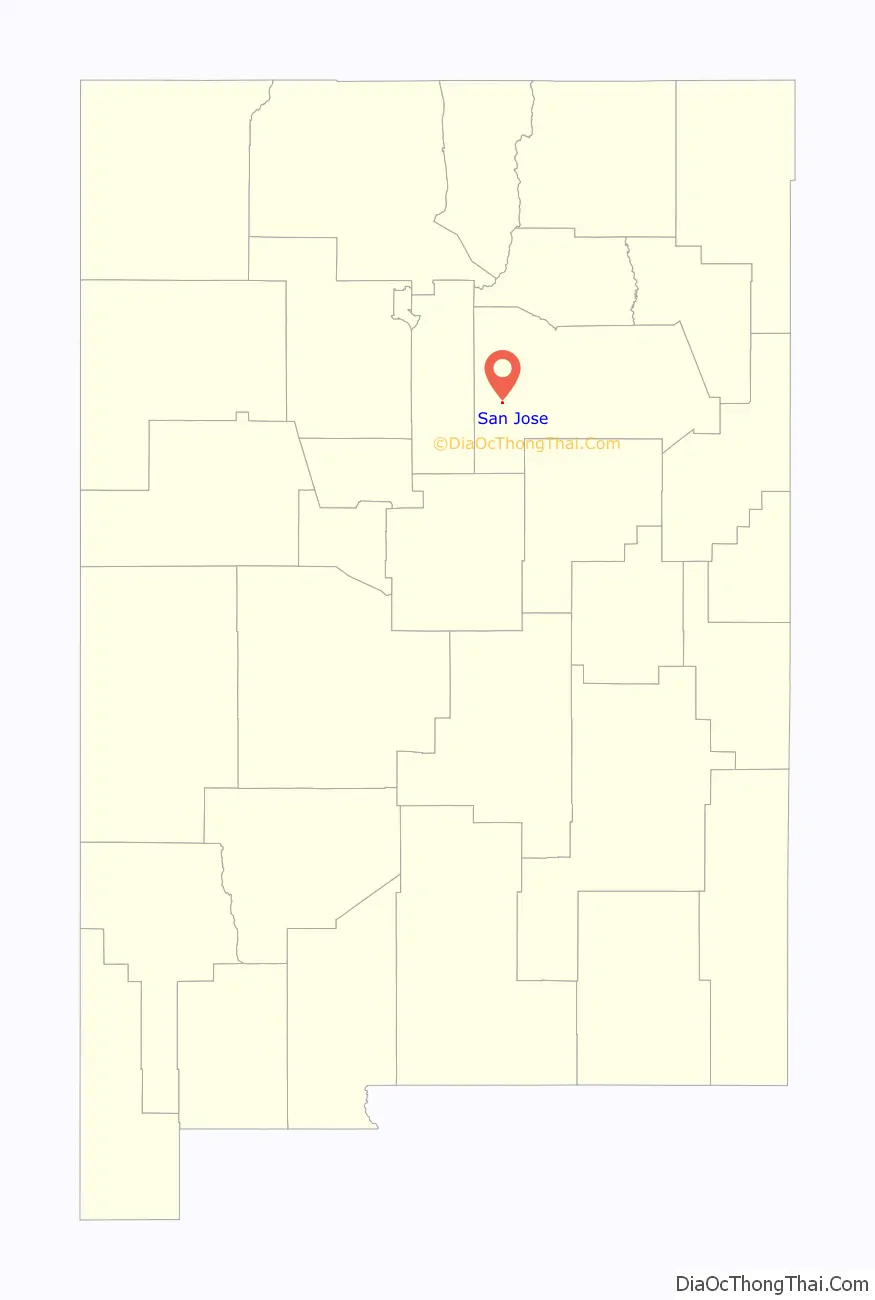
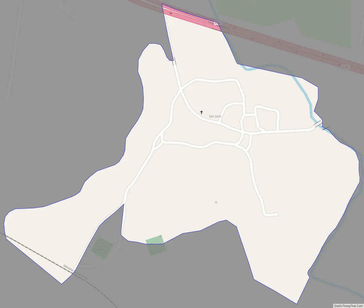
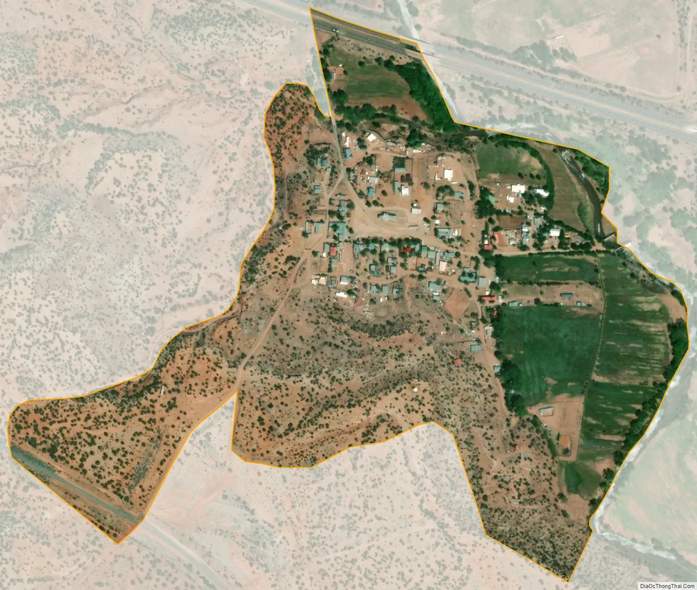
San Jose is a census-designated place in San Miguel County, New Mexico, United States. Its population was 137 as of the 2010 census. San Jose has a post office, with ZIP code 87565. Exit 319 of Interstate 25 serves the community.
San Jose was founded in 1803 when allotments of land were made to 45 men and two women by the Spanish government of New Mexico. The purpose of the settlement, and others in the Pecos River valley, was to defend the eastern flanks of the New Mexican settlements from Indian attacks, especially by the Apaches. Many of the early settlers were landless genizaros. Many of the comancheros and ciboleros who traded with the Comanche and hunted bison on the Great Plains came from San Jose and other Pecos Valley settlements.
| Name: | San Jose CDP |
|---|---|
| LSAD Code: | 57 |
| LSAD Description: | CDP (suffix) |
| State: | New Mexico |
| County: | San Miguel County |
| Elevation: | 6,109 ft (1,862 m) |
| Total Area: | 0.265 sq mi (0.69 km²) |
| Land Area: | 0.265 sq mi (0.69 km²) |
| Water Area: | 0 sq mi (0 km²) |
| Total Population: | 137 |
| Population Density: | 520/sq mi (200/km²) |
| ZIP code: | 87565 |
| Area code: | 505 |
| FIPS code: | 3568500 |
| GNISfeature ID: | 910633 |
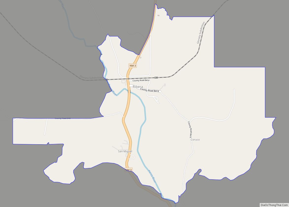
Online Interactive Map
Click on ![]() to view map in "full screen" mode.
to view map in "full screen" mode.
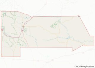
San Jose location map. Where is San Jose CDP?
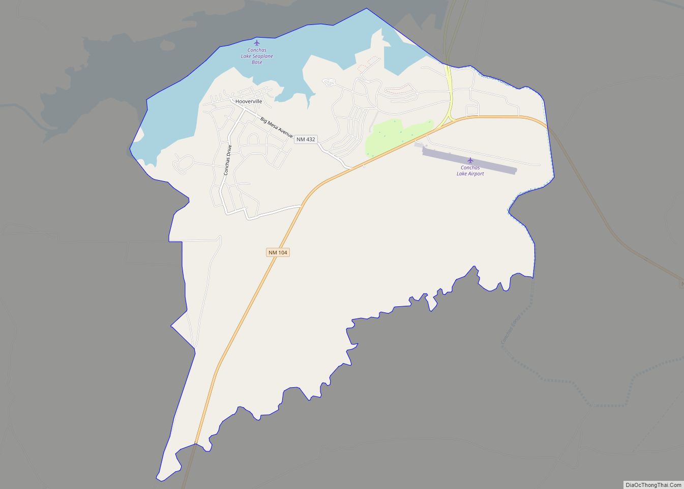
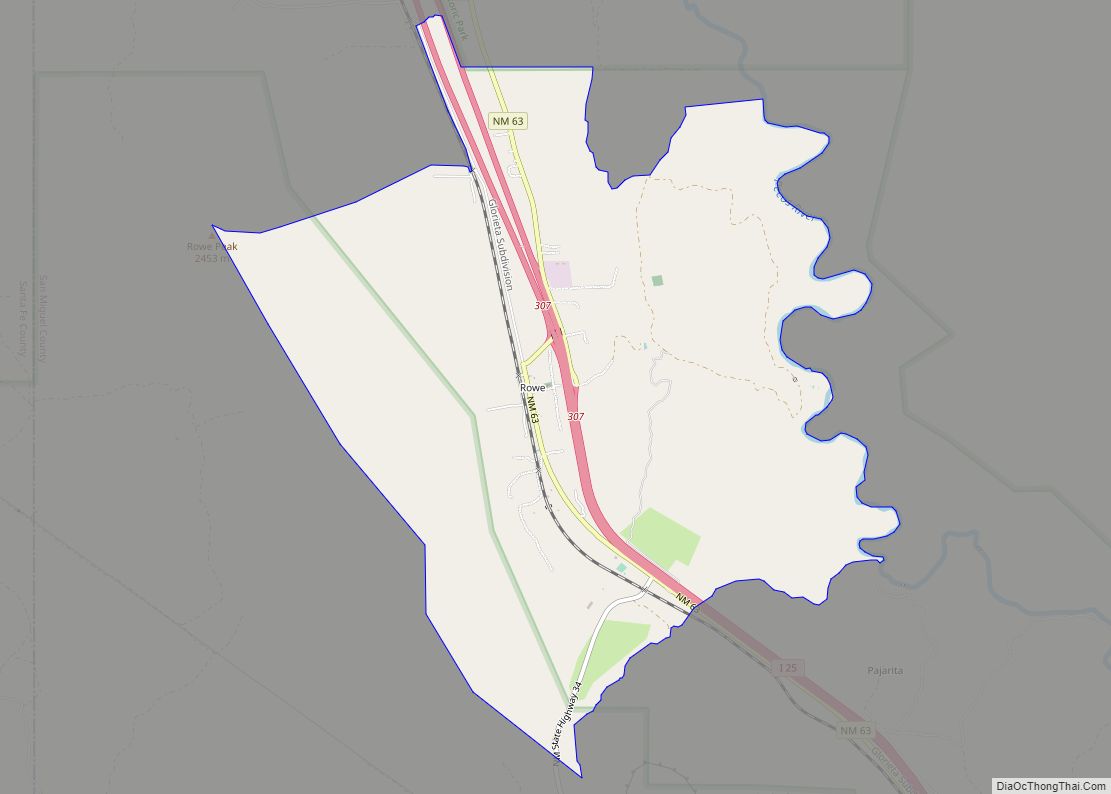
San Jose Road Map
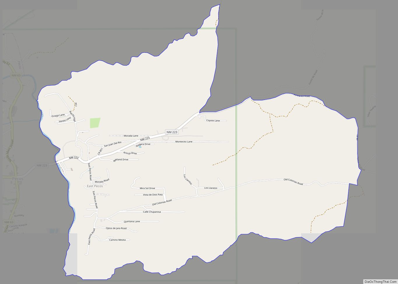
San Jose city Satellite Map
Geography
San Jose is located at 35°23′44″N 105°28′33″W / 35.395553°N 105.475887°W / 35.395553; -105.475887. According to the U.S. Census Bureau, the community has an area of 0.265 square miles (0.69 km), all land.
See also
Map of New Mexico State and its subdivision: Map of other states:- Alabama
- Alaska
- Arizona
- Arkansas
- California
- Colorado
- Connecticut
- Delaware
- District of Columbia
- Florida
- Georgia
- Hawaii
- Idaho
- Illinois
- Indiana
- Iowa
- Kansas
- Kentucky
- Louisiana
- Maine
- Maryland
- Massachusetts
- Michigan
- Minnesota
- Mississippi
- Missouri
- Montana
- Nebraska
- Nevada
- New Hampshire
- New Jersey
- New Mexico
- New York
- North Carolina
- North Dakota
- Ohio
- Oklahoma
- Oregon
- Pennsylvania
- Rhode Island
- South Carolina
- South Dakota
- Tennessee
- Texas
- Utah
- Vermont
- Virginia
- Washington
- West Virginia
- Wisconsin
- Wyoming