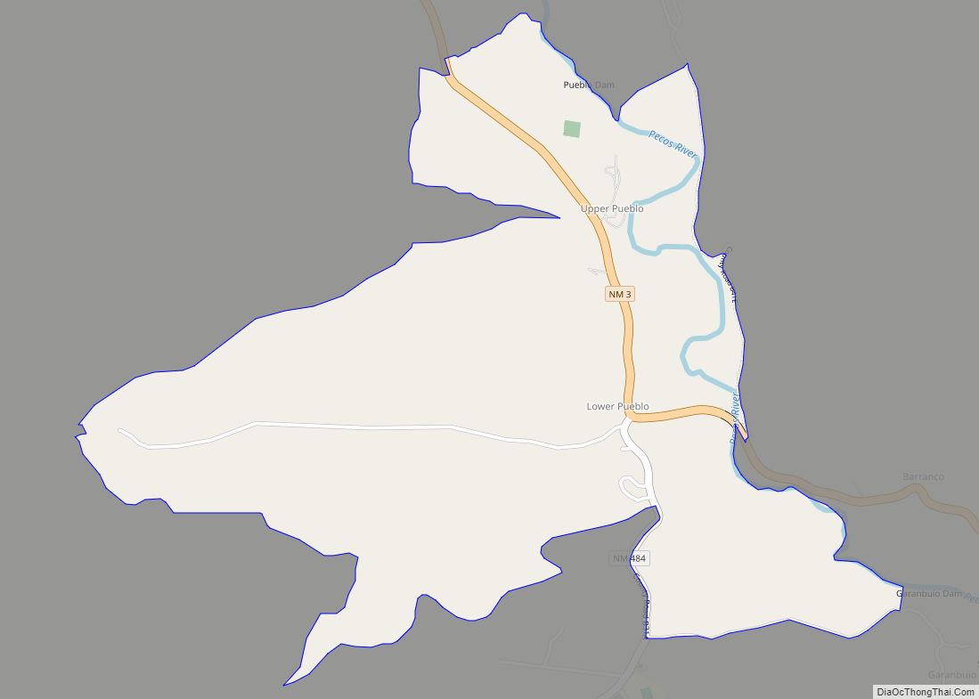
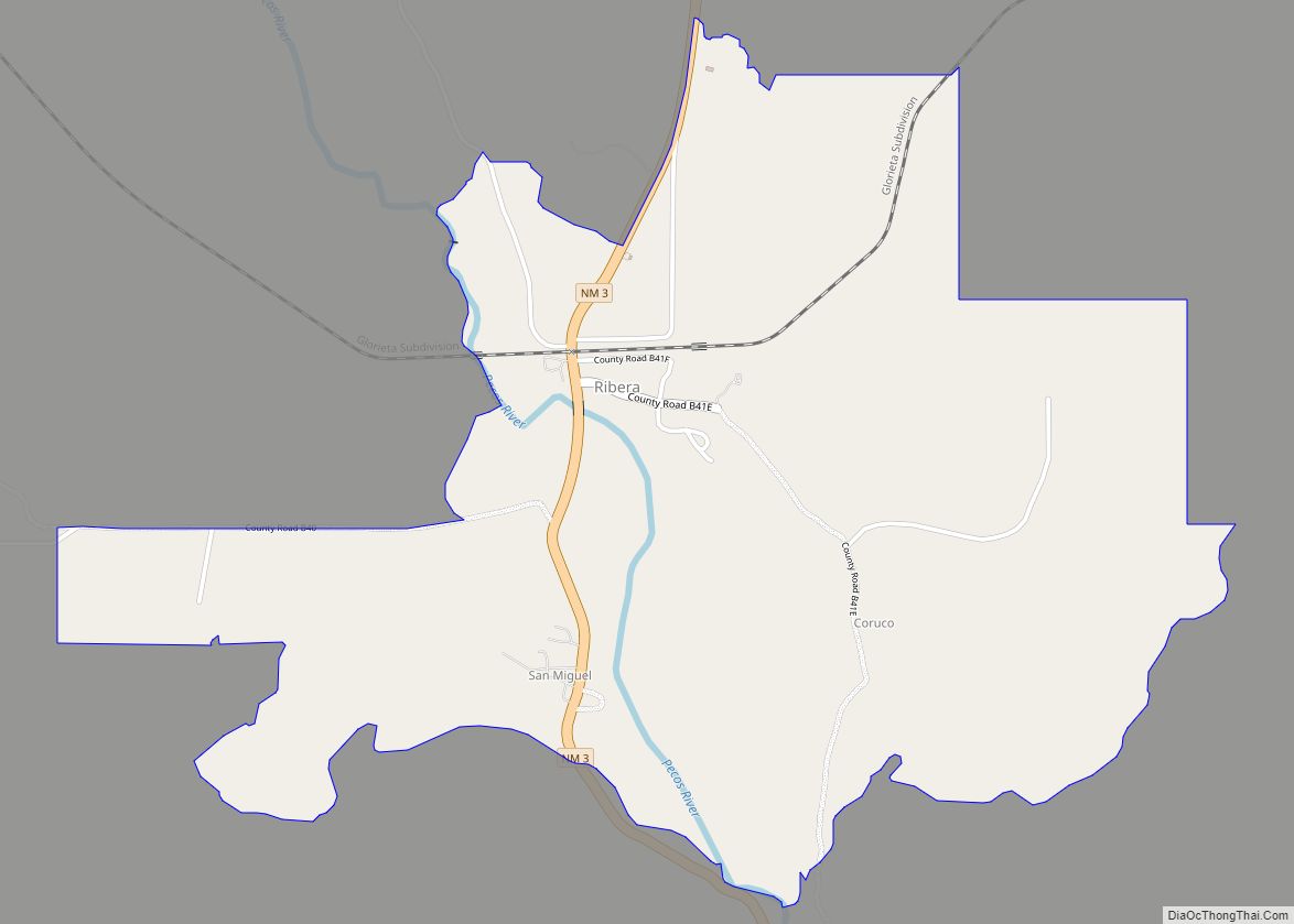
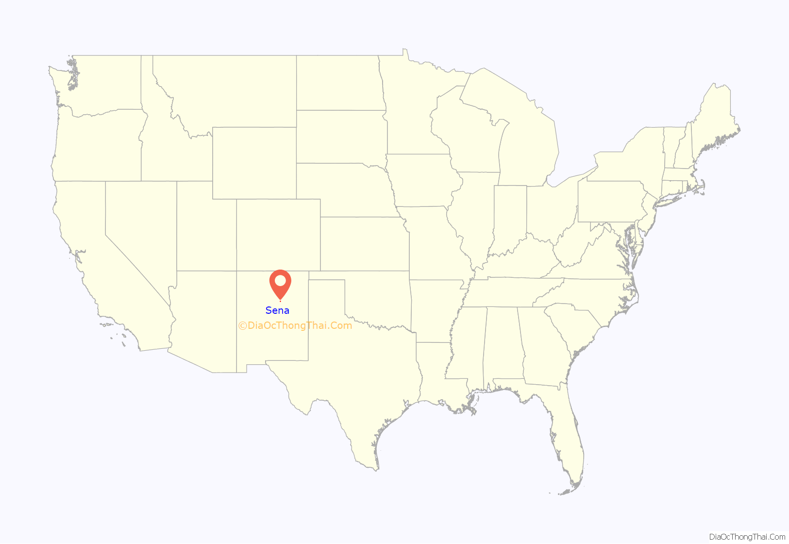
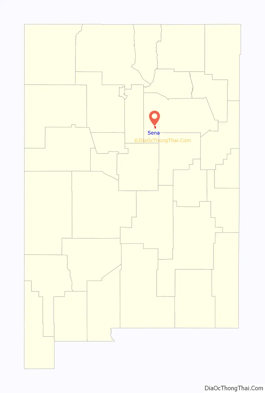
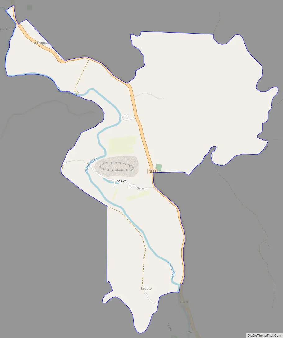
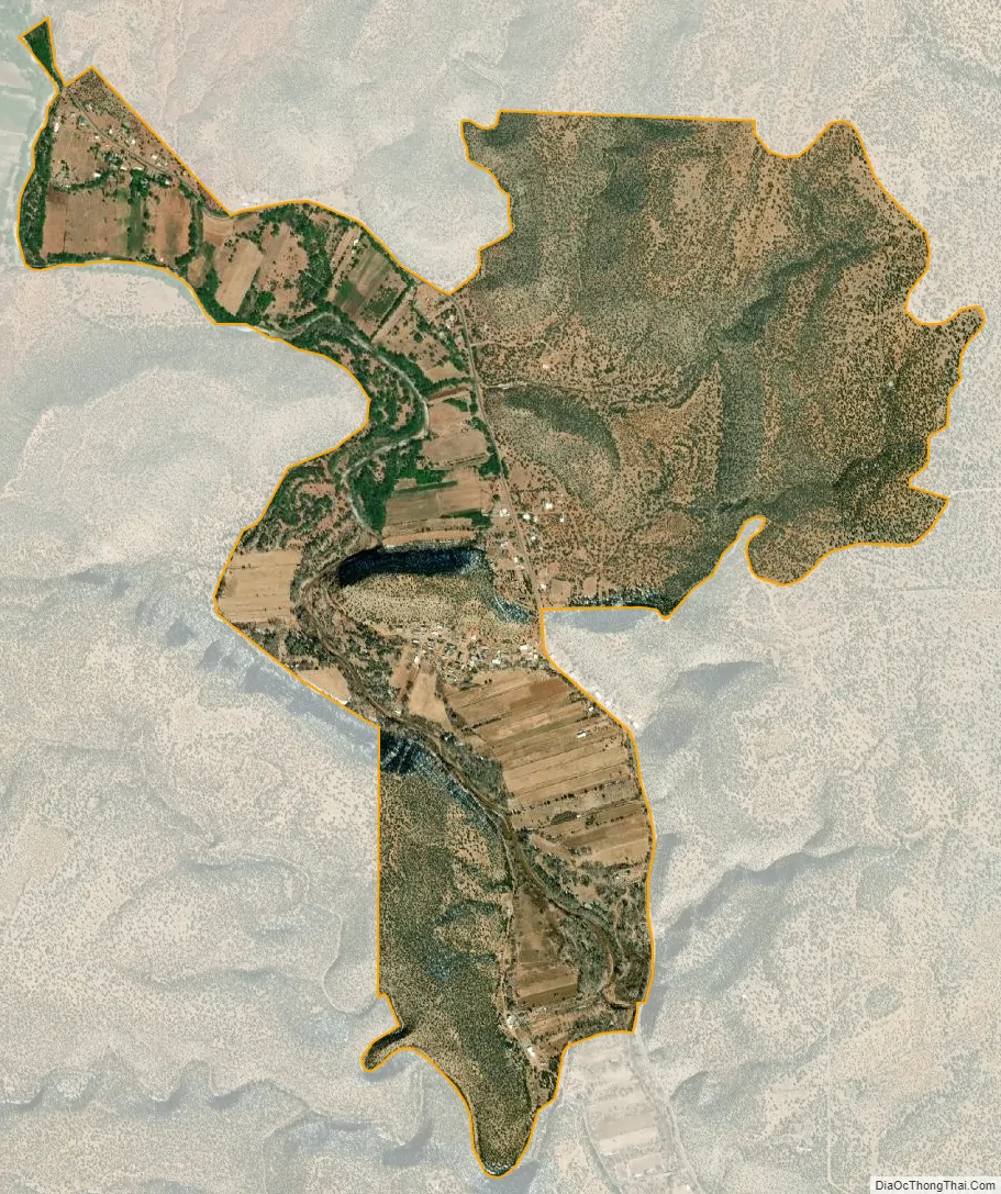
Sena is an unincorporated community and census-designated place in San Miguel County, New Mexico, United States. It is located along the Pecos River and New Mexico State Highway 3.
| Name: | Sena CDP |
|---|---|
| LSAD Code: | 57 |
| LSAD Description: | CDP (suffix) |
| State: | New Mexico |
| County: | San Miguel County |
| Elevation: | 5,876 ft (1,791 m) |
| Total Area: | 2.13 sq mi (5.51 km²) |
| Land Area: | 2.13 sq mi (5.51 km²) |
| Water Area: | 0.00 sq mi (0.00 km²) |
| Total Population: | 155 |
| Population Density: | 72.91/sq mi (28.15/km²) |
| Area code: | 505 |
| FIPS code: | 3571790 |
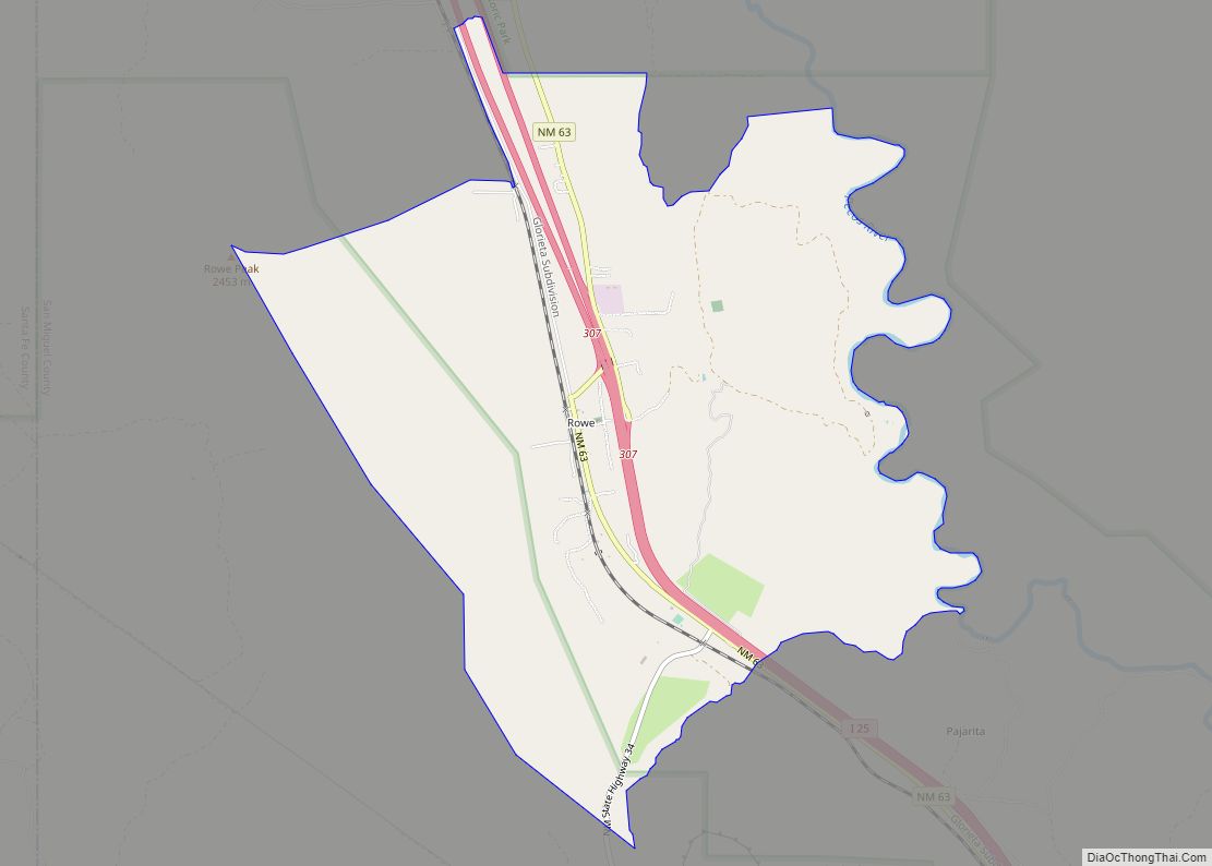
Online Interactive Map
Click on ![]() to view map in "full screen" mode.
to view map in "full screen" mode.
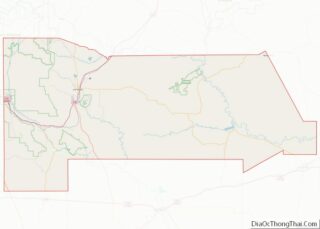
Sena location map. Where is Sena CDP?
History
Sena was founded in the 19th century.
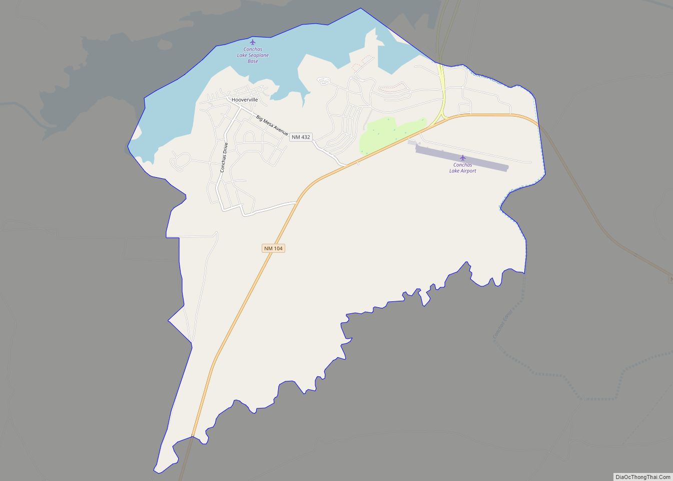
Sena Road Map
Sena city Satellite Map
See also
Map of New Mexico State and its subdivision: Map of other states:- Alabama
- Alaska
- Arizona
- Arkansas
- California
- Colorado
- Connecticut
- Delaware
- District of Columbia
- Florida
- Georgia
- Hawaii
- Idaho
- Illinois
- Indiana
- Iowa
- Kansas
- Kentucky
- Louisiana
- Maine
- Maryland
- Massachusetts
- Michigan
- Minnesota
- Mississippi
- Missouri
- Montana
- Nebraska
- Nevada
- New Hampshire
- New Jersey
- New Mexico
- New York
- North Carolina
- North Dakota
- Ohio
- Oklahoma
- Oregon
- Pennsylvania
- Rhode Island
- South Carolina
- South Dakota
- Tennessee
- Texas
- Utah
- Vermont
- Virginia
- Washington
- West Virginia
- Wisconsin
- Wyoming