Tecolotito is an unincorporated community and census-designated place in San Miguel County, New Mexico, United States. The word “Tecolotito” has its origin in the Nahuatl language. Adopted into Spanish it means “small owl.” The population of the community was 232 as of the 2010 census, of which 213 people were of Hispanic origin.
| Name: | Tecolotito CDP |
|---|---|
| LSAD Code: | 57 |
| LSAD Description: | CDP (suffix) |
| State: | New Mexico |
| County: | San Miguel County |
| Elevation: | 5,321 ft (1,622 m) |
| Total Area: | 0.72 sq mi (1.86 km²) |
| Land Area: | 0.72 sq mi (1.86 km²) |
| Water Area: | 0.00 sq mi (0.00 km²) |
| Total Population: | 204 |
| Population Density: | 283.73/sq mi (109.61/km²) |
| Area code: | 505 |
| FIPS code: | 3576830 |
| GNISfeature ID: | 911582 |
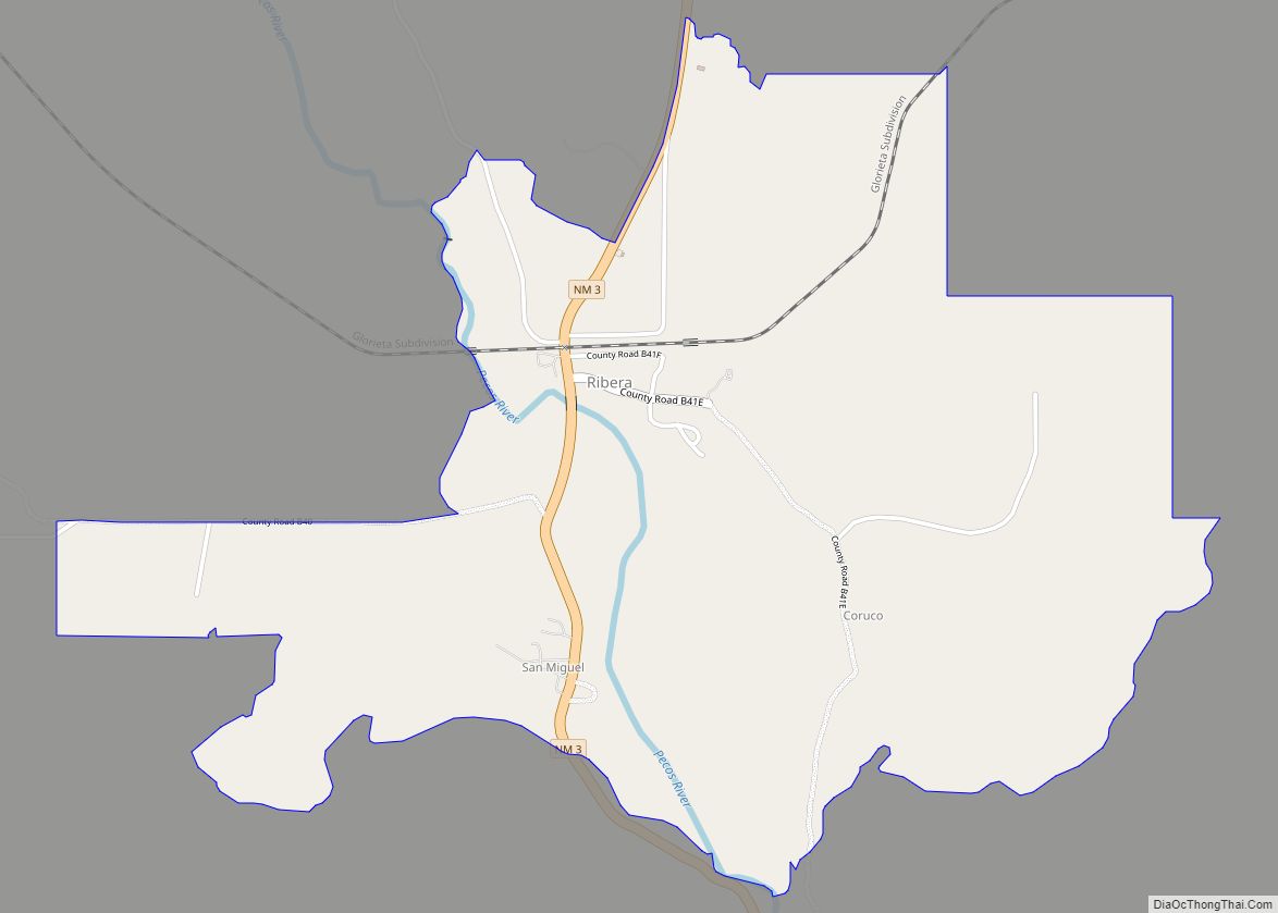
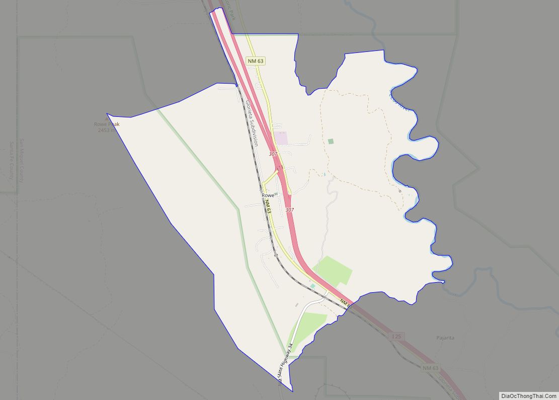
Online Interactive Map
Click on ![]() to view map in "full screen" mode.
to view map in "full screen" mode.
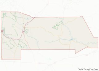
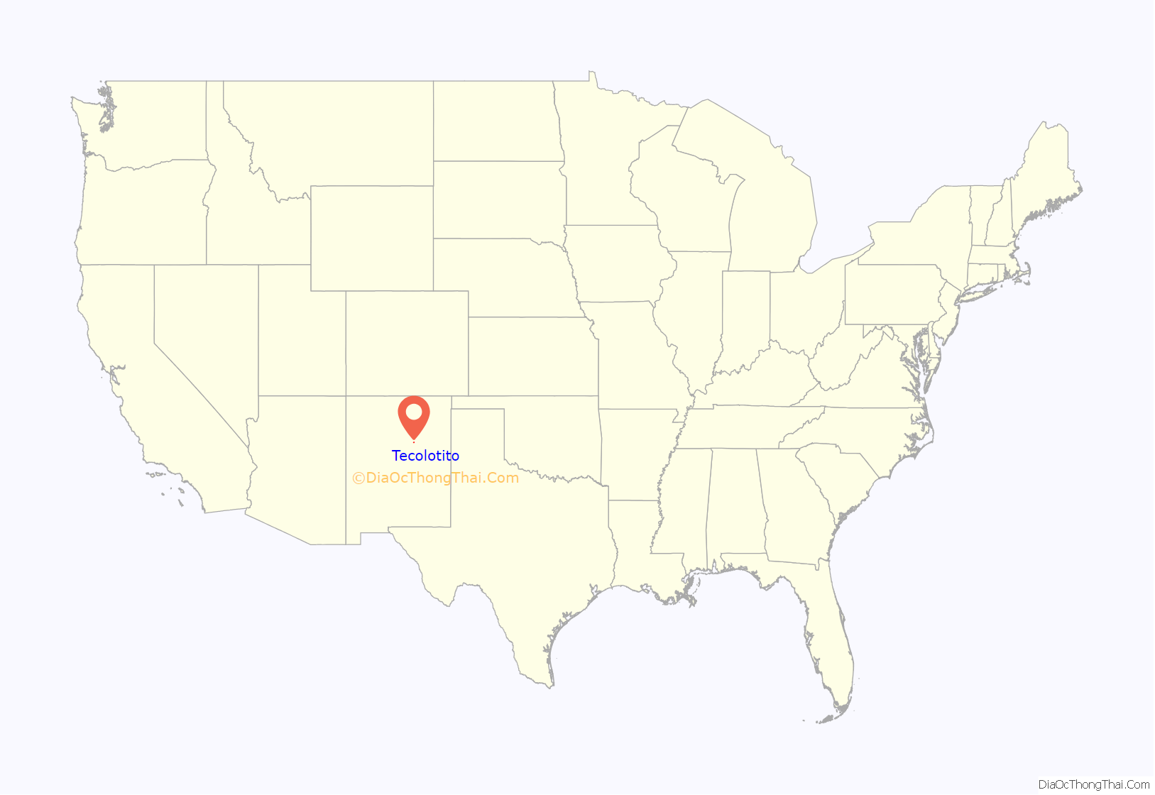
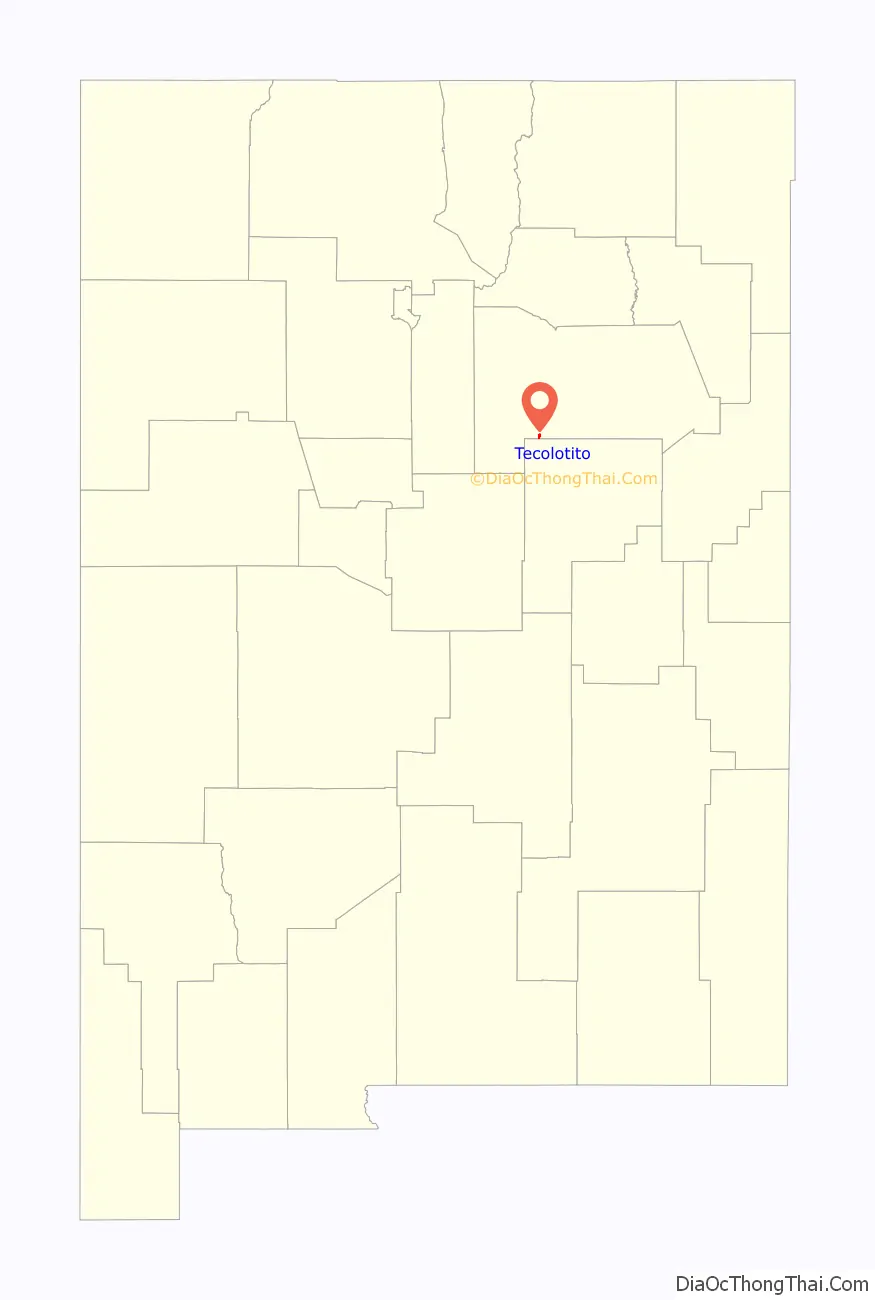
Tecolotito location map. Where is Tecolotito CDP?
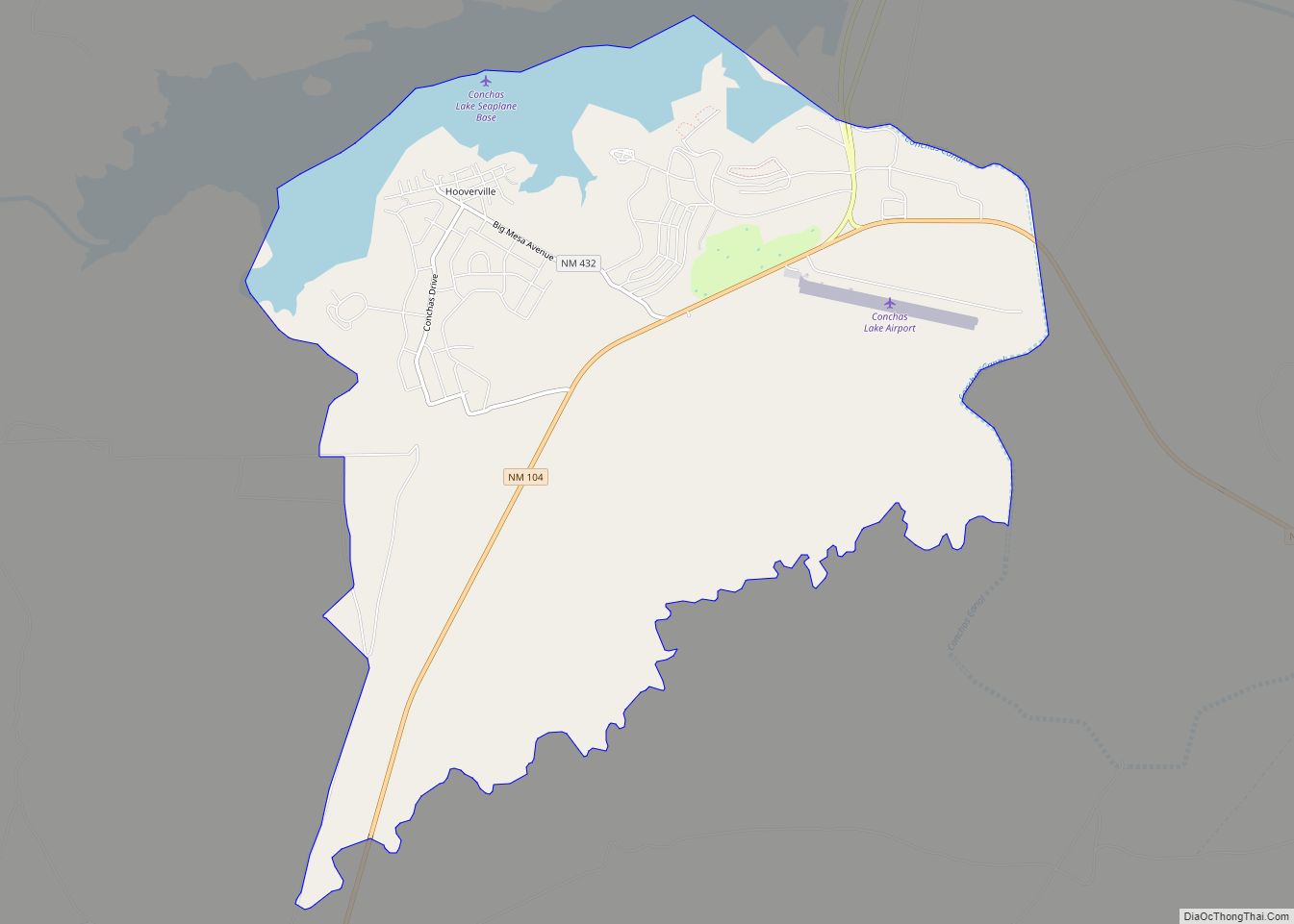
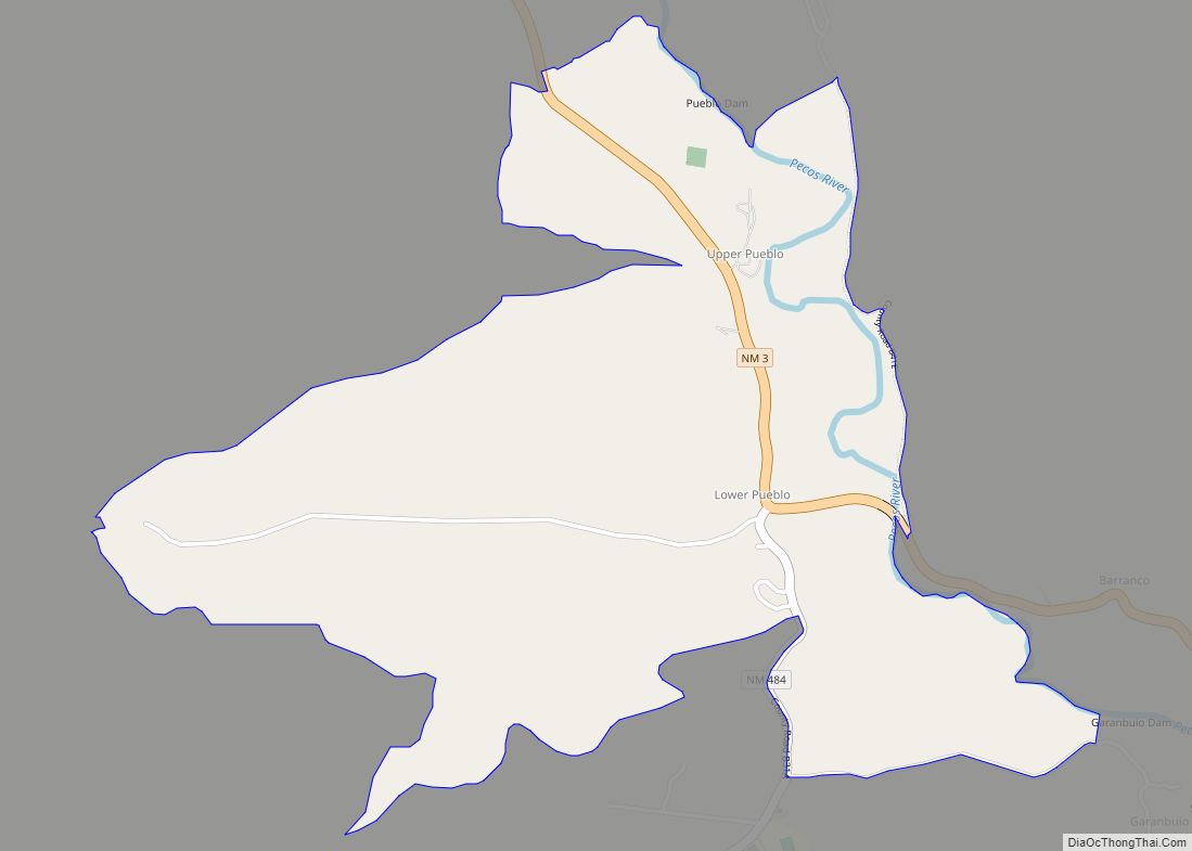
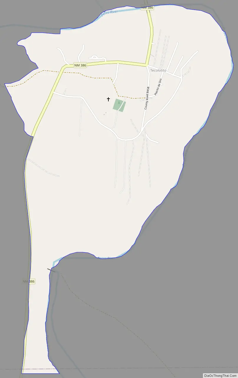
Tecolotito Road Map
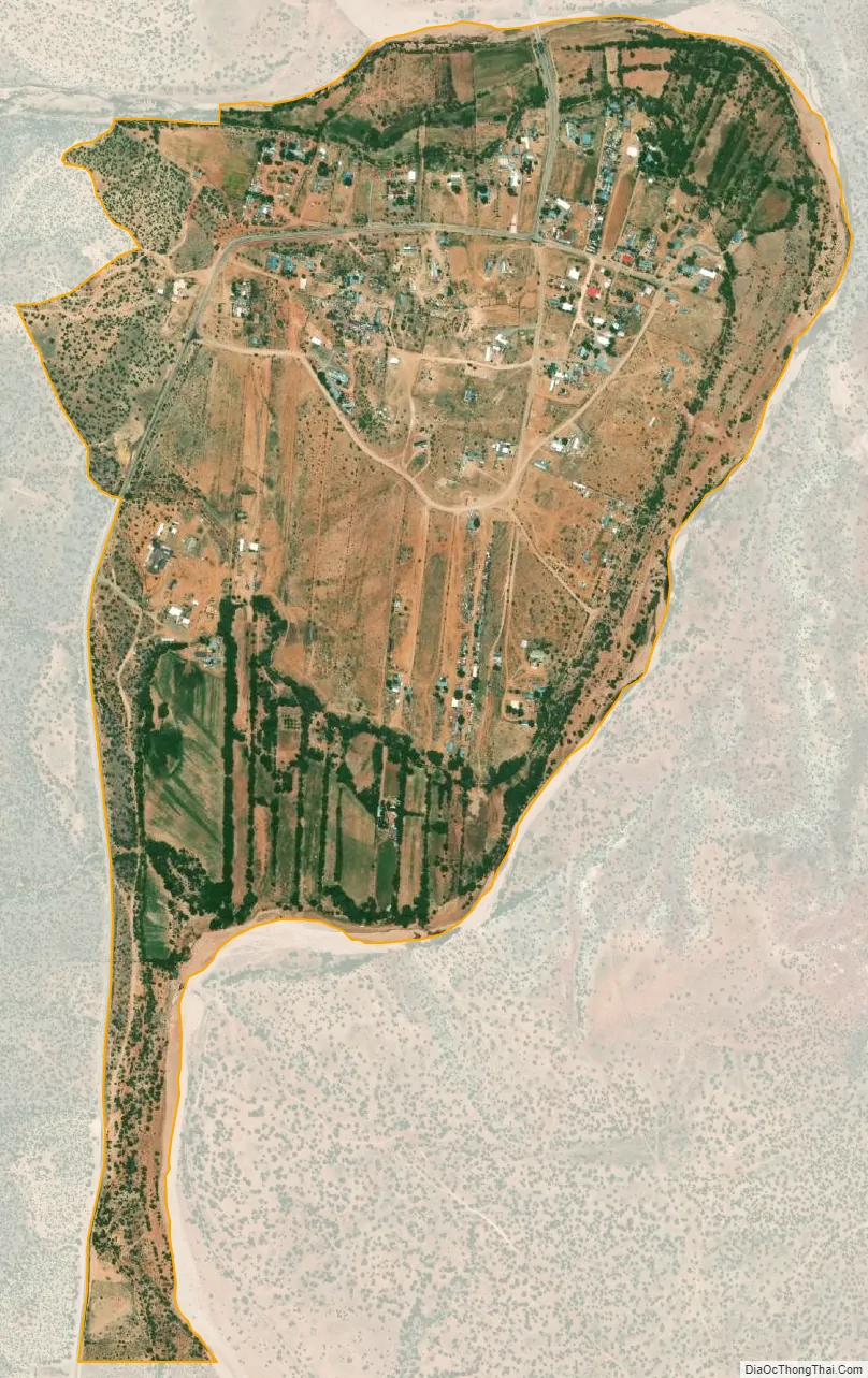
Tecolotito city Satellite Map
Geography
Tecolotito is located at 35°14′04″N 105°09′34″W / 35.2344939°N 105.1594474°W / 35.2344939; -105.1594474, near the junction of the Pecos River and Tecolote Creek. According to the U.S. Census Bureau, the community has an area of 0.715 square miles (1.85 km), all land. New Mexico State Road 386 passes through the community
See also
Map of New Mexico State and its subdivision: Map of other states:- Alabama
- Alaska
- Arizona
- Arkansas
- California
- Colorado
- Connecticut
- Delaware
- District of Columbia
- Florida
- Georgia
- Hawaii
- Idaho
- Illinois
- Indiana
- Iowa
- Kansas
- Kentucky
- Louisiana
- Maine
- Maryland
- Massachusetts
- Michigan
- Minnesota
- Mississippi
- Missouri
- Montana
- Nebraska
- Nevada
- New Hampshire
- New Jersey
- New Mexico
- New York
- North Carolina
- North Dakota
- Ohio
- Oklahoma
- Oregon
- Pennsylvania
- Rhode Island
- South Carolina
- South Dakota
- Tennessee
- Texas
- Utah
- Vermont
- Virginia
- Washington
- West Virginia
- Wisconsin
- Wyoming