Tularosa is a village in Otero County, New Mexico. It shares its name with the Tularosa Basin, in which the town is located. To the east, Tularosa is flanked by the western edge of the Sacramento Mountains. The population was 2,842 at the 2010 census. During the 1990s and early 2000s, the town, north of the much larger Alamogordo, experienced moderate growth and construction as a bedroom community, especially in the housing industry. Tularosa is noted for its abundance of cottonwood shade trees and its efforts to preserve the adobe-style architecture of its past.
| Name: | Tularosa village |
|---|---|
| LSAD Code: | 47 |
| LSAD Description: | village (suffix) |
| State: | New Mexico |
| County: | Otero County |
| Elevation: | 4,511 ft (1,375 m) |
| Total Area: | 2.82 sq mi (7.30 km²) |
| Land Area: | 2.82 sq mi (7.30 km²) |
| Water Area: | 0.00 sq mi (0.00 km²) |
| Total Population: | 2,553 |
| Population Density: | 905.64/sq mi (349.66/km²) |
| ZIP code: | 88352 |
| Area code: | Area code 575 |
| FIPS code: | 3579980 |
| GNISfeature ID: | 2413595 |
| Website: | http://www.villageoftularosa.com |
Online Interactive Map
Click on ![]() to view map in "full screen" mode.
to view map in "full screen" mode.
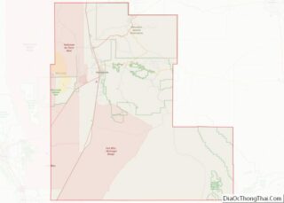
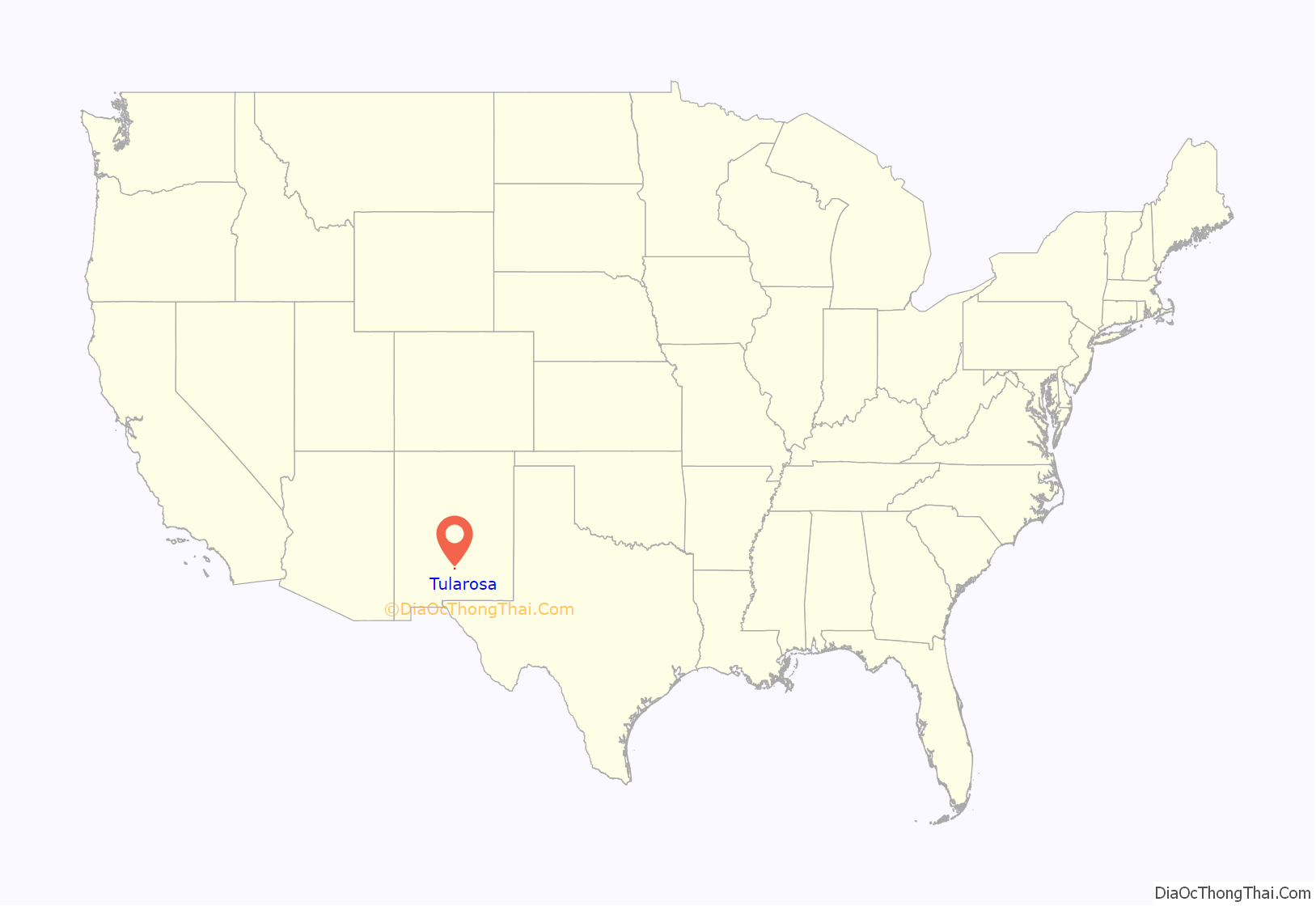
Tularosa location map. Where is Tularosa village?

History
Tularosa gets its name from the Spanish description for the red or rose colored reeds growing along the banks of the Rio Tularosa. The Rio Tularosa, which still exists along the north side of the village, attracted the original settlers as a water source in the desert. Settlers attempted to establish a settlement in 1860 but were unsuccessful due to Mescalero Apache raids. Two years later, after a battle at nearby Round Mountain, Hispanic farmers from the Rio Grande valley succeeded in settling the area. The Mission Church, St Francis de Paula was built to honor a promise made to St Francis that if no one was killed in the battle at Round Mountain, the townspeople would build a church dedicated to him. In 1863, the Town of Tularosa was formally established and was mapped with 49 blocks and water rights distributed and recorded.
The original acequia (ditch irrigation system) remains virtually unchanged and provides the water for the trees lining the streets, private gardens, and landscaping that give Tularosa its unique character.
In 1979, the Tularosa Original Townsite District, consisting of the original 49 blocks on 1,400 acres (5.7 km) including 182 buildings, was declared a historic district and recorded in the National Register of Historic Places.
In 2008 Tularosa became an affiliate of Keep America Beautiful. The local branch of the program, Keep Tularosa Beautiful, received a grant in 2008 of $10,000 for beautification projects from Waste Management.
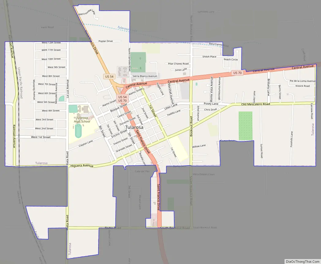
Tularosa Road Map
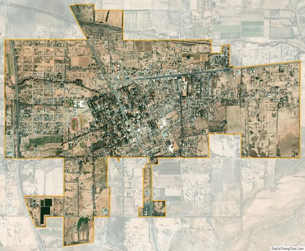
Tularosa city Satellite Map
Geography
Tularosa is located at 33°4′35″N 106°1′18″W / 33.07639°N 106.02167°W / 33.07639; -106.02167 (33.076282, -106.021699).
According to the United States Census Bureau, the village has a total area of 2.1 square miles (5.4 km), all land. At the northern side of town is the Tularosa Creek which flows out of Tularosa Canyon, descending from the Mescalero Apache Indian Reservation, and which separates the Sacramento Mountains to the south from the Sierra Blancas to the north. The Coyote Hills are to the north-east of town, foothills of the Sacramentos.
See also
Map of New Mexico State and its subdivision: Map of other states:- Alabama
- Alaska
- Arizona
- Arkansas
- California
- Colorado
- Connecticut
- Delaware
- District of Columbia
- Florida
- Georgia
- Hawaii
- Idaho
- Illinois
- Indiana
- Iowa
- Kansas
- Kentucky
- Louisiana
- Maine
- Maryland
- Massachusetts
- Michigan
- Minnesota
- Mississippi
- Missouri
- Montana
- Nebraska
- Nevada
- New Hampshire
- New Jersey
- New Mexico
- New York
- North Carolina
- North Dakota
- Ohio
- Oklahoma
- Oregon
- Pennsylvania
- Rhode Island
- South Carolina
- South Dakota
- Tennessee
- Texas
- Utah
- Vermont
- Virginia
- Washington
- West Virginia
- Wisconsin
- Wyoming