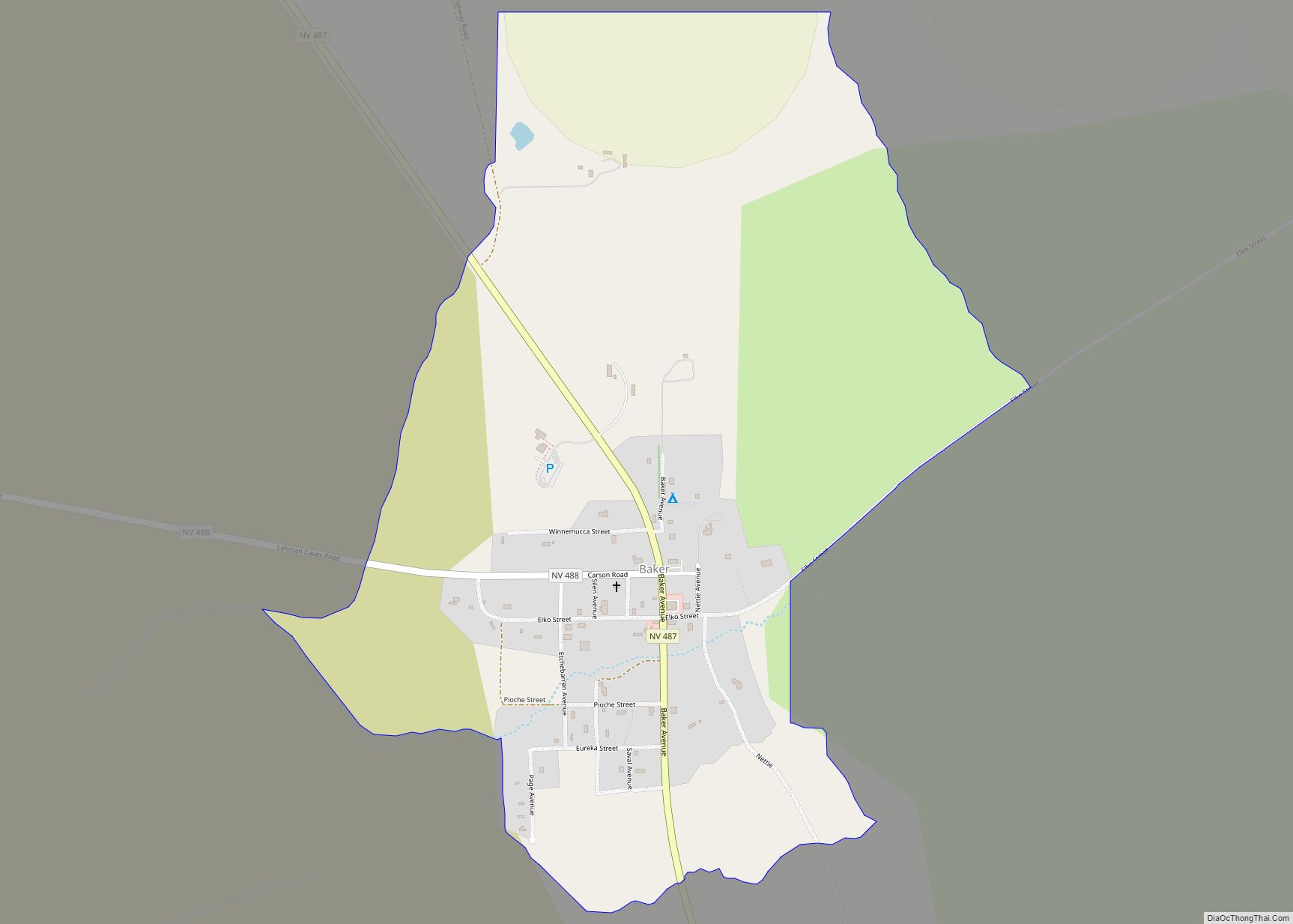
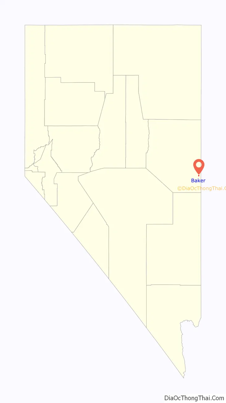
Baker is a census-designated place in southeastern White Pine County, Nevada, United States. It is located 5 miles (8.0 km) east of the main entrance of Great Basin National Park at the junction of State Routes 487 and 488. The town is named after an early settler, George W. Baker. Its population at the 2010 census was 68.
| Name: | Baker CDP |
|---|---|
| LSAD Code: | 57 |
| LSAD Description: | CDP (suffix) |
| State: | Nevada |
| County: | White Pine County |
| Elevation: | 5,315 ft (1,620 m) |
| Total Area: | 0.91 sq mi (2.35 km²) |
| Land Area: | 0.90 sq mi (2.34 km²) |
| Water Area: | 0.00 sq mi (0.01 km²) |
| Total Population: | 41 |
| Population Density: | 45.35/sq mi (17.51/km²) |
| ZIP code: | 89311 |
| Area code: | 775 |
| FIPS code: | 3204100 |
| GNISfeature ID: | 2629977 |
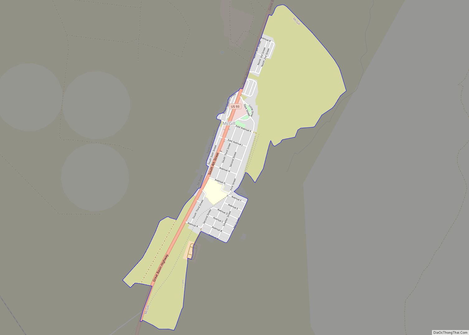
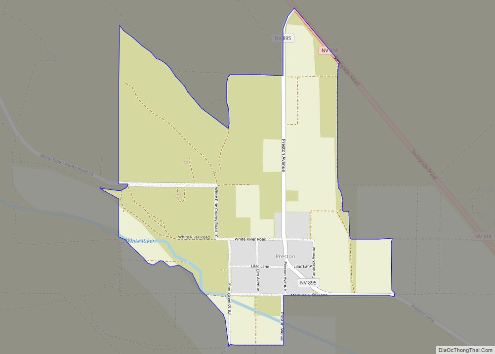
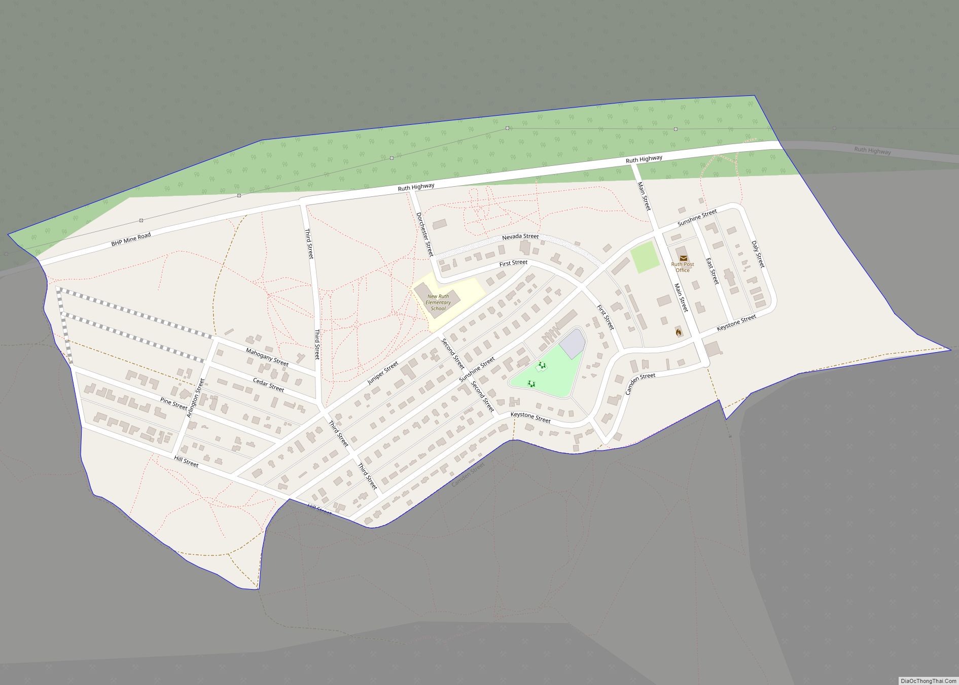
Online Interactive Map
Click on ![]() to view map in "full screen" mode.
to view map in "full screen" mode.
Baker location map. Where is Baker CDP?

Baker Road Map

Baker city Satellite Map

See also
Map of Nevada State and its subdivision: Map of other states:- Alabama
- Alaska
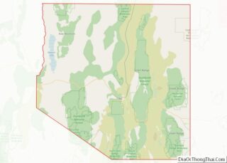
- Arizona
- Arkansas
- California
- Colorado
- Connecticut
- Delaware
- District of Columbia
- Florida
- Georgia
- Hawaii
- Idaho
- Illinois
- Indiana
- Iowa
- Kansas
- Kentucky
- Louisiana
- Maine
- Maryland
- Massachusetts
- Michigan
- Minnesota
- Mississippi
- Missouri
- Montana
- Nebraska
- Nevada
- New Hampshire
- New Jersey
- New Mexico
- New York
- North Carolina
- North Dakota
- Ohio
- Oklahoma
- Oregon
- Pennsylvania
- Rhode Island
- South Carolina
- South Dakota
- Tennessee
- Texas
- Utah
- Vermont
- Virginia
- Washington
- West Virginia
- Wisconsin
- Wyoming