Blue Diamond is a census-designated place (CDP) in Clark County, Nevada, United States. The population was 268 at the 2020 census.
| Name: | Blue Diamond CDP |
|---|---|
| LSAD Code: | 57 |
| LSAD Description: | CDP (suffix) |
| State: | Nevada |
| County: | Clark County |
| Elevation: | 3,383 ft (1,031 m) |
| Total Area: | 7.22 sq mi (18.69 km²) |
| Land Area: | 7.22 sq mi (18.69 km²) |
| Water Area: | 0.00 sq mi (0.00 km²) |
| Total Population: | 268 |
| Population Density: | 37.14/sq mi (14.34/km²) |
| ZIP code: | 89004 |
| FIPS code: | 3205700 |
| GNISfeature ID: | 0847248 |
Online Interactive Map
Click on ![]() to view map in "full screen" mode.
to view map in "full screen" mode.
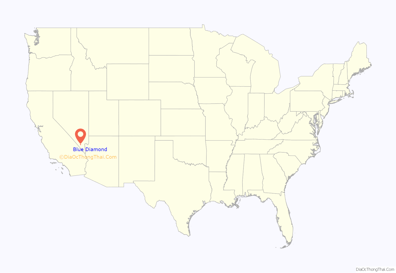
Blue Diamond location map. Where is Blue Diamond CDP?
History
Blue Diamond is the site of Cottonwood Spring (formerly known as Ojo de Cayetana, or Pearl Spring), a watering place and camp site on the Old Spanish Trail and the later Mormon Road between Mountain Springs and Las Vegas Springs. The springs are located on a mountainside south of the town at 36°02′44″N 115°24′22″W / 36.04556°N 115.40611°W / 36.04556; -115.40611 at an elevation of 3409 feet.
The nearby gypsum mine was purchased in 1923 by the Blue Diamond Corporation of California. The company opened a wallboard manufacturing plant at the site in 1941, and then began building a company town in 1942. The village of Cottonwood became known as Blue Diamondville that year, when a post office opened under that name. The name was changed to Blue Diamond later in the year, although some authorities continued to refer to it as Blue Diamondville until at least 1950.
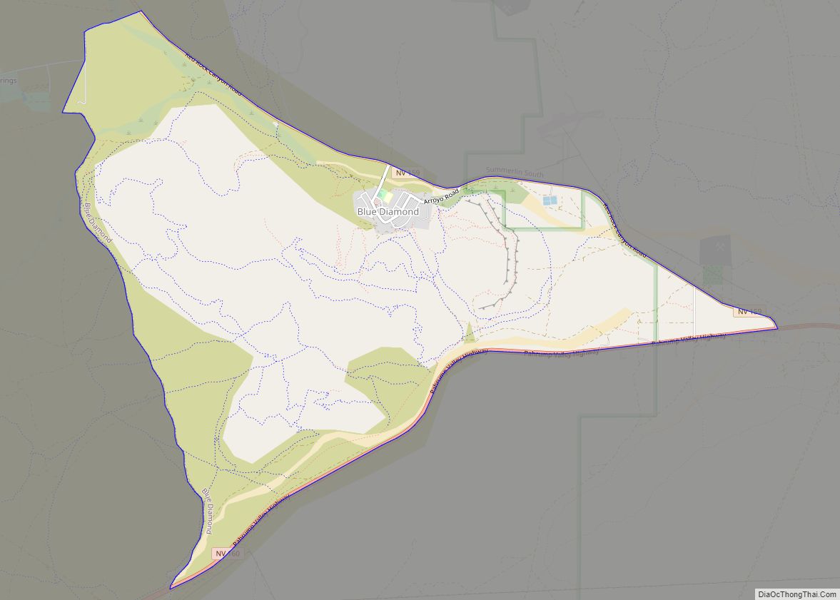
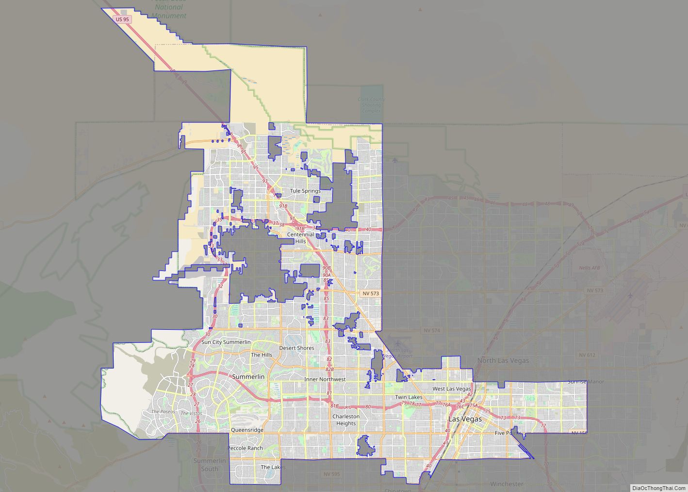
Blue Diamond Road Map
Blue Diamond city Satellite Map
Geography
Blue Diamond is located at 36°2′50″N 115°24′11″W / 36.04722°N 115.40306°W / 36.04722; -115.40306 (36.047090, -115.403166).
See also
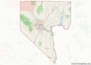
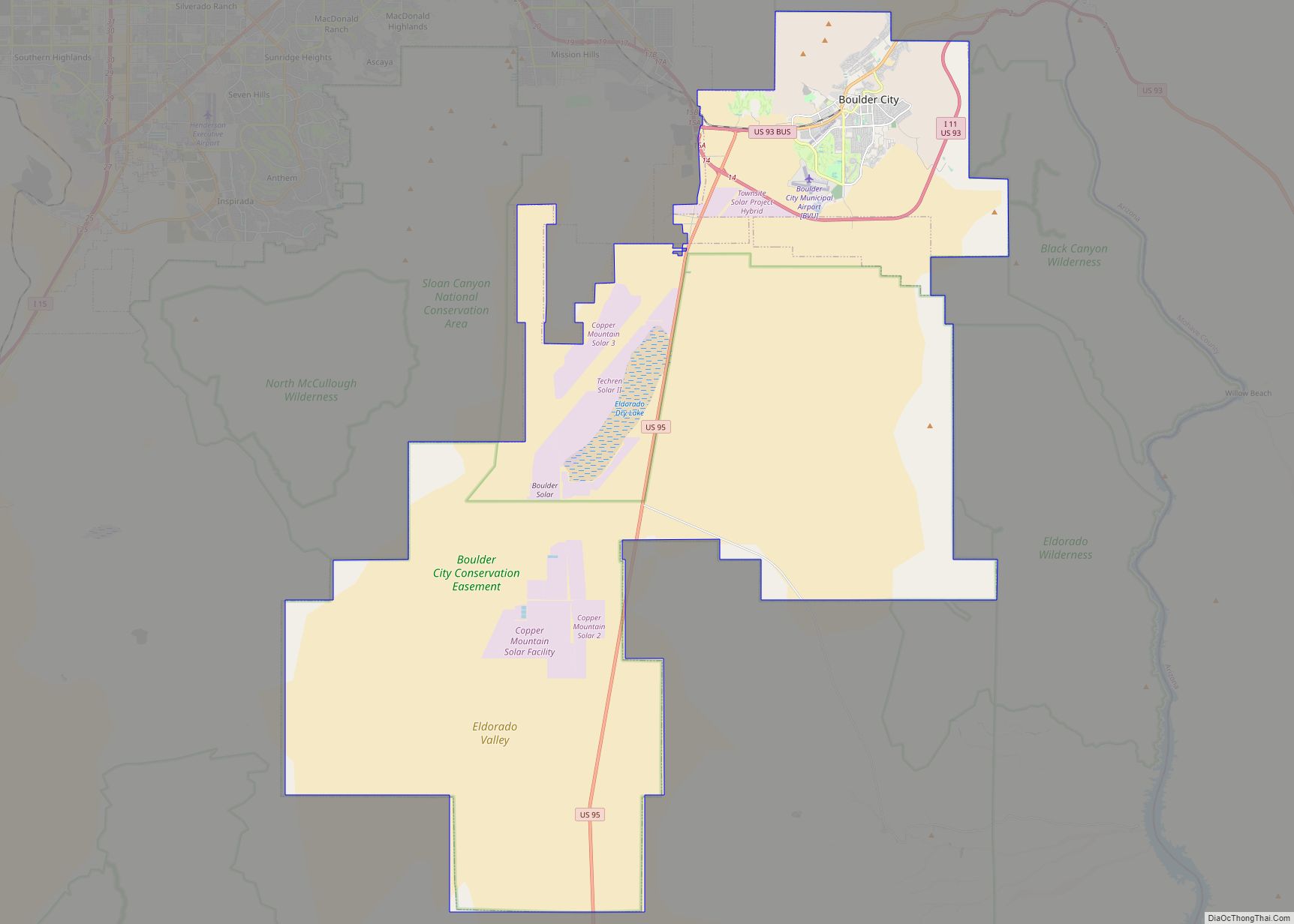
Map of Nevada State and its subdivision: Map of other states:- Alabama
- Alaska
- Arizona
- Arkansas
- California
- Colorado
- Connecticut
- Delaware
- District of Columbia
- Florida
- Georgia
- Hawaii
- Idaho
- Illinois
- Indiana
- Iowa
- Kansas
- Kentucky
- Louisiana
- Maine
- Maryland
- Massachusetts
- Michigan
- Minnesota
- Mississippi
- Missouri
- Montana
- Nebraska
- Nevada
- New Hampshire
- New Jersey
- New Mexico
- New York
- North Carolina
- North Dakota
- Ohio
- Oklahoma
- Oregon
- Pennsylvania
- Rhode Island
- South Carolina
- South Dakota
- Tennessee
- Texas
- Utah
- Vermont
- Virginia
- Washington
- West Virginia
- Wisconsin
- Wyoming
