Indian Springs is an unincorporated town and a census-designated place located on U.S. Route 95 next to Creech Air Force Base in northwestern Clark County and southern Nevada.
The population was 991 at the 2010 census.
| Name: | Indian Springs CDP |
|---|---|
| LSAD Code: | 57 |
| LSAD Description: | CDP (suffix) |
| State: | Nevada |
| County: | Clark County |
| Founded: | 1906; 117 years ago (1906) |
| Elevation: | 3,169 ft (966 m) |
| Total Area: | 18.04 sq mi (46.72 km²) |
| Land Area: | 18.04 sq mi (46.72 km²) |
| Water Area: | 0.00 sq mi (0.00 km²) |
| Total Population: | 912 |
| Population Density: | 50.55/sq mi (19.52/km²) |
| ZIP code: | 89018 |
| Area code: | 702 and 725 |
| FIPS code: | 3235300 |
| GNISfeature ID: | 0847373 |
Online Interactive Map
Click on ![]() to view map in "full screen" mode.
to view map in "full screen" mode.
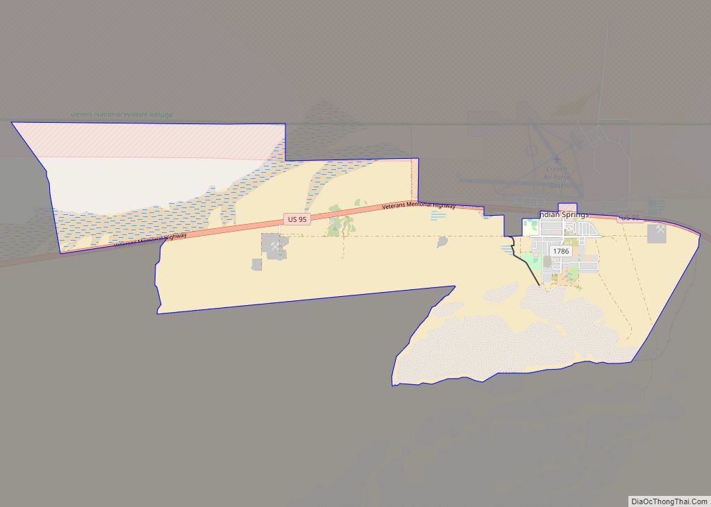
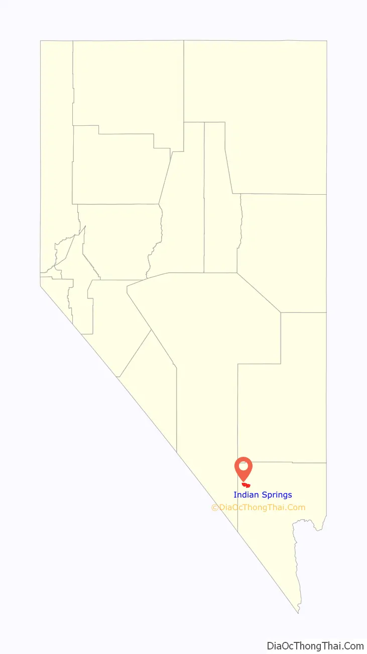
Indian Springs location map. Where is Indian Springs CDP?

History
The community was named for the fact Indians had settled on the springs near the original town site.
In 1906, Indian Springs became a way station and watering place for the Las Vegas and Tonopah Railroad. The original rail line ran under what is now US 95. The LV&T ceased operation in 1918.
Army Air Forces to Air Force Base
Indian Springs Auxiliary Airfield also known as Indian Springs Field, was rapidly constructed in Nevada by the United States Army Air Forces the month after the Pearl Harbor attack. Indian Springs was immediately entered into service as a training camp for Army Air Force B-25 air-to-air gunnery training, and as a divert field for Las Vegas Army Airfield.
In 1947, Las Vegas AAF was inactivated, and so was Indian Springs.
One year later, Indian Springs was reactivated as Indian Springs Air Force Base by the new United States Air Force, with a new role as a new weapons systems and aircraft research and testing. Among these missions were support for nuclear arms testing at the Nevada Proving Grounds, high-altitude balloon search and retrieval, new gunnery and rocketry systems, and testing of experimental aircraft. For a period of the 1950s and 1960s Indian Springs AFB housed some of the most advanced aircraft and air weapons systems in the world.
In the 1960s, Indian Springs AFB was transferred to the Tactical Air Wing and re-designated as Indian Springs Air Force Auxiliary Field. The Indian Springs mission was focused on monitoring of Nellis range, and became the remote training site of the USAF Thunderbirds elite air demonstration squadron. The 1982 “Diamond Crash” caused the deaths of four Thunderbird pilots and hastened their transition from the T-38A Talon to the F-16C Fighting Falcon.
Indian Springs Air Force Auxiliary Field was renamed Creech Air Force Base in 2005, in honor of General Wilbur L. “Bill” Creech, a former commander of the Tactical Air Command. Also in the 2000s, Creech AFB began to host the 432d Wing and 432d Air Expeditionary Wing, operating/flying unmanned aerial vehicles, and returning the base to its history as a base of advanced special aircraft development.
The base also hosts the operations of the 556th Test and Evaluation Squadron and 99th Ground Combat Training Squadron, The National Desert Warfare Center, and those of the Air Force Reserve’s 78th Reconnaissance Squadron, 91st RS, and Nevada Air National Guard’s 232nd Operations Squadron.
“Wild Bill” Williams
George and Belle Lattimer owned a ranch where the Indian Springs Hotel & Casino was located until October 1, 2014 when it was closed by the USAF to expand a security buffer around Creech AFB. In 1906, George Lattimer was bitten by an insect, or perhaps a brown recluse spider, and Belle hitched the wagon to take him into the doctor. A 16-year-old Paiute Indian boy named Coachie Siegmuller was left to watch the ranch.
While they were gone, Siegmuller saw another Paiute named Bill “Wild Bill” Williams approached the ranch. Williams was known as “bad” and Siegmuller was terrified of him. Williams was notorious for exploiting young Paiute men by hiring them out to local ranchers and then pocketing their wages. Williams was there that day to collect some of these wages. Finding no one home, Williams stretched out on the porch and was soon fast asleep. Siegmuller felt he needed to defend the ranch, fetched a rifle from the kitchen, silently crept up on Williams, and shot him dead in the head.
Coachie Siegmuller pleaded guilty to the murder and was sentenced to death. The area’s Paiute Reservation, the Las Vegas Indian Colony, threatened to go to war over the death penalty, and to keep the peace Siegmuller was instead sentenced to three years in the Carson City Prison. The Lattimers buried Wild Bill Williams behind the ranch. Dogs kept digging his remains up, so they were buried a few times before staying under.
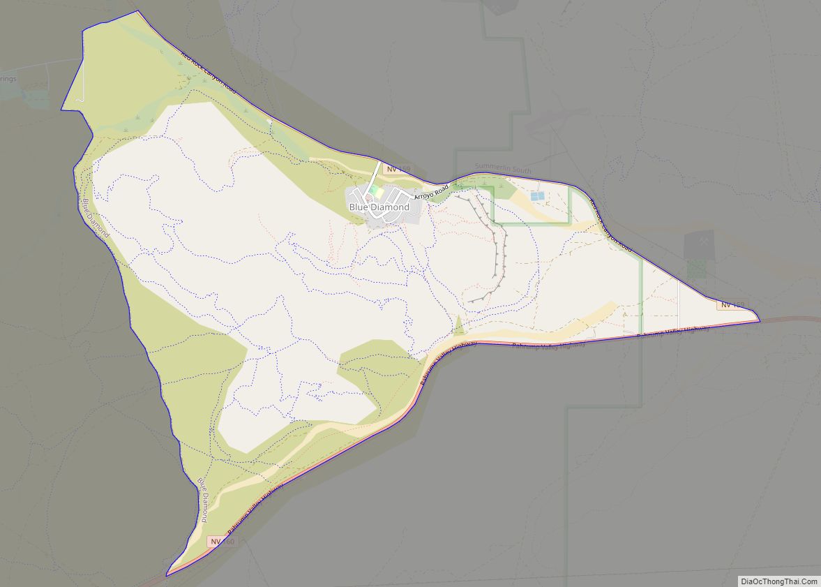
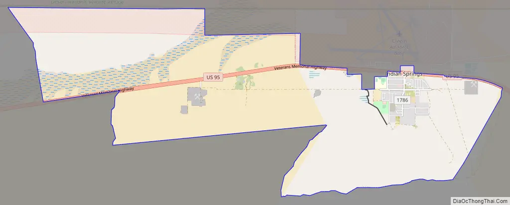
Indian Springs Road Map
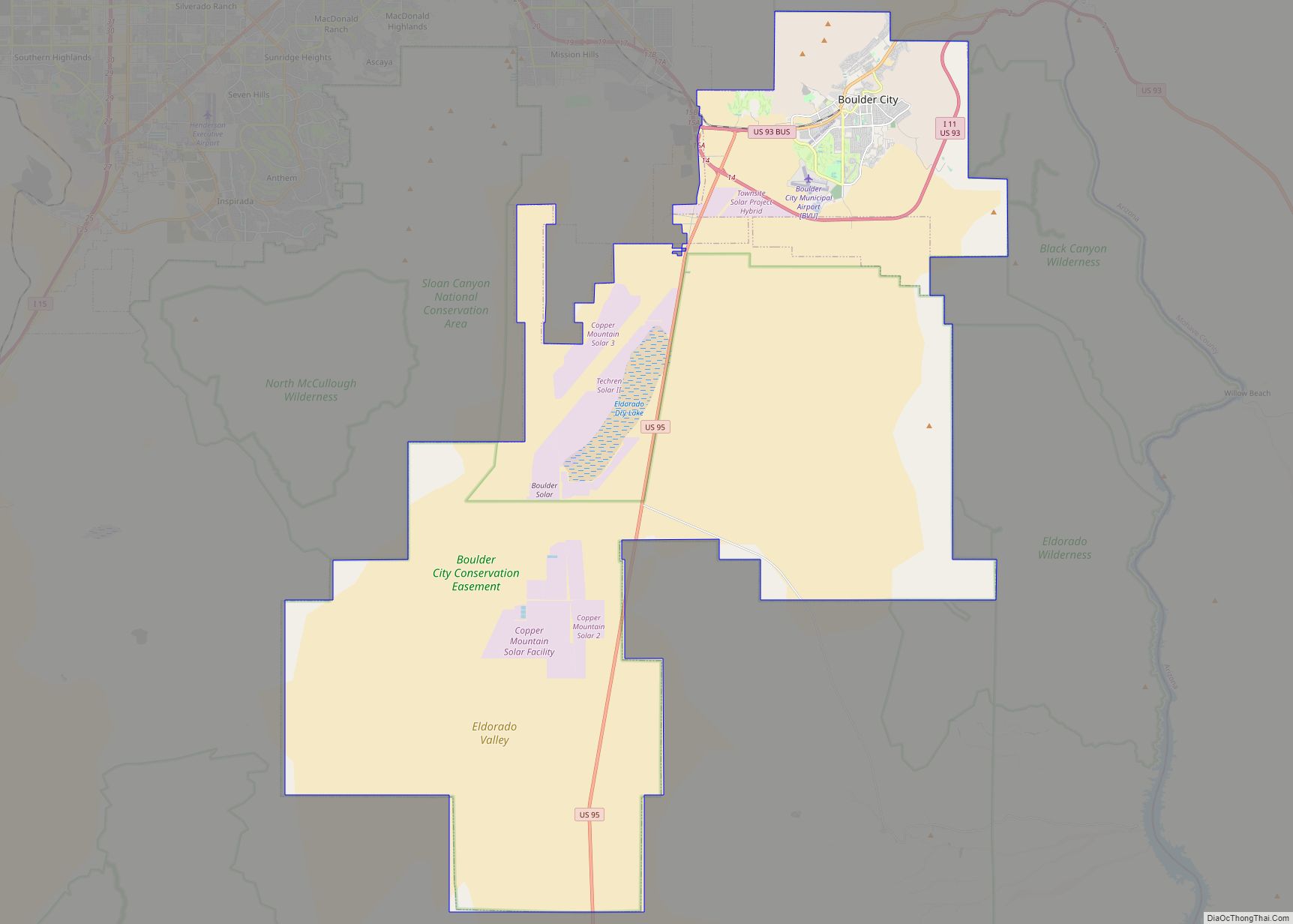
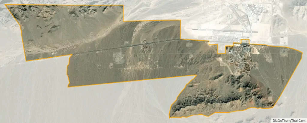
Indian Springs city Satellite Map
See also
Map of Nevada State and its subdivision: Map of other states:- Alabama
- Alaska
- Arizona
- Arkansas
- California
- Colorado
- Connecticut
- Delaware
- District of Columbia
- Florida
- Georgia
- Hawaii
- Idaho
- Illinois
- Indiana
- Iowa
- Kansas
- Kentucky
- Louisiana
- Maine
- Maryland
- Massachusetts
- Michigan
- Minnesota
- Mississippi
- Missouri
- Montana
- Nebraska
- Nevada
- New Hampshire
- New Jersey
- New Mexico
- New York
- North Carolina
- North Dakota
- Ohio
- Oklahoma
- Oregon
- Pennsylvania
- Rhode Island
- South Carolina
- South Dakota
- Tennessee
- Texas
- Utah
- Vermont
- Virginia
- Washington
- West Virginia
- Wisconsin
- Wyoming