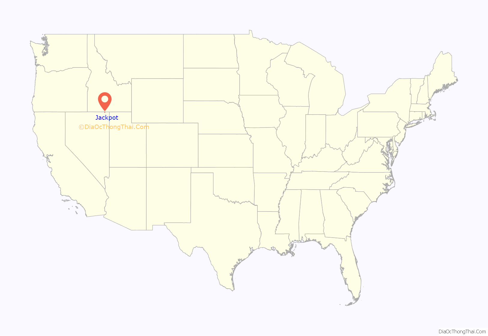
Jackpot is an unincorporated community and census-designated place (CDP) in Elko County, Nevada, United States. The population was 855 as of the 2020 census. Located less than one mile (1.6 km) from the Idaho border on US 93, Jackpot has been a popular casino gaming destination for residents of Idaho and other neighboring states since its founding.
Jackpot is located 47 miles (76 km) south of Twin Falls, Idaho, a city of approximately 50,000. Although officially part of the Elko micropolitan area, Jackpot is often considered part of the Greater Twin Falls region.
In addition to its casino industry, Jackpot has its own schools, golf course, and post office. Its elevation is approximately 5,200 feet (1,580 m) above sea level.
Jackpot, along with the rest of Nevada except for the city of West Wendover, is legally in the Pacific Time Zone, but, along with other Idaho border towns such as Jarbidge, Mountain City and Owyhee, unofficially observes Mountain Time, due to its economic ties with the Magic Valley region of southern Idaho. The Nevada Department of Transportation and Federal Aviation Administration recognize this local unofficial observance.
| Name: | Jackpot CDP |
|---|---|
| LSAD Code: | 57 |
| LSAD Description: | CDP (suffix) |
| State: | Nevada |
| County: | Elko County |
| Founded: | 1954; 69 years ago (1954) |
| Elevation: | 5,213 ft (1,589 m) |
| Total Area: | 3.94 sq mi (10.20 km²) |
| Land Area: | 3.90 sq mi (10.09 km²) |
| Water Area: | 0.04 sq mi (0.11 km²) |
| Total Population: | 855 |
| Population Density: | 219.51/sq mi (84.76/km²) |
| ZIP code: | 89825 |
| Area code: | 775 |
| FIPS code: | 3236500 |
| GNISfeature ID: | 858035 |
Online Interactive Map
Click on ![]() to view map in "full screen" mode.
to view map in "full screen" mode.
Jackpot location map. Where is Jackpot CDP?
History
After Idaho outlawed all forms of casino gaming in 1954, “Cactus Pete” Piersanti and Don French moved their slot machine operations from Idaho to the Jackpot townsite. Piersanti’s and French’s gaming establishments were named Cactus Pete’s and the Horseshu Club, respectively. Piersanti in particular is credited for founding Jackpot.
In May 1958, the settlement was first recognized by the Elko County commissioners as an unincorporated town named “Horse Shu”, with a population of 65, despite a protest over the name by Cactus Pete’s. Because the club owners could not agree on a name, the county commissioners renamed it a month later as “Unincorporated Town No. 1”. The clubs compromised on the name “Jackpot” in 1959. Jackpot has been noted for its colorful place name which has been said to be the most unusual in the state of Nevada.
By 1960, the population had reached 400, but most residents were living in trailers because banks would not approve building loans, being unsure of the town’s long-term prospects.
Cactus Pete’s management took over the Horseshu in 1964 to form what would eventually become Ameristar Casinos. Cactus Pete’s and Horseshu, as well as the independent Barton’s Club 93 and the Four Jacks Casino, form the basis of the town’s economy to this day.
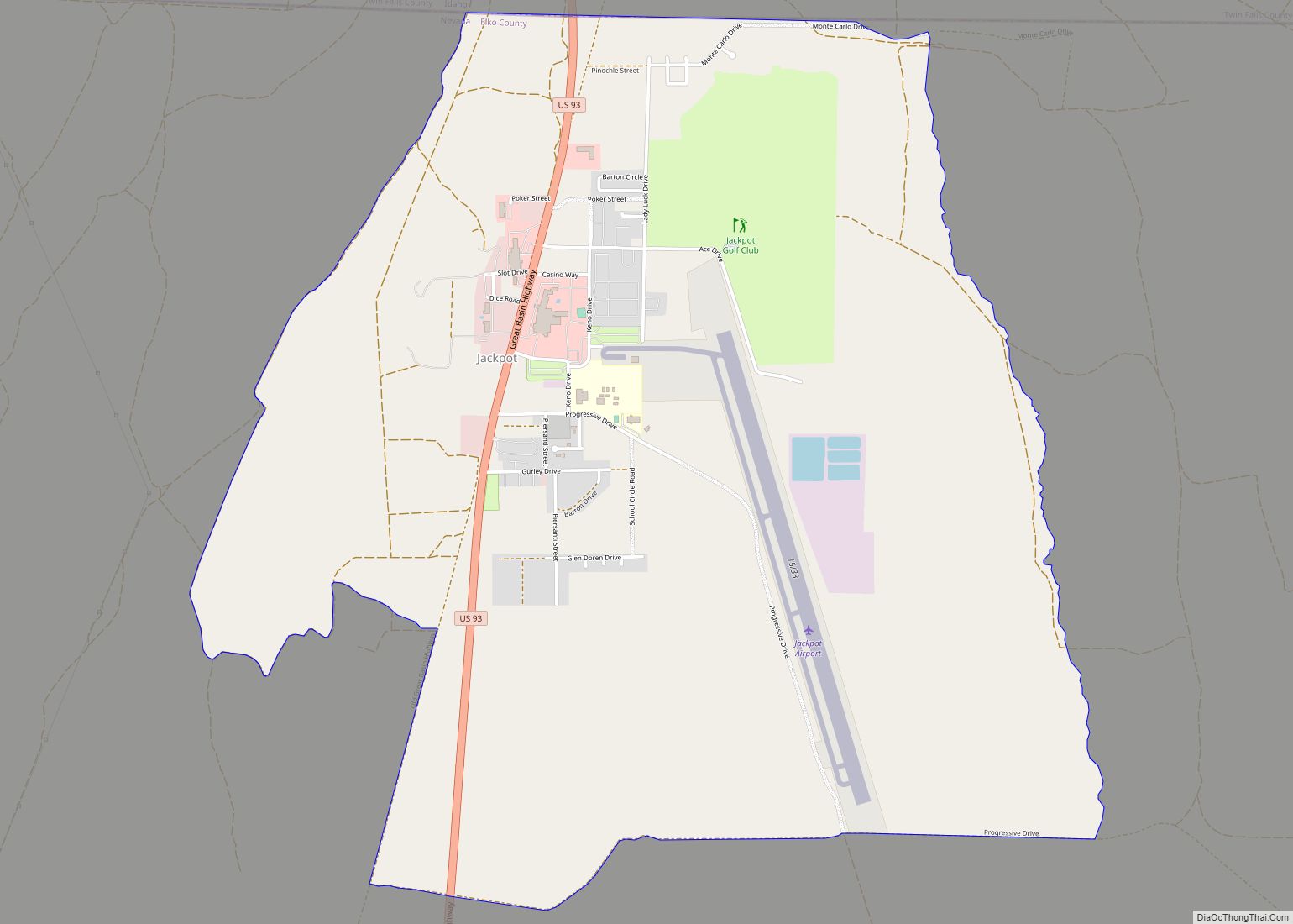
Jackpot Road Map
Jackpot city Satellite Map
Geography
Jackpot is located near Salmon Falls Creek and north of Middle Stack Mountain in the Granite Range of northeast Nevada. Jackpot is located about fifty miles (80 km) east (but eighty miles (130 km) by road) of the unincorporated town of Jarbidge and the Jarbidge Wilderness.
See also
Map of Nevada State and its subdivision: Map of other states:- Alabama
- Alaska
- Arizona
- Arkansas
- California
- Colorado
- Connecticut
- Delaware
- District of Columbia
- Florida
- Georgia
- Hawaii
- Idaho
- Illinois
- Indiana
- Iowa
- Kansas
- Kentucky
- Louisiana
- Maine
- Maryland
- Massachusetts
- Michigan
- Minnesota
- Mississippi
- Missouri
- Montana
- Nebraska
- Nevada
- New Hampshire
- New Jersey
- New Mexico
- New York
- North Carolina
- North Dakota
- Ohio
- Oklahoma
- Oregon
- Pennsylvania
- Rhode Island
- South Carolina
- South Dakota
- Tennessee
- Texas
- Utah
- Vermont
- Virginia
- Washington
- West Virginia
- Wisconsin
- Wyoming
