West Wendover is a small city in Elko County, Nevada, United States. The population was 4,410 at the 2010 census. It is part of the Elko micropolitan area. West Wendover is located on the eastern border of Nevada and the western edge of the Great Salt Lake Desert and is contiguous with Wendover, Utah, with which it is sometimes confused. It is home to five casinos and a cannabis dispensary which attract many visitors from neighboring Utah, where both casino gambling and non-medical cannabis are illegal. Interstate 80 runs just north of the cities, while Interstate 80 Business (Wendover Boulevard) runs through the two cities.
| Name: | West Wendover city |
|---|---|
| LSAD Code: | 25 |
| LSAD Description: | city (suffix) |
| State: | Nevada |
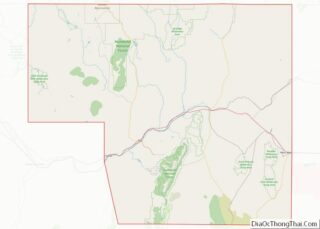
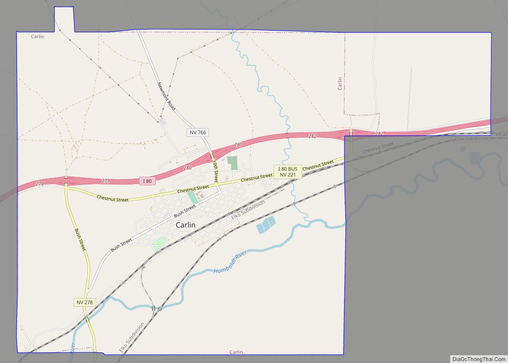
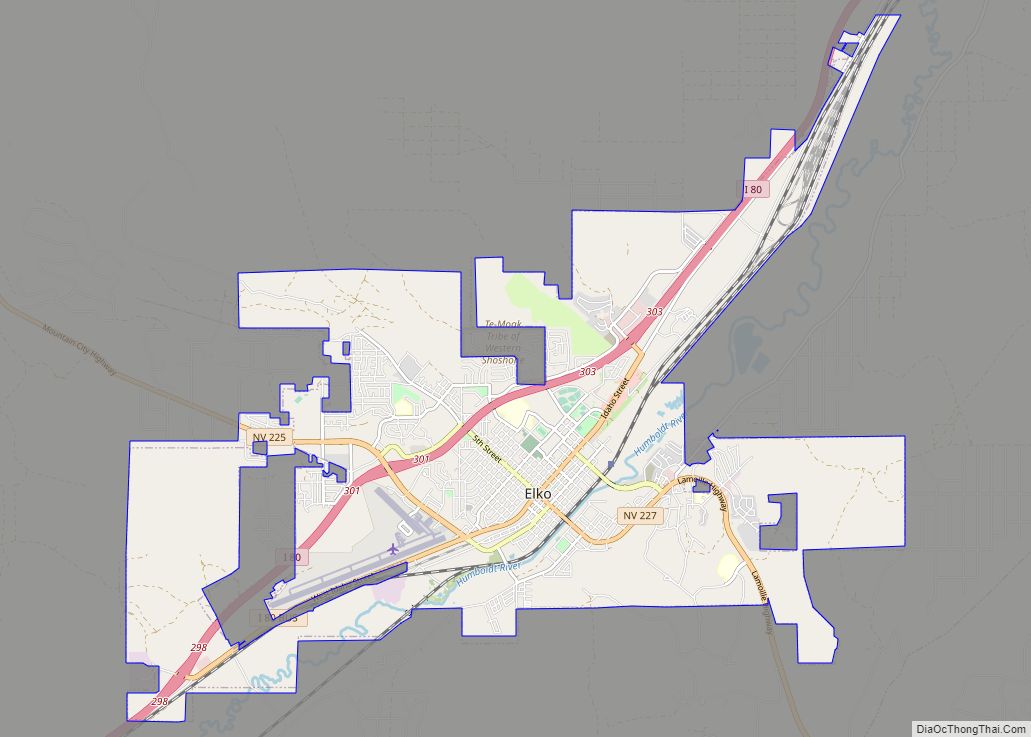
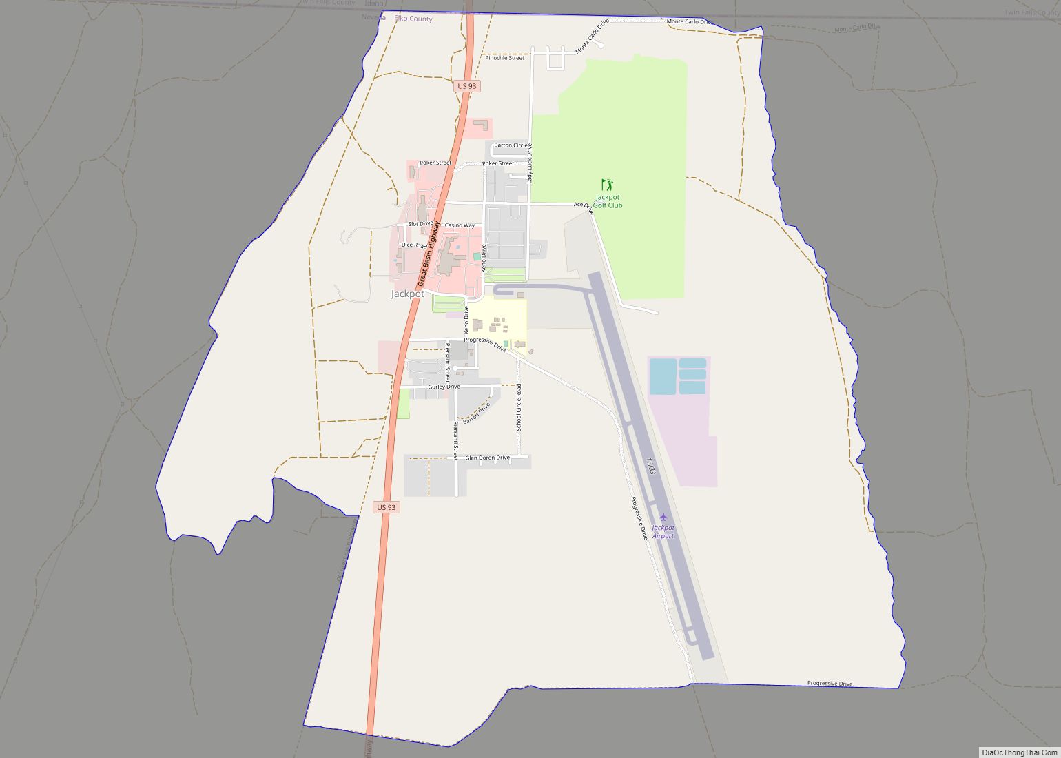
| County: | Elko County |
| Elevation: | 4,462 ft (1,360 m) |
| Total Area: | 7.48 sq mi (19.37 km²) |
| Land Area: | 7.48 sq mi (19.37 km²) |
| Water Area: | 0.00 sq mi (0.00 km²) |
| Total Population: | 4,512 |
| Population Density: | 603.37/sq mi (232.97/km²) |
| ZIP code: | 89883 |
| Area code: | 775 |
| FIPS code: | 3283730 |
| GNISfeature ID: | 1669583 |
Online Interactive Map
Click on ![]() to view map in "full screen" mode.
to view map in "full screen" mode.
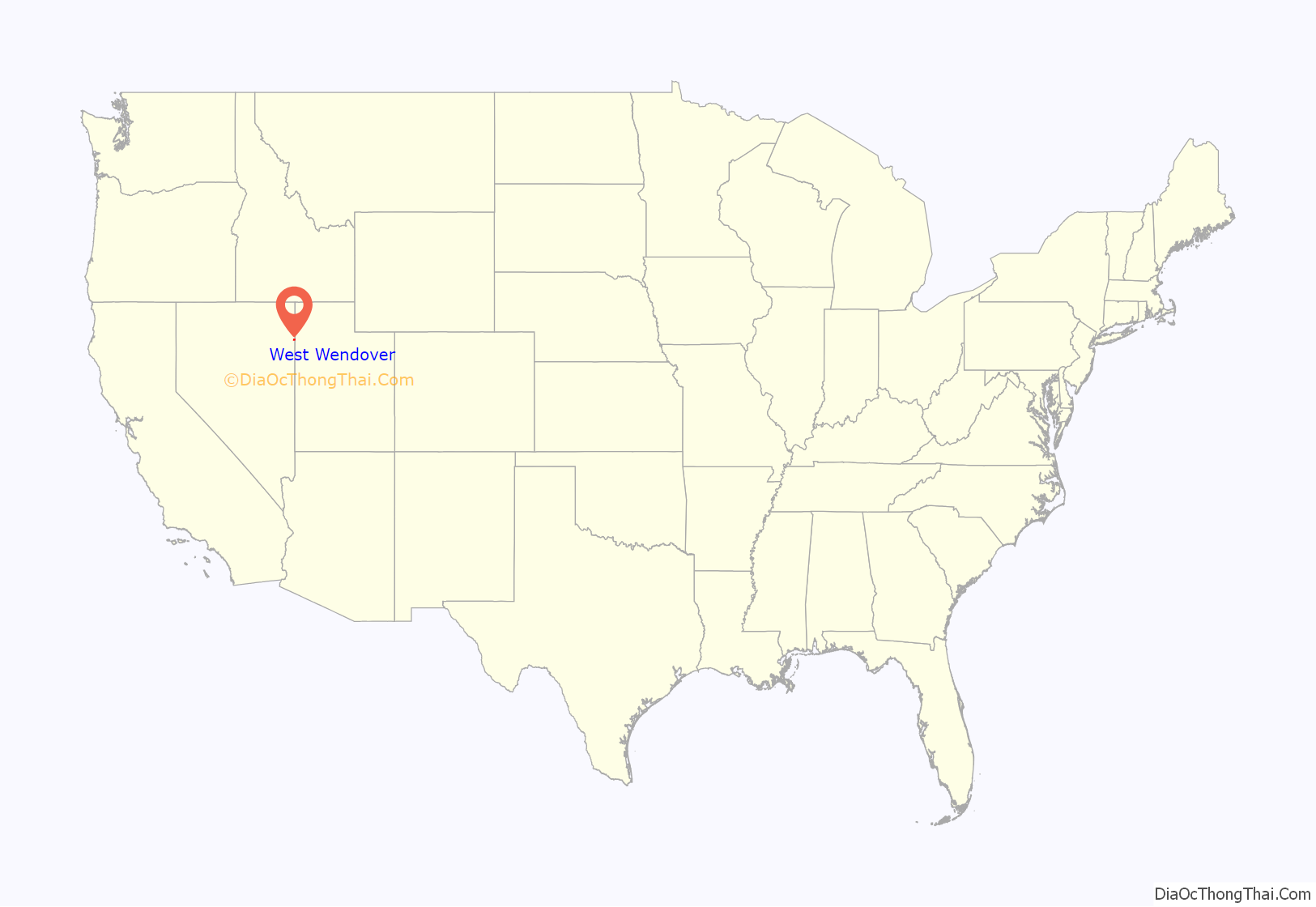
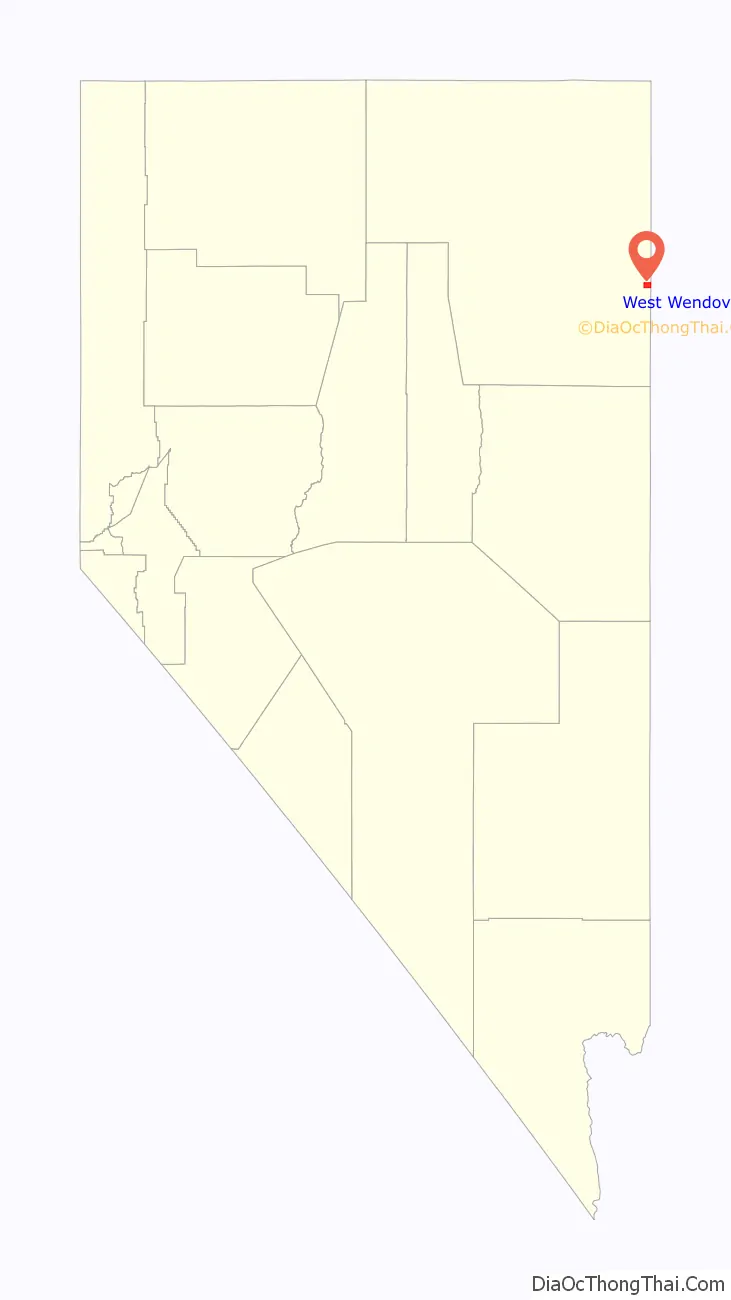
West Wendover location map. Where is West Wendover city?
History
West Wendover began to develop in the 1930s and 1940s with the introduction of legalized gambling in the state of Nevada. William “Bill” Smith founded a small cobblestone service station that provided a needed rest to weary travelers crossing the desert terrain of western Utah and eastern Nevada. Today this facility is known as the Wendover Nugget. It held the record as the oldest continually operated gaming license for a casino in the State of Nevada for over 66 years, until December 2001, when the former State Line Casino and Hotel came under new ownership.
Through the 1970s and 1980s, West Wendover began to emerge as a destination resort. Additional business arrived constructing more casinos, hotels and other service establishments, as well as recreational venues, such as the Toana Vista Golf Course. As growth continued to spiral up, the citizens of West Wendover, Nevada, then a township of Elko County, elected to incorporate under self-rule. On July 1, 1991, the city of West Wendover, Nevada, came into existence. Amber S Holt named the city seal of West Wendover encouraging people to “Come Grow With Us.”
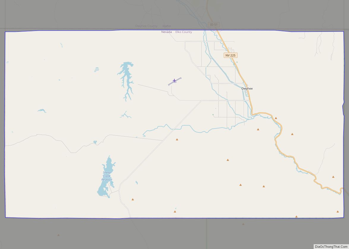
In October 1999, the U.S. Department of Transportation moved West Wendover out of the Pacific Time Zone due to the strong economic ties between West Wendover and neighboring Utah. This made the city of West Wendover the only portion of Nevada legally in the Mountain Time Zone. The communities of Jackpot, Jarbidge, Mountain City, and Owyhee in northern Elko County also observe Mountain Time, but only on an unofficial basis.
West Wendover has thrived under a lucrative gambling industry in Nevada, which has generated tax revenue for city services and better schools.
Residents in both cities have voted to annex Wendover into Nevada, saying they are one community that has been divided for too long. Some politicians in both the State of Utah and the State of Nevada have endorsed the idea, but the U.S. House of Representatives resolution permitting Wendover to leave Utah and join Nevada was stalled in the U.S. Senate in 2002 and did not become law. However, the politicians in Wendover, Utah, placed a permanent halt to the annexation process through a vote on November 15, 2006. The motion made was to halt the annexation process. The vote was a tie, with two Council Members voting to halt the process and two Council Members supporting the continuation of the process. The tie vote was broken up by a vote of Wendover, Utah, Mayor Brett Shelton who voted to discontinue the annexation process. Previously, West Wendover had decided to halt any further work after Wendover, Utah, indicated they were going to discuss and make a decision as to whether or not they would proceed. Article IV, Section 3 of the U.S. Constitution requires that any change in state boundaries be approved by the U.S. Congress as well as by the two state legislatures.
In December 2019, West Wendover’s first recreational cannabis dispensary opened. Because cannabis is illegal in bordering Utah, the dispensary mainly serves Utah residents visiting the town.
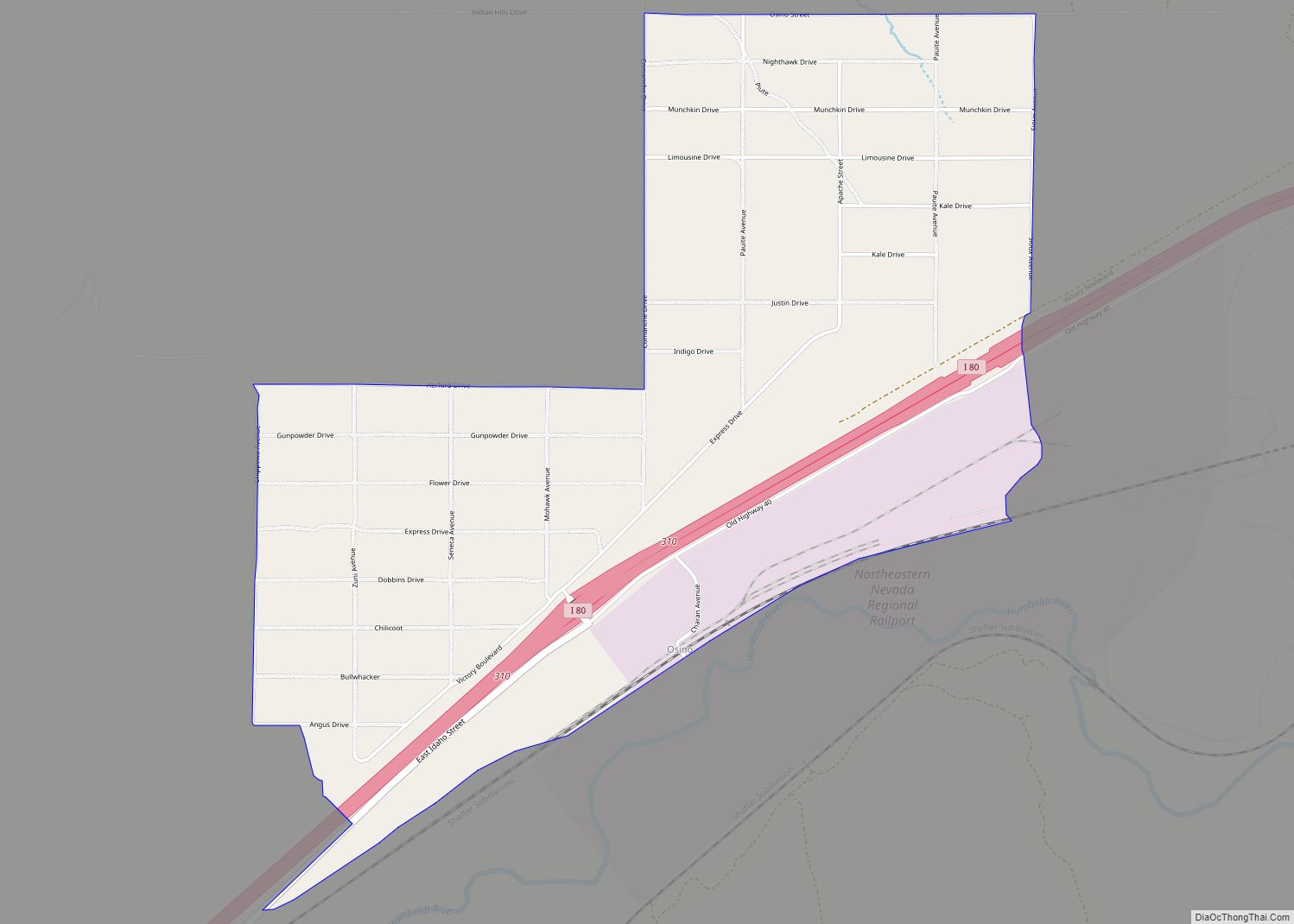
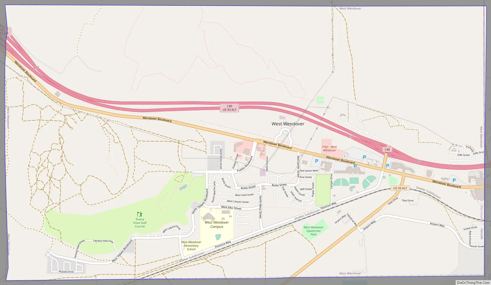
West Wendover Road Map
West Wendover city Satellite Map
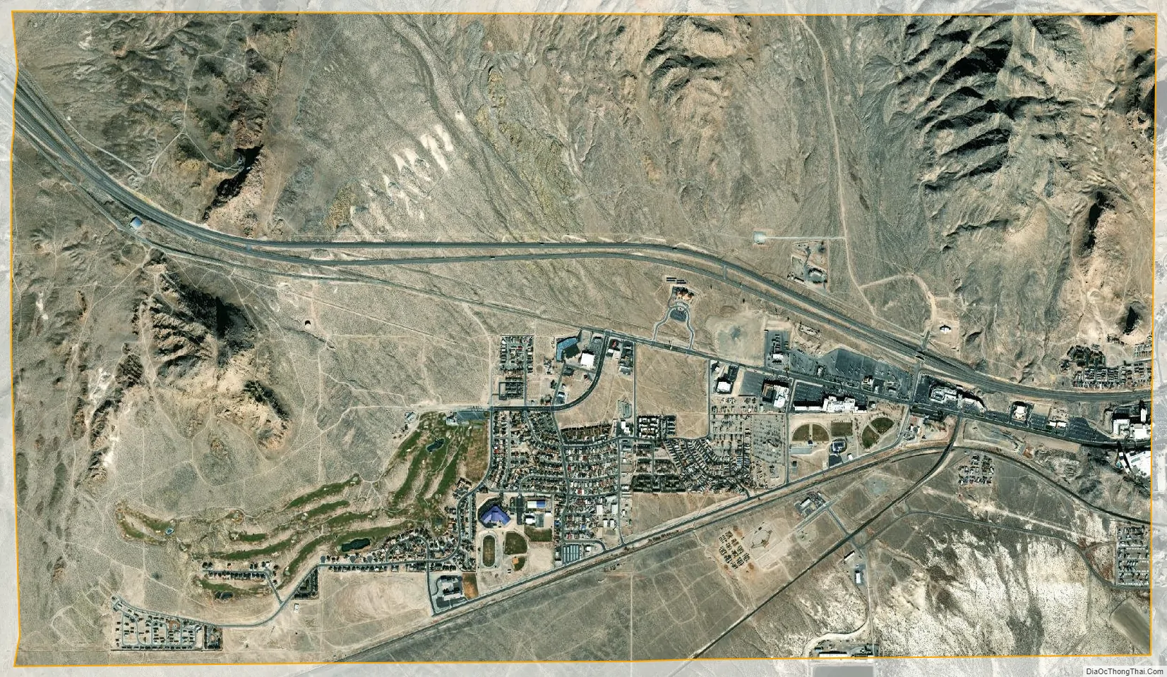
Geography
West Wendover is located at 40°44′22″N 114°4′11″W / 40.73944°N 114.06972°W / 40.73944; -114.06972 (40.739512, -114.069796).
According to the United States Census Bureau, the city has a total area of 7.5 sq mi (19 km), all land.
Climate
Wendover and West Wendover have a cool arid climate (Köppen BWk) with hot summers, freezing winters, and substantial diurnal temperature ranges. The cities’ location east of the Ruby Mountains makes them the driest in the Great Basin, averaging only 4.58 inches or 116 millimetres of precipitation per year, or about half that of nearby Ely or Elko. It affects snowfall even more dramatically: Wendover and West Wendover average only 5.5 inches or 0.14 metres of snow, one-eighth to one-tenth the snowfall of the two nearby county seats.
See also
Map of Nevada State and its subdivision: Map of other states:- Alabama
- Alaska
- Arizona
- Arkansas
- California
- Colorado
- Connecticut
- Delaware
- District of Columbia
- Florida
- Georgia
- Hawaii
- Idaho
- Illinois
- Indiana
- Iowa
- Kansas
- Kentucky
- Louisiana
- Maine
- Maryland
- Massachusetts
- Michigan
- Minnesota
- Mississippi
- Missouri
- Montana
- Nebraska
- Nevada
- New Hampshire
- New Jersey
- New Mexico
- New York
- North Carolina
- North Dakota
- Ohio
- Oklahoma
- Oregon
- Pennsylvania
- Rhode Island
- South Carolina
- South Dakota
- Tennessee
- Texas
- Utah
- Vermont
- Virginia
- Washington
- West Virginia
- Wisconsin
- Wyoming