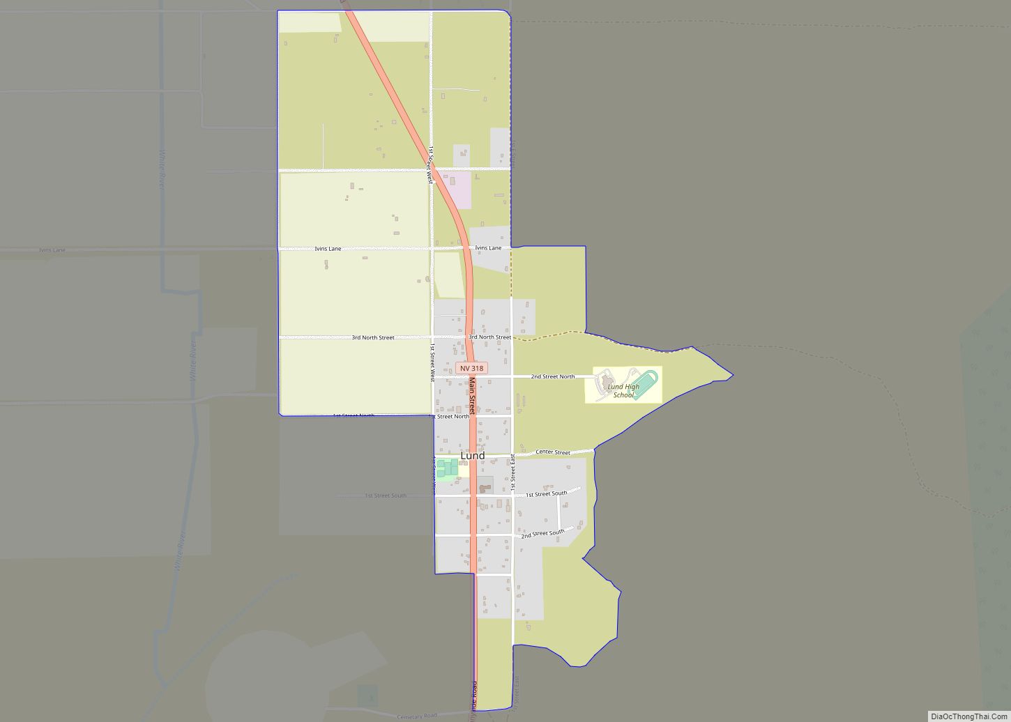
Lund is a small town and census-designated place in White Pine County, Nevada, United States. The population of Lund as of 2020 was 211.
| Name: | Lund CDP |
|---|---|
| LSAD Code: | 57 |
| LSAD Description: | CDP (suffix) |
| State: | Nevada |
| County: | White Pine County |
| Elevation: | 5,580 ft (1,700 m) |
| Total Area: | 1.97 sq mi (5.10 km²) |
| Land Area: | 1.97 sq mi (5.10 km²) |
| Water Area: | 0.00 sq mi (0.00 km²) |
| Total Population: | 211 |
| Population Density: | 107.22/sq mi (41.39/km²) |
| ZIP code: | 89317 |
| Area code: | 775 |
| FIPS code: | 3243400 |
| GNISfeature ID: | 0845548 |
Online Interactive Map
Click on ![]() to view map in "full screen" mode.
to view map in "full screen" mode.
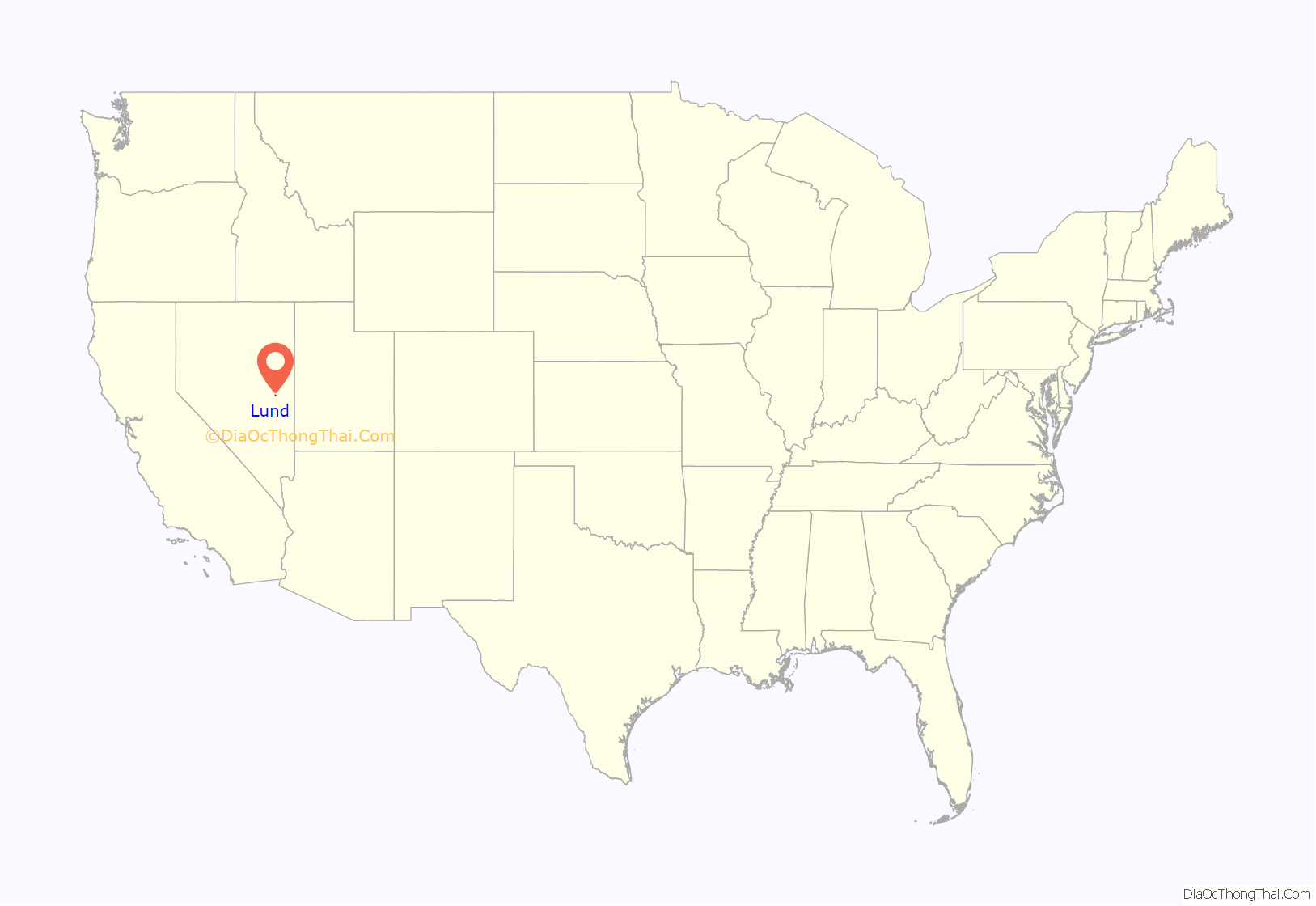
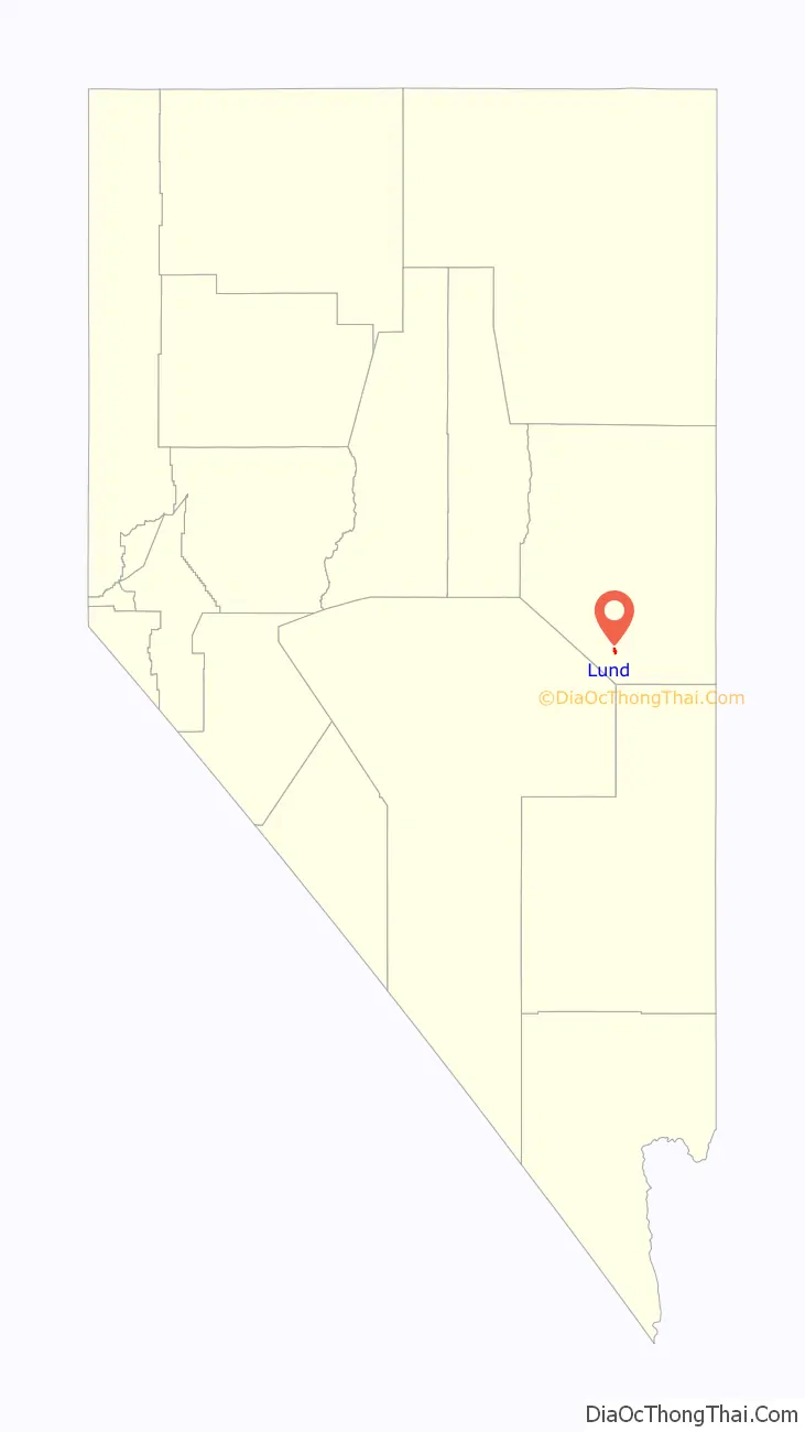
Lund location map. Where is Lund CDP?
History
Lund was settled in 1898 on land that the United States government had given the Church of Jesus Christ of Latter-day Saints (Mormons) in lieu of land that had been confiscated under the Edmunds–Tucker Act. The first settlers were members of the Church of Jesus Christ of Latter-day Saints, and the Church still has a ward in Lund.
On June 24, 2020, the Brown Fire threatened Lund, resulting in residents on the south side being evacuated from their homes. Residents were allowed to return that evening. The Brown Fire burned over 8,000 acres (3,237 ha).
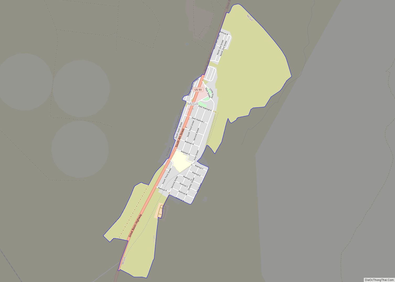
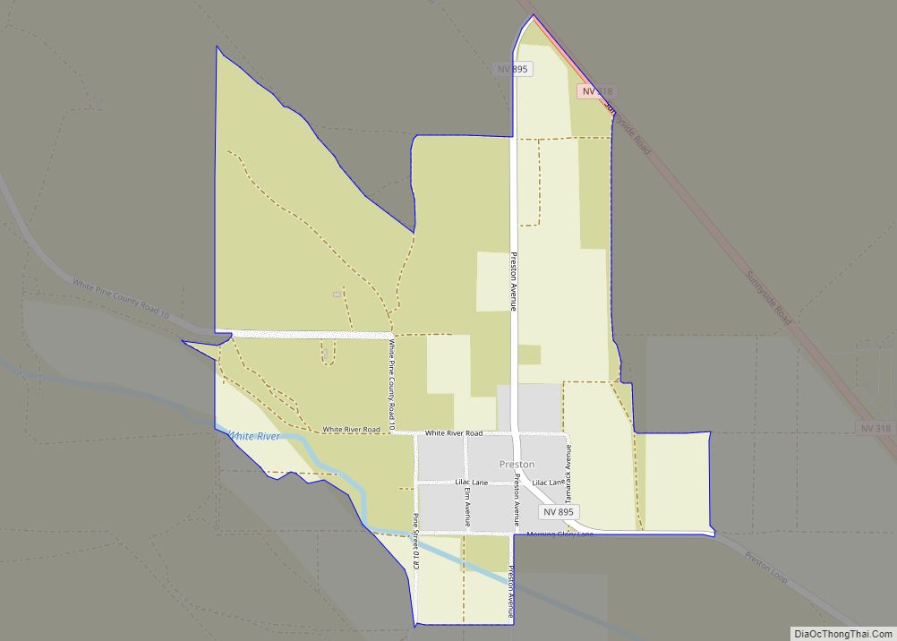
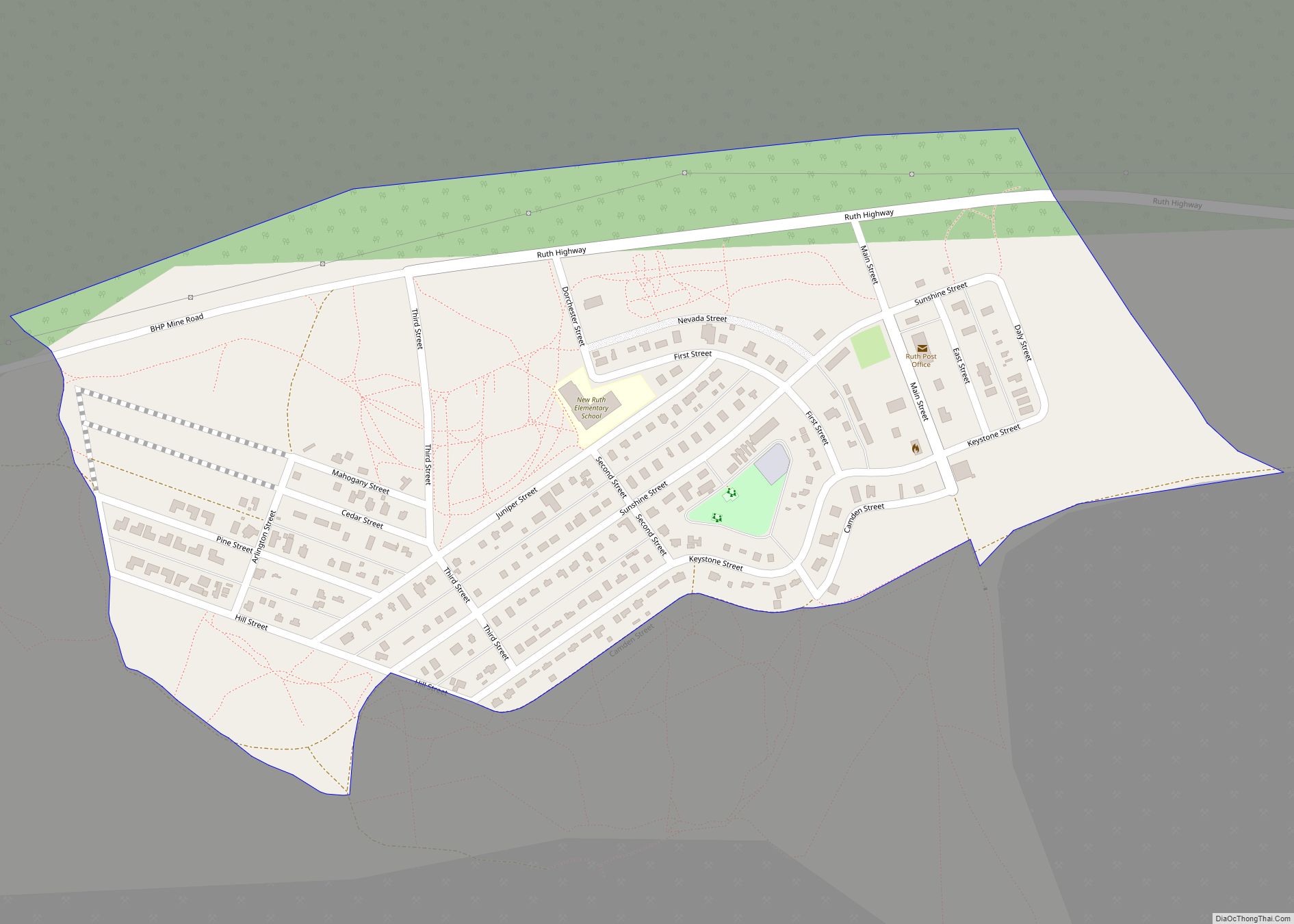
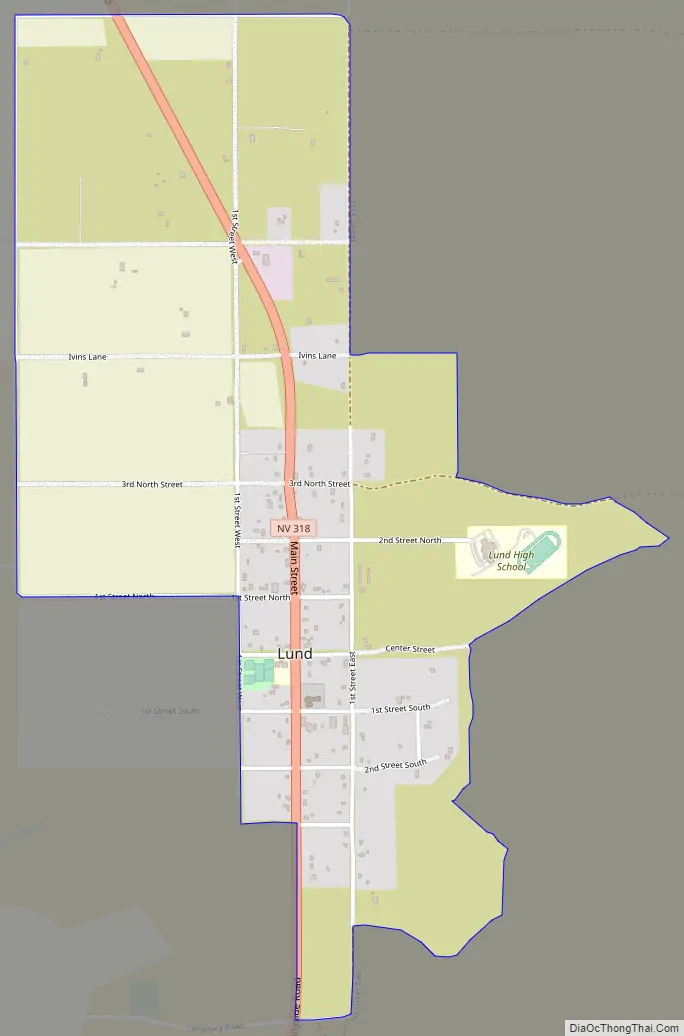
Lund Road Map
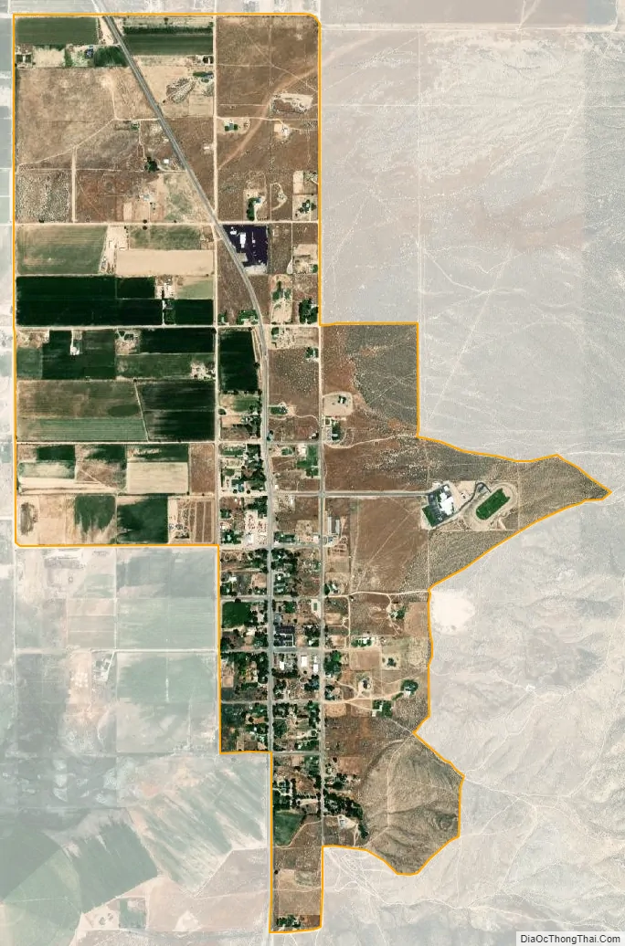
Lund city Satellite Map
See also
Map of Nevada State and its subdivision: Map of other states:- Alabama
- Alaska
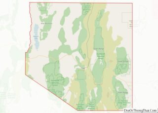
- Arizona
- Arkansas
- California
- Colorado
- Connecticut
- Delaware
- District of Columbia
- Florida
- Georgia
- Hawaii
- Idaho
- Illinois
- Indiana
- Iowa
- Kansas
- Kentucky
- Louisiana
- Maine
- Maryland
- Massachusetts
- Michigan
- Minnesota
- Mississippi
- Missouri
- Montana
- Nebraska
- Nevada
- New Hampshire
- New Jersey
- New Mexico
- New York
- North Carolina
- North Dakota
- Ohio
- Oklahoma
- Oregon
- Pennsylvania
- Rhode Island
- South Carolina
- South Dakota
- Tennessee
- Texas
- Utah
- Vermont
- Virginia
- Washington
- West Virginia
- Wisconsin
- Wyoming