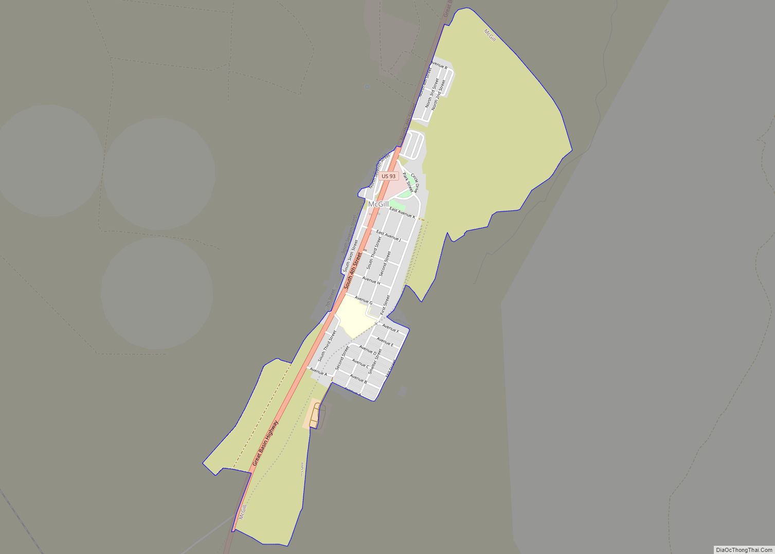
McGill is a census-designated place (CDP) in White Pine County, Nevada, United States. The population was 1,148 at the 2010 census.
| Name: | McGill CDP |
|---|---|
| LSAD Code: | 57 |
| LSAD Description: | CDP (suffix) |
| State: | Nevada |
| County: | White Pine County |
| Elevation: | 6,204 ft (1,891 m) |
| Total Area: | 1.21 sq mi (3.13 km²) |
| Land Area: | 1.21 sq mi (3.13 km²) |
| Water Area: | 0.00 sq mi (0.00 km²) |
| Total Population: | 1,010 |
| Population Density: | 834.71/sq mi (322.30/km²) |
| ZIP code: | 89318 |
| Area code: | 775 |
| FIPS code: | 3244200 |
| GNISfeature ID: | 0845558 |
Online Interactive Map
Click on ![]() to view map in "full screen" mode.
to view map in "full screen" mode.
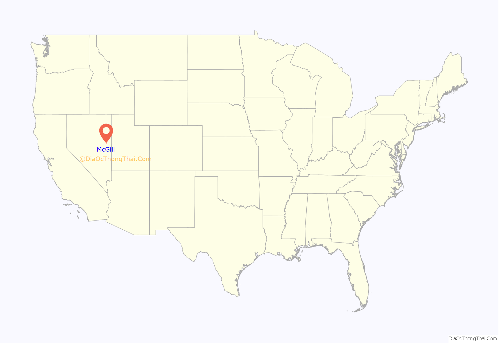
McGill location map. Where is McGill CDP?
History
In 1872, John Cowger established a ranch in the Steptoe Valley and acquired the water rights for the area. William Lyons and William McGill purchased the ranch in 1886. A post office was established at the ranch, now named McGill Ranch, in 1891.
The Nevada Consolidated Copper Company had numerous mines in the region and was seeking a partner to create a smelter in the area. The Cumberland and Ely Mining Corporation had acquired 8 square miles (21 km) of land near the ranch and thought it would be ideal for a smelter location due to access to a plentiful water source. The two companies formed a partnership, the Steptoe Valley Smelting and Mining Company.
In 1906, a 9 miles (14 km) pipeline was built to bring water from Duck Creek to reservoirs near the smelter site and construction began on the smelter. The smelter was completed and operations began on May 15, 1908. The first copper was shipped from the smelter on August 7 of the same year.
The town was briefly known as Smelter, before being renamed McGill, after the ranch. The population of the town grew from its inception to 1,904 in 1910 and 2,864 in 1920.
Kennecott Utah Copper acquired Nevada Consolidated Copper Company, which included Steptoe Valley Smelting and Mining Company and the smelter at McGill in 1932. In 1983, the price of copper along with the low grade ore being mined led to Kennecott closing the smelter and demolishing it. With the primary employer gone, the population of McGill decreased to its current levels.
McGill Road Map
McGill city Satellite Map
Geography
McGill is located at 39°24′4″N 114°46′44″W / 39.40111°N 114.77889°W / 39.40111; -114.77889 (39.401054, -114.778765).
According to the United States Census Bureau, the CDP has a total area of 1.1 square miles (2.8 km), all of it land.
See also
Map of Nevada State and its subdivision: Map of other states:- Alabama
- Alaska
- Arizona
- Arkansas
- California
- Colorado
- Connecticut
- Delaware
- District of Columbia
- Florida
- Georgia
- Hawaii
- Idaho
- Illinois
- Indiana
- Iowa
- Kansas
- Kentucky
- Louisiana
- Maine
- Maryland
- Massachusetts
- Michigan
- Minnesota
- Mississippi
- Missouri
- Montana
- Nebraska
- Nevada
- New Hampshire
- New Jersey
- New Mexico
- New York
- North Carolina
- North Dakota
- Ohio
- Oklahoma
- Oregon
- Pennsylvania
- Rhode Island
- South Carolina
- South Dakota
- Tennessee
- Texas
- Utah
- Vermont
- Virginia
- Washington
- West Virginia
- Wisconsin
- Wyoming
