Moapa is an unincorporated town and census-designated place (CDP) in Clark County, Nevada, United States. The population was 1,025 at the 2010 census. It is the largest town in Clark County by land area. Both the second and the third tallest structures in Nevada, the Moapa Entravision Tower and the Moapa Kemp Tower respectively, are located in Moapa.
| Name: | Moapa Town CDP |
|---|---|
| LSAD Code: | 57 |
| LSAD Description: | CDP (suffix) |
| State: | Nevada |
| County: | Clark County |
| Elevation: | 1,611 ft (491 m) |
| Total Area: | 17.85 sq mi (46.24 km²) |
| Land Area: | 17.85 sq mi (46.24 km²) |
| Water Area: | 0.00 sq mi (0.00 km²) |
| Total Population: | 1,006 |
| Population Density: | 56.35/sq mi (21.76/km²) |
| ZIP code: | 89025 |
| Area code: | 702 and 725 |
| FIPS code: | 3247840 |
| GNISfeature ID: | 1852656 |
Online Interactive Map
Click on ![]() to view map in "full screen" mode.
to view map in "full screen" mode.
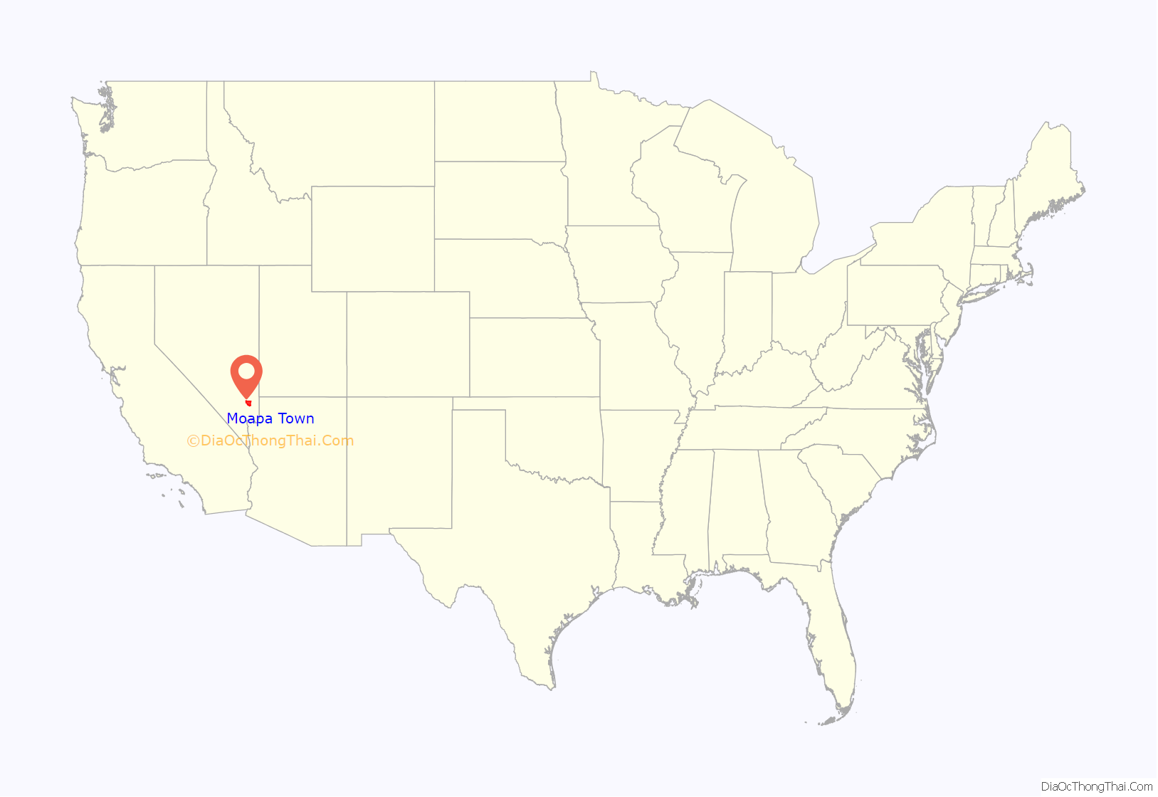
Moapa Town location map. Where is Moapa Town CDP?
History
The first permanent settlement at Moapa was made in 1865.
Two Hal Roach short silent comedies were filmed here: Black Cyclone in 1925 and Flying Elephants with Laurel and Hardy in 1927. Moapa was the site of a wildfire that began on July 1, 2010. The fire covered at least 680 acres (280 ha) and destroyed at least 15 buildings, largely in the Warm Springs Ranch.
The Muddy River begins in the Upper Muddy on Warm Springs Ranch.
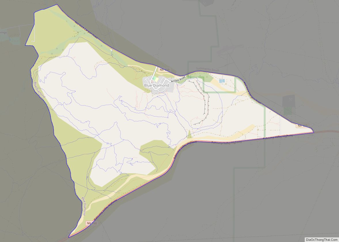
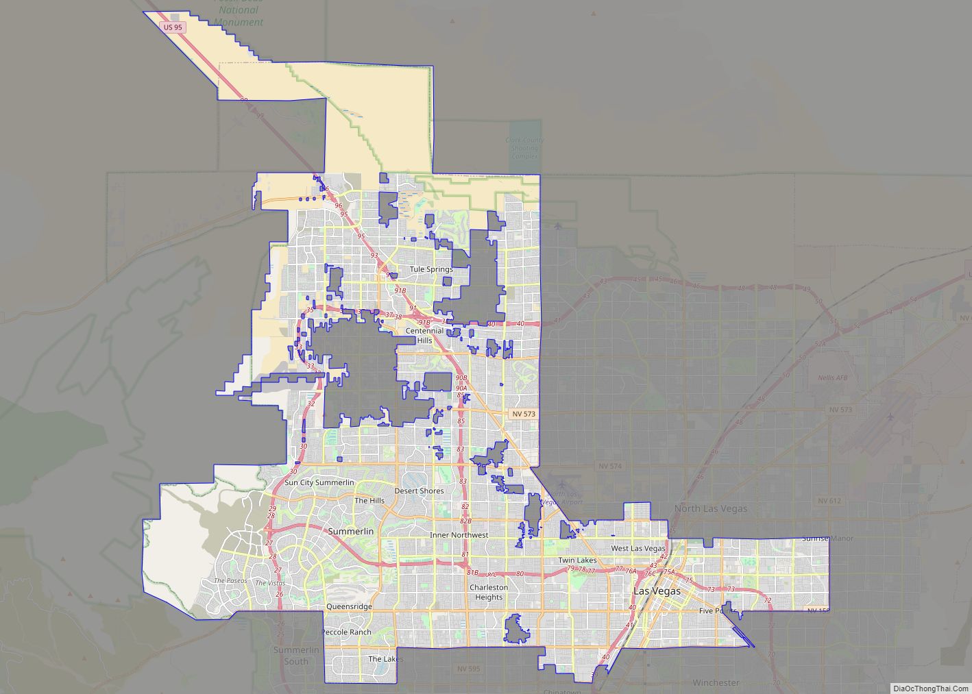
Moapa Town Road Map
Moapa Town city Satellite Map
Geography
According to the United States Census Bureau, the CDP has a total area of 150.8 square miles (390.5 km), all land.
See also
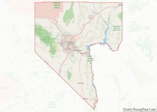
Map of Nevada State and its subdivision: Map of other states:- Alabama
- Alaska
- Arizona
- Arkansas
- California
- Colorado
- Connecticut
- Delaware
- District of Columbia
- Florida
- Georgia
- Hawaii
- Idaho
- Illinois
- Indiana
- Iowa
- Kansas
- Kentucky
- Louisiana
- Maine
- Maryland
- Massachusetts
- Michigan
- Minnesota
- Mississippi
- Missouri
- Montana
- Nebraska
- Nevada
- New Hampshire
- New Jersey
- New Mexico
- New York
- North Carolina
- North Dakota
- Ohio
- Oklahoma
- Oregon
- Pennsylvania
- Rhode Island
- South Carolina
- South Dakota
- Tennessee
- Texas
- Utah
- Vermont
- Virginia
- Washington
- West Virginia
- Wisconsin
- Wyoming
