Moapa Valley is an unincorporated town in Clark County, Nevada, United States. As of the 2010 census, it had a population of 6,924. The valley in which the community lies, also named Moapa Valley, is about 40 miles (64 km) long and lies roughly northwest to southeast.
| Name: | Moapa Valley CDP |
|---|---|
| LSAD Code: | 57 |
| LSAD Description: | CDP (suffix) |
| State: | Nevada |
| County: | Clark County |
| Elevation: | 1,335 ft (407 m) |
| Total Area: | 43.68 sq mi (113.13 km²) |
| Land Area: | 43.66 sq mi (113.07 km²) |
| Water Area: | 0.02 sq mi (0.06 km²) |
| Total Population: | 6,289 |
| Population Density: | 144.06/sq mi (55.62/km²) |
| Area code: | 702 and 725 |
| FIPS code: | 3247880 |
| GNISfeature ID: | 1867349 |
Online Interactive Map
Click on ![]() to view map in "full screen" mode.
to view map in "full screen" mode.
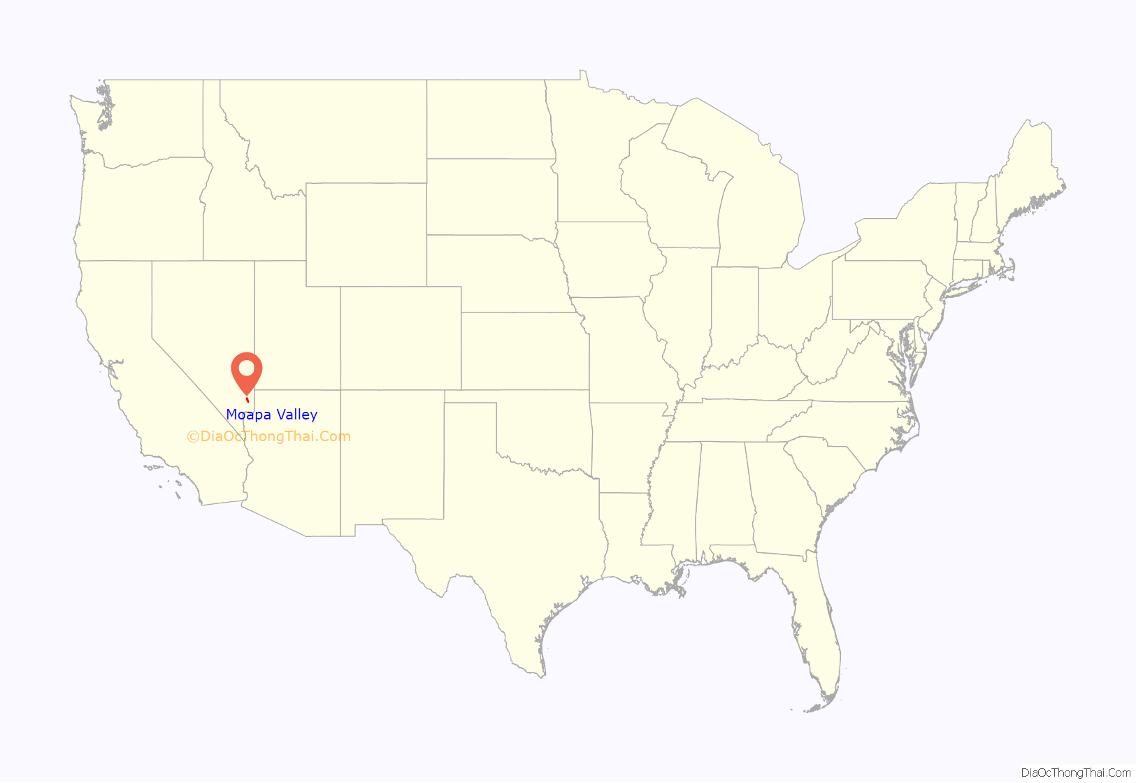
Moapa Valley location map. Where is Moapa Valley CDP?
History
Native American
The Moapa Valley was originally settled around 350 B.C. by the Ancestral Puebloan people (who used to be called Anasazi by early archeologists). Around 500 A.D., farming supplanted hunting as the major food source for the people known as “Basketmakers”. It was also around this time that the art of pottery was introduced. By 600 A.D., Ancestral Puebloan people began building their dwellings above ground, using wood and brush plastered with adobe. Farming was a well-established practice with corn, beans, squash, and cotton being the primary crops. The Puebloans also hunted mule deer, desert bighorn sheep, rabbits, and rodents using bows and arrows.
Around 1000 A.D. Southern Paiutes moved into the Moapa Valley area. The Paiutes were hunter-gatherers who did not utilize agriculture as a primary source of subsistence. They lived in temporary brush dwellings, spoke the Southern Paiute language, and practiced a style of pottery that was less sophisticated than the methods used by the Anasazi. The Paiutes and Anasazi people coexisted with little effort in the valley.
Sometime around 1150 A.D., the Anasazi abandoned Moapa Valley, possibly due to a drought which gripped the Desert Southwest during that time. When the first European (Mormon) settlers arrived, the Paiutes self relocated (banded together) to a reservation north of Moapa Town, where they continue to live today.
Settlers
The first Euroamerican settlers in the Moapa Valley were Mormon pioneers in the latter 1860s. The area has remained heavily populated by Mormons to the present time. Many streets bear the names of prominent Mormon families, including Barlow, Hinckley, Leavitt, Lyman, Perkins [1], Whitmore, Wells, and Andersen. The LDS Logandale Stake has thirteen wards. The Huntsmans, a well known pioneer family of Moapa Valley, established the Huntsman Ranch, which the cabin still remains today near Kane Springs. It is a State of Nevada designated historical site.
Modern times
In 1980, residents of Overton and Logandale approved a referendum on merging the two towns into the town of Moapa Valley. The Clark County Commission affirmed the vote, legally creating Moapa Valley on February 13, 1981. The town had a population of about 1,400 people at the time.
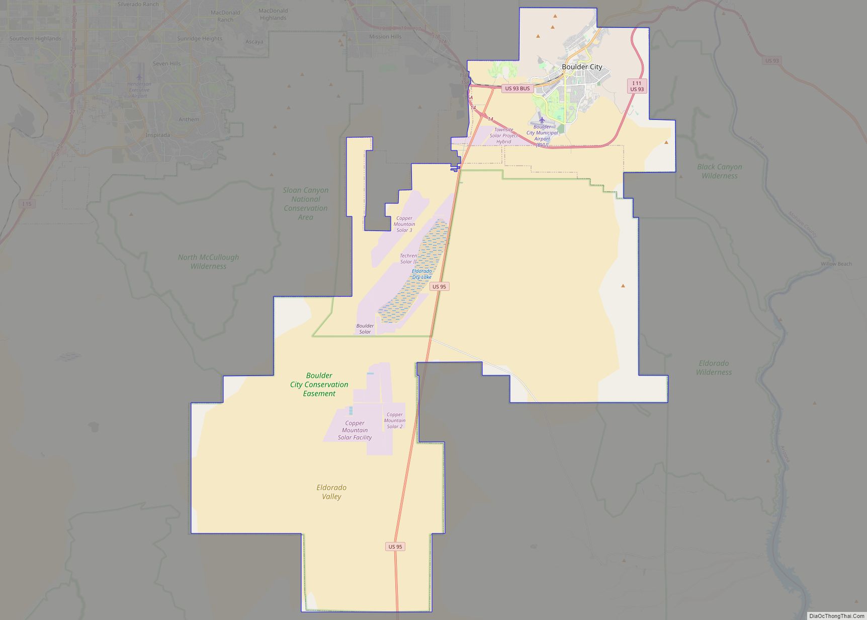
Moapa Valley Road Map
Moapa Valley city Satellite Map
Geography
The Muddy River, formerly called the Moapa River, originates from the Warm Springs Natural Area and flows through the valley before emptying into Lake Mead. The communities of Moapa Town, Logandale and Overton are located in the valley. Logandale is about 12 miles (19 km) southeast of Moapa Town, and Overton is about 5 miles (8.0 km) southeast of Logandale. Prior to the creation of Lake Mead, Moapa Valley also included the town of St. Thomas, which was abandoned in 1938 due to the rising lake level.
Moapa Valley is at an elevation of 1,265 ft (386 m) above sea level. The United States Census Bureau gives the census-designated place (CDP) of Moapa Valley (which may not coincide exactly with the town boundaries) a total area of 43.7 square miles (113.2 km), of which 43.7 square miles (113.1 km) is land and 0.04 square miles (0.1 km), or 0.05%, is water.
See also
Map of Nevada State and its subdivision: Map of other states:- Alabama
- Alaska
- Arizona
- Arkansas
- California
- Colorado
- Connecticut
- Delaware
- District of Columbia
- Florida
- Georgia
- Hawaii
- Idaho
- Illinois
- Indiana
- Iowa
- Kansas
- Kentucky
- Louisiana
- Maine
- Maryland
- Massachusetts
- Michigan
- Minnesota
- Mississippi
- Missouri
- Montana
- Nebraska
- Nevada
- New Hampshire
- New Jersey
- New Mexico
- New York
- North Carolina
- North Dakota
- Ohio
- Oklahoma
- Oregon
- Pennsylvania
- Rhode Island
- South Carolina
- South Dakota
- Tennessee
- Texas
- Utah
- Vermont
- Virginia
- Washington
- West Virginia
- Wisconsin
- Wyoming
