Mount Charleston is an unincorporated town and census-designated place in Clark County, Nevada, United States. The population was 357 at the 2010 census.
The town of Mount Charleston is named for nearby Mount Charleston whose Charleston Peak at 11,916 feet (3,632 m) is the highest point in Clark County. The town of Mount Charleston is in a valley of the Spring Mountains to the northwest of Las Vegas, noted for its hiking trails. It is also known for its Retreat on Charleston Peak, a 64-room hotel. At an elevation of approximately 7,500 feet, temperatures are much lower than in Las Vegas, which has an elevation of about 2,000 feet, making it a popular place for Las Vegans to vacation. The mean high temperature is 20.4 degrees (Fahrenheit) cooler than in Las Vegas. The area is also known as a vacation village for wealthy Las Vegas residents.
| Name: | Mount Charleston CDP |
|---|---|
| LSAD Code: | 57 |
| LSAD Description: | CDP (suffix) |
| State: | Nevada |
| County: | Clark County |
| Elevation: | 7,510 ft (2,289 m) |
| Total Area: | 29.32 sq mi (75.93 km²) |
| Land Area: | 29.32 sq mi (75.93 km²) |
| Water Area: | 0.00 sq mi (0.00 km²) |
| Total Population: | 314 |
| Population Density: | 10.71/sq mi (4.14/km²) |
| ZIP code: | 89124 |
| Area code: | 702 and 725 |
| FIPS code: | 3249310 |
| GNISfeature ID: | 0859202 |
Online Interactive Map
Click on ![]() to view map in "full screen" mode.
to view map in "full screen" mode.
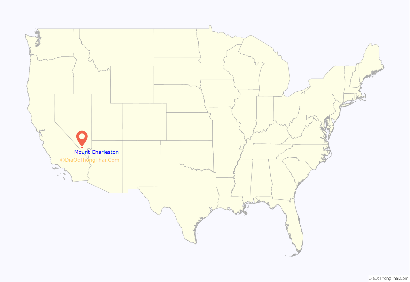
Mount Charleston location map. Where is Mount Charleston CDP?
History
Charleston Park
According to historian Stanley W. Paher, Conrad Keil (a.k.a. Kyle) built a sawmill and cabin in Kyle Canyon circa 1870–1880. It is shown on a 1881 plat map as being across from Fletcher Canyon, where the historic US Forest Service Administrative Site is located. A 1929 plat map shows that area was serviced by a water pipeline from Fletcher Spring. The Civilian Conservation Corps Camp Charleston Mountain was based there beginning in 1933. According to NVCRIS archaeological records in the Nevada State Historical Preservation Office, another pipeline originating from Fletcher Spring was run to three water tanks on present day Mt. Charleston Church property, which serviced the 1950s-1980s era Young Ranch. The historic Young Ranch property is presently the Retreat on Charleston Peak and Spring Mountains Visitor Gateway.
Edmund W. Griffith initially established a campground in Kyle Canyon around 1905, concurrent with establishment of the Tule Station on the Las Vegas & Tonopah Railroad. His development, shown on the 1929 plat map to be in the present day Old Town Subdivision, was named Charleston Park. Griffith’s Charleston Park Lodge (a.k.a. Griffith’s Lodge) was built around 1915. A casino was later added to the lodge, which burned down in 1961. Historical postcards in the Pomona, Calif. Public Library show that lodge was at the present location of the Mt. Charleston Library and Volunteer Fire Department
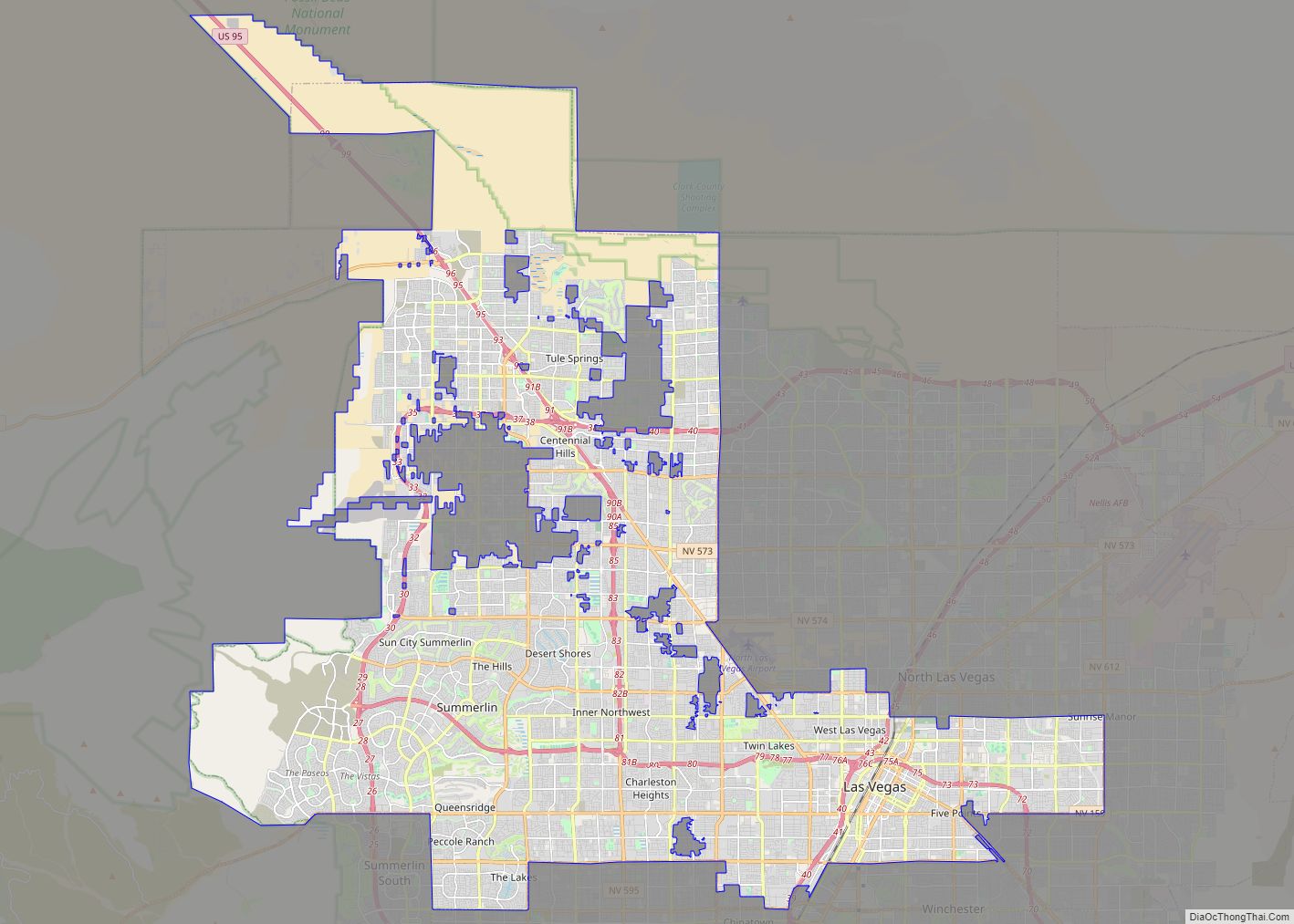
Mount Charleston Road Map
Mount Charleston city Satellite Map
Geography
According to the United States Census Bureau, the census-designated place (CDP) of Mount Charleston (which may not coincide exactly with the town boundaries) has a total area of 29.4 square miles (76 km), all of it land. The communities comprising Mt. Charleston are made up of four subdivisions: Echo, Cathedral, Old Town and Rainbow, as well as a condominium complex next to the US Forest Service’s Kyle Gateway.
See also
Map of Nevada State and its subdivision: Map of other states:- Alabama
- Alaska
- Arizona
- Arkansas
- California
- Colorado
- Connecticut
- Delaware
- District of Columbia
- Florida
- Georgia
- Hawaii
- Idaho
- Illinois
- Indiana
- Iowa
- Kansas
- Kentucky
- Louisiana
- Maine
- Maryland
- Massachusetts
- Michigan
- Minnesota
- Mississippi
- Missouri
- Montana
- Nebraska
- Nevada
- New Hampshire
- New Jersey
- New Mexico
- New York
- North Carolina
- North Dakota
- Ohio
- Oklahoma
- Oregon
- Pennsylvania
- Rhode Island
- South Carolina
- South Dakota
- Tennessee
- Texas
- Utah
- Vermont
- Virginia
- Washington
- West Virginia
- Wisconsin
- Wyoming
