Nelson is a census-designated place in Clark County, Nevada, United States. The community is in the Pacific Standard Time zone. The location of Nelson is in El Dorado Canyon, Eldorado Mountains. The town is in the southeast region of the Eldorado Valley. As of the 2010 census it had a population of 37.
| Name: | Nelson CDP |
|---|---|
| LSAD Code: | 57 |
| LSAD Description: | CDP (suffix) |
| State: | Nevada |
| County: | Clark County |
| Total Area: | 4.80 sq mi (12.43 km²) |
| Land Area: | 4.80 sq mi (12.43 km²) |
| Water Area: | 0.00 sq mi (0.00 km²) |
| Total Population: | 22 |
| Population Density: | 4.58/sq mi (1.77/km²) |
| Area code: | 702 and 725 |
| FIPS code: | 3250600 |
Online Interactive Map
Click on ![]() to view map in "full screen" mode.
to view map in "full screen" mode.
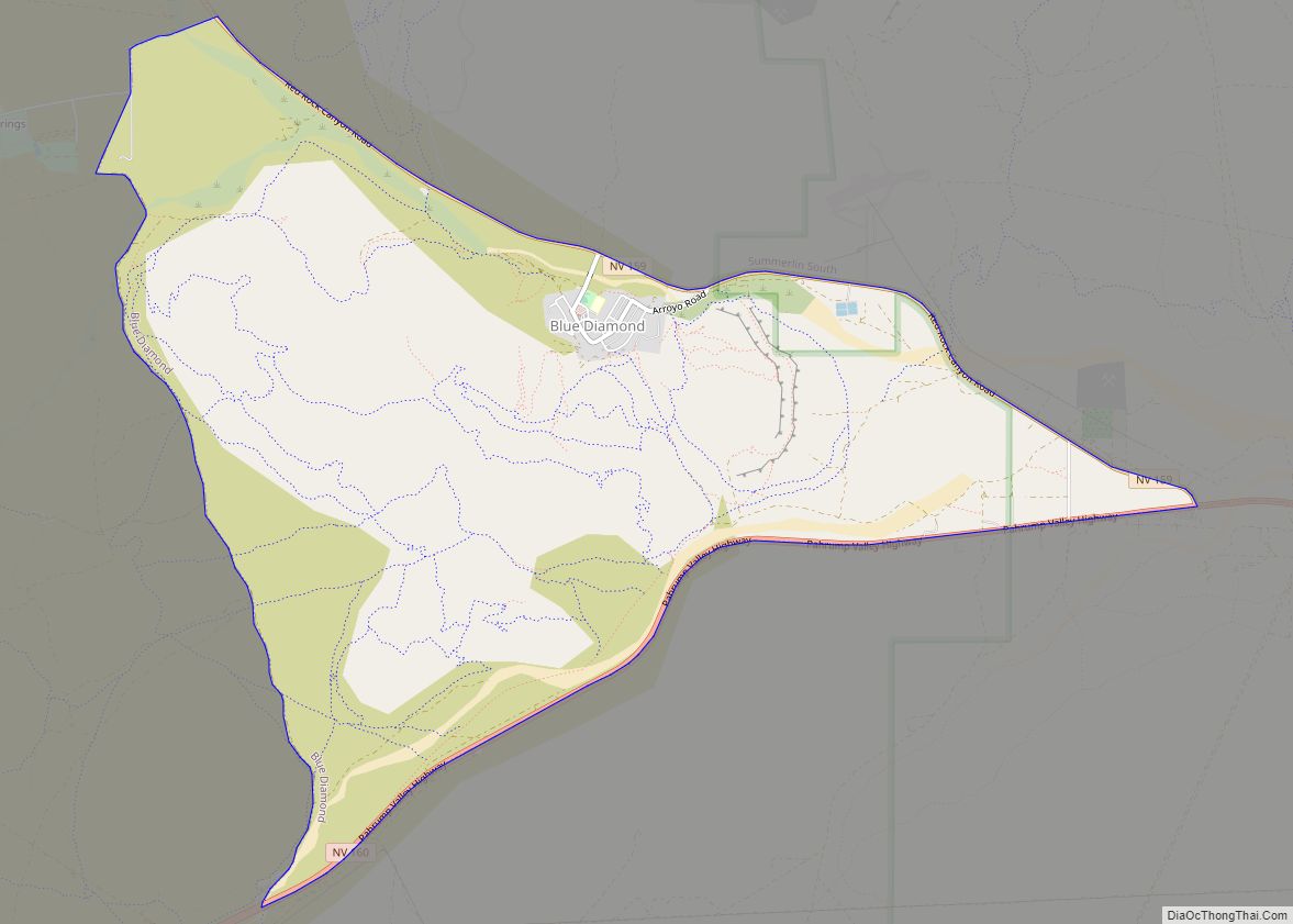
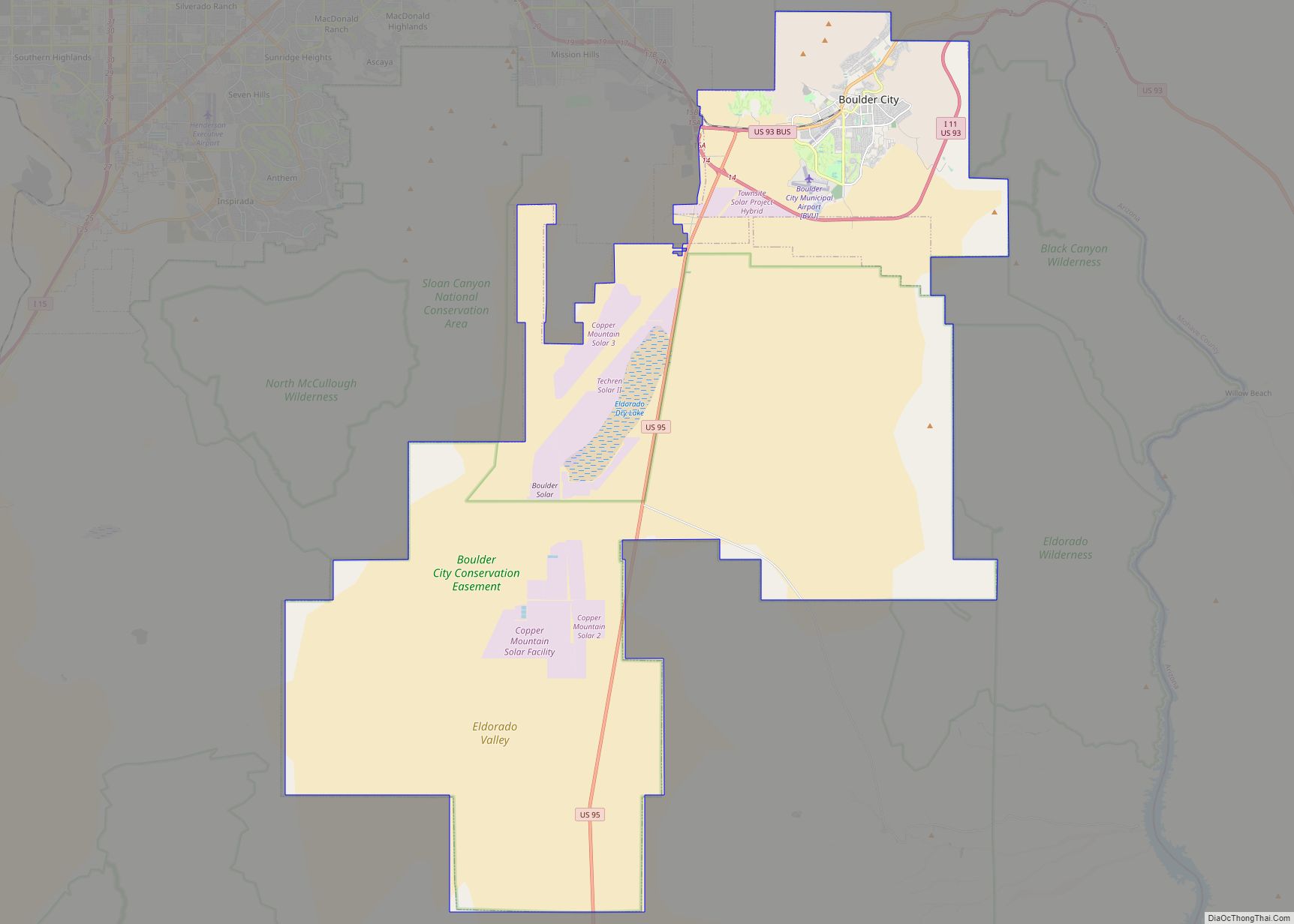
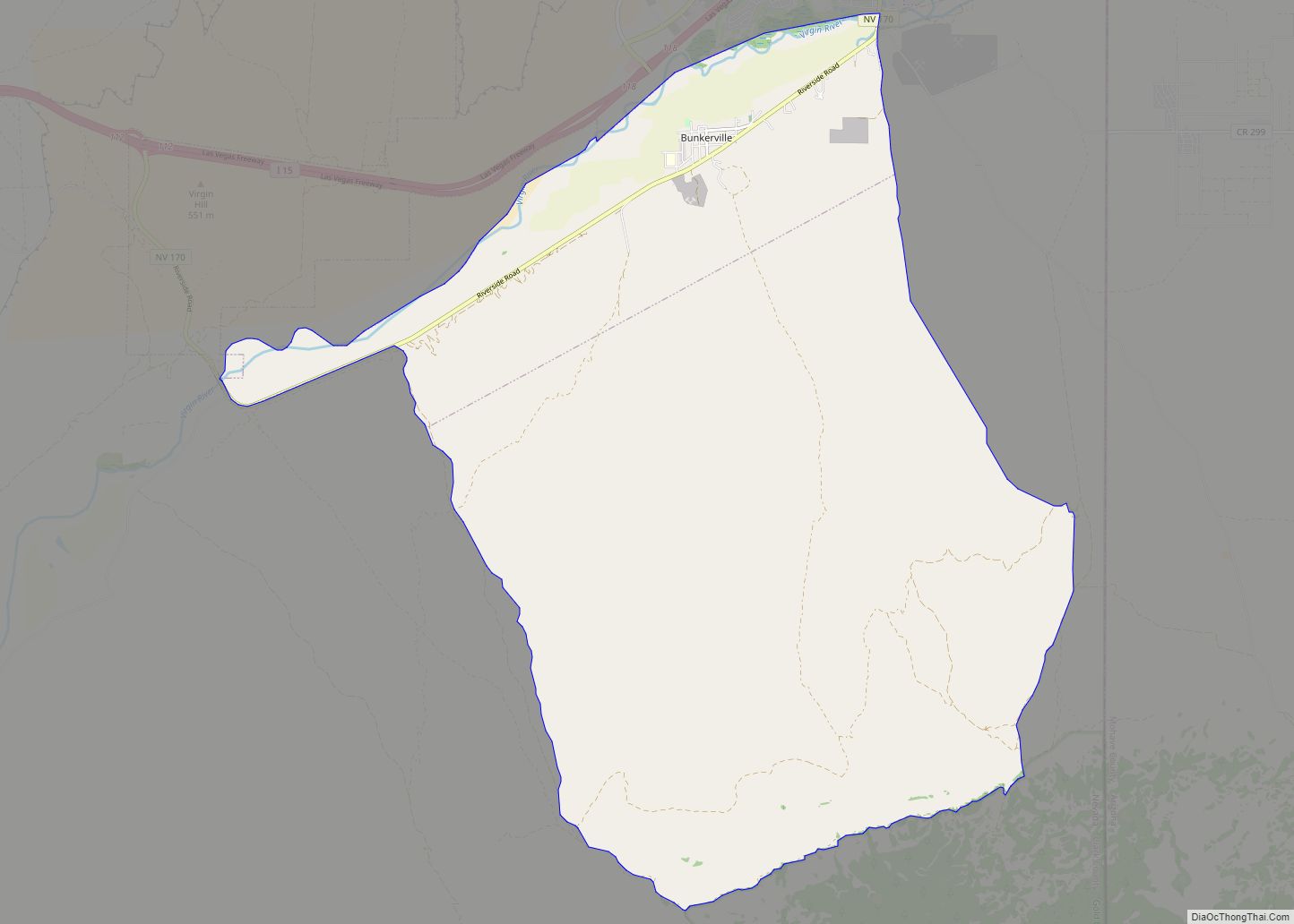
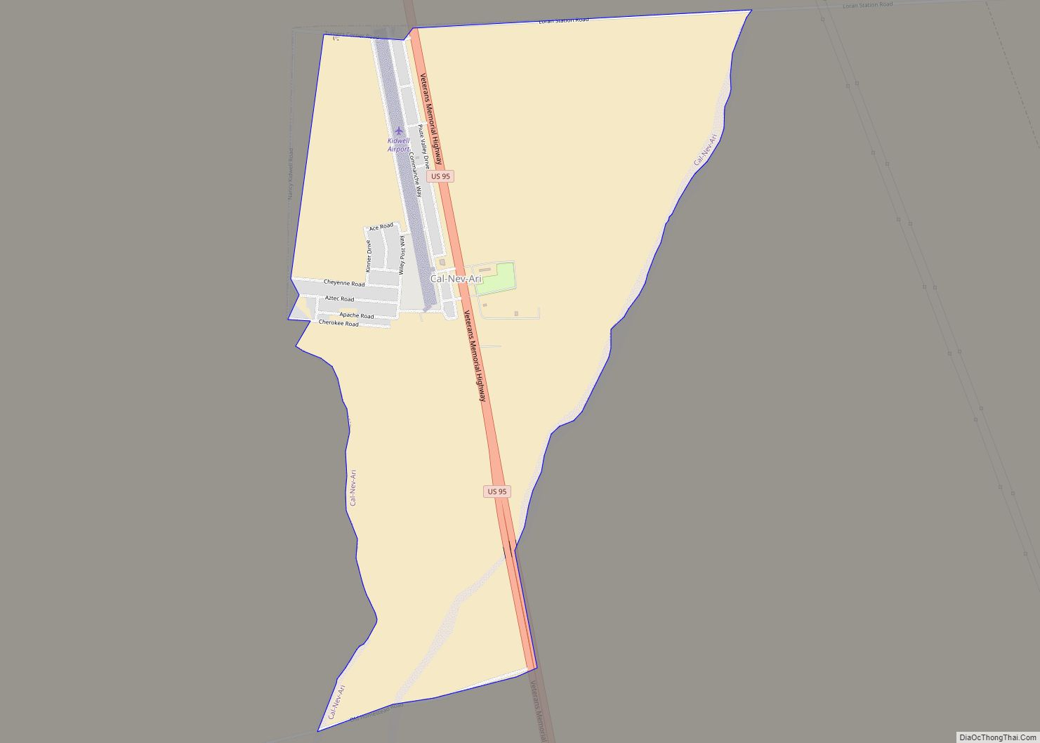
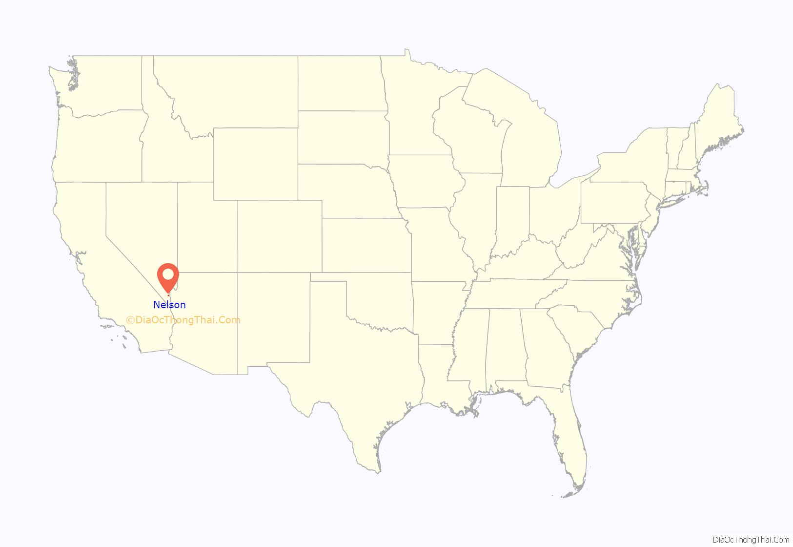
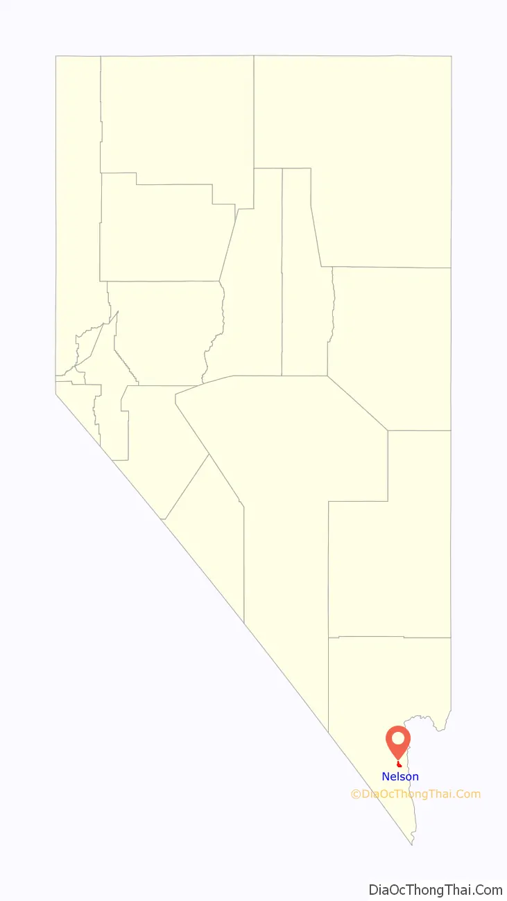
Nelson location map. Where is Nelson CDP?
History
Early history
The area known as Nelson was originally called Eldorado in 1775, by the Spaniards who made the original discoveries of gold in the area that is now Eldorado Canyon. The town was the site of one of the first major gold strikes in Nevada and one of the biggest mining booms in state history. Gold and silver were discovered here around 1859. The rush to the canyon began in 1861, several mining camps were established in the canyon, and a steamboat landing at the mouth of the canyon on the Colorado River, called Colorado City.
In its heyday, the area established a reputation for being rough and lawless. During the American Civil War, deserters from both the Union and Confederate armies would wander there, hoping that such an isolated location would be the last place military authorities would look for them.
Among the early mines established was the notorious Techatticup Mine in the middle of the canyon. Disagreements over ownership, management and labor disputes resulted in wanton killings so frequent as to be routine and ordinary. Despite the sinister reputation of the mine, it along with others in the town produced several million dollars in gold, silver, copper and lead. The mines in the canyon were active from about 1858 until 1945.
The community called Nelson was named for Charles Nelson, a camp leader who was slain in his home, along with four other people, in 1897 by the renegade Indian, Avote.
Between, 1901 and 1905 the San Pedro, Los Angeles and Salt Lake Railroad was built across southern Nevada, through Las Vegas, to Daggett, California where it connected to the AT&SF, and the complete Salt Lake–Los Angeles line was opened on May 1, 1905. This nearby railhead ended the need for steamboats at Eldorado Canyon, the landing and the mill there were abandoned. The town of Nelson was born near the head of the canyon nearest the road to the railroad, the post office of Eldorado was closed on August 31, 1907 and moved to Nelson.
Nelson’s Landing
Nelson’s Landing, about 5 miles (8 km) east of Nelson at the downstream end of Eldorado Canyon, was the village and landing established on Colorado River reservoir, Lake Mohave where the canyon had its confluence with the lake. The wharf area of Nelson’s Landing was destroyed during a flash flood on September 14, 1974. 35°42′27″N 114°42′42″W / 35.70750°N 114.71167°W / 35.70750; -114.71167
Nelson’s Landing washed into Lake Mohave after a strong downpour in the regional mountains sent the runoff down the channels and produced a flash flood. There are five wide channels that run from the local mountains toward the river, all of which converge into a small outlet where Nelson’s Landing was. The entire landing and village was destroyed and nine people died when the flood came through the wash. Among those killed was Ted Ducey, head coach of basketball at Claremont Men’s College, now Claremont McKenna College. The wall of water and debris was reported as about 40 feet (12 m) high as it reached the river.
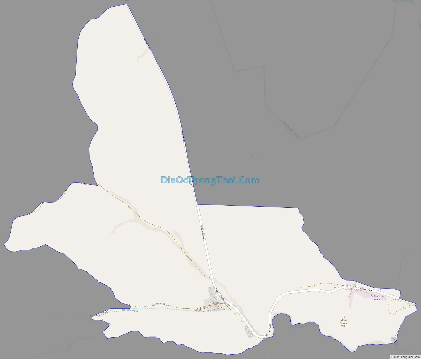
Nelson Road Map
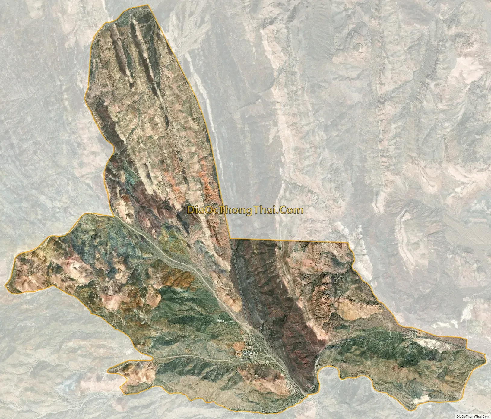
Nelson city Satellite Map
Geography
Nelson is located along Nevada State Route 165, about 8 miles (13 km) southeast of its junction with U.S. Route 95. Route 165 continues east 5 miles (8 km) to a dead end at Nelsons Landing on the Colorado River, 18 miles (29 km) by water north of Cottonwood Cove on Lake Mojave. Nelson is about 25 miles (40 km) from Boulder City by road.
See also
Map of Nevada State and its subdivision: Map of other states:- Alabama
- Alaska
- Arizona
- Arkansas
- California
- Colorado
- Connecticut
- Delaware
- District of Columbia
- Florida
- Georgia
- Hawaii
- Idaho
- Illinois
- Indiana
- Iowa
- Kansas
- Kentucky
- Louisiana
- Maine
- Maryland
- Massachusetts
- Michigan
- Minnesota
- Mississippi
- Missouri
- Montana
- Nebraska
- Nevada
- New Hampshire
- New Jersey
- New Mexico
- New York
- North Carolina
- North Dakota
- Ohio
- Oklahoma
- Oregon
- Pennsylvania
- Rhode Island
- South Carolina
- South Dakota
- Tennessee
- Texas
- Utah
- Vermont
- Virginia
- Washington
- West Virginia
- Wisconsin
- Wyoming