Panaca is an unincorporated town in eastern Lincoln County, Nevada, United States, on State Route 319, about 1 mile (1.6 kilometers) east of U.S. Route 93, near the border with Utah. Its elevation is 4,729 feet (1,441 meters) above sea level. As of the 2010 census, it had a population of 963. It is one of only two cities in Nevada that prohibits gambling, the other being Boulder City.
| Name: | Panaca CDP |
|---|---|
| LSAD Code: | 57 |
| LSAD Description: | CDP (suffix) |
| State: | Nevada |
| County: | Lincoln County |
| Total Area: | 3.08 sq mi (7.98 km²) |
| Land Area: | 3.08 sq mi (7.98 km²) |
| Water Area: | 0.00 sq mi (0.00 km²) |
| Total Population: | 870 |
| Population Density: | 282.47/sq mi (109.07/km²) |
| ZIP code: | 89042 |
| Area code: | 775 |
| FIPS code: | 3254200 |
| GNISfeature ID: | 0847542 |
| Website: | www.lincolncountynv.org |
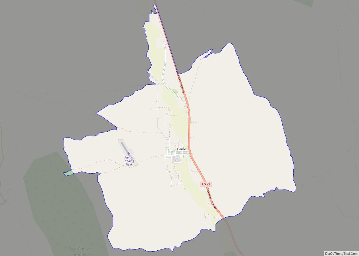
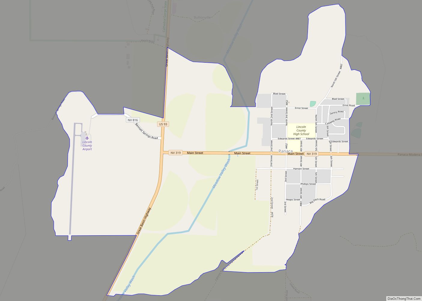
Online Interactive Map
Click on ![]() to view map in "full screen" mode.
to view map in "full screen" mode.
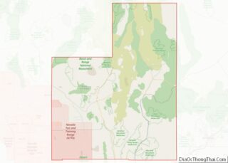
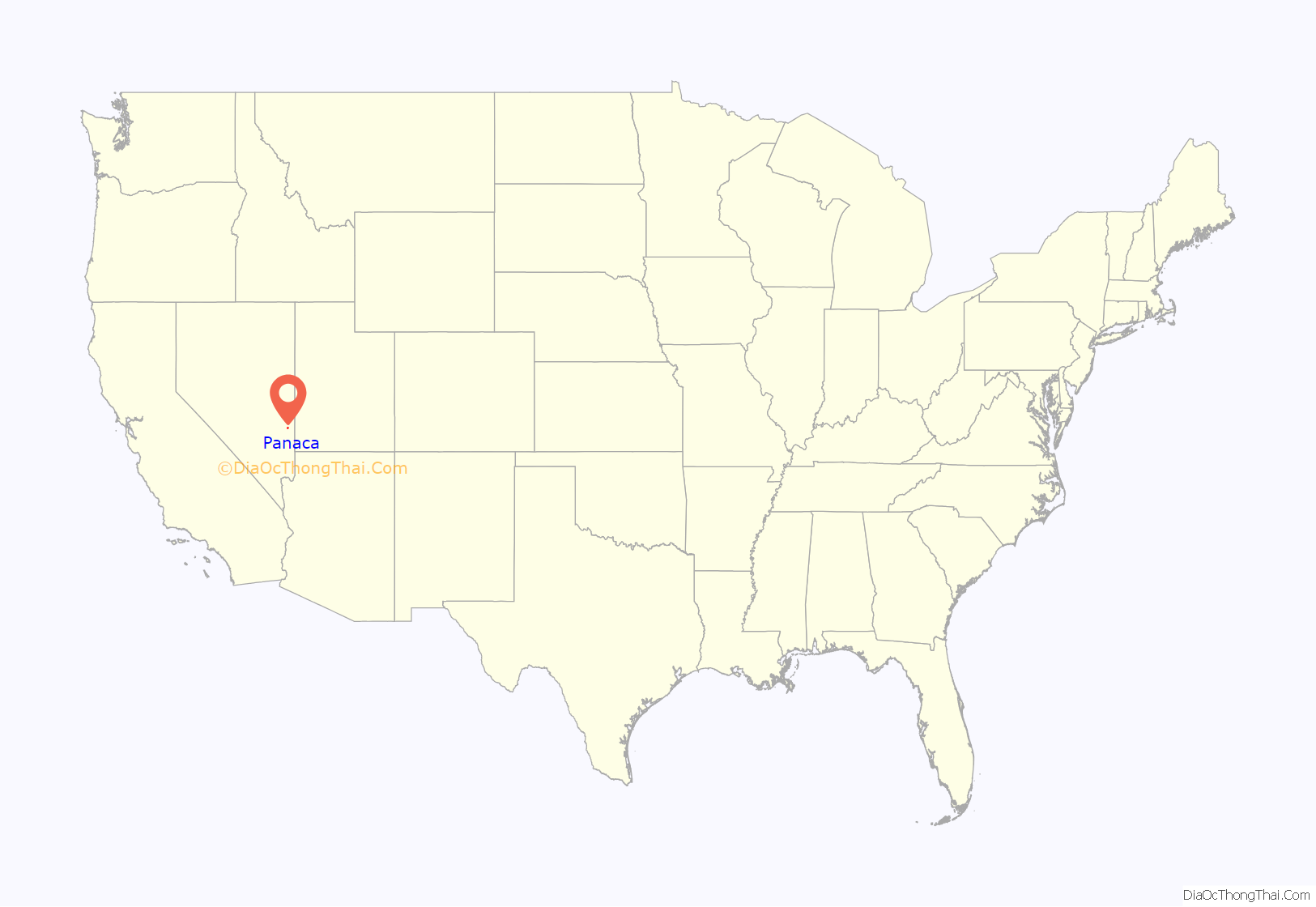
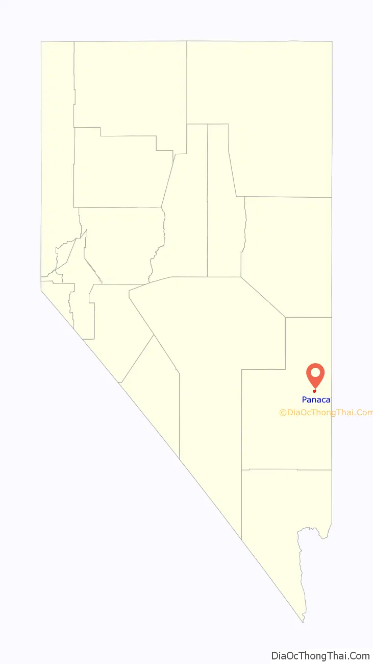
Panaca location map. Where is Panaca CDP?
History
The area that was to become the Panaca settlement was explored by Mormons in 1857. Brigham Young dispatched the explorers in order to locate a potential refuge in case of a U.S. military campaign against Utah. The location was selected due to the Meadow Valley oasis at the headwaters of the Muddy River. Mormon scouts began irrigation ditches and started fields, but the site was soon deserted after the feared violence never materialized. Panaca was the first permanent settlement by European Americans in southern Nevada. It was founded as a Mormon colony in 1864. It began as part of Washington County, Utah, but the congressional redrawing of boundaries in 1866 shifted Panaca into Nevada. It is the only community in Nevada to be “dry” (forbidding the sale of alcoholic beverages), and the only community in Nevada, besides Boulder City, that prohibits gambling.
Coke ovens here once produced charcoal for the smelters in nearby Bullionville (now a ghost town), but the town’s economy is predominantly agricultural.
The name “Panaca” comes from the Southern Paiute word Pan-nuk-ker, which means “metal, money, wealth”. William Hamblin, a Mormon missionary to the Paiutes, established the Panacker Ledge (Panaca Claim) silver mine there in 1864.
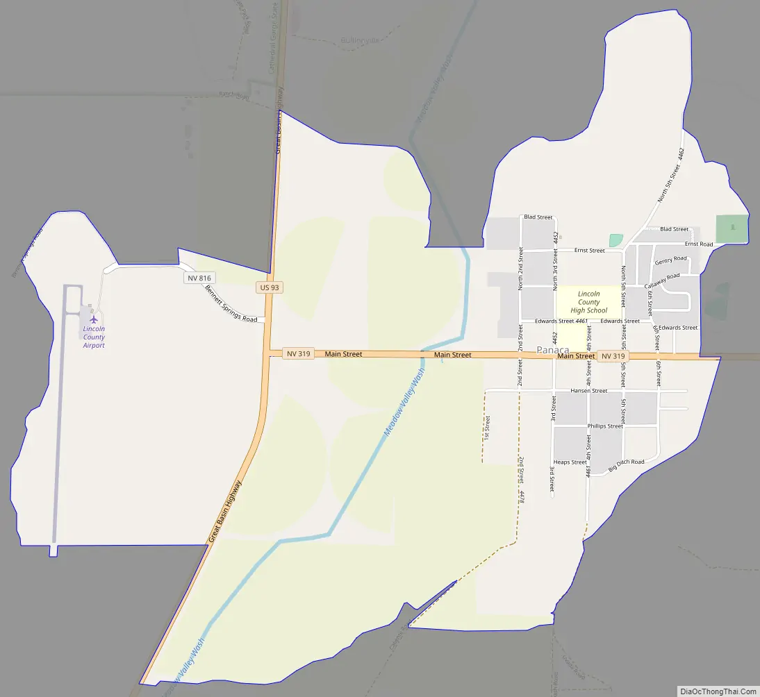
Panaca Road Map
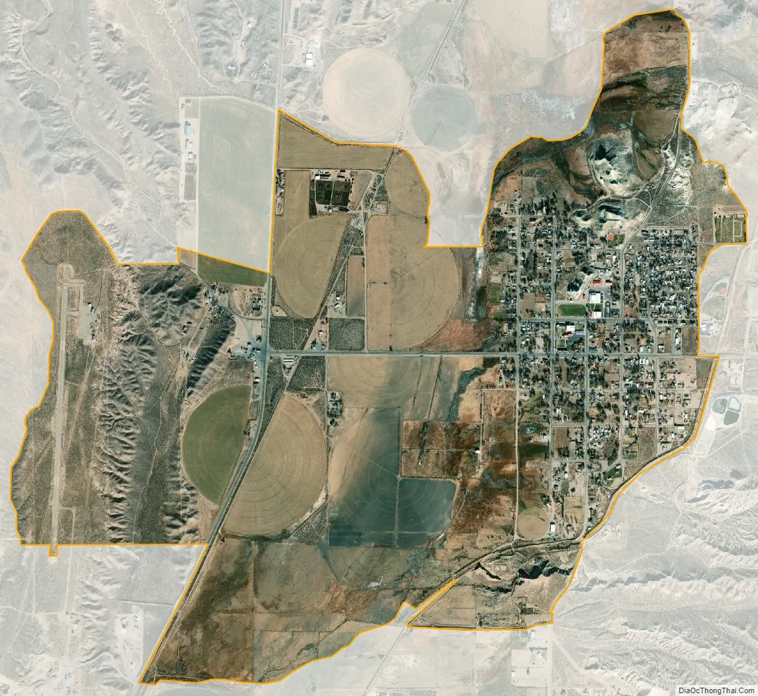
Panaca city Satellite Map
Geography
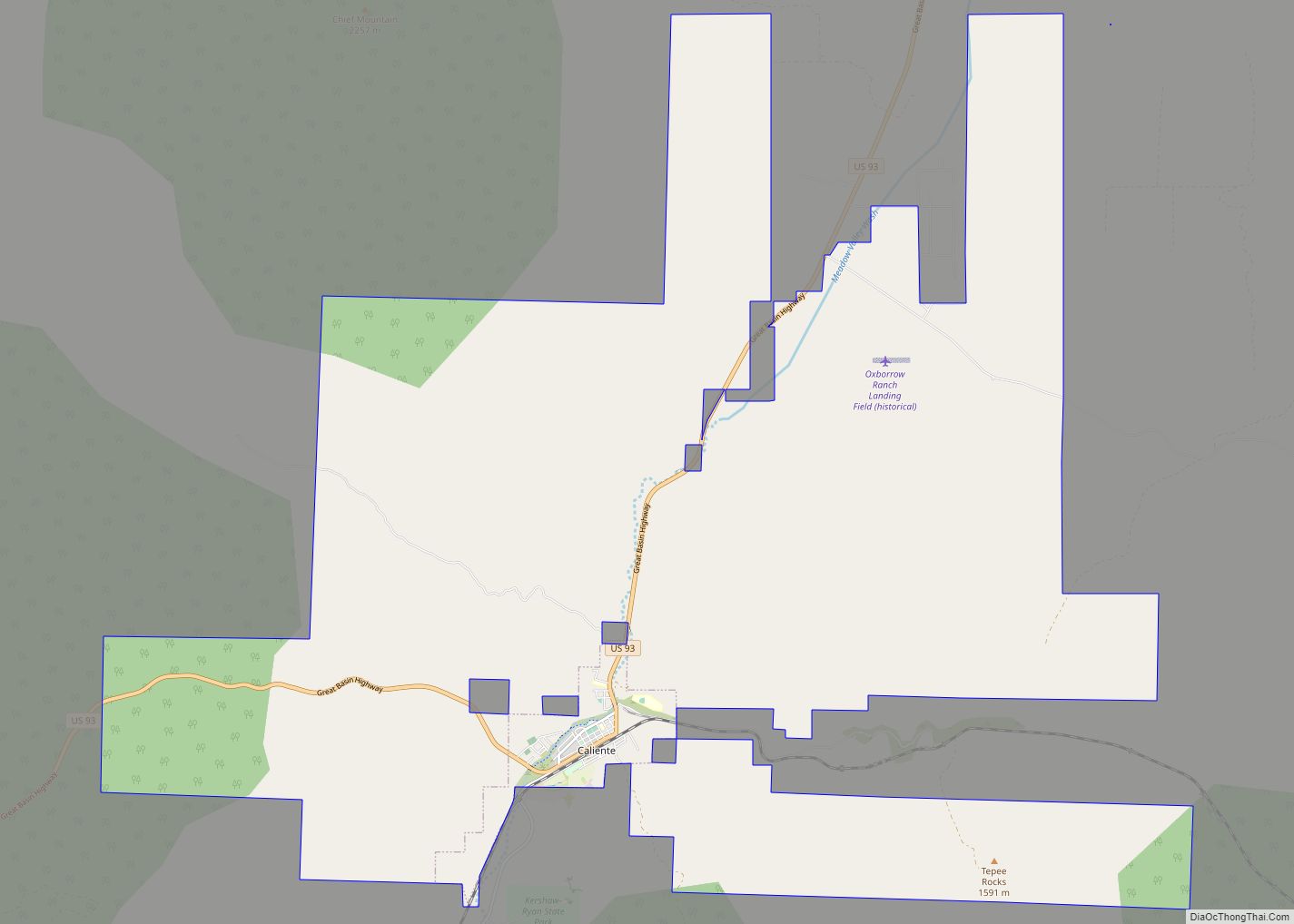
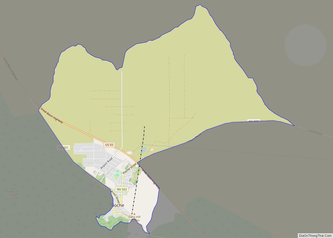
According to the U.S. Census Bureau, the Panaca census-designated place has an area of 3.3 square miles (8.5 km), all of it land. Along Nevada State Route 319 it is 19 miles (31 km) east to the Utah state line and from there another 60 miles (97 km) east to Cedar City, Utah. West from Panaca it is 1.0 mile (1.6 km) to U.S. Route 93, at which point it is 11 miles (18 km) north to Pioche and 14 miles (23 km) south to Caliente.
See also
Map of Nevada State and its subdivision: Map of other states:- Alabama
- Alaska
- Arizona
- Arkansas
- California
- Colorado
- Connecticut
- Delaware
- District of Columbia
- Florida
- Georgia
- Hawaii
- Idaho
- Illinois
- Indiana
- Iowa
- Kansas
- Kentucky
- Louisiana
- Maine
- Maryland
- Massachusetts
- Michigan
- Minnesota
- Mississippi
- Missouri
- Montana
- Nebraska
- Nevada
- New Hampshire
- New Jersey
- New Mexico
- New York
- North Carolina
- North Dakota
- Ohio
- Oklahoma
- Oregon
- Pennsylvania
- Rhode Island
- South Carolina
- South Dakota
- Tennessee
- Texas
- Utah
- Vermont
- Virginia
- Washington
- West Virginia
- Wisconsin
- Wyoming