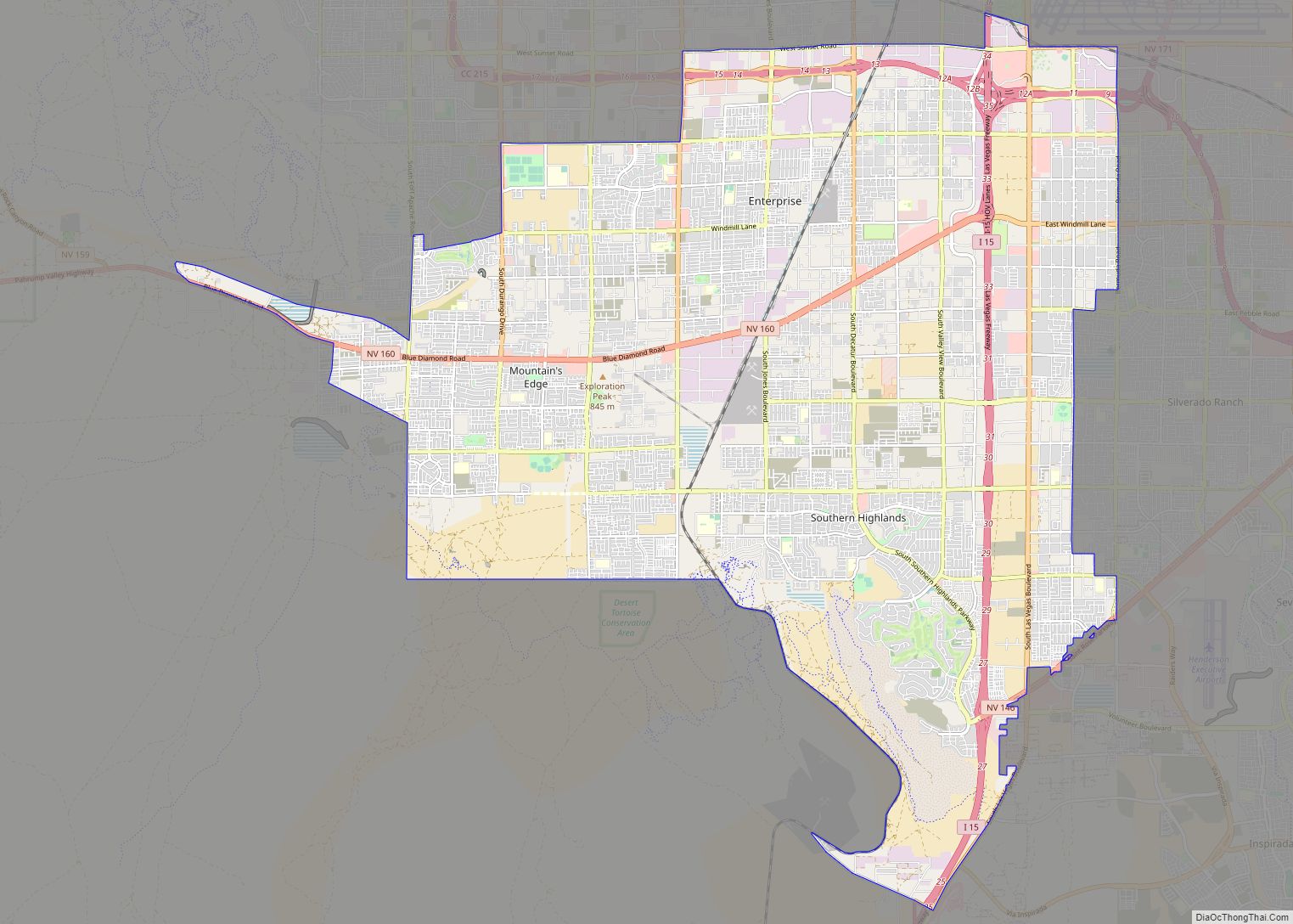
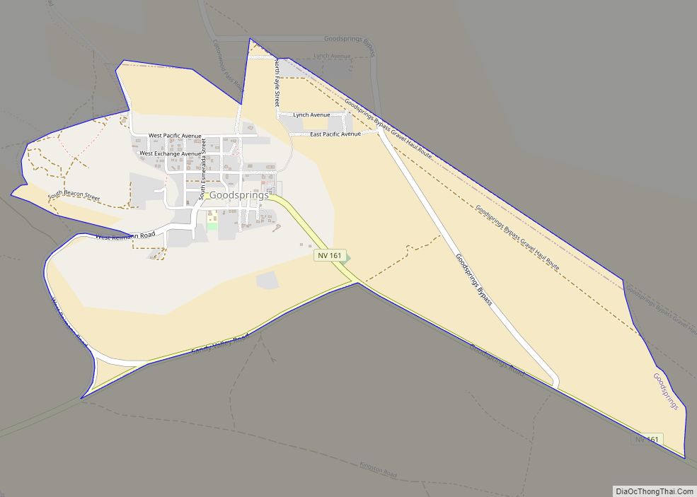
Sandy Valley is a bedroom community of Las Vegas located in west–central Clark County, Nevada, United States. It is approximately 35 miles (56 km) from the southern part of Las Vegas and west Henderson, Nevada and 20 miles from the Jean exit at Interstate 15. Sandy Valley is also located 14 miles from the historic town of Goodsprings, Nevada.
Sandy Valley is a popular tourist destination offering many unique adventures in the Mojave Desert of Southern Nevada, including the Sandy Valley Ranch, Sandy Valley Motocross, Gunship Helicopter Adventures, Adrenaline Mountain, and the new upcoming Ford Bronco Raptor Off-Roadeo Adventures (Summer 2023).
Sandy Valley is home to Sky Ranch Estates, a custom residential aviation community with private hangars and direct access to the privately owned, public use aviation Airport (FAA LID: 3L2)
| Name: | Sandy Valley CDP |
|---|---|
| LSAD Code: | 57 |
| LSAD Description: | CDP (suffix) |
| State: | Nevada |
| County: | Clark County |
| Elevation: | 2,641 ft (805 m) |
| Total Area: | 56.00 sq mi (145.03 km²) |
| Land Area: | 56.00 sq mi (145.03 km²) |
| Water Area: | 0.00 sq mi (0.00 km²) |
| Total Population: | 1,663 |
| Population Density: | 29.70/sq mi (11.47/km²) |
| ZIP code: | 89019 |
| Area code: | 702 and 725 |
| FIPS code: | 3264600 |
| GNISfeature ID: | 0854717 |
Online Interactive Map
Click on ![]() to view map in "full screen" mode.
to view map in "full screen" mode.
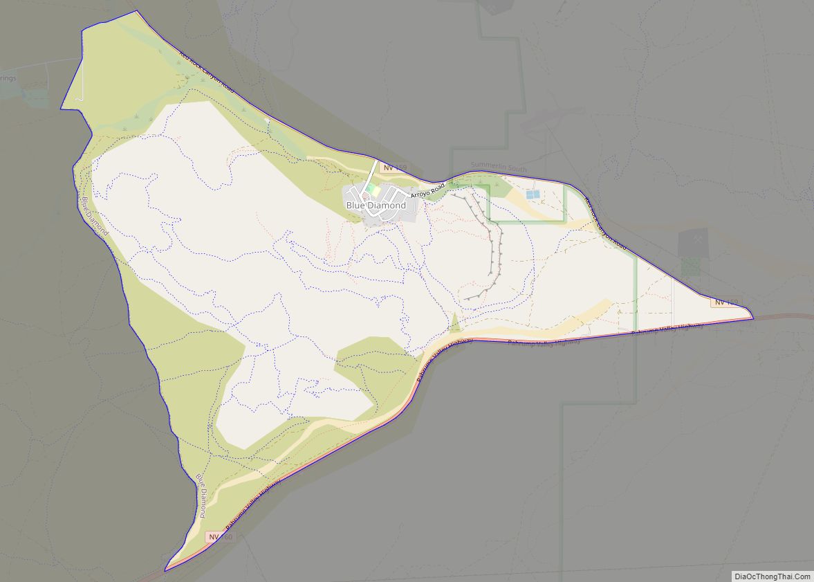
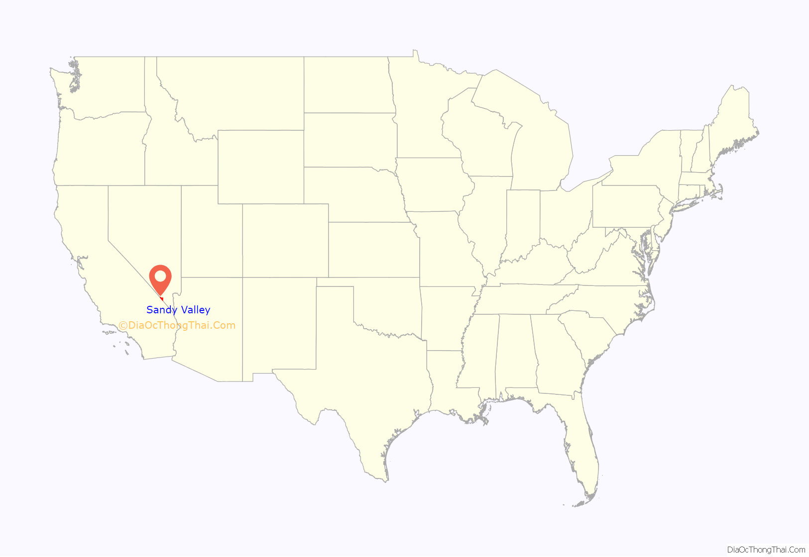
Sandy Valley location map. Where is Sandy Valley CDP?
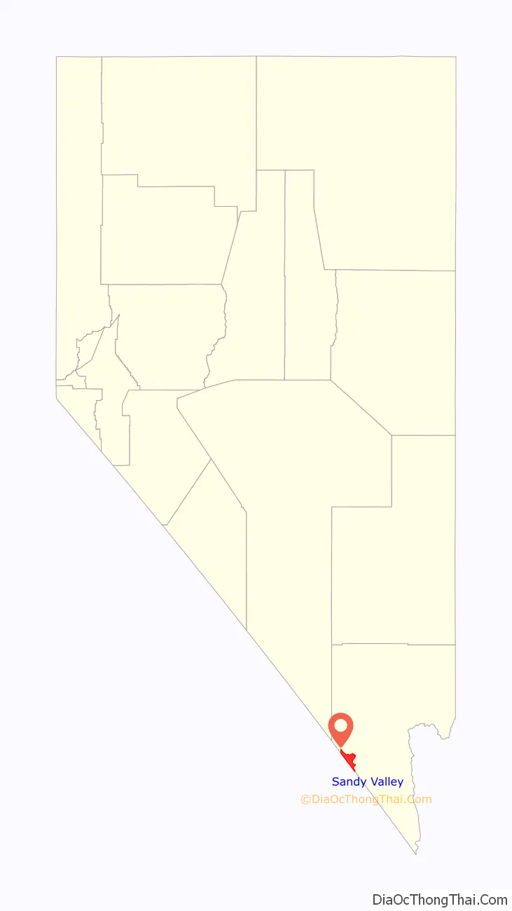
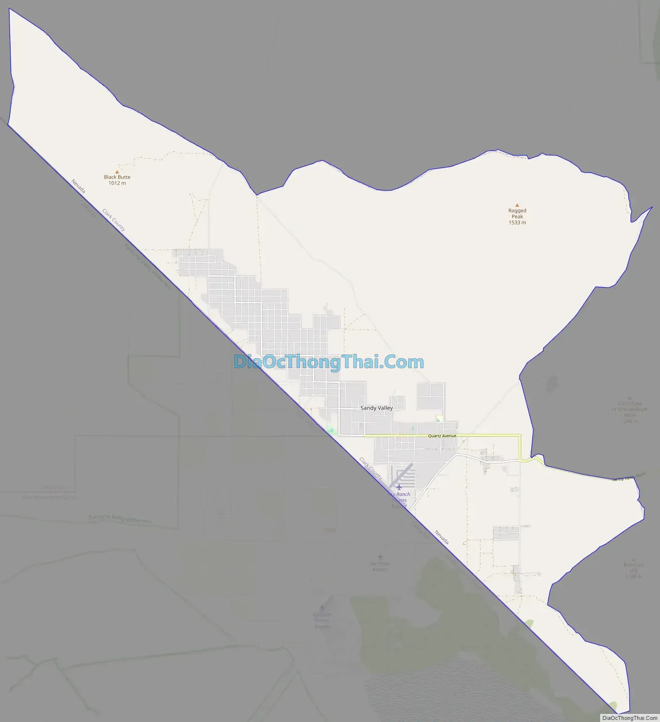
Sandy Valley Road Map
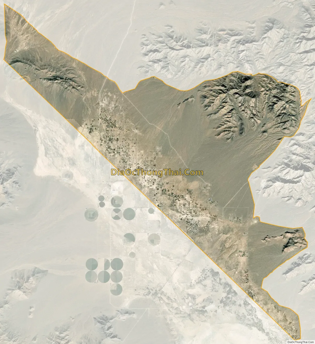
Sandy Valley city Satellite Map
Geography
Sandy Valley is located in the Mesquite Valley of the Mojave desert and bordered by the southern extension of the Spring Mountains and Mount Potosi to the East, and by the Kingston Mountain range to the west. 35°49′44″N 115°39′7″W / 35.82889°N 115.65194°W / 35.82889; -115.65194 (35.828999, -115.651943).
Sandy Valley has a total area of 56.0 square miles (145 km).
See also
Map of Nevada State and its subdivision: Map of other states:- Alabama
- Alaska
- Arizona
- Arkansas
- California
- Colorado
- Connecticut
- Delaware
- District of Columbia
- Florida
- Georgia
- Hawaii
- Idaho
- Illinois
- Indiana
- Iowa
- Kansas
- Kentucky
- Louisiana
- Maine
- Maryland
- Massachusetts
- Michigan
- Minnesota
- Mississippi
- Missouri
- Montana
- Nebraska
- Nevada
- New Hampshire
- New Jersey
- New Mexico
- New York
- North Carolina
- North Dakota
- Ohio
- Oklahoma
- Oregon
- Pennsylvania
- Rhode Island
- South Carolina
- South Dakota
- Tennessee
- Texas
- Utah
- Vermont
- Virginia
- Washington
- West Virginia
- Wisconsin
- Wyoming