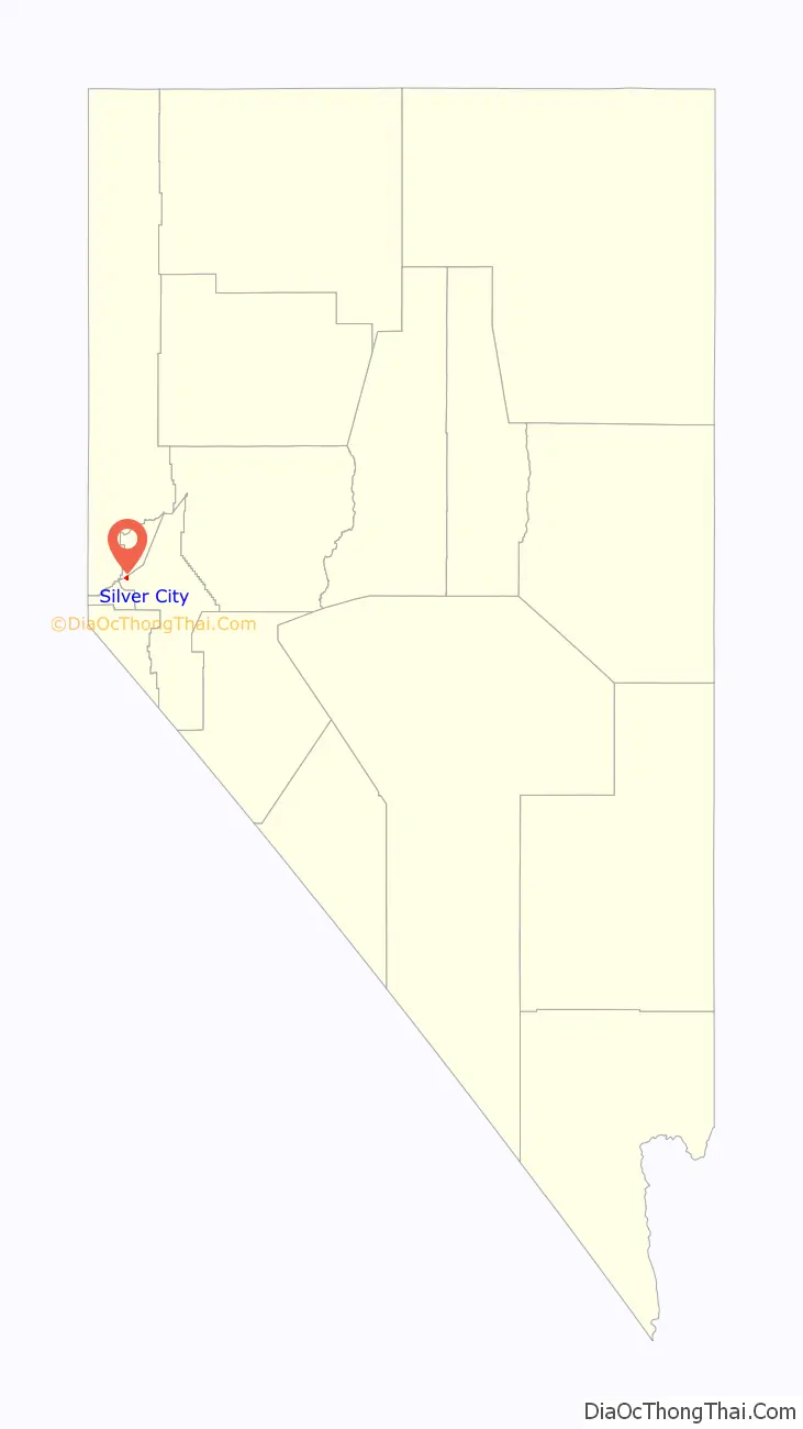
Silver City is a Census Designated Place and small residential community in Lyon County, Nevada, USA, near the Lyon/Carson border. The population as of the 2000 census was 170.
| Name: | Silver City CDP |
|---|---|
| LSAD Code: | 57 |
| LSAD Description: | CDP (suffix) |
| State: | Nevada |
| County: | Lyon County |
| Elevation: | 5,102 ft (1,555 m) |
| Total Area: | 0.97 sq mi (2.50 km²) |
| Land Area: | 0.97 sq mi (2.50 km²) |
| Water Area: | 0.00 sq mi (0.00 km²) |
| Total Population: | 155 |
| Population Density: | 160.29/sq mi (61.89/km²) |
| FIPS code: | 3266800 |
| GNISfeature ID: | 2728753 |
Online Interactive Map
Click on ![]() to view map in "full screen" mode.
to view map in "full screen" mode.
Silver City location map. Where is Silver City CDP?
History
Silver City, overlooking Gold Canyon
Devils Gate and Silver City. Left photo is circa 1866; right photo is 2010.
Silver City was established in 1859, named for the silver deposits discovered in the area near the Lyon/Carson border. Through this narrow gorge called Gold Canyon, above the historic Devil’s Gate rock formation, thousands of travelers passed on their way to the silver mines of the Comstock Lode.
By 1861, the town had four hotels, multiple saloons and boarding houses, and a population of 1,200. Silver city provided boarding facilities for animals used in hauling ore-laden wagons between the Comstock mining areas and mills on the Carson River. A foundry, the first iron works in Nevada was moved here from Johntown in 1862. The town was the site of the Comstock’s first silver mill—Paul’s Pioneer. During the 1870s, additional mills were built and by 1871, Silver City had eight mills with 95 stamps.
The population began to decline after the Virginia and Truckee Railroad was completed in 1869. Construction workers left the area, taking their business with them.
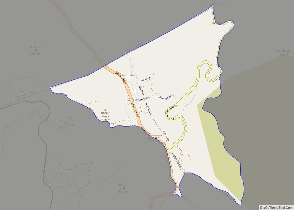
Silver City Road Map
Silver City city Satellite Map
Geography
Climate
Silver City experiences a warm summer Mediterranean climate (Csb).
See also
Map of Nevada State and its subdivision: Map of other states:- Alabama
- Alaska
- Arizona
- Arkansas
- California
- Colorado
- Connecticut
- Delaware
- District of Columbia
- Florida
- Georgia
- Hawaii
- Idaho
- Illinois
- Indiana
- Iowa
- Kansas
- Kentucky
- Louisiana
- Maine
- Maryland
- Massachusetts
- Michigan
- Minnesota
- Mississippi
- Missouri
- Montana
- Nebraska
- Nevada
- New Hampshire
- New Jersey
- New Mexico
- New York
- North Carolina
- North Dakota
- Ohio
- Oklahoma
- Oregon
- Pennsylvania
- Rhode Island
- South Carolina
- South Dakota
- Tennessee
- Texas
- Utah
- Vermont
- Virginia
- Washington
- West Virginia
- Wisconsin
- Wyoming

