Sunrise Manor is a census-designated place in Clark County, Nevada, United States, located on the western base of Frenchman Mountain, east of Las Vegas. The population was 205,618 at the 2020 census. If Sunrise Manor were to be incorporated, it would be one of the largest cities in Nevada. Sunrise Manor was formed in May 1957.
| Name: | Sunrise Manor CDP |
|---|---|
| LSAD Code: | 57 |
| LSAD Description: | CDP (suffix) |
| State: | Nevada |
| County: | Clark County |
| Founded: | May 1957; 66 years ago (1957-05) |
| Elevation: | 1,821 ft (555 m) |
| Total Area: | 33.71 sq mi (87.32 km²) |
| Land Area: | 33.71 sq mi (87.32 km²) |
| Water Area: | 0.00 sq mi (0.00 km²) |
| Total Population: | 205,618 |
| Population Density: | 6,099.07/sq mi (2,354.87/km²) |
| Area code: | 702 and 725 |
| FIPS code: | 3271400 |
| GNISfeature ID: | 1867351 |
Online Interactive Map
Click on ![]() to view map in "full screen" mode.
to view map in "full screen" mode.
Sunrise Manor location map. Where is Sunrise Manor CDP?
History
In 1957, North Las Vegas was planning for annexation of the area, and the Clark County Commission did not approve of it, and so created Sunrise Manor in May of the same year. It originally only consisted of the northern fraction of its modern-day boundary. By the time of the 1970 Census, the census-designated place of Vegas Creek was formed to the south of Sunrise Manor. It was dissolved in 1980, and added to Sunrise Manor the same year, roughly making Sunrise Manor’s boundaries similar to its modern-day borders.
In 2018, some of the residents of Sunrise Manor proposed incorporation as its own city. This proposed city would include Sunrise Manor and neighboring Whitney. Residents who were for incorporation argued that Sunrise Manor does not get enough recognition being part of Clark County and that a city would need to address crime, drugs, and homelessness, while residents who were against incorporation argued that incorporation will be costly and inefficient, comparing it to North Las Vegas.
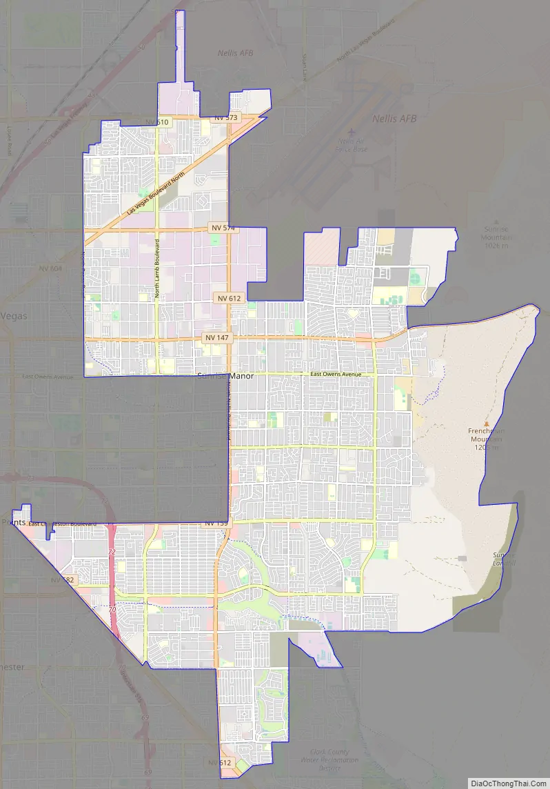
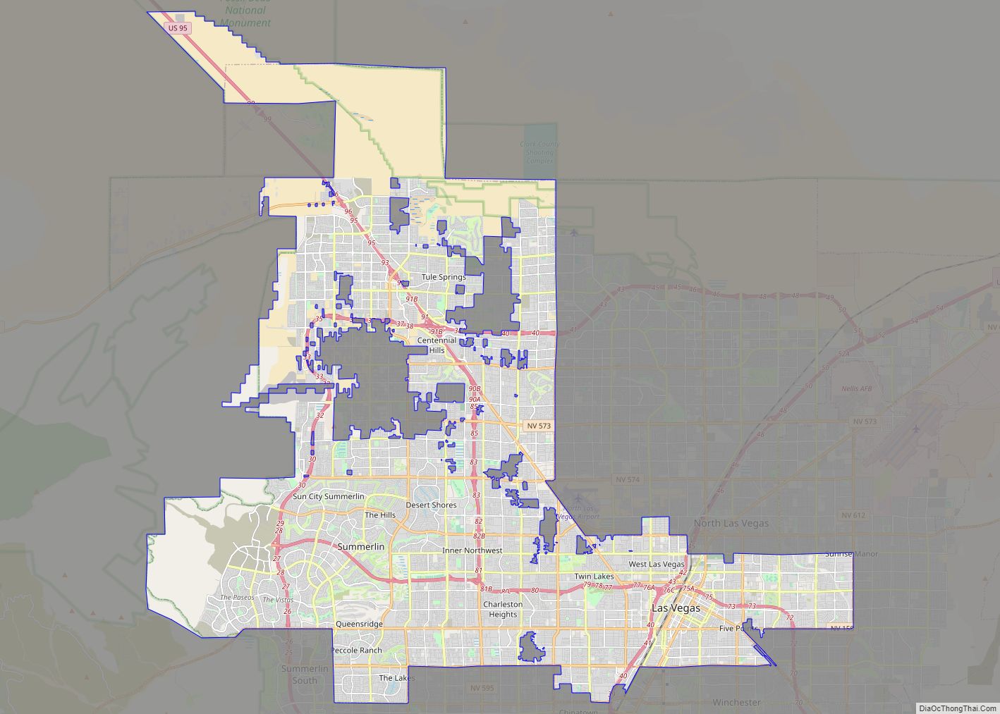
Sunrise Manor Road Map
Sunrise Manor city Satellite Map
Geography
According to the United States Census Bureau, the census-designated place (CDP) of Sunrise Manor (which may not coincide exactly with the town boundaries) has a total area of 33.4 square miles (86.4 km), all of it land.
See also
Map of Nevada State and its subdivision: Map of other states:- Alabama
- Alaska
- Arizona
- Arkansas
- California
- Colorado
- Connecticut
- Delaware
- District of Columbia
- Florida
- Georgia
- Hawaii
- Idaho
- Illinois
- Indiana
- Iowa
- Kansas
- Kentucky
- Louisiana
- Maine
- Maryland
- Massachusetts
- Michigan
- Minnesota
- Mississippi
- Missouri
- Montana
- Nebraska
- Nevada
- New Hampshire
- New Jersey
- New Mexico
- New York
- North Carolina
- North Dakota
- Ohio
- Oklahoma
- Oregon
- Pennsylvania
- Rhode Island
- South Carolina
- South Dakota
- Tennessee
- Texas
- Utah
- Vermont
- Virginia
- Washington
- West Virginia
- Wisconsin
- Wyoming


