Adair is a town in Mayes County, Oklahoma, United States. The population was 790 at the 2010 census, compared to the figure of 704 recorded in 2000. Named for two prominent Cherokee brothers, the town was established in 1883. It opened a Cherokee school.
| Name: | Adair town |
|---|---|
| LSAD Code: | 43 |
| LSAD Description: | town (suffix) |
| State: | Oklahoma |
| County: | Mayes County |
| Elevation: | 682 ft (208 m) |
| Total Area: | 4.92 sq mi (12.73 km²) |
| Land Area: | 4.92 sq mi (12.73 km²) |
| Water Area: | 0.00 sq mi (0.00 km²) |
| Total Population: | 732 |
| Population Density: | 148.93/sq mi (57.50/km²) |
| ZIP code: | 74330 |
| FIPS code: | 4000250 |
| GNISfeature ID: | 1089525 |
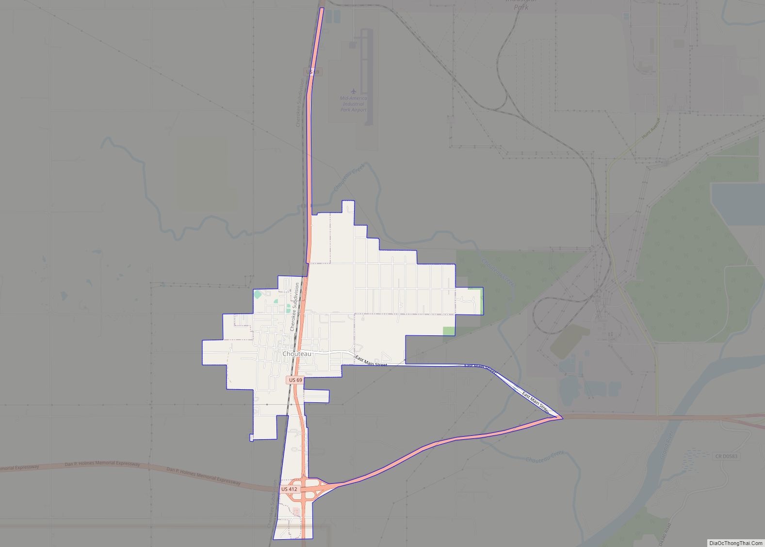
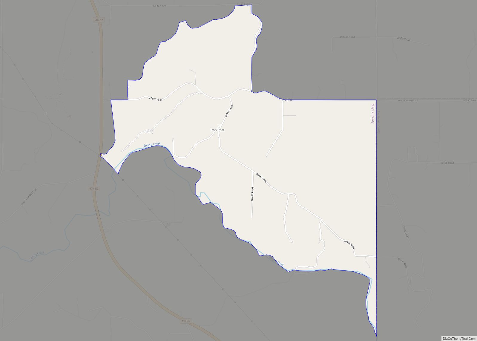
Online Interactive Map
Click on ![]() to view map in "full screen" mode.
to view map in "full screen" mode.
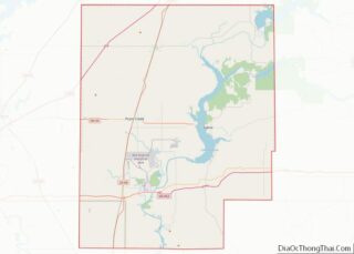
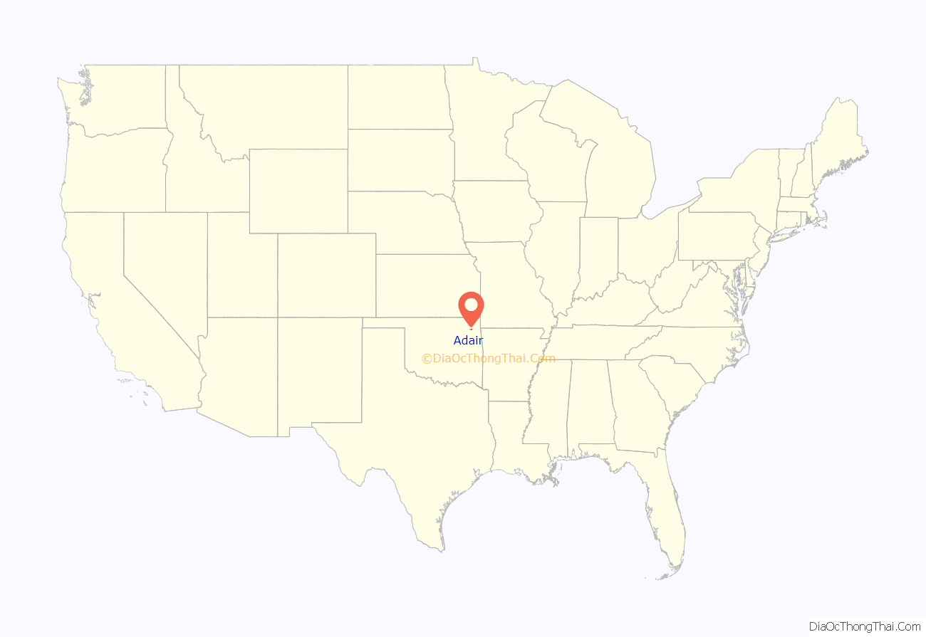
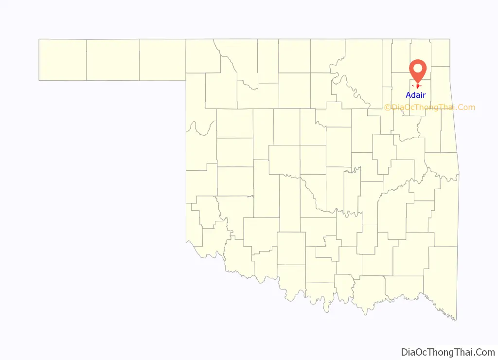
Adair location map. Where is Adair town?
History
Adair is named after two Cherokee brothers, William Penn Adair, a politician and jurist, and Dr. Walter Thompson Adair. It was established on March 15, 1883, and incorporated in 1897. William Penn Adair lived in the area off and on for 17 years beginning in the late 1860s.
In the 1880s, a Cherokee school was started here. In 1907, shortly before statehood, the school began to admit white students.
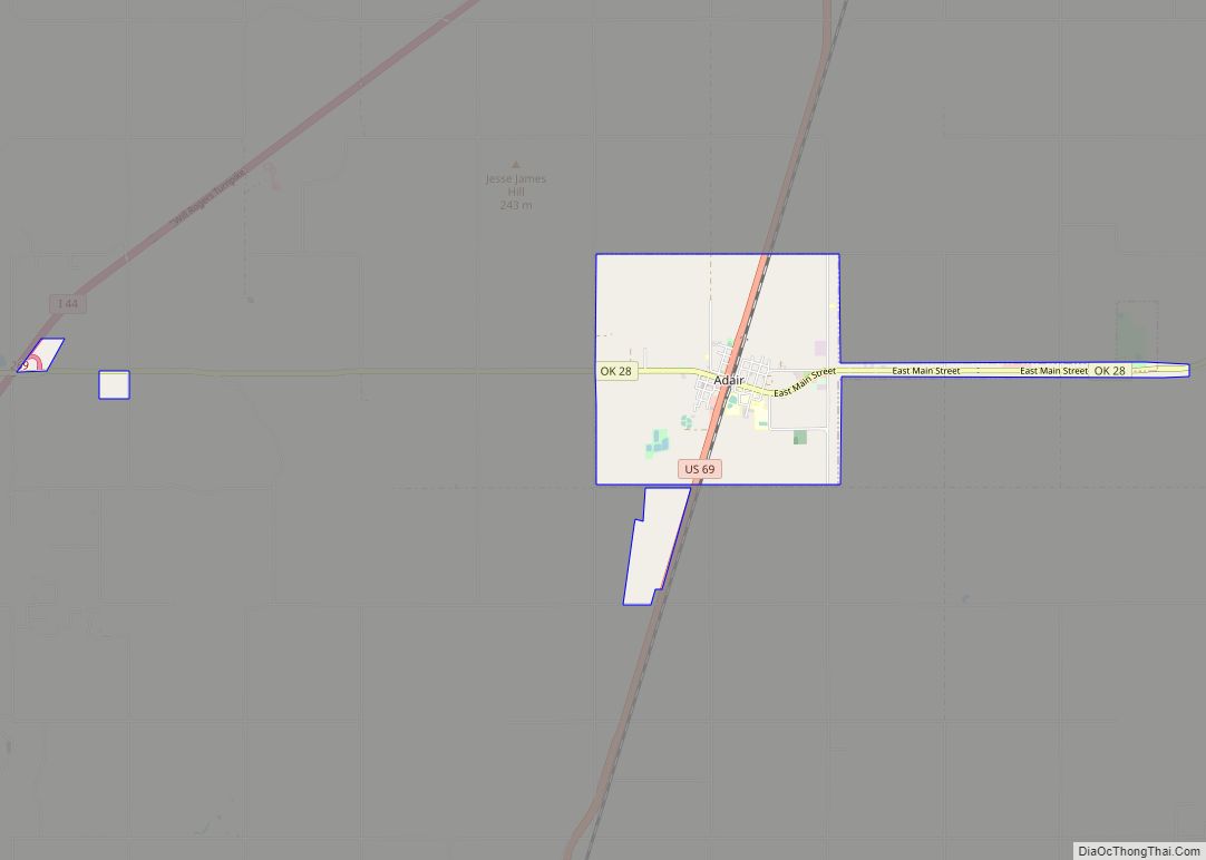
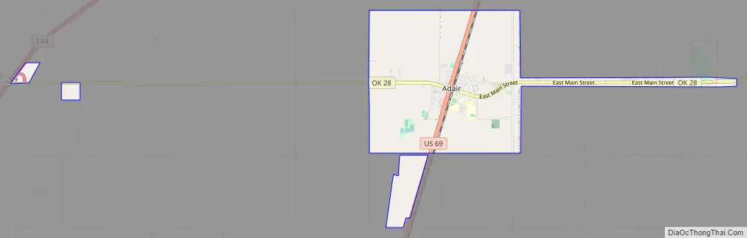
Adair Road Map
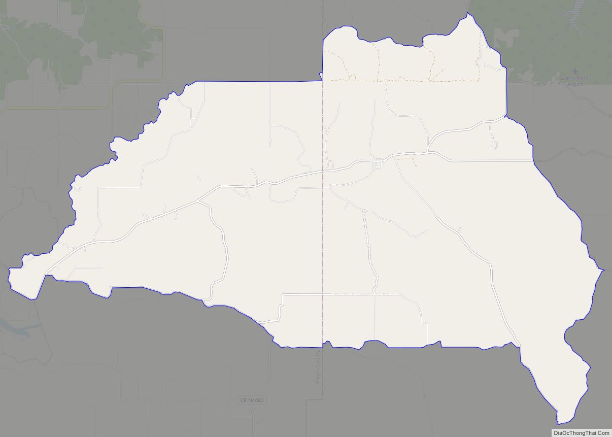
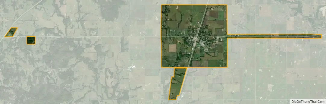
Adair city Satellite Map
Geography
Adair lies 10 miles (16 km) north of Pryor on U.S. Route 69 in Mayes County. The city is in the northeastern portion of the state known as “Green Country” and is near the borders of Kansas, Missouri, and Arkansas. Adair’s geographic coordinates are 36°26′13″N 95°15′45″W / 36.43694°N 95.26250°W / 36.43694; -95.26250 (36.436910, -95.262546) with an elevation of 640 ft (200 m) above sea level. According to the United States Census Bureau, the town has a total area of 4.5 square miles (12 km), all land.
See also
Map of Oklahoma State and its subdivision:- Adair
- Alfalfa
- Atoka
- Beaver
- Beckham
- Blaine
- Bryan
- Caddo
- Canadian
- Carter
- Cherokee
- Choctaw
- Cimarron
- Cleveland
- Coal
- Comanche
- Cotton
- Craig
- Creek
- Custer
- Delaware
- Dewey
- Ellis
- Garfield
- Garvin
- Grady
- Grant
- Greer
- Harmon
- Harper
- Haskell
- Hughes
- Jackson
- Jefferson
- Johnston
- Kay
- Kingfisher
- Kiowa
- Latimer
- Le Flore
- Lincoln
- Logan
- Love
- Major
- Marshall
- Mayes
- McClain
- McCurtain
- McIntosh
- Murray
- Muskogee
- Noble
- Nowata
- Okfuskee
- Oklahoma
- Okmulgee
- Osage
- Ottawa
- Pawnee
- Payne
- Pittsburg
- Pontotoc
- Pottawatomie
- Pushmataha
- Roger Mills
- Rogers
- Seminole
- Sequoyah
- Stephens
- Texas
- Tillman
- Tulsa
- Wagoner
- Washington
- Washita
- Woods
- Woodward
- Alabama
- Alaska
- Arizona
- Arkansas
- California
- Colorado
- Connecticut
- Delaware
- District of Columbia
- Florida
- Georgia
- Hawaii
- Idaho
- Illinois
- Indiana
- Iowa
- Kansas
- Kentucky
- Louisiana
- Maine
- Maryland
- Massachusetts
- Michigan
- Minnesota
- Mississippi
- Missouri
- Montana
- Nebraska
- Nevada
- New Hampshire
- New Jersey
- New Mexico
- New York
- North Carolina
- North Dakota
- Ohio
- Oklahoma
- Oregon
- Pennsylvania
- Rhode Island
- South Carolina
- South Dakota
- Tennessee
- Texas
- Utah
- Vermont
- Virginia
- Washington
- West Virginia
- Wisconsin
- Wyoming